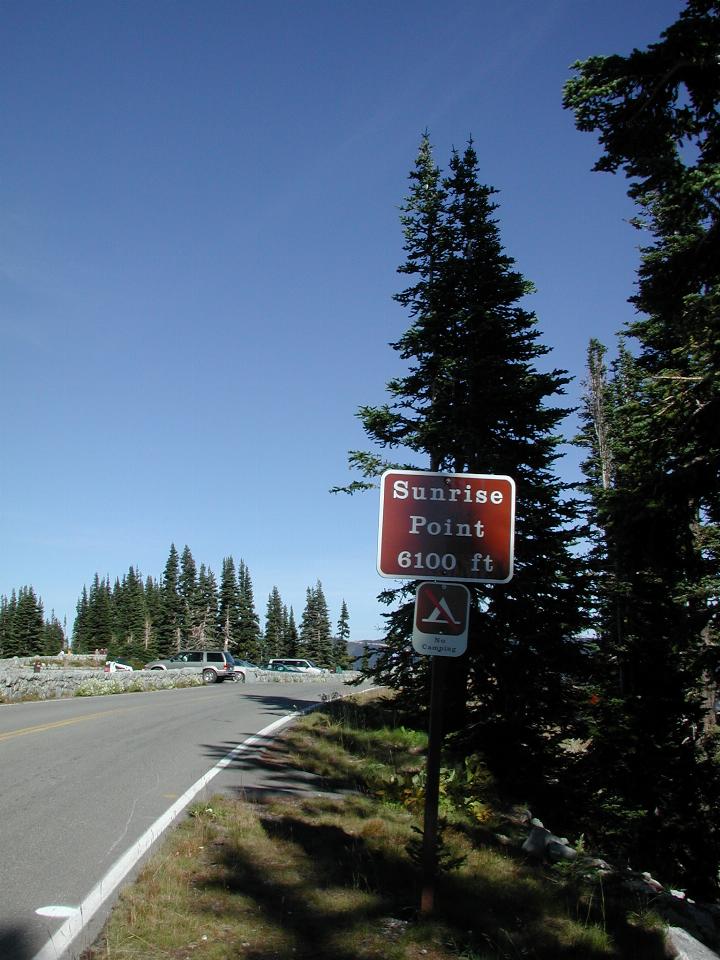

The Sunrise Visitor Center is located north east of the peak of Mt. Rainier, and is approximately 10 km (6 miles), as the eagle flies, from the summit.
The first stopping point on the way to the Sunrise Point, located at 6,100 feet above sea level. Mt. Rainier is impressive because it fairly much stands alone, the consequence of being a volcano.
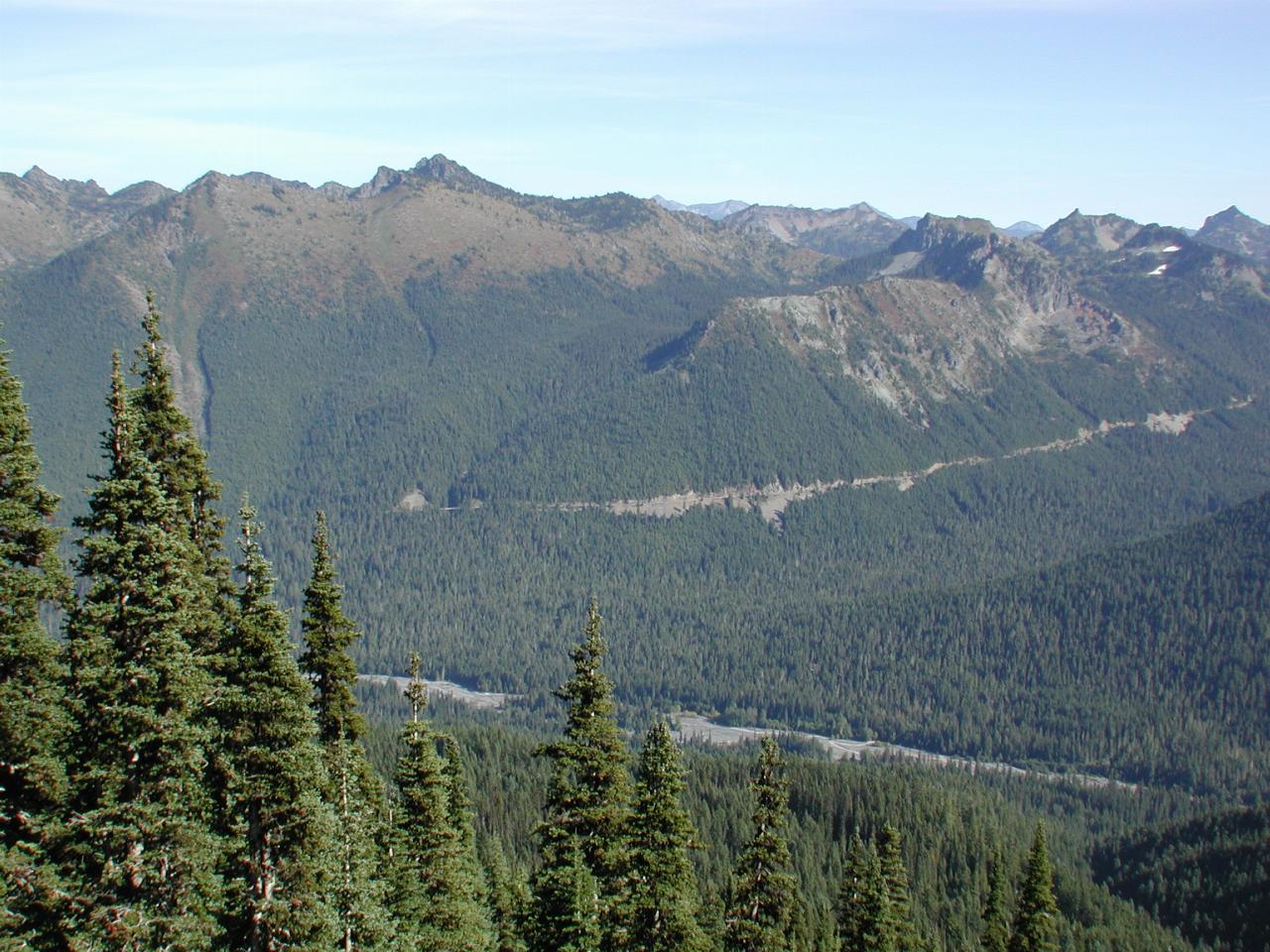
The road to Sunrise leaves State Route 410, The Mather Memorial Parkway, crosses the White River (named after the colour of the water) before starting the ascent. The scar along the hillside is SR 410, while the White River is visible along the bottom of the valley. This view is looking approximately east.
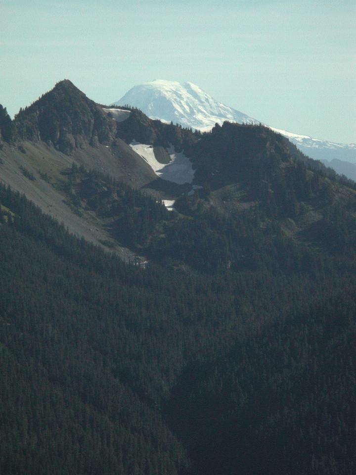
Looking roughly south shows Mt. Adams (12,276 feet), another of the five Cascade volcanoes in Washington State. North to South, they are Mt. Baker, Glacier Peak, Mt. Rainier, Mt. St. Helens and Mt. Adams.
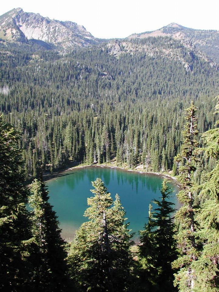
Sunrise Lake an alpine lake located just below the lookout. I expect the green colour of the water is either from leaves, or minerals washed in from the nearby soil.
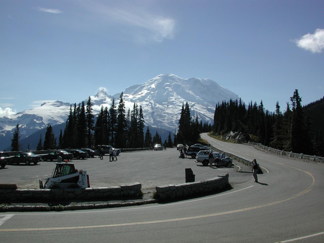
Well, what can you say? "There it is, men!"