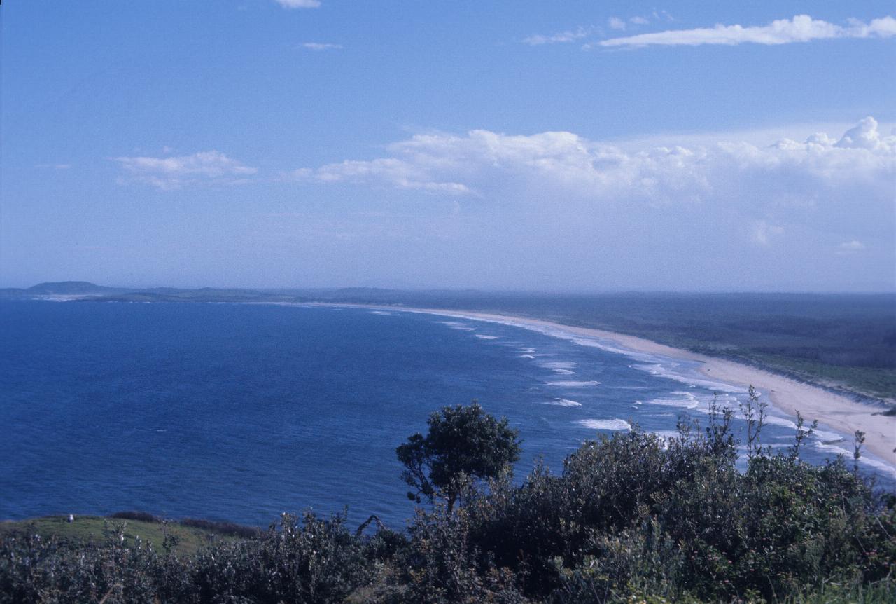

Most likely I stopped in Kempsey for the night. And as this is an afternoon photo, after checking in at a motel, a trip to Crescent Head was involved.
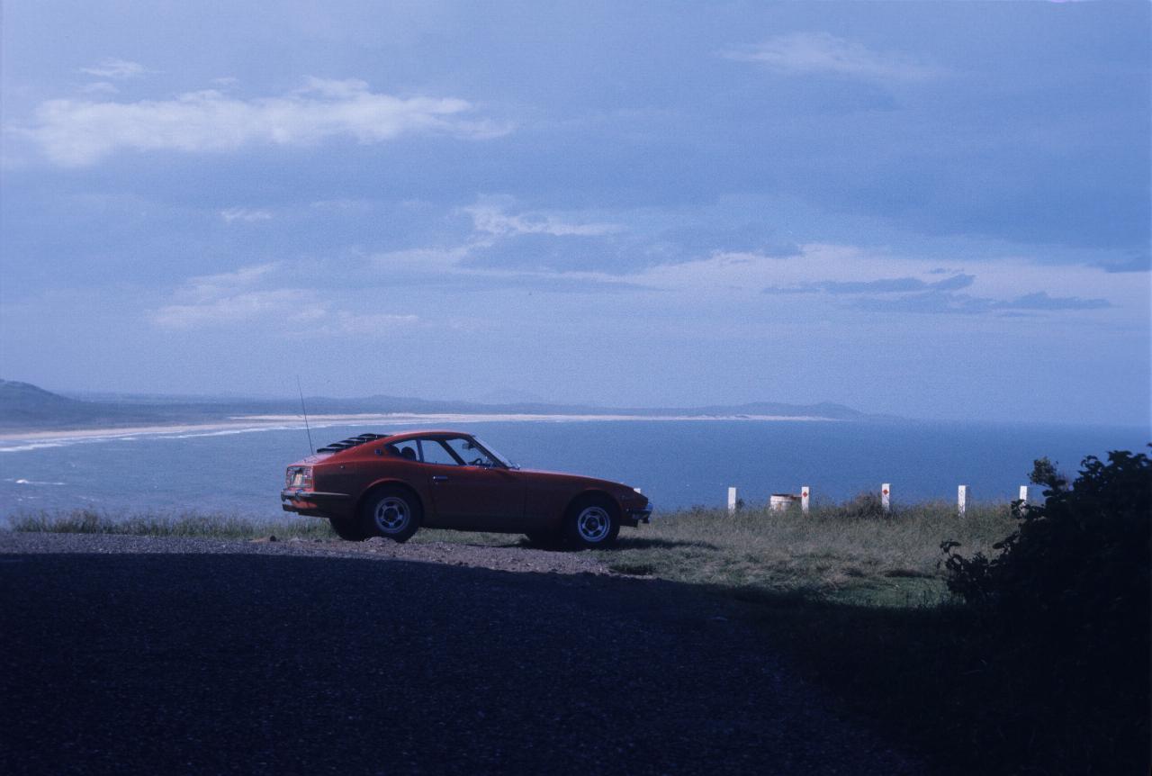
Still at Crescent Head, my Datsun 260Z enjoys a bit of sunshine, looking out to sea. The distant headland is likely Hat Head.
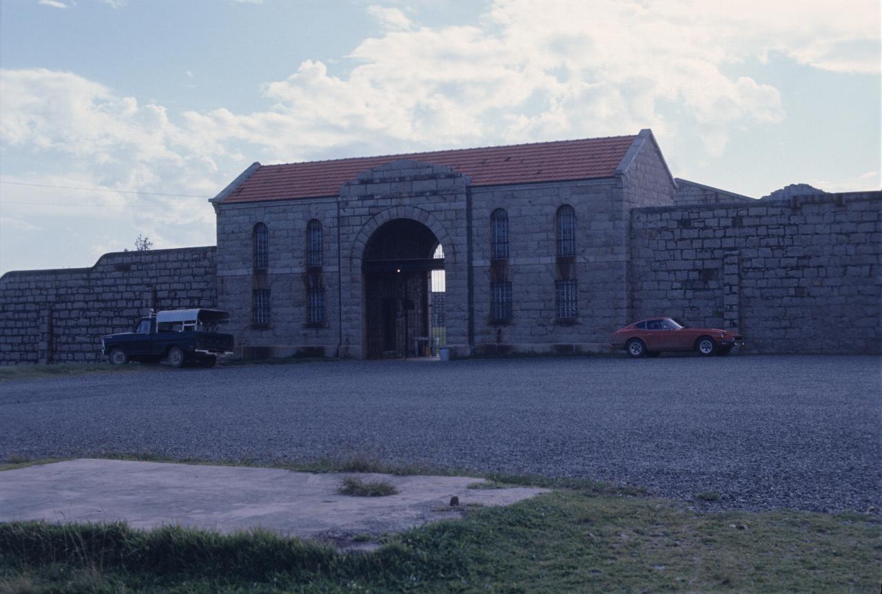
A new day, and more destinations. This is the entrance to the former gaol at Trial Bay , which is the river mouth for the Macleay River, which flows through (and regularly floods) Kempsey.
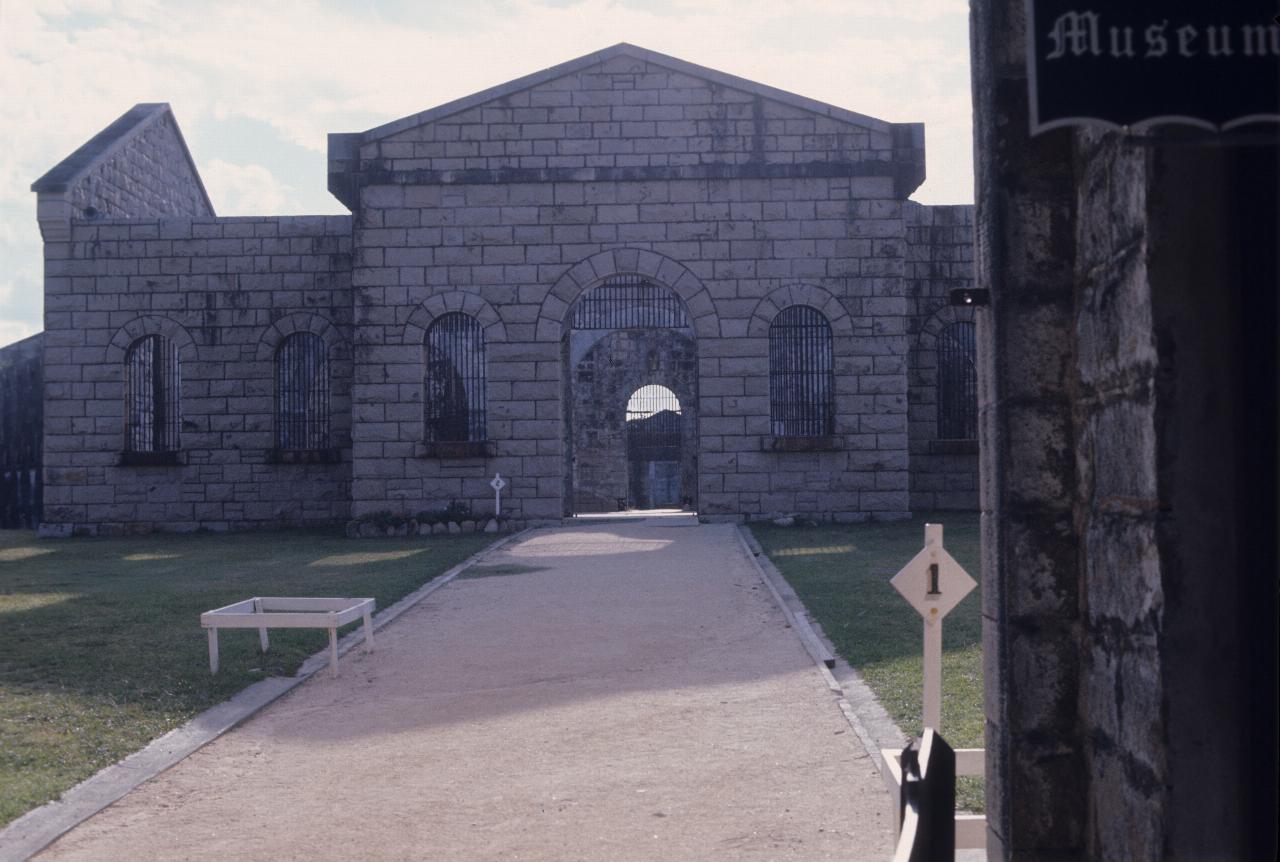
The inside of the jail - it does not look very inviting now, as a visitor. And given it's prominent position on a headland, I expect it would have been a very windy and inhospitable place to be - especially as a prisoner.
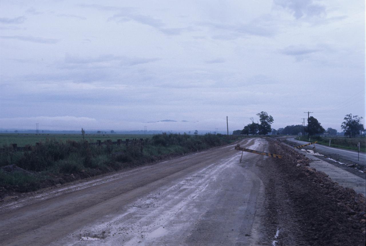
North of Kempsey, and this fog, or low cloud, blocks the view to the mountains behind. The fields look very green, and the wet dirt on the road suggests plenty of rain.
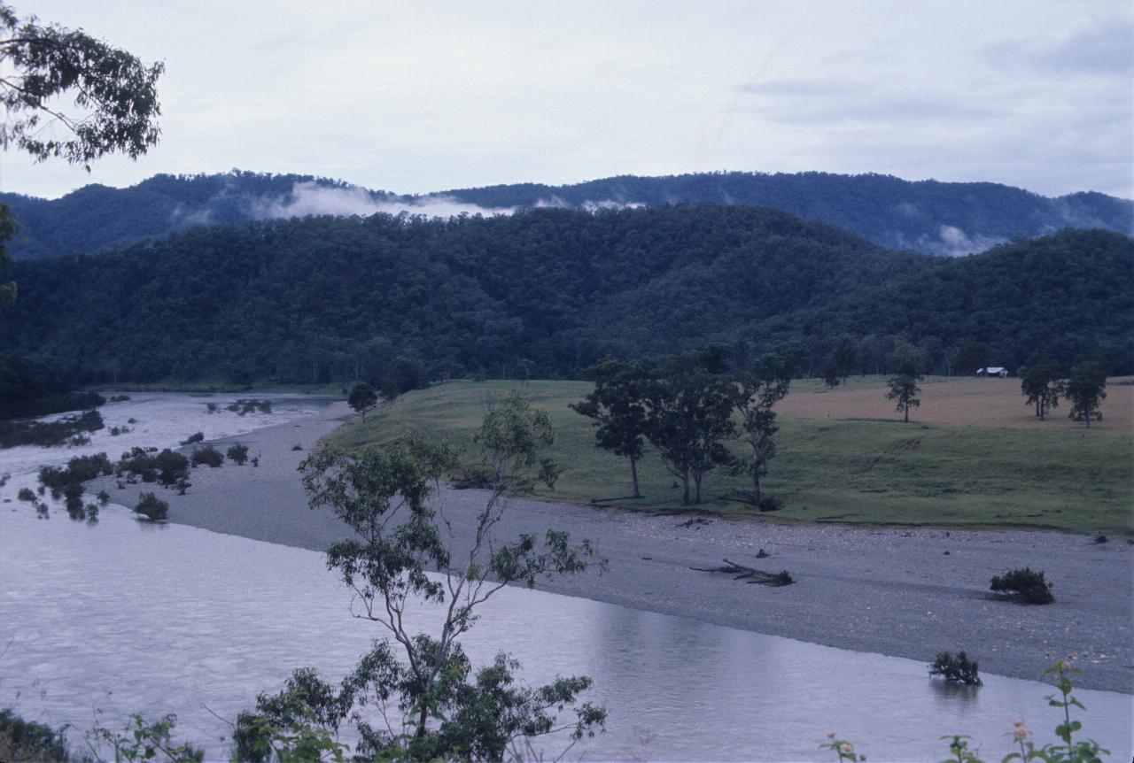
At Grafton it was time to leave the Pacific Highway and head inland, on a road entirely new to me - the Gwydir Highway , which runs from Grafton to Walgett in far western NSW. This journey would be only as far as Glenn Innes. Shown here is the Nymboida River, near Jackadgery. From here, the road is about to climb up to the tablelands.
You might think that a road named the Gwydir Highway would follow the Gwydir River. Well, it does, but not here! The Gwydir River starts near Glenn Innes, and flows inland to meet the Barwon near Walgett. This road follows that river for much of the river's length.
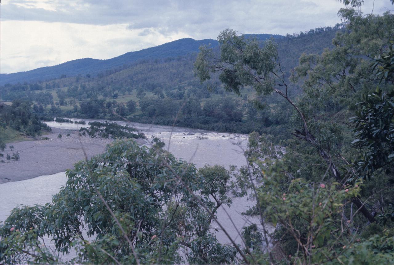
Still at Jackadgery, but looking downstream on the Nymboida.
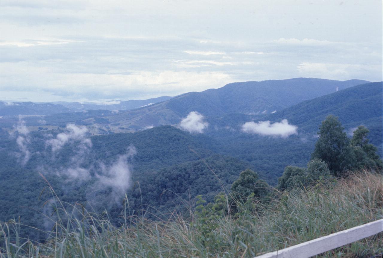
The Gwydir Highway climbs up the Great Dividing Range through Gibraltar National Park, with several stopping points along the way.
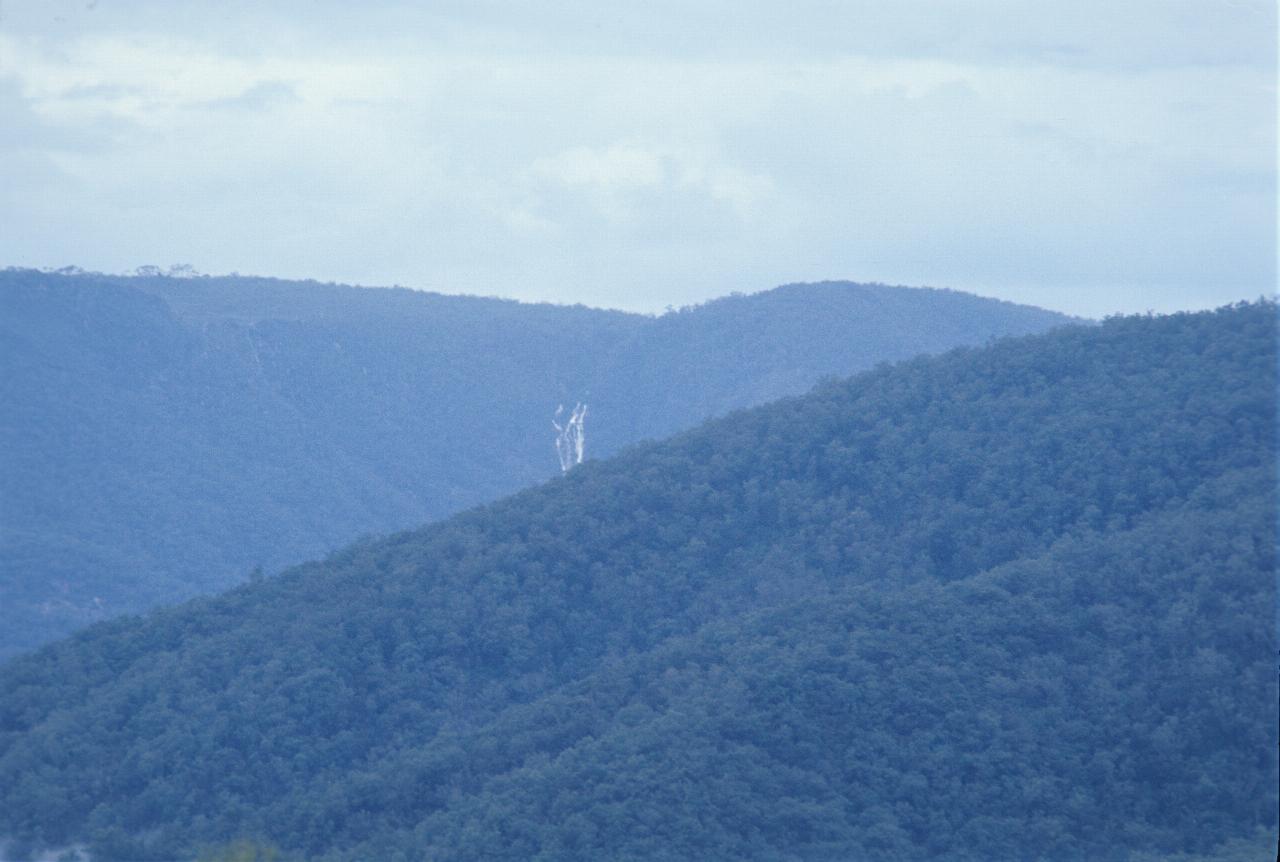
And given the terrain, it's not too surprising to see waterfalls. Again, the wet season helps the flow.
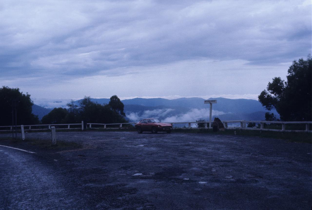
This is the top lookout on the climb through Gibraltar National Park. The rain is still around!
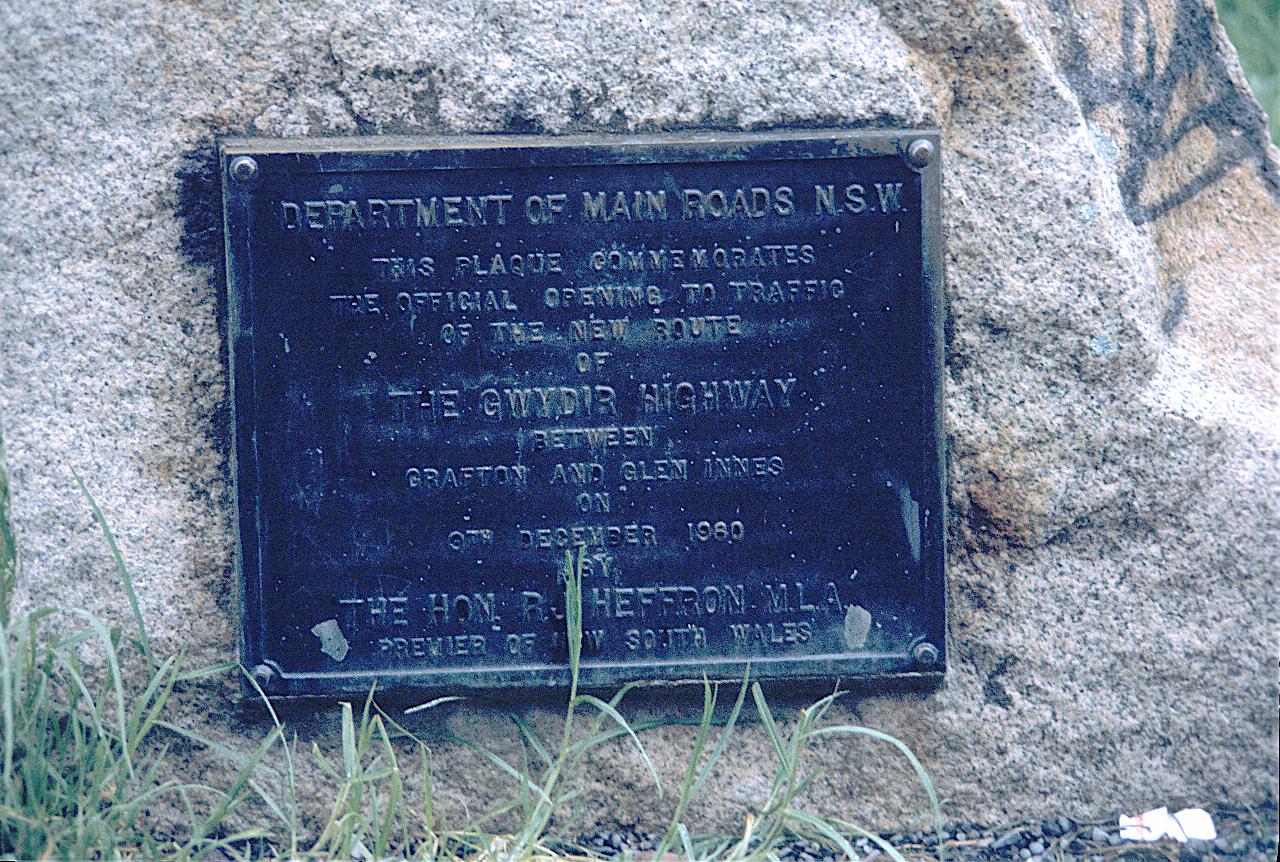
The opening of the highway is described on ths plaque:-
This plaque commemorates the official opening to traffic of the new route of The Gwydir Highway between Grafton and Glenn Innes on 9th December 1960 by The Hon. R. J. Heffron M.L.A. Premier of New South Wales.
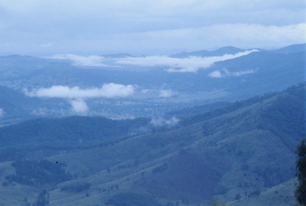
The view from this lookout. Not exactly an inspiring day for being outdoors.
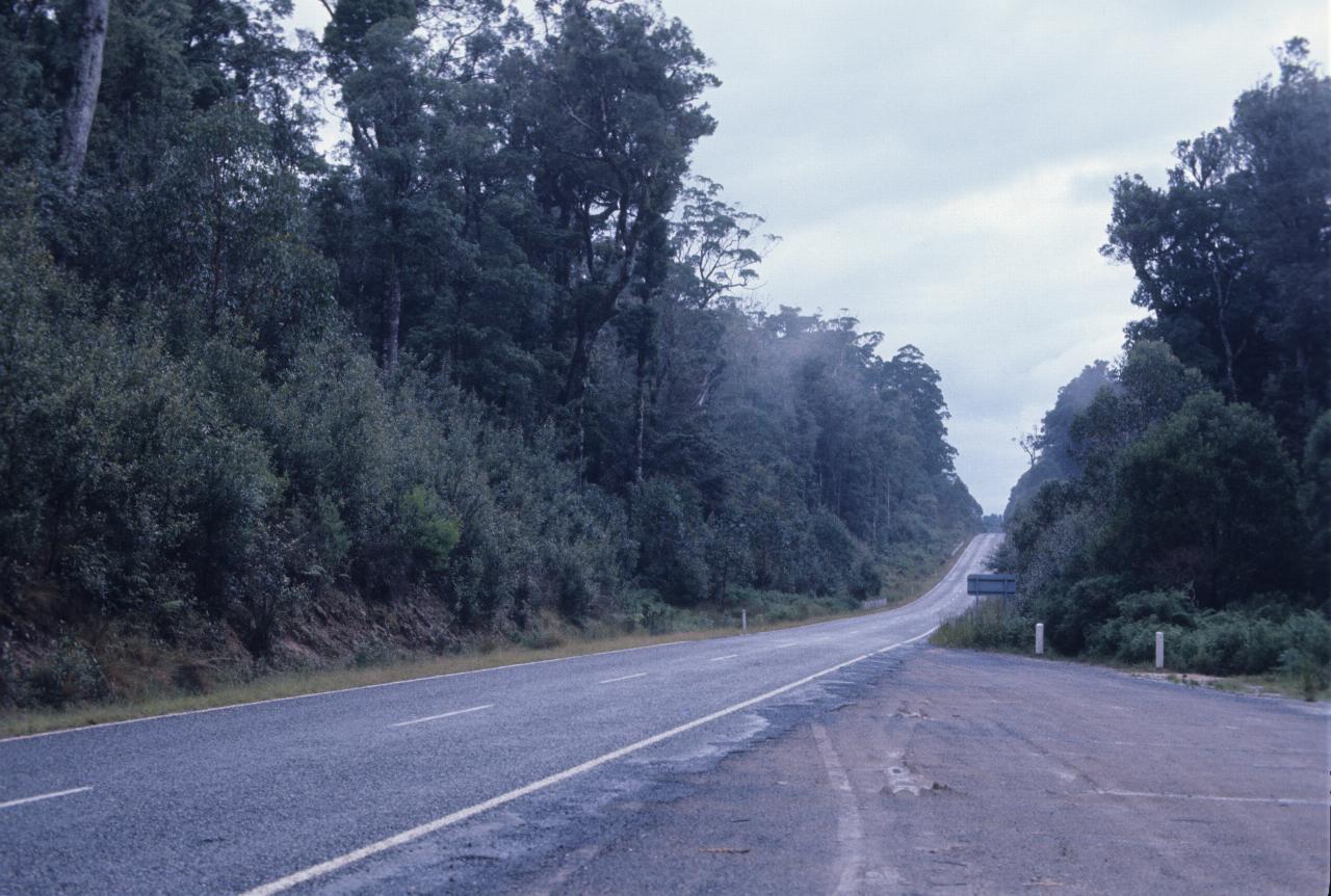
At the top of the range, and about to head inland, where it will likely be less wet.