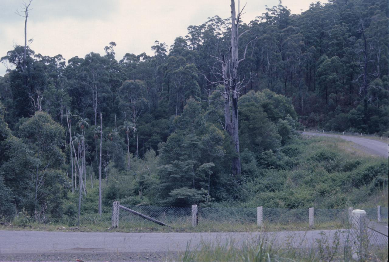
This is a trip I took, probably in February 1976, up the north coast of NSW then inland to the New England region before returning home.
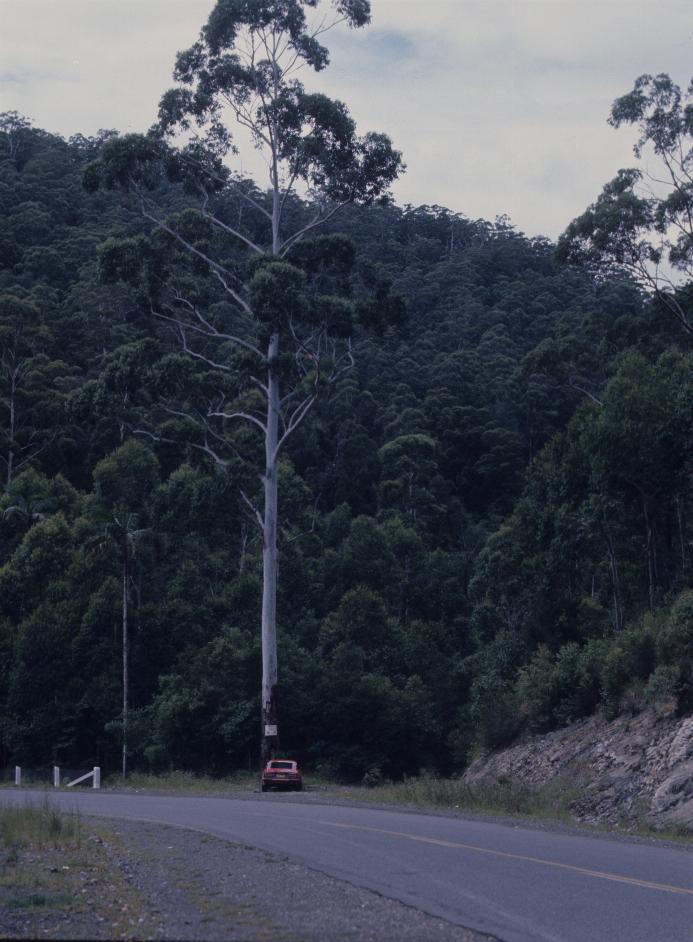
This tree on the Myall Lakes Road near Bulahdelah dwarfs my Datsun 260Z. Fortunately I parked there - I would not like to run off the road and hit it. The sign nailed to the tree is not readable even in the full resolution image.

This is likely at the same location as above, showing the general density of the forest here - high. Well, it is a National Park, at least in places.
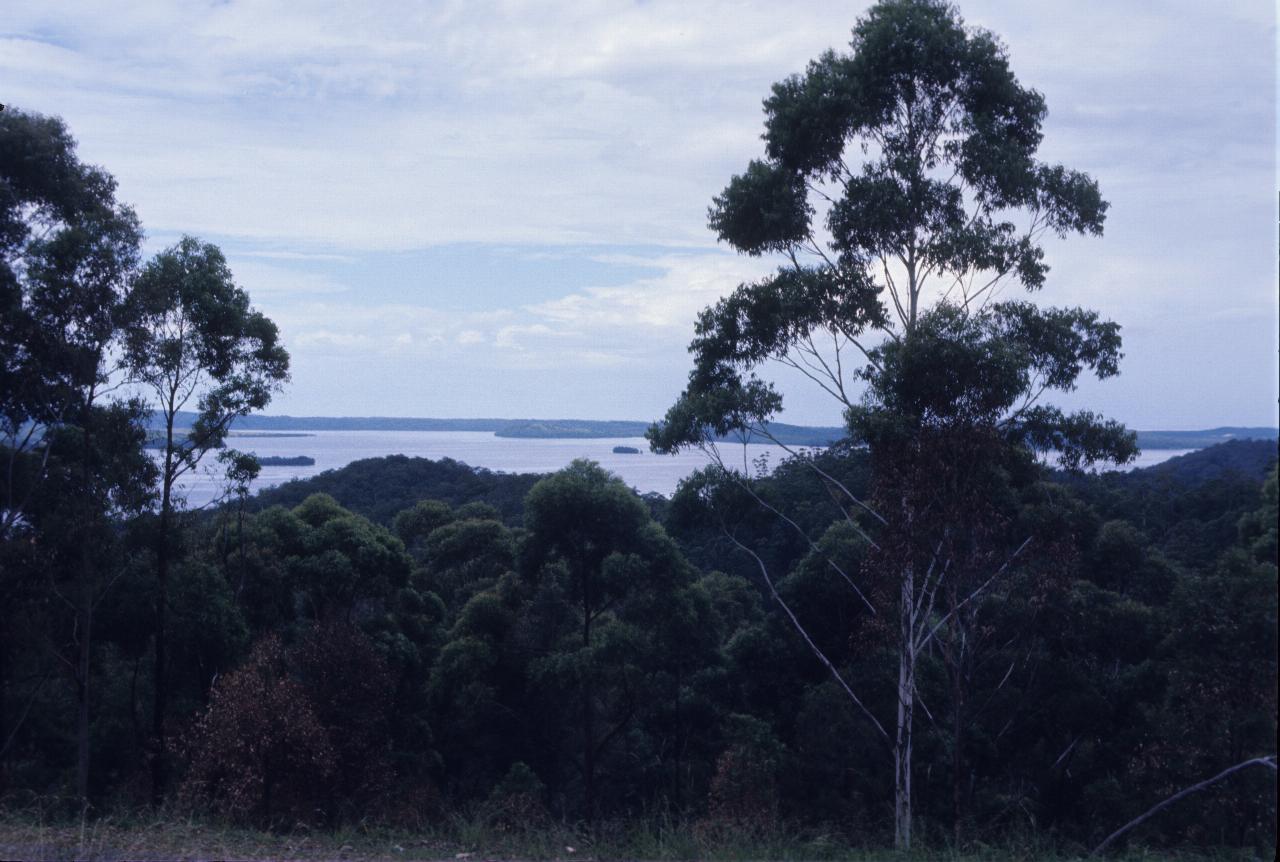
From somewhere (probably not the same place as above) along the Myall Lakes Road. Hence, the name of the road - this being the Myall Lake.
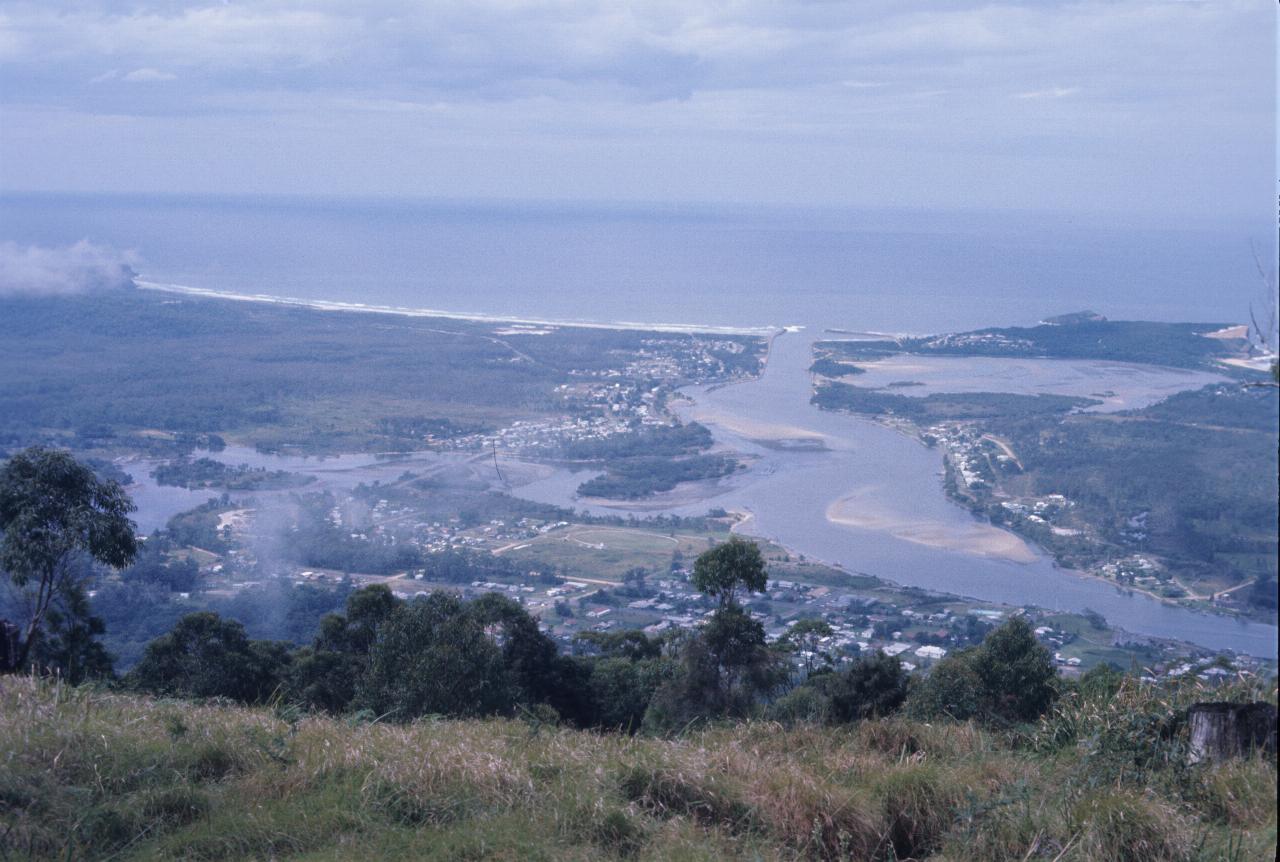
Continuing on, and taking the long way to Port Macquarie, leads to the township of Laurieton, as seen from North Brother Mountain. Those are clouds below the mountain, not smoke from fires. Later photos suggest it was a wet year, though not a torrential downpour year. The river flows from Queen Lake.
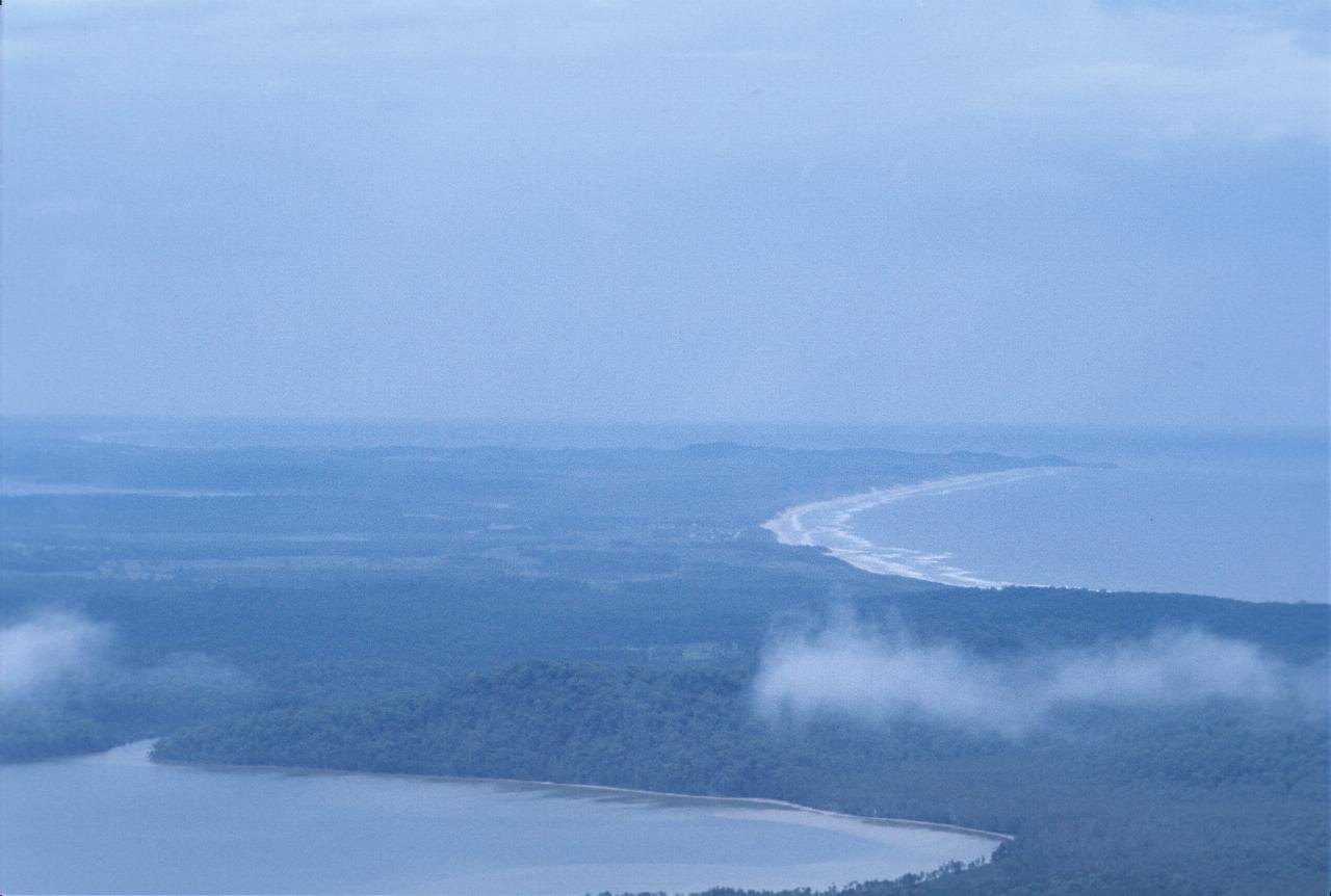
Looking north from North Brother Mountain towards Port Macquarie. The distant headland is likely Tacking Point leading into Port Macquarie. The lake near the bottom is Queen Lake, and the one further up is Lake Innes.
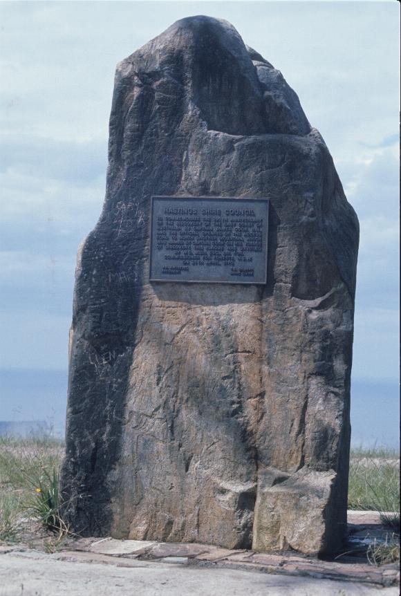
This is the commemorative plaque on North Brother Mountain. The wording is:-
To commemorate the 200\ #sup th is not known anniversary of the discovery of the east coast of Australia by Captain James Cook, R.N., and the official opening of the access road to North Brother Mountain, which was named by Captain Cook on his voyage of discovery, this plaque was unveiled by W. D. Muir, Esq., Dip. for Commissioner for Forests, N.S.W. on 29th April, 1970
#small #{ is not known
President
Shire Clerk
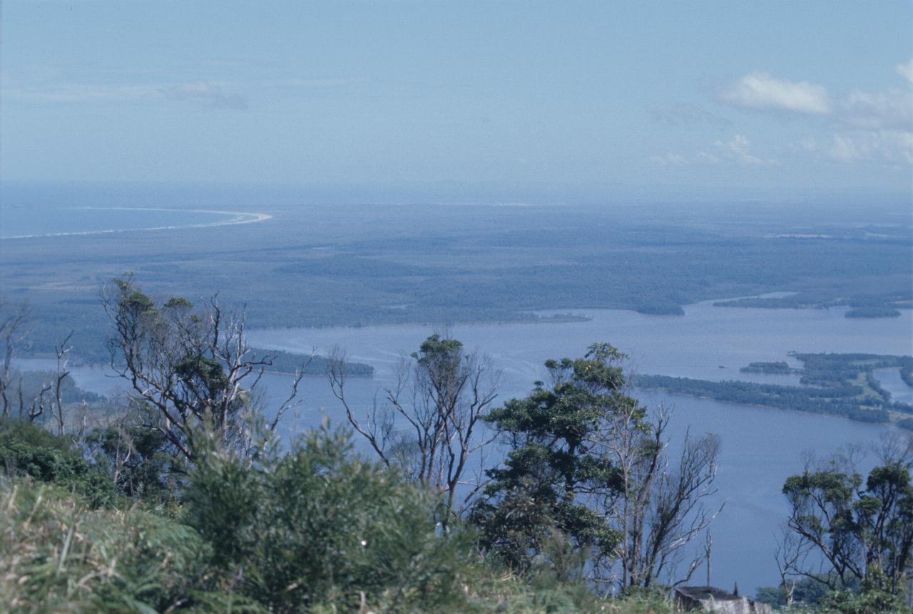
Looking south from North Brother Mountain over Watson Taylor Lake and some national park land.
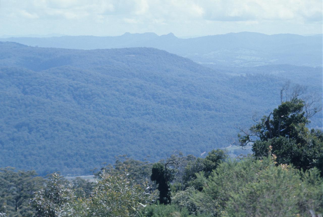
Looking south west from North Brother Mountain. The distant peaks are likely volcanic plugs from eras past.
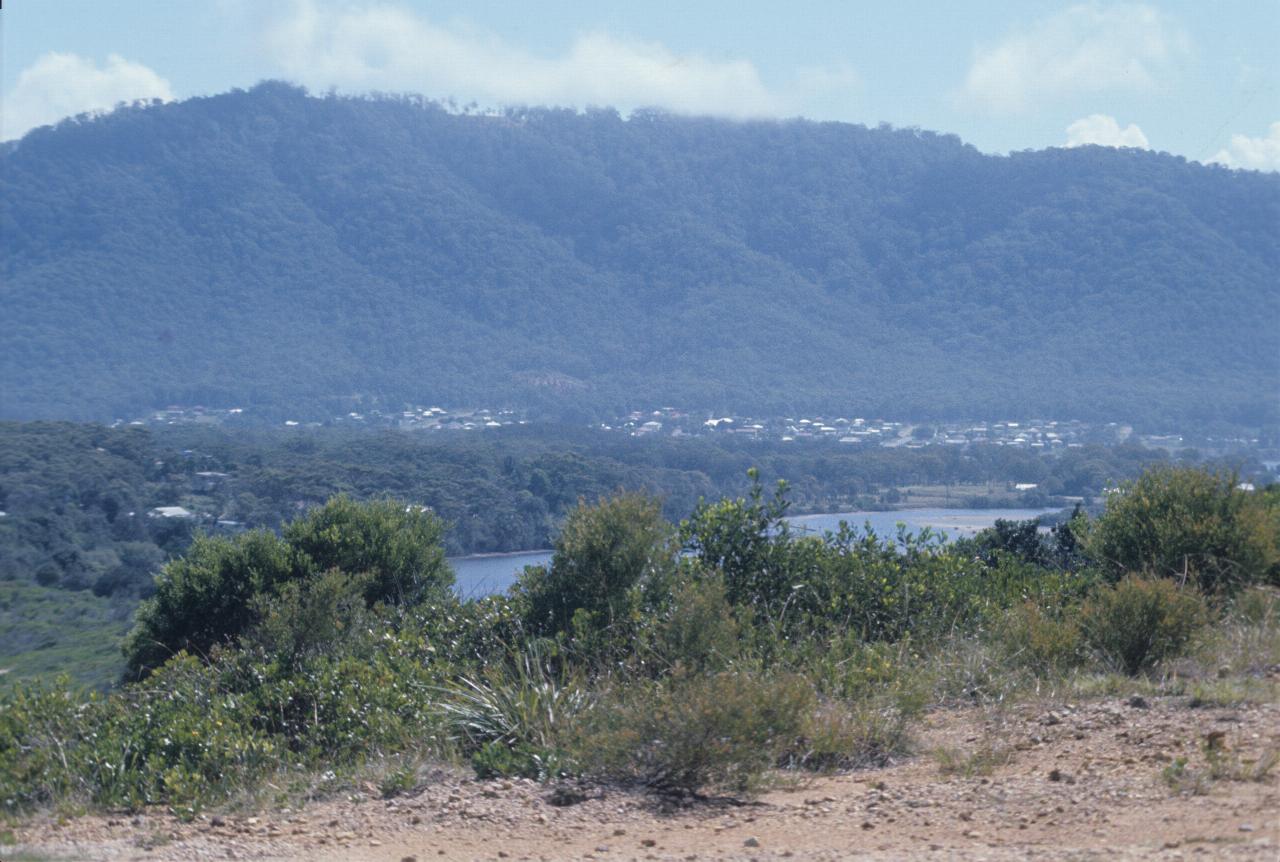
North Brother Mountain from the south headland at Laurieton. The above photos were probably taken from the section at the top with the thinner tree population.
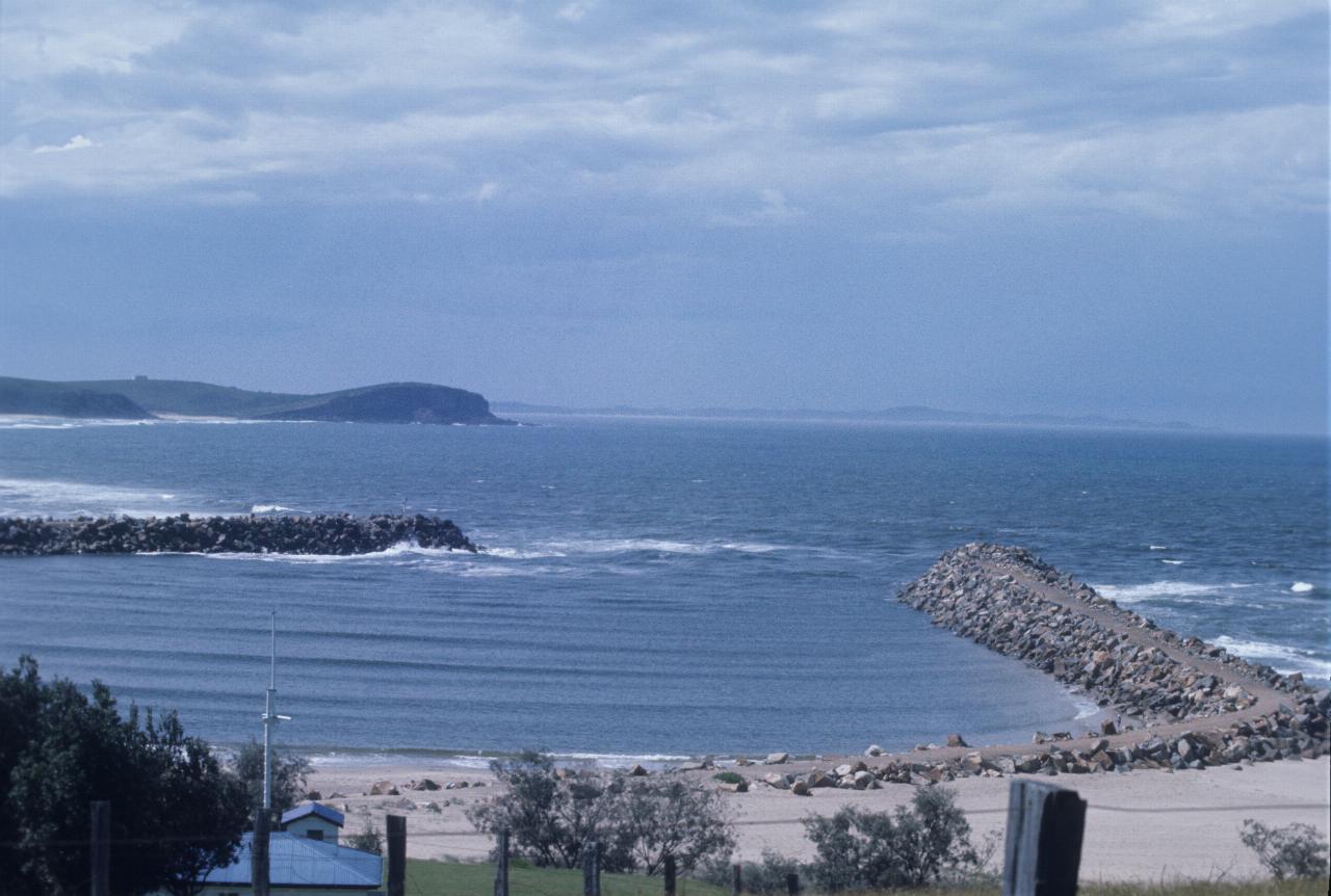
The Laurieton breakwater, and looking north.
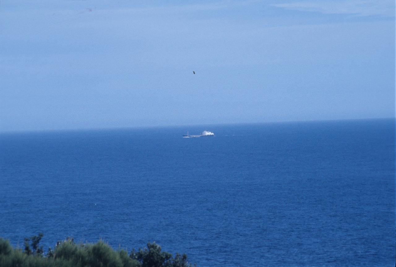
From the same location above, this freighter - possibly an oil tanker - seems to be in a bit of a swell. Most likely destination, given how close it is to shore, is Port Macquarie.
File matching: NOTHING FOUND Just a small section of the above photo. It looks as though there is another vessel - perhaps a tug boat - along side of this ship.
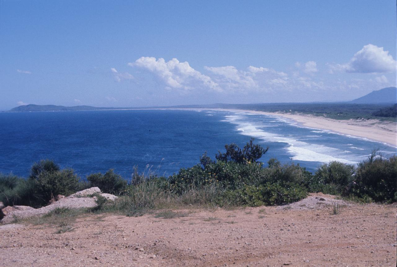
Looking south from Laurieton headland. The point on the far left could be Crowdy Head, though there is another point on the map, but without a name.