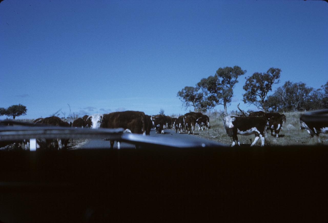

Another viewfinder photo where the camera sees something different. The bull in front does not seem to pleased!
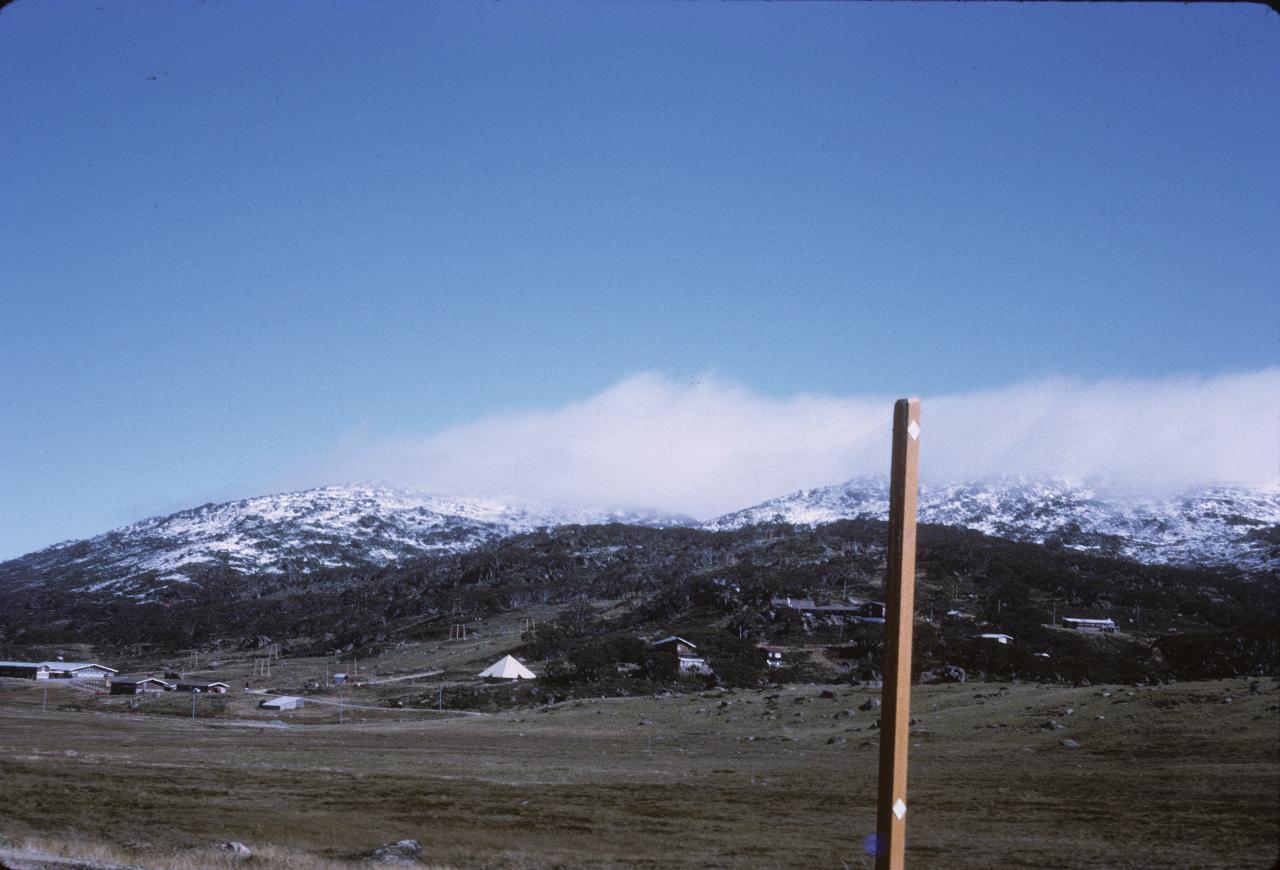
I think this is Smiggins Holes ski area. Like most such areas, they look much better with snow all around. It must have been quite an early snow fall.
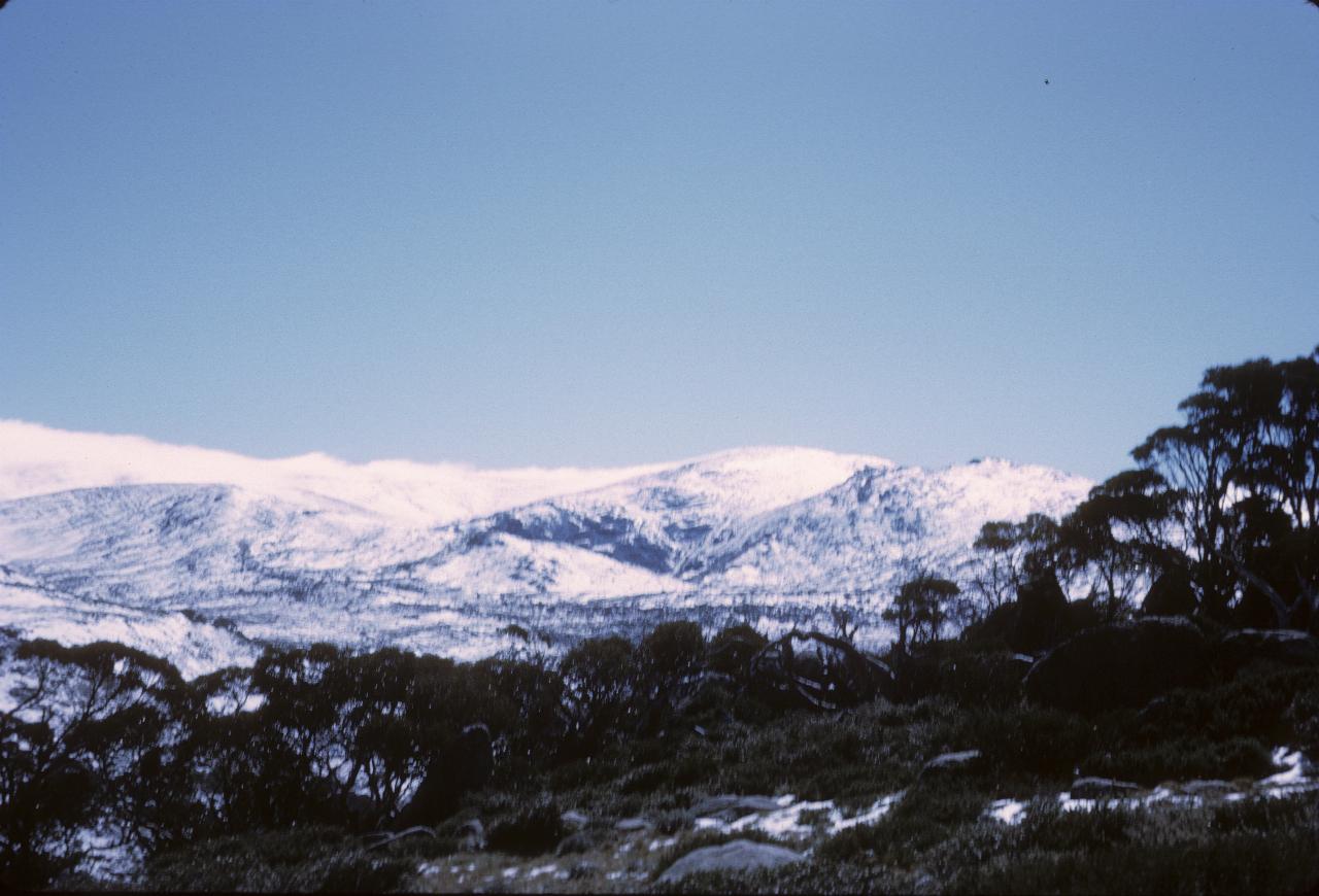
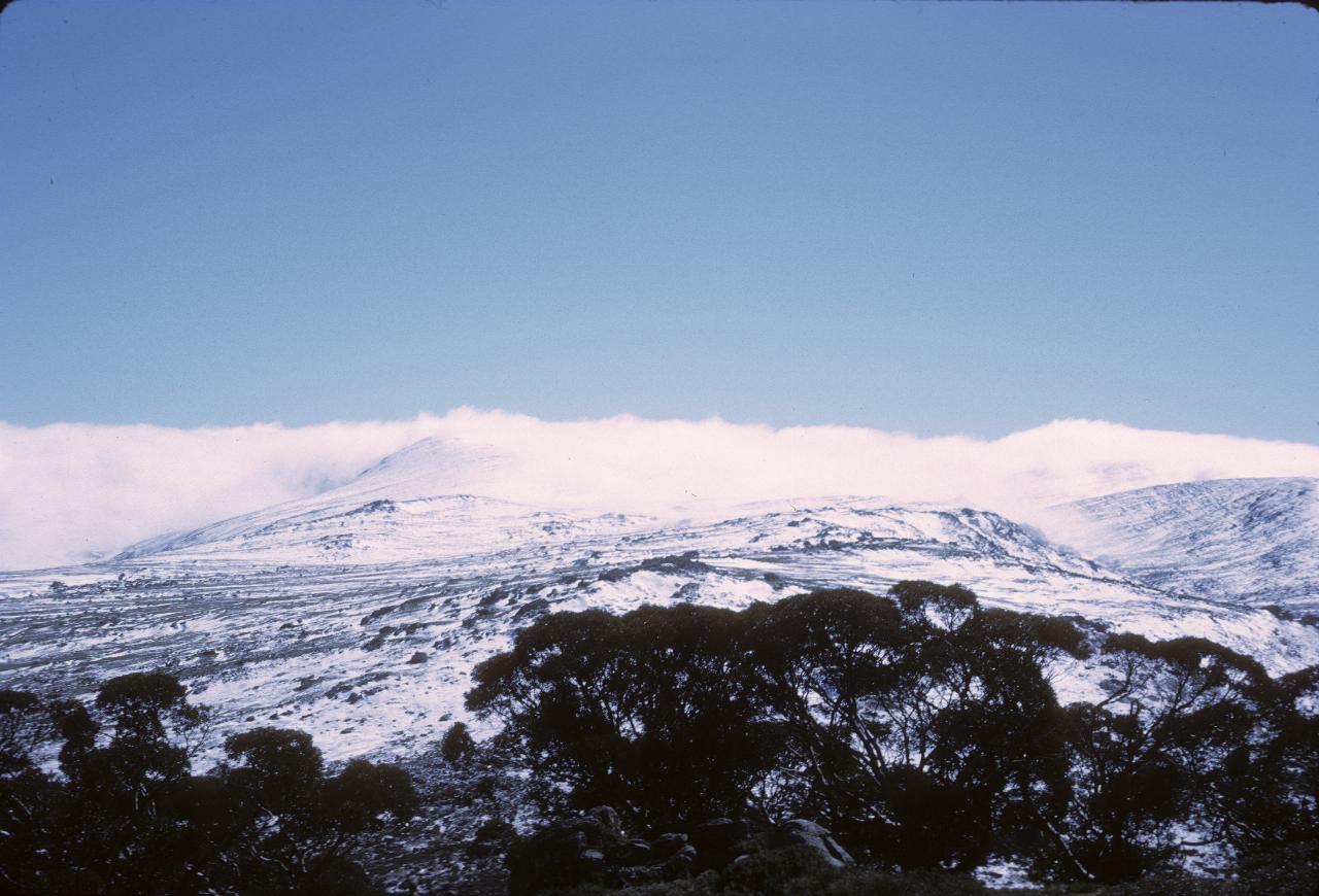
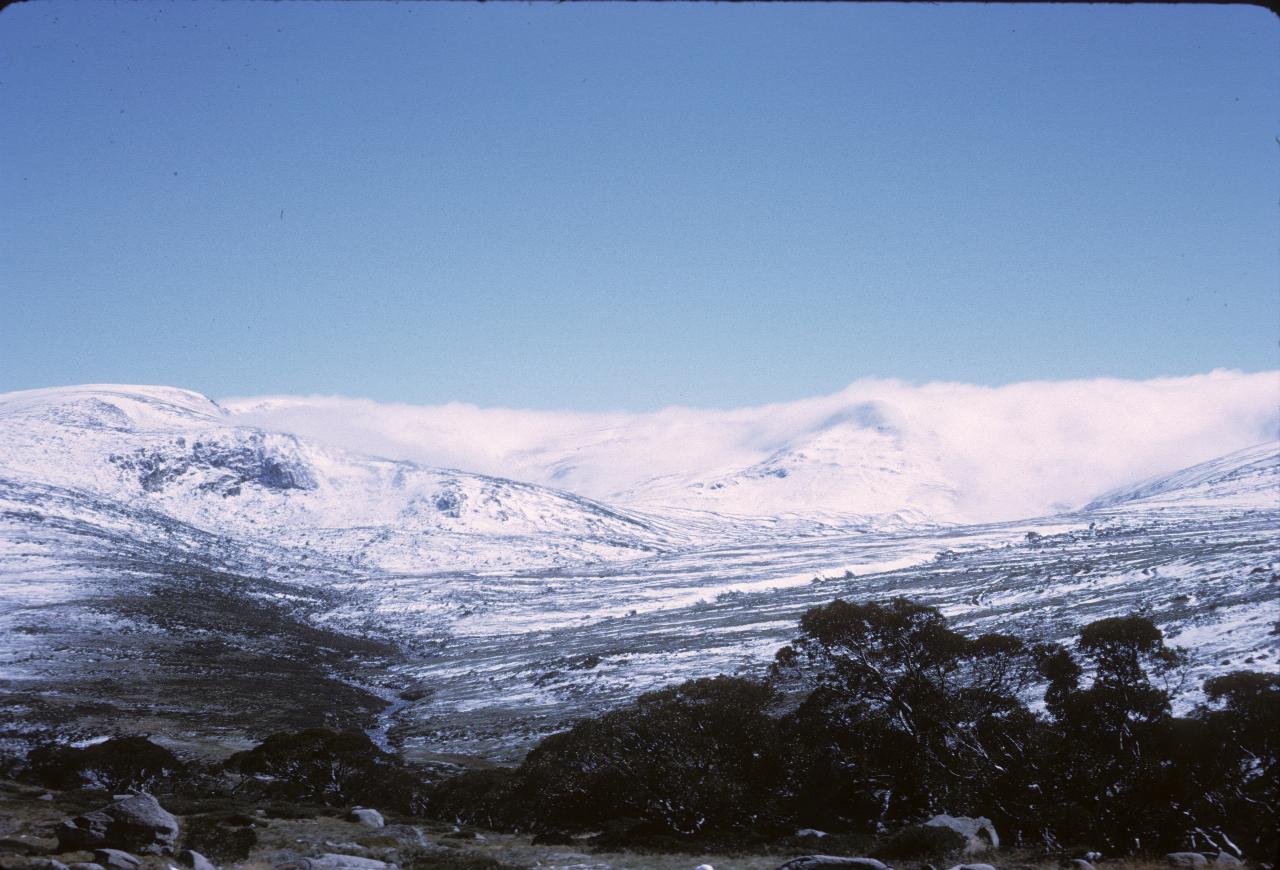
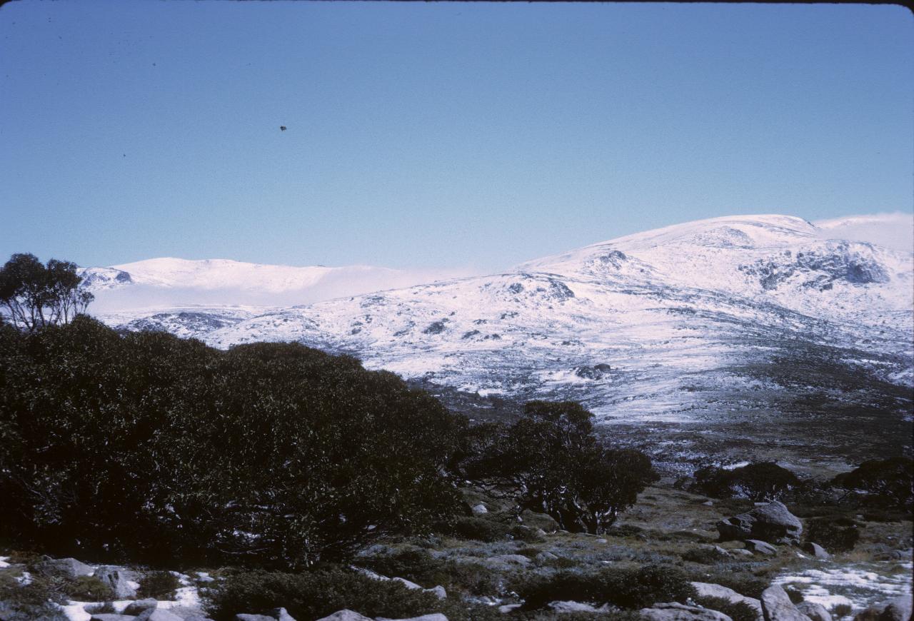
I would guess these are all taken around Charlotte Pass, which is the end of the road - walking only from then on. Somewhere among the hills is like Mt. Kosciuszko, the highest point in Australia.
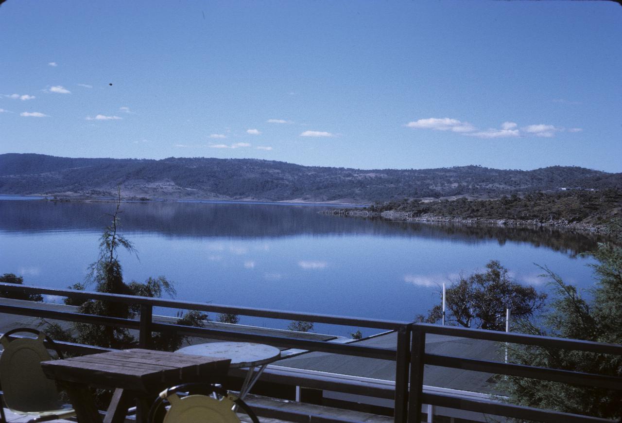
This is Lake Jindabyne, probably as seen from East Jindabyne, though just possibly from Jindabyne itself. The water level was so low on my 2007 visit it's difficult to compare the photos.
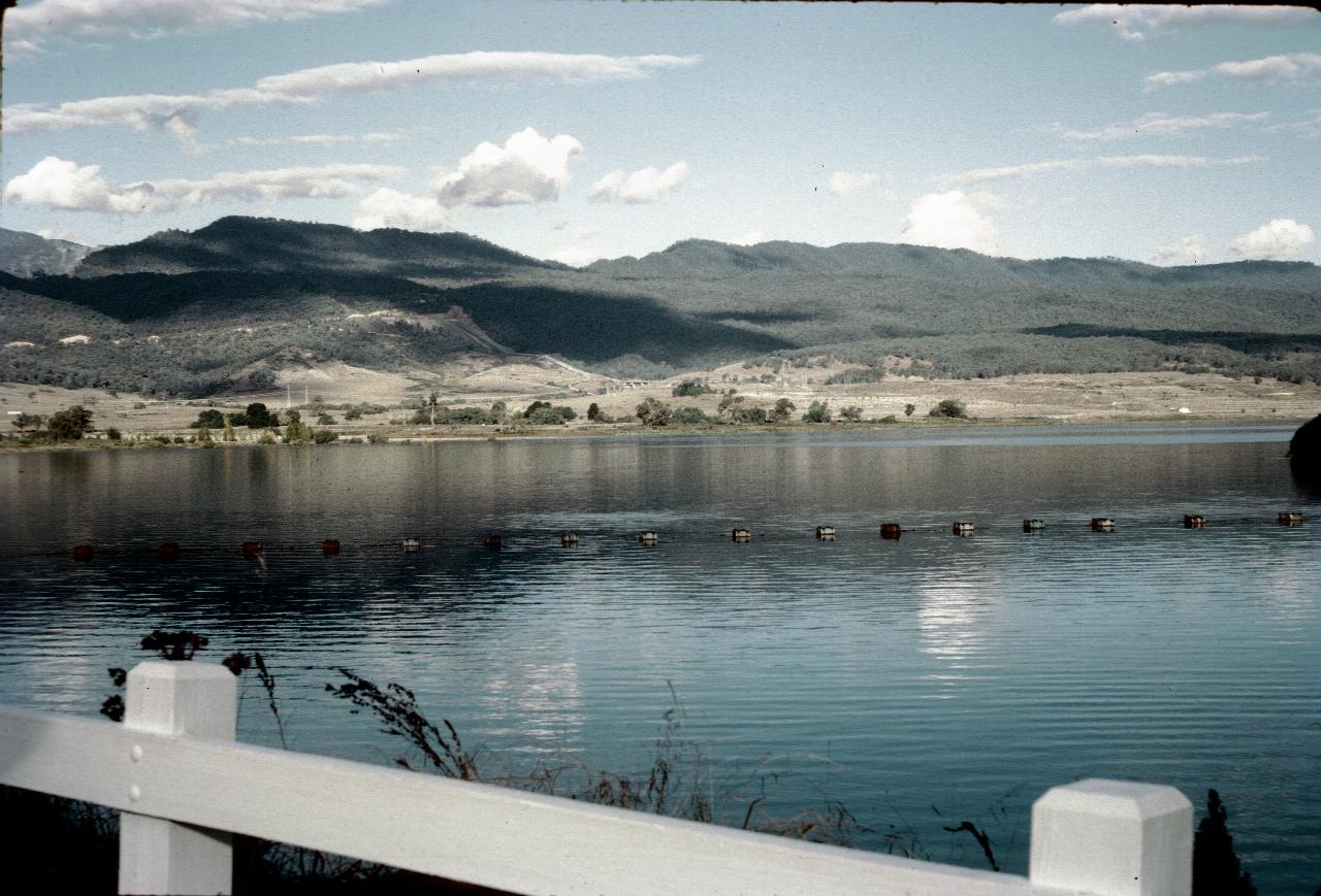
Given the debris barrier in the water, this is likely taken from the spillway at Jindabyne Dam, looking about north west. The scar in the hillside on the left is the Alpine Way road. Just near where the road disappears on its right hand end you may be able to see a pipeline running up the hill from the lake; this connects to the tunnel to Island Bend. There is a pumping station on this lake to move the water over there.
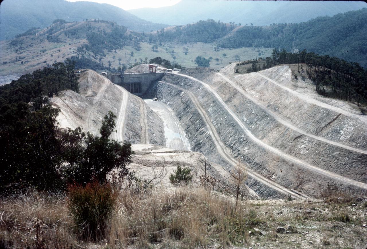
This is the water feed from Talbingo Dam into Tumut 3 Power Station. Not too surprisingly, this is on the Tumut River. The actual dam wall is off the right hand side. Clearly they are not yet ready to have the water come in.
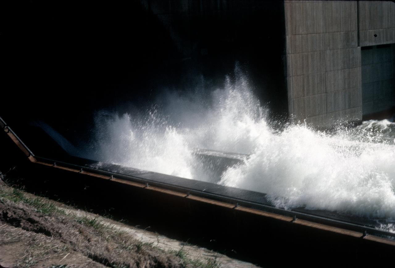
Given the above state of Talbingo Dam, I would guess this is at Blowering Dam's Tumut 4 Power Station. The concrete building in the rear is (presumably) the actual power station; this flow is perhaps bypassing the station to provide water for downstream.