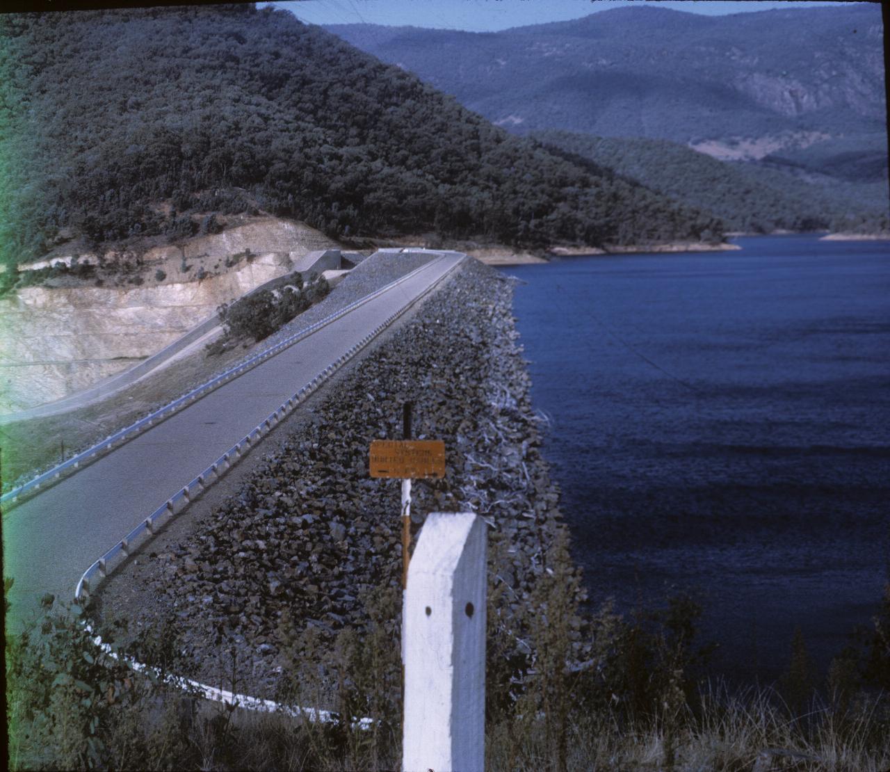
These slides are a bit of a mystery. Mystery in the sense that I don't recall this period at all. The date on the slides is April 1971, and as I had just started full time employment, there would have been no holidays. Good Friday was April 9th, so if I was here, that would have been the period. On the other hand, I do recall flying to Cooma and meeting Dad (and I think Uncle Jack) and driving back home. Whether this is part of that or not, I have no idea.

Satellite images suggest this is Blowering Dam, on the Tumut River. The green tint on the left is the beginning of the film, and that's also the reason this image has the incorrect aspect ratio of slides.
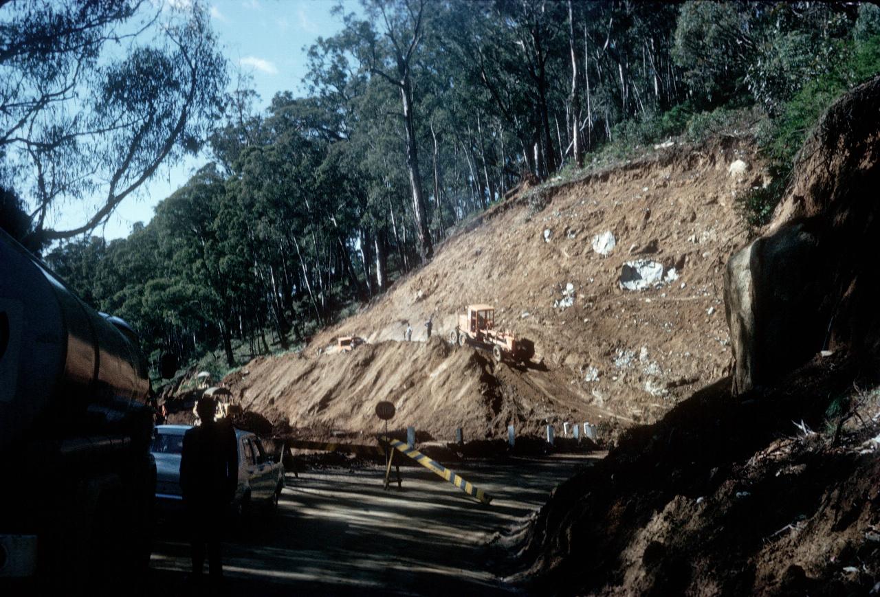
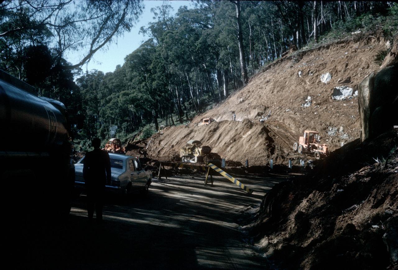
Men at work - with big machinery. I would guess this is the Snowy Mountains Highway, as that is the only road which passes by Blowering Dam in the first photo.
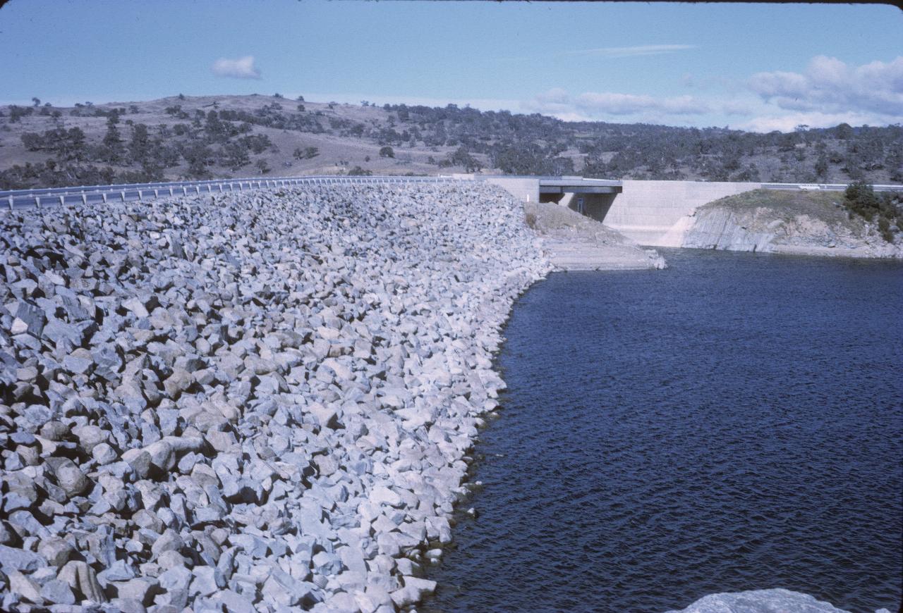
This is likely Jindabyne Dam, from the Cooma end. This is the last dam on the Snowy River; after this, it's down through Dalgetty and into Victoria. If there's enough water.
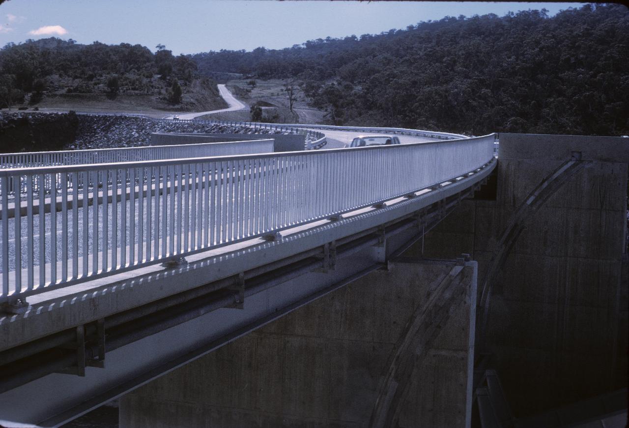
The same dam wall, but seen from the Jindabyne end.
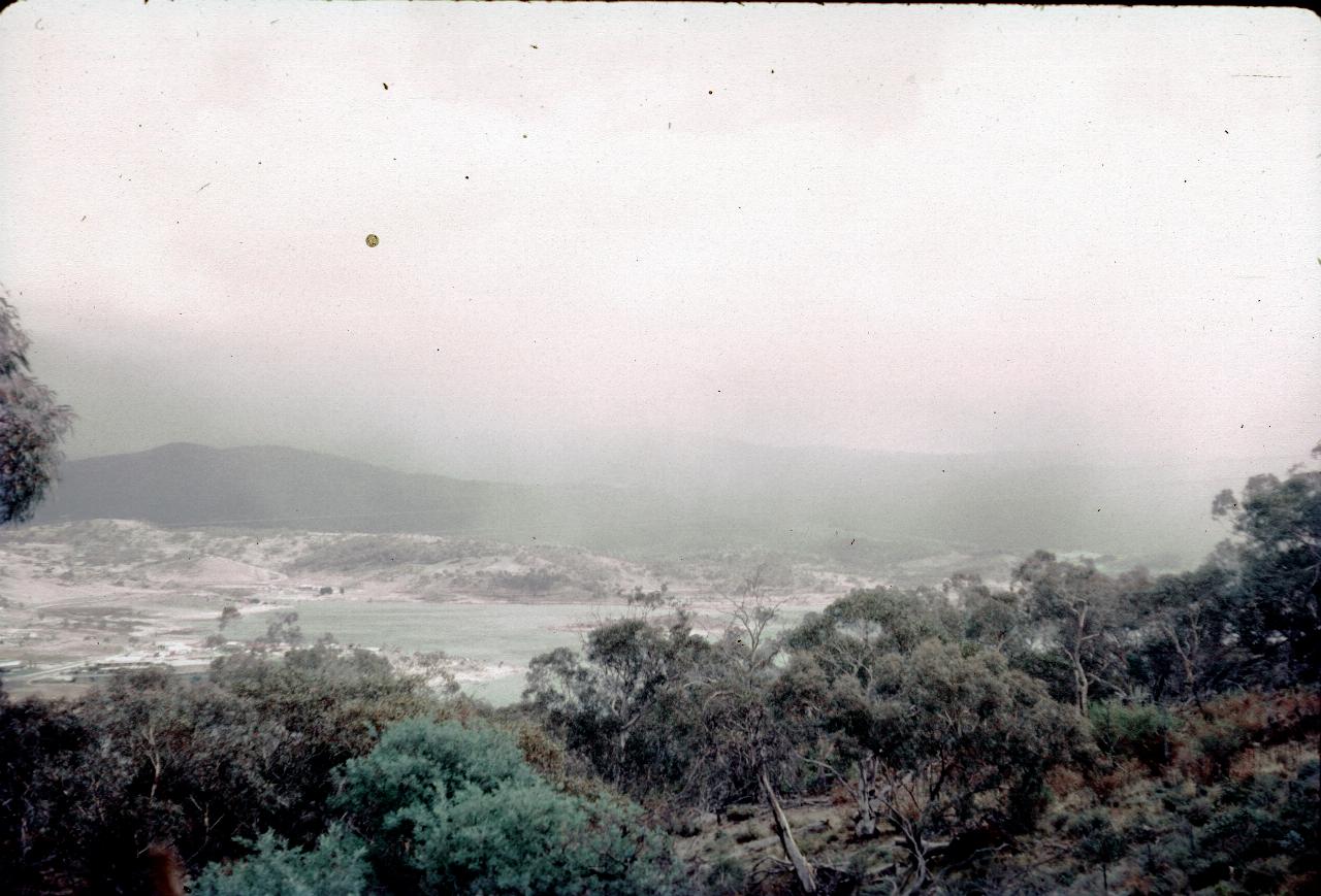
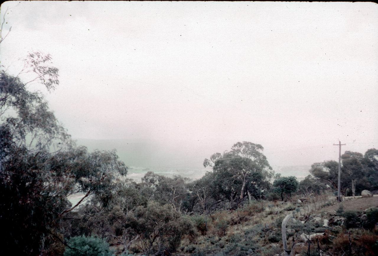
Well, this could be just about anywhere that has low clouds/fog roll in. But it seems likely that it was in the Snowy Mountains somewhere.
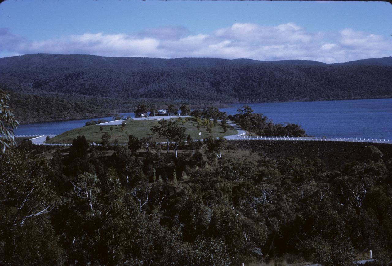
The Lake Eucumbene tea house facility is still there in this slide! In 2007 it had gone and my guess is that once the organised tours stopped, it had insufficient custom to keep open. Lake Eucumbene is very full!
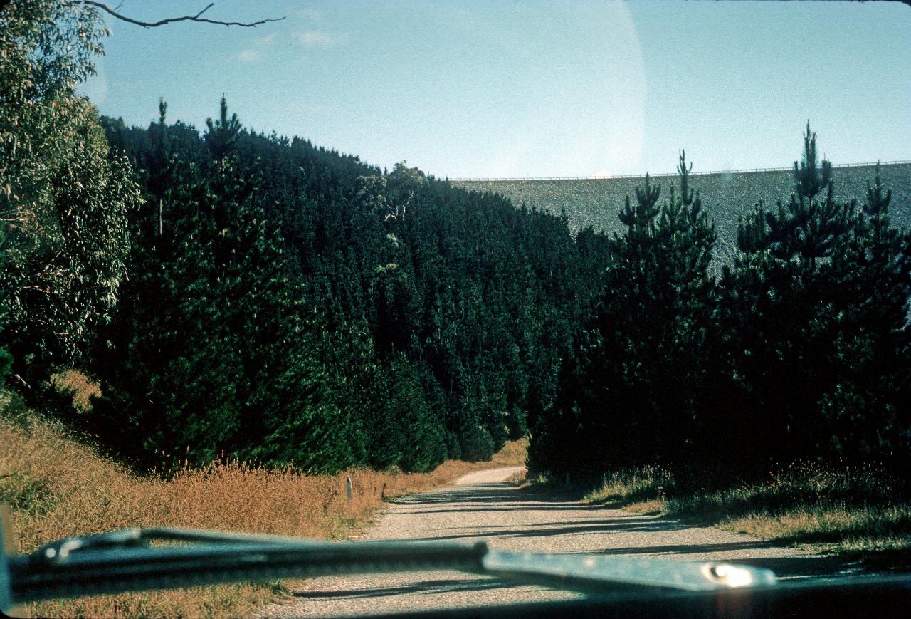
The road which crosses near the base of the Lake Eucumbene dam wall. The trees are presumably to stabilise the soil
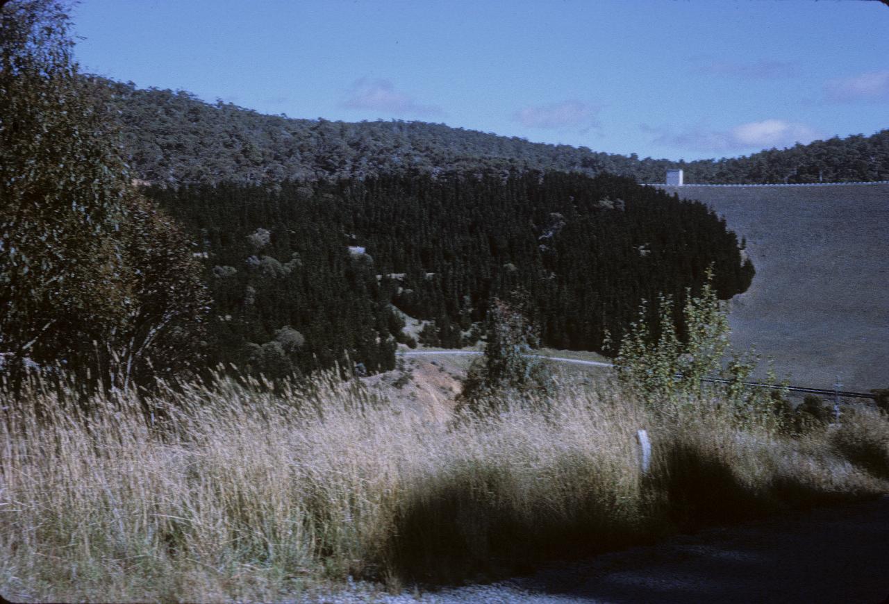
This view looks down towards where the last photo was taken, although it's location is to the left of this one. That's Lake Eucumbene dam wall on the right.