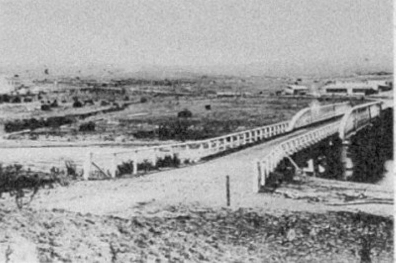
The following information is contained on a display board in the riverfront park of Dalgety. I have not verified its accuracy.
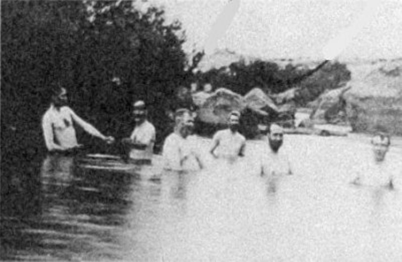
Dalgety has long been an important area for gatherings of Aboriginal groups and clans and as a place of residence for some of the Monaro people.
It was first named Buckley's Crossing after brothers Patrick and Edward Buckley who used this place to cross the Snowy River with stock brought up from Gippsland in 1839.
An official survey of the township was carried out in 1874. Town surveryor Mr J. R. Campbell chose the family name of his wife Brigette Dalgety and Buckley's Crossig became Dalgety. Brigette was the niece of Frederick Gonnerman Dalgety, founder of the firm Dalgety & Co.
In the 1880's official buildings were constructed within the boundaries of the village.
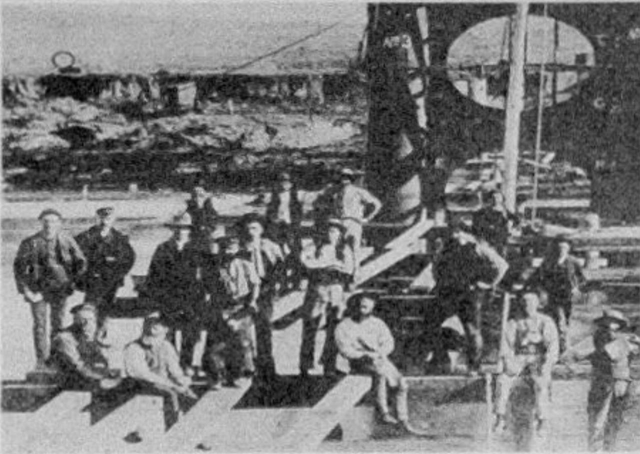
The bridge carries a 4.6m wide roadway with timber decking on timber stringers and metal cross girders. The metal lattice trusses are continued over two spans, each of 42.8m. There are also ten timber girder approach spans, the full series of spans being 8m. The three main piers are twin metal cylinders.

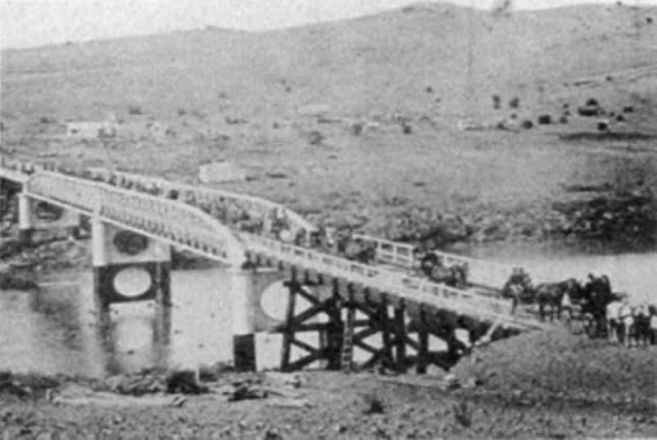
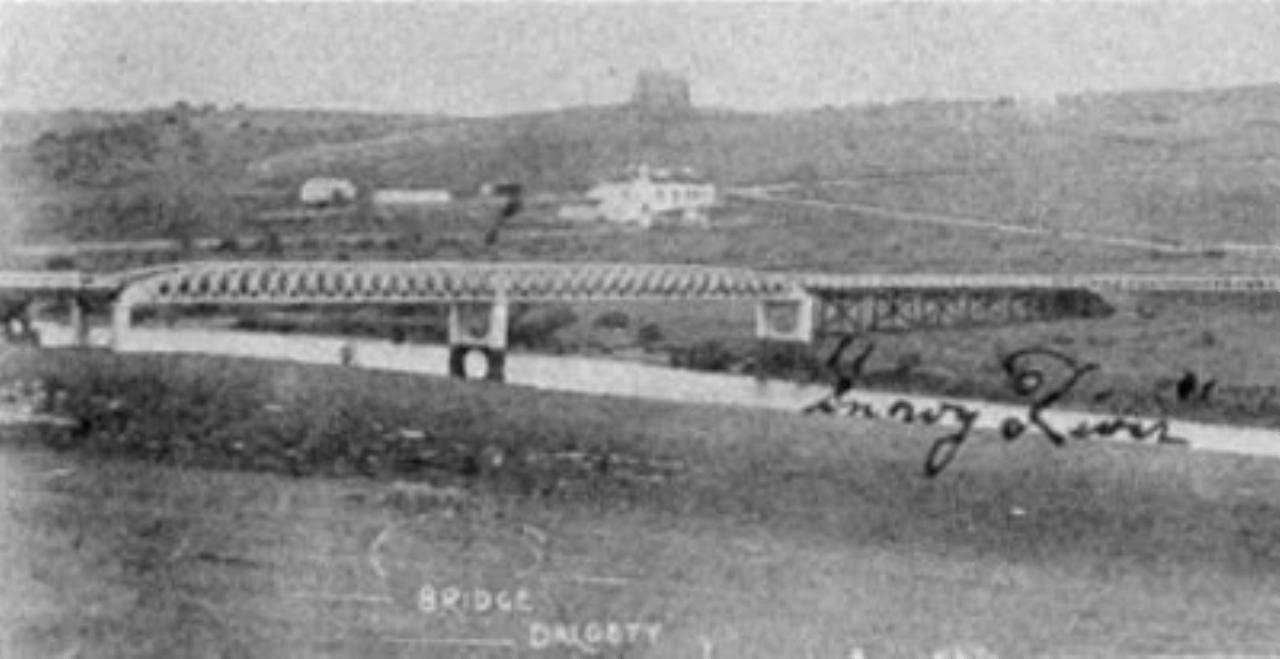
Mrs. Bloomfield from "Murranumbla" officially opened the Dalgety Bridge in 1888. The bridge is listed on the National Estate Heritage Register.
A place with a cool climate was preferred, as it was thought that less illness prevailed in this type of climate. Tumut and Bombala were also considered but a 1904 Commonwealth Royal Commission chose Dalgety and it became the preferred site. The actual site was to be west of the Township across the river. The river bank would be landscaped to become a parkland.
A dam at Boloko, downstream of Jindabyne would secure the city's water supply as well as supplying power generation.
Finally in 1908, Federal Parliament, which had to make the decision, could not agree and as a compromise, the present site of Canberra in the Molonglo Valley was agreed upon. It was considered to be more centrally located between Melbourne and Sydney (and perhaps not as close to the ports of Eden and Tathra).