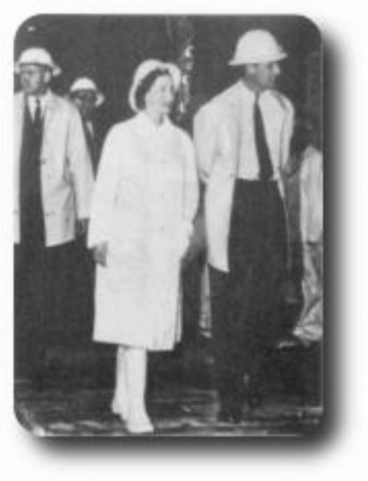
The original lookout was built in about 1961 by the Snowy Mountains Authority and was upgraded for the Queen's visit in 1963. It has since been substantially improved by the National Parks and Wildlife Service with the addition of the viewing platform, landscaping and changes to the car park.
The Scammells used the ridge, which runs north-east, as access for the summer grazing of cattle in areas such as Pretty Plain in the upper reaches of the Tooma River.
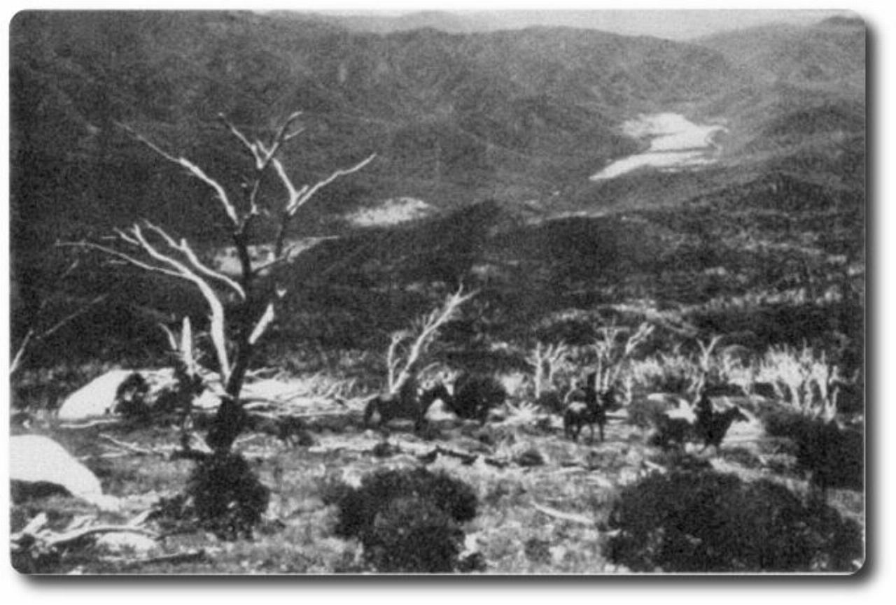
A 1940s photo of riders descending Hannels Spur
The work was organised by Kerry Pierce who was in partnership with Alf Hannel. The route was chosen by Leo Byatt, a well-known local stockman. An area below Abbott Ridge is still marked on maps as Byatts Camp.
The track was about 2.5m wide and the thick scrub on either side kept the stock contained.
According to a stockman who used the track, Errol Scammell, the cattle were reluctant to make the climb.
The track has become overgrown but the route down to Geehi is often used by bushwalkers.
It's hard to read the credits for the photos. The photo of the Queen appears to come from the Snowy Mountains Authority. The other is undecipherable.