After Scammell Spur Lookout I continued along the Alpine Way, stopping at the Murray 1 power station. I watched a video display of some of the construction work for the scheme, and toured the exhibition, before deciding to continue on before lunch.
Next town along the way was Khancoban. On the far side of Khancoban there was another reminder of the drought. There were cattle on the "long paddock" - the verge on the side of the road. There was a sign ahead of them, so I slowed down to an appropriate (i.e. very slow) speed. Which is just as well, as at least one cow decided to cross the road not very far in front of me. A meeting would not have been good for either of us. Sadly, not all drivers are aware of the danger of this type of situation, and at least barrelled past me going far too fast to avoid any incidents.
Shortly thereafter the road to Cabramurra appeared, and off I went. This road crosses Tooma and Tumut Ponds dams, the Tumut end of the Snowy-Tumut section.
Tooma Dam is located on the upper Tooma River, a tributary of the Murray. It is an earth fill dam, constructed between October 1958 and March 1961. The wall, consisting of 1.1 million cubic metres of earth and rock, is 67m high with a crest length of 305m. Water from here feeds into Tumut Ponds Reservoir via a 14km tunnel.
The long unused spillway of Tooma Dam. Just off to the right from this photo is a road bridge which is also the top of the concrete shute to drop the water safely into the river bed below. It's been many a year since there was water in here.
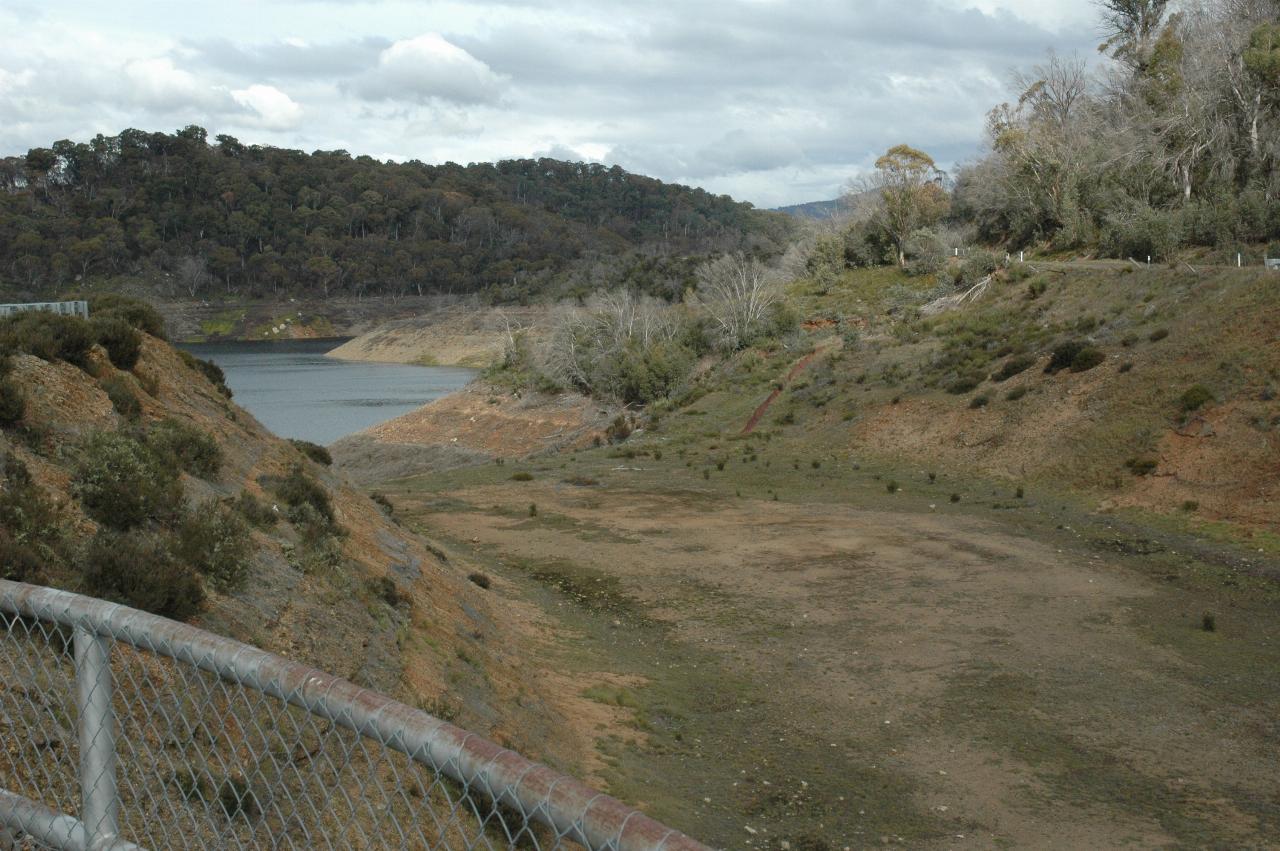
The road descends rather steeply towards Tumut Ponds Dam, which is here seen through the lush vegetation on the side of the hills. Note also the very low water level. Granted, late autumn tends to be the lowest water level time of the year, but this is just depressing. The view is from part way down the hill where there was a location to pull in.
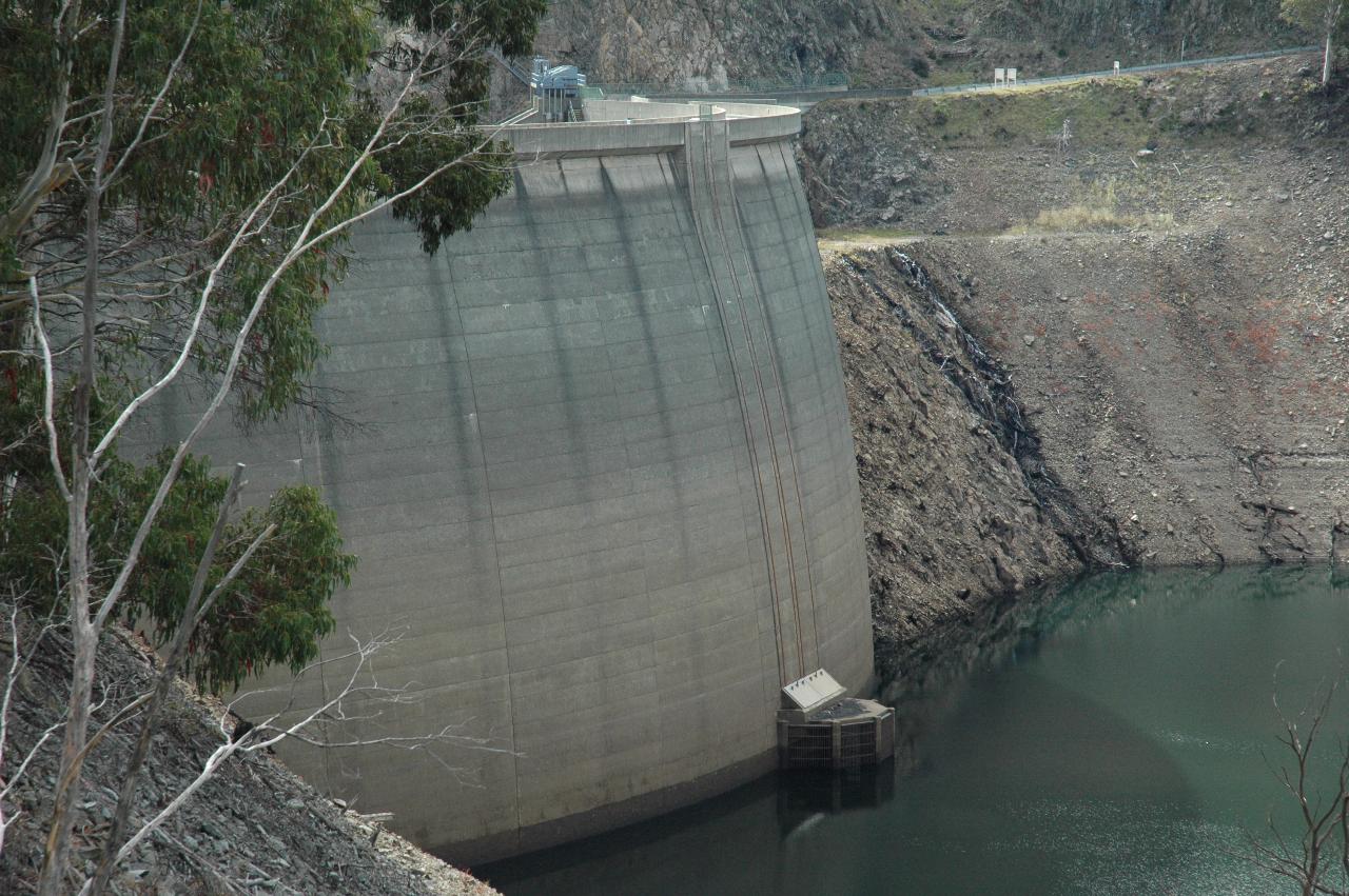
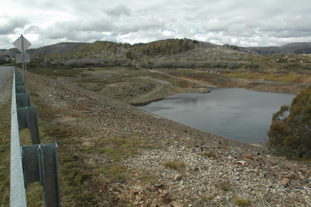
A better view of Tumut Ponds Dam wall - and this is the upstream side. There is a viewing area just before crossing the dam, and the next series of photographs were taken from this location.
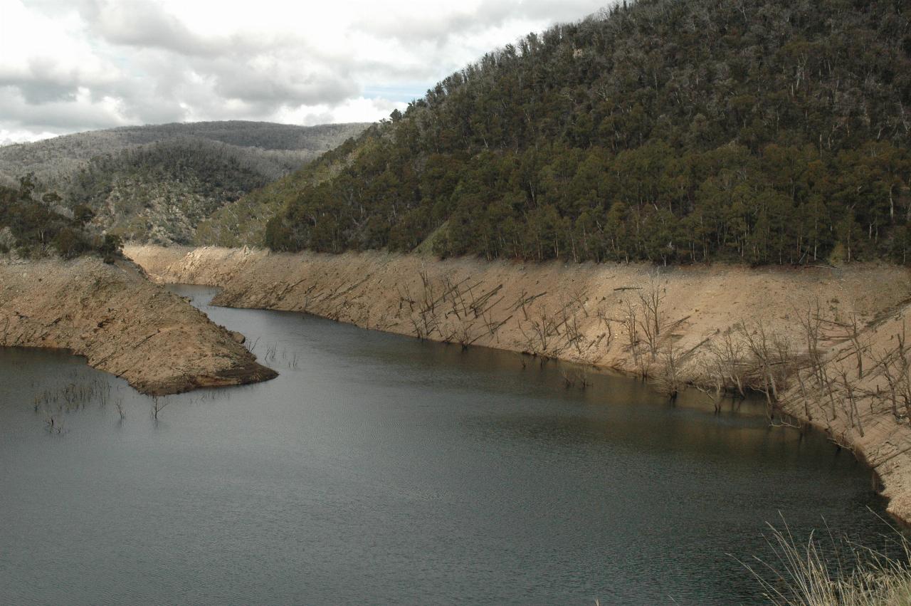
The low water level, looking towards the source of the Tumut River. The road I was on climbs up the hill on the right towards Tooma Dam.
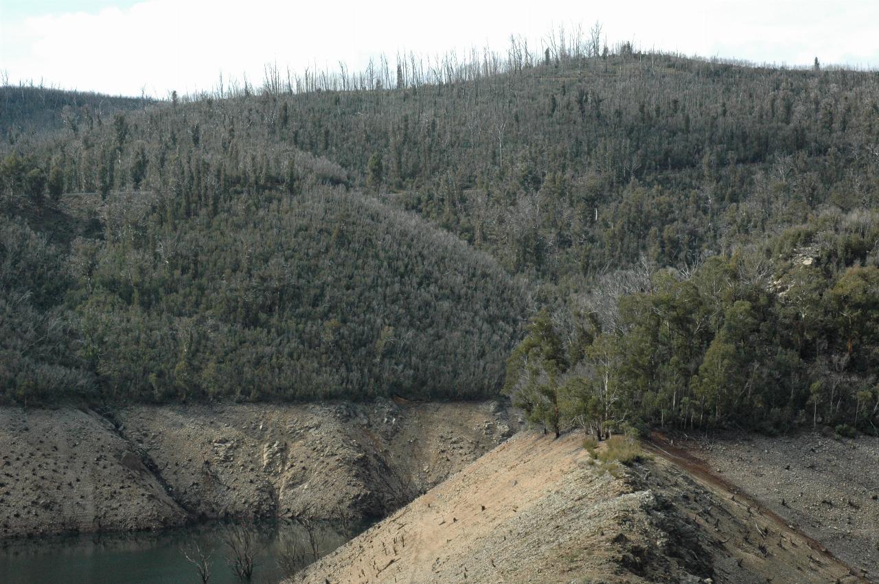
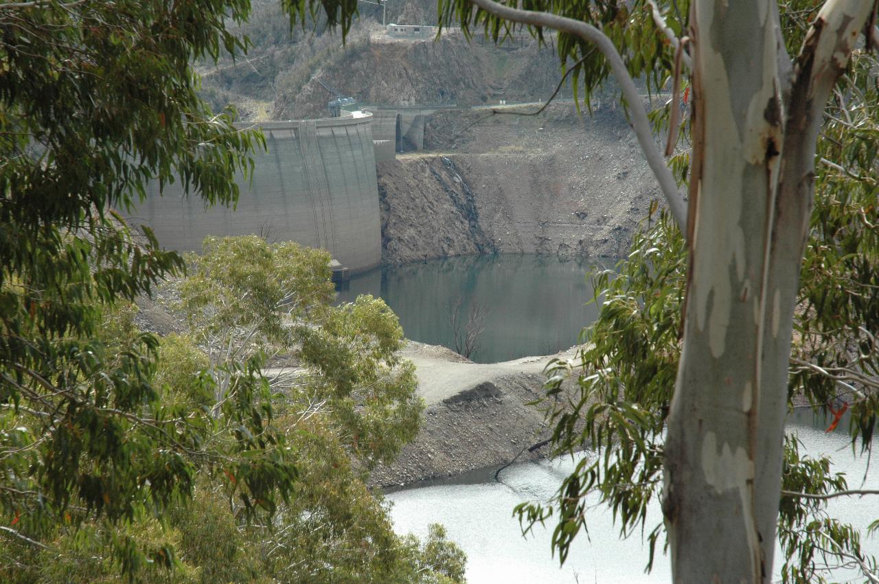
The other side of the dam, and the direction I was headed. Note the tree stumps from (I'm guessing) the 2003 fires - visible on the top of the ridge, but also down to the full water level. These eucalypts are mostly not snowgums, and so are covered in new shoots.
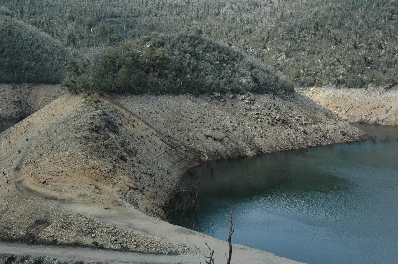
Some of the original construction works are visible in this photo. Possibly exposed for the first time since the dam's initial fill.