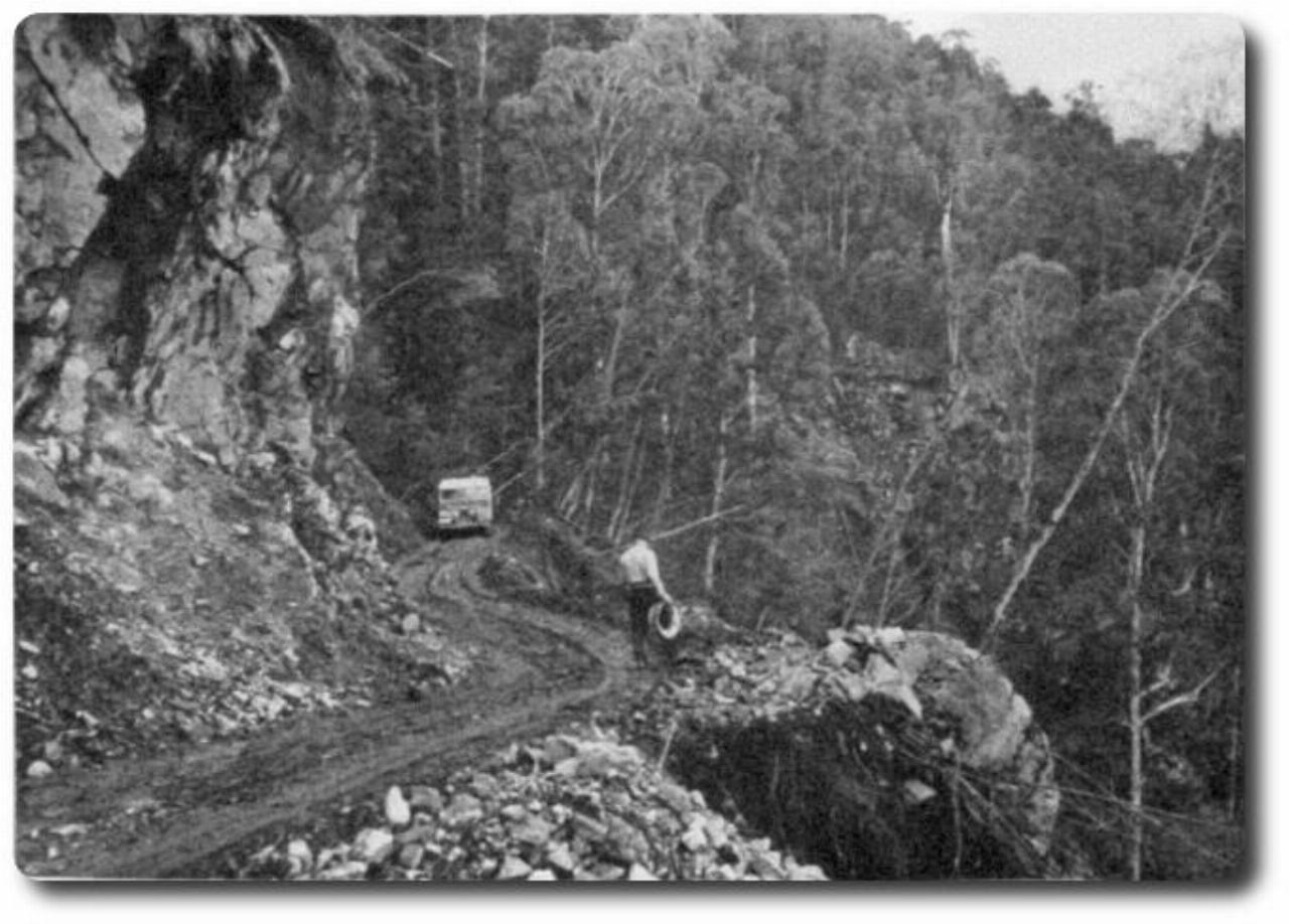
Up to the 1950s access to the Geehi area had been from the west along a rough track which crossed the steep Geehi Walls. This is now the Geehi Fire Trail. A trip from Cooma to Geehi involved travelling through Kiandra, Tumut and Tumbarumba.
In the early 1950s Snowy Mountains Authority teams began moving into the area, extending tracks and setting up work camps. To improve access for its major construction jobs the SMA built a road to link Jindabyne and Khancoban. The section from Dead Horse Gap to Tom Groggin generally followed the old stock routes. The section from Geehi to Khancoban was a new route.
Road construction in the Geehi area, 1953
The road, named the Alpine Way, was opened in 1955. It was handed over to the NSW Government in 1968. The section within the park is maintained by the National Parks and Wildlife Service.
The SMA and some of its contractors for the Snowy Scheme built townships to house their staff working on the larger projects.
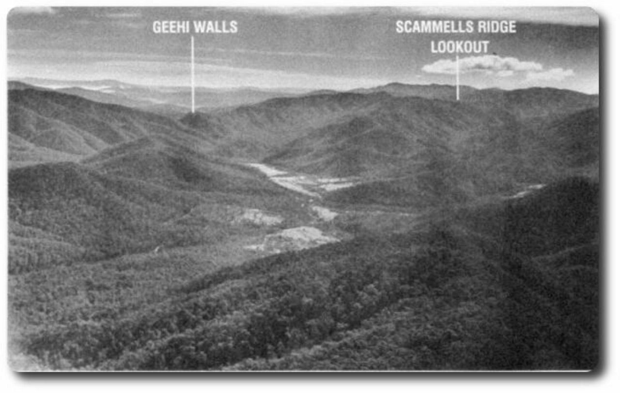
One such township was set up on the Swampy Plain River, just south of its junction with the Geehi. This is the most southerly clearing on the aerial photograph (above) and part of it can be seen from the lookout. The photograph also shows the Geehi landing strip to the north.
The Snowy Scheme brought major changes. Several farms disappeared under Khancoban Pondage and a town was built to house the construction workers for the Murray River end of the scheme. At its peak the population reached 5,000. It is now about 500.
Both photos are from the Snowy Mountains Authority.