Monday, April 30th, was explore Canberra day. I had found a number of places to visit while in Sydney, including the National Archives, National Museum of Australia and Botanical Gardens. But the spirit moved me along somewhat, and so the first spot on the list was the Tidbinbilla Deep Space Communication Complex located within the ACT, but "shielded" from the Canberra's radiation by sitting in a nice, quiet valley.
There were signs along the road indicating this was the way to reach the destination, but then the GPS said turn left here; except there were no signs, and I didn't see a road. I was presuming it would be a sealed road, but I could see no road at all.
I continued on to the Tidbinbilla Nature Reserve, then retraced my steps, figuring that somehow I had missed it. Retracing was not without a certain amount of excitement - kangaroo excitement, that is. Nearing the nature park that the above mentioned busses turned into, I saw three kangaroos hop across the road. KANGAROO ALERT! KANGAROO ALERT! Speed was reduced, and sure enough, a fourth kangaroo popped out of the bushes just in front of the car. We missed, and both went our separate ways.
Again I saw no road at the designated location, but there was a dirt track to a farm gate. Probably not the way to go. Continuing on, the road to Corin Dam comes up, so I take that a little ways before deciding it was not the way to go. Returning to Tidbinbilla Road, turn right to continue the backtracking operation. Surely there must be a sealed road to the telescopes, and the GPS has just chosen the shortest distance route. [And it appears the Australian maps from Garmin do not distinguish between paved and unpaved roads.]
Continuing along, I spy a lookout sign, and decide to turn in there to look at paper maps and see what's happening. It turns out to have been a fortuitous choice of stopping place.
After looking around I read the display board at the lookout, only to discover that I had stumbled across a rather important location in Australian agricultural research.
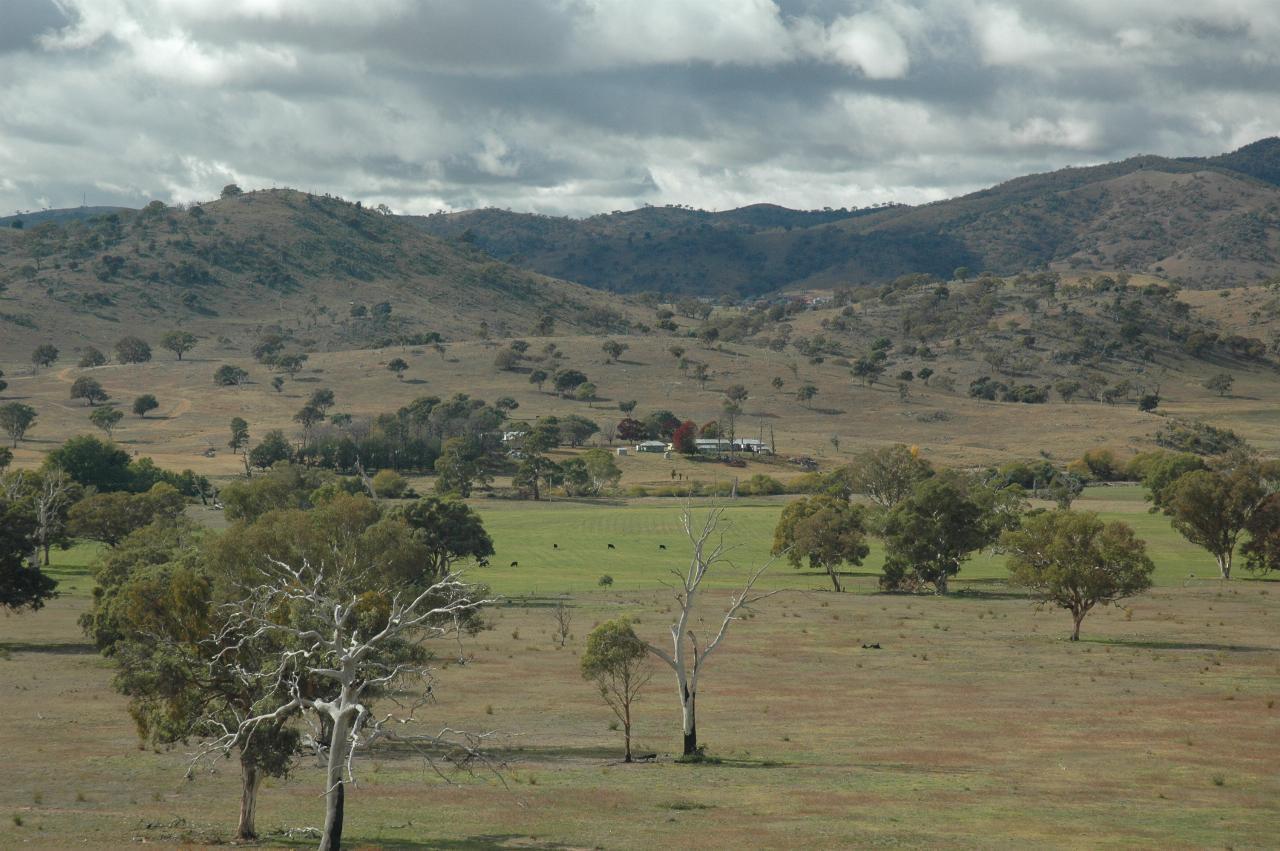
This is Lambrigg Farm where William Farrer did his wheat research in the late 19th and early 20th centuries. And running across the middle of the image (at the 'top' of the green field) is the Murrumbidgee River, which rises in the Snowy Mountains to eventually join the Murray River between Swan Hill and Mildura.
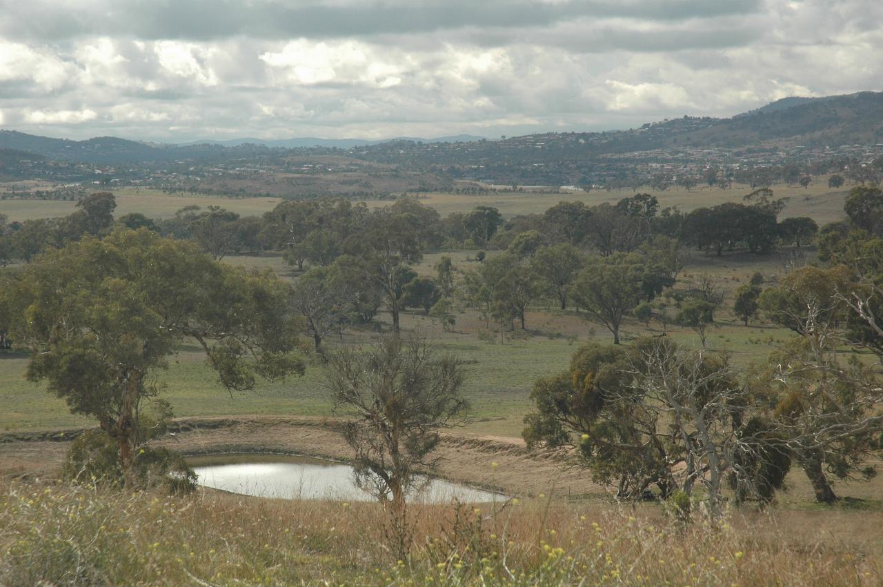
Looking a little to the left of the above photo, showing the low dam level, even after rain the previous day. And in the distance, Canberra suburbs are starting to sprout.
A wider angle view of Lambrigg, with (not really visible) the encroaching Canberra on the far left.
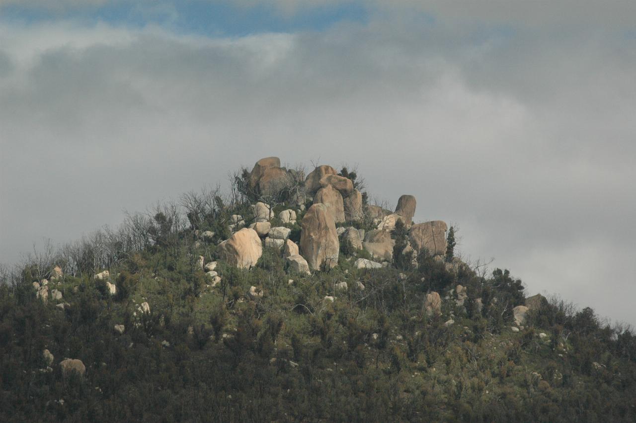
Facing the opposite direction is a view of Castle Hill, or so I suspect. It has a trig marker on the top, and is indicated on the map I have as being in about the correct location. This is looking roughly west on a compass.
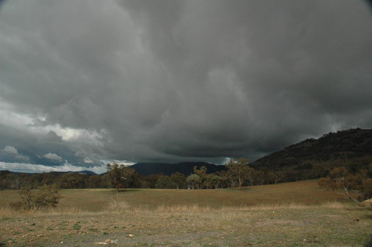
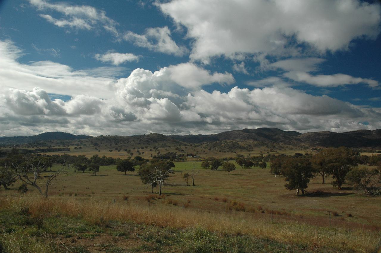
Looking south shows some ominous clouds. While rain would have been really nice, these did not produce any. At least not around here.
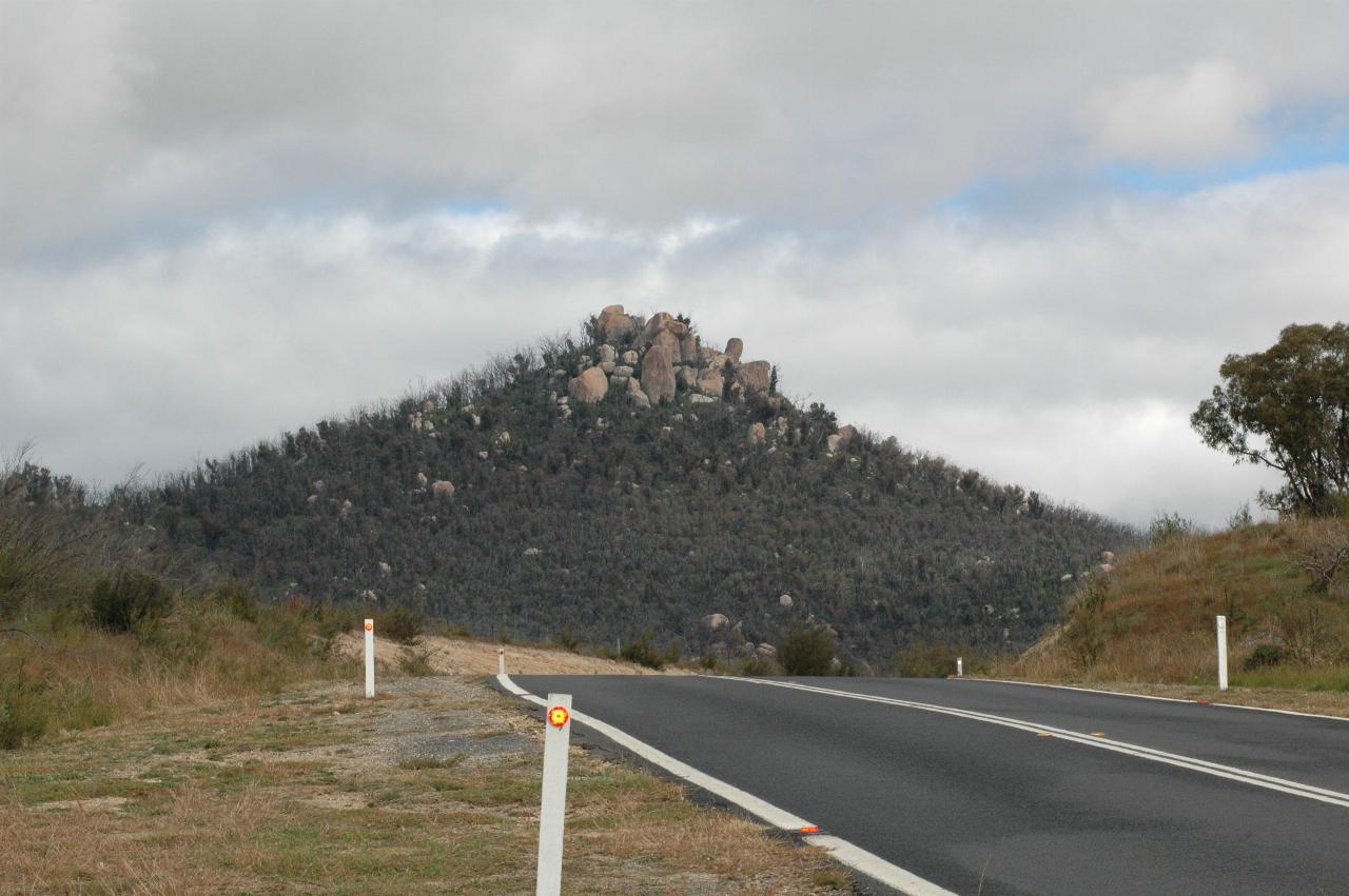
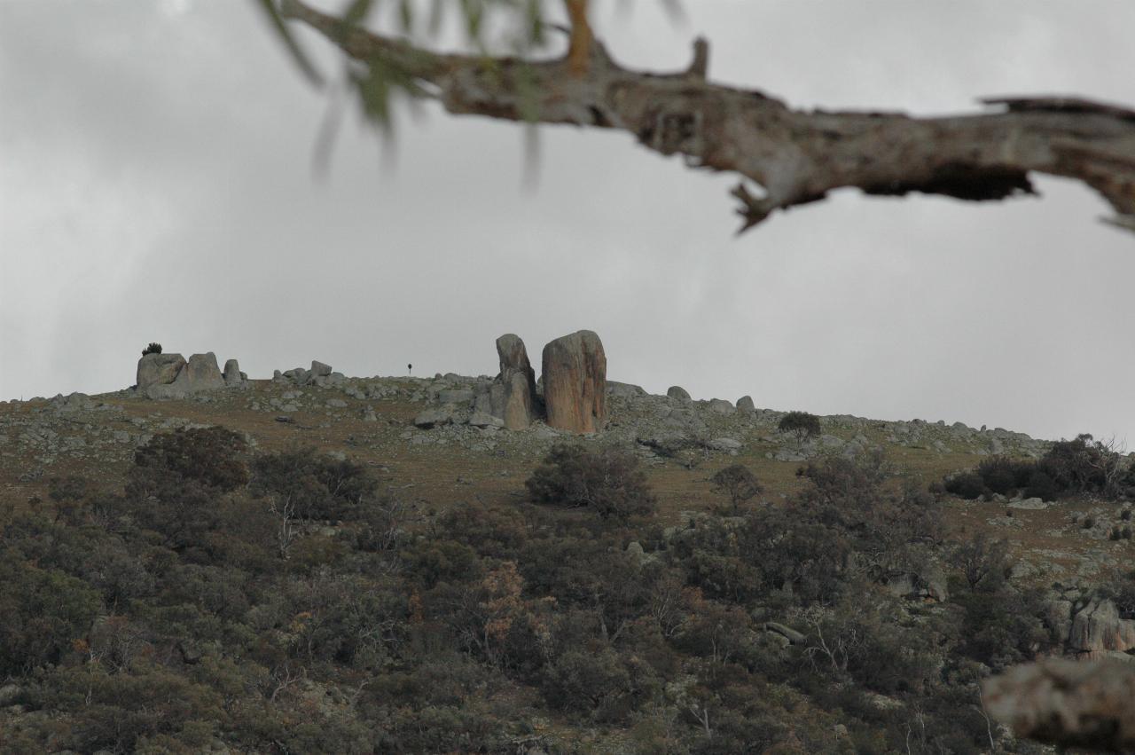
Most of the hills in this area feature these rocks. As I am not a geologist, I don't know what that signifies. This photograph was taken near the junction of Corin Dam road with Tidbinbilla Road, north of the above lookout.
On past the kangaroo encounter sight - being very careful - and eventually the sign to the Tidbinbilla station appears.