We hopped on our tour bus with our faithful driver Gaston and headed roughly east of Montreal to the Richelieu Valley, wherein the Richelieu River runs approximately North to meet the St. Lawrence River a few kilometres downstream from Montreal. The history of this area, and some details of it's geography explains the significance of the area.
Our first destination is Fort Chambly National Historic Site not too surprisingly located near the town of Chambly, a mere 22km from Montreal.
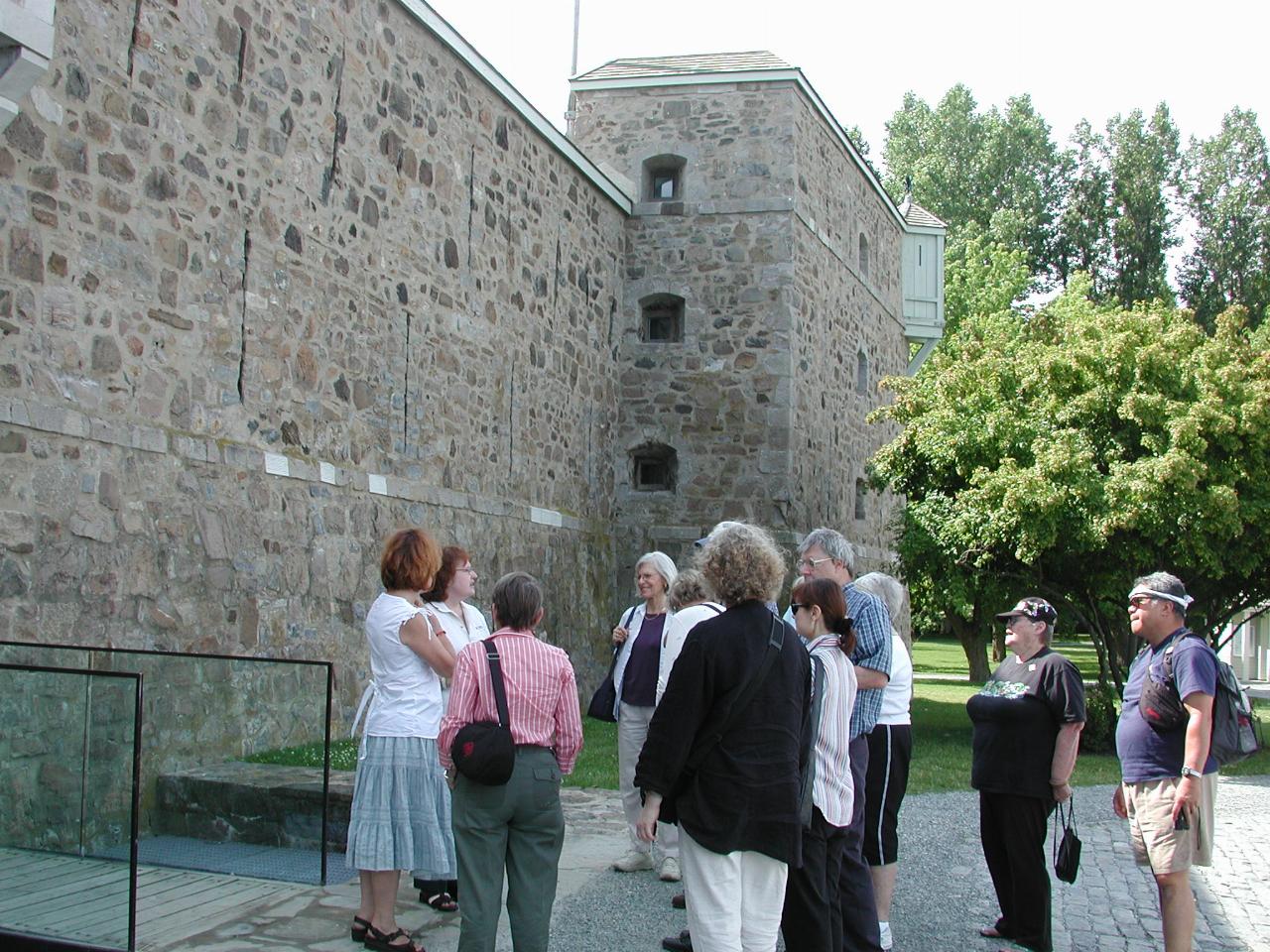
Lise with our group introducing the guide who will show us around the fort. Remember this is the fouth fort at this location. It's current good condition is due largely to the efforts of Joseph-Octave Dion (1838-1916), who was born in Chambly, but lived many years in Montreal as a newspaper editor. He returned to Chambly, and was devoted to restoring the fort, which had suffered from many years of neglect.
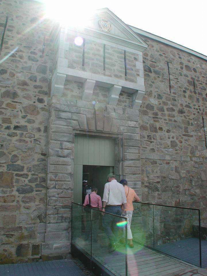
The British would have enjoyed such an easy entry!
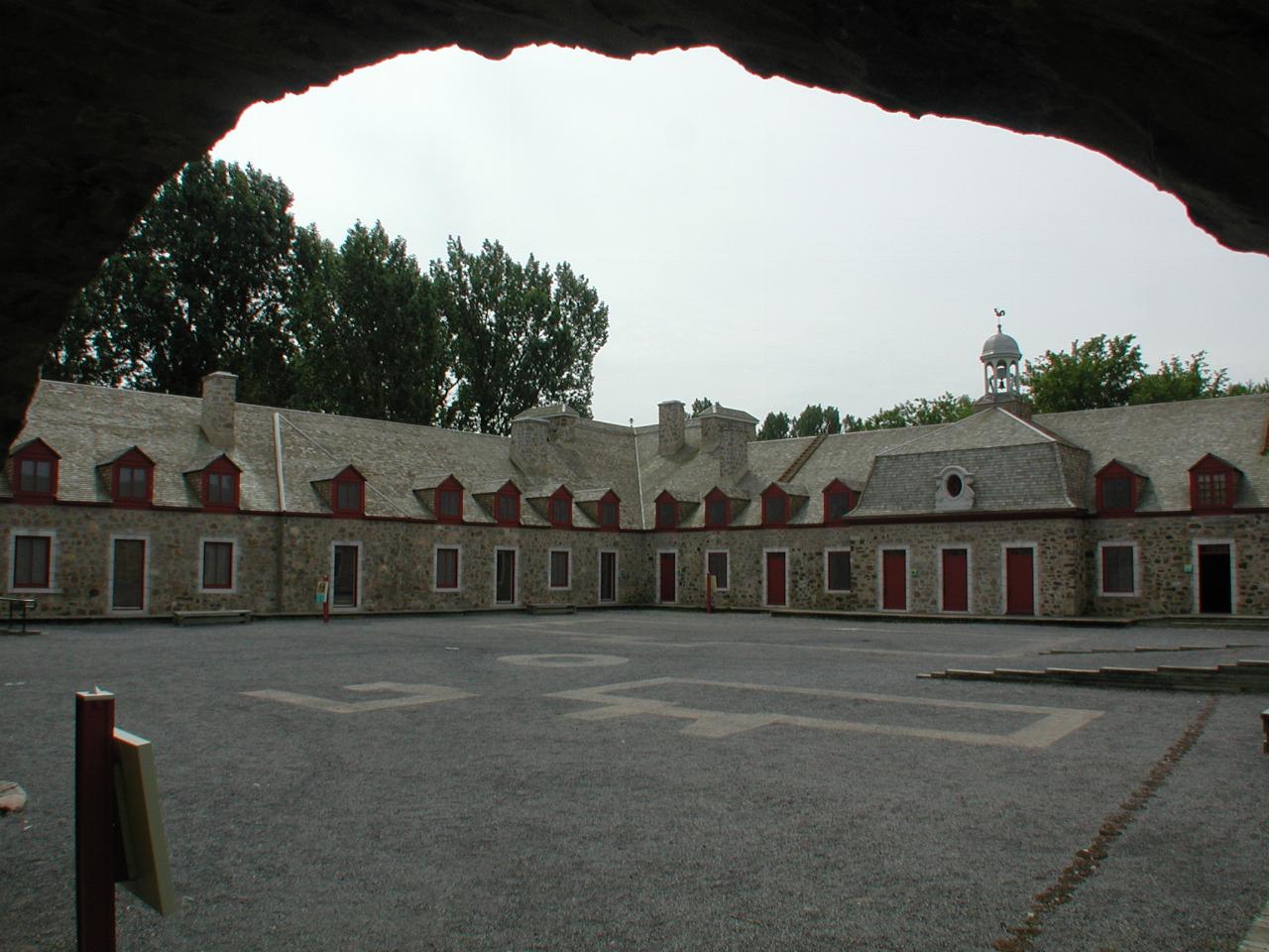
The main courtyard. The maps used in the history page are located to the right of this image. The main entrance is at the top of the ramp coming in from the right hand side. The buildings shown in this photo now house a museum, some of which is shown below.
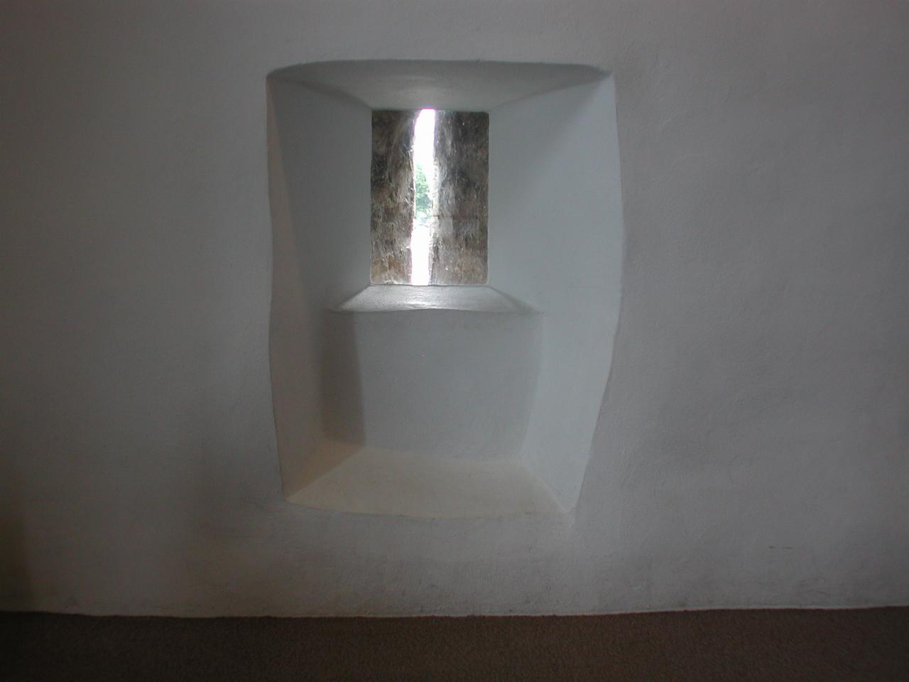
One of the slits used for defence; it's easy to fire out through the slot, but much harder for an attacker to land a shot through the hole.
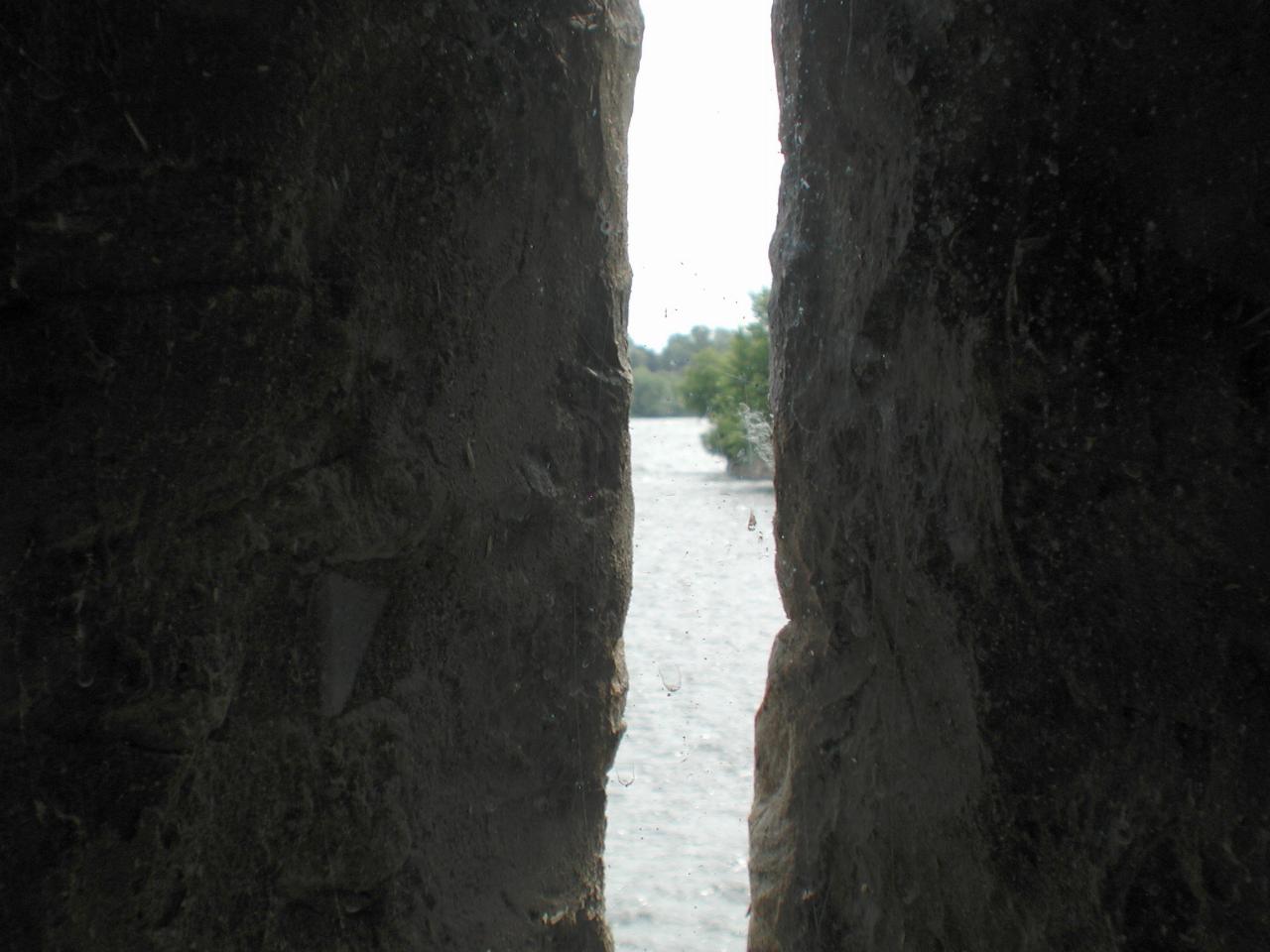
The view out of the above slot. Note that it has an excellent view up the river, making it difficult to sneak past without being seen. And attacked.
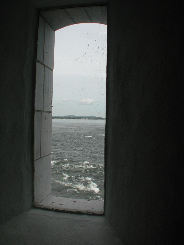
The Cinemascope window. I don't know if this is an original, which would seem to defeat the purpose of the slots, but perhaps they had a way of securing such a large opening against attack.
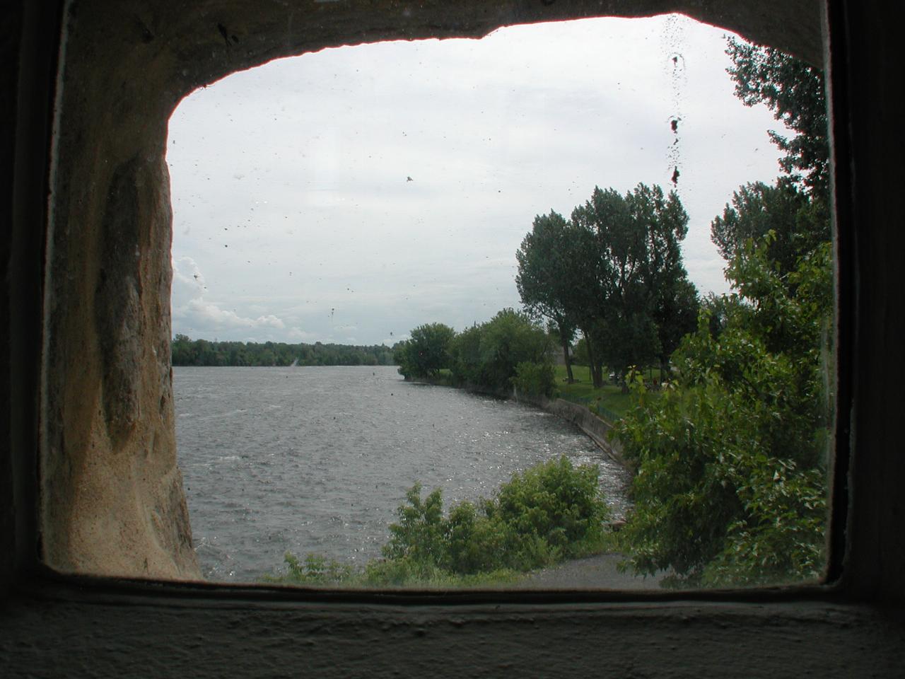
This looks like a modern addition. It's the view downstream over the rapids, which make this such a strategic location; navigating over/around them would be hard, and probably slow going, making any enemy trying to do so an easy target.
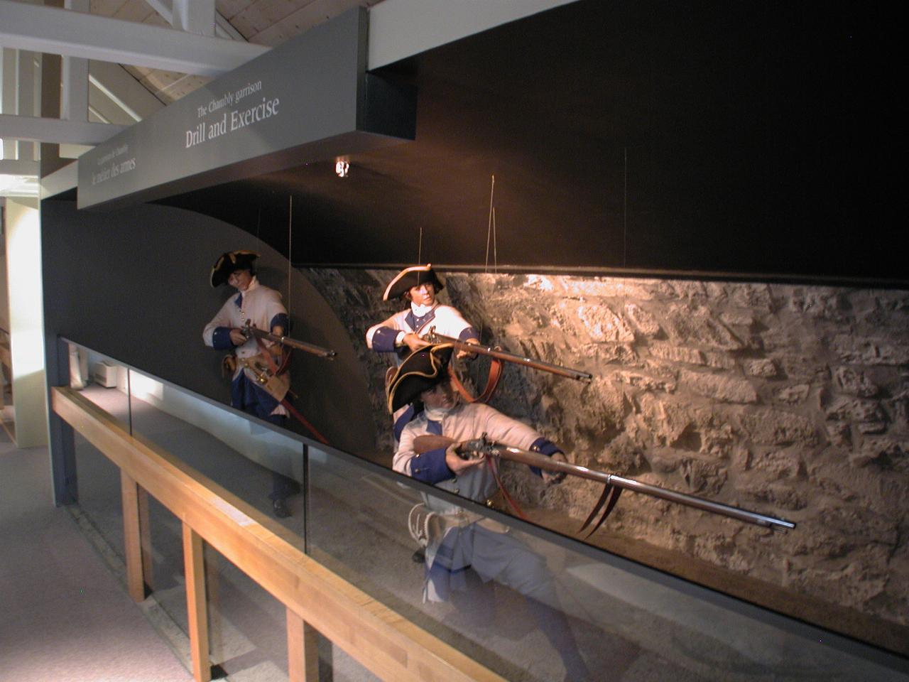
Part of the history display. Note the really l-o-o-o-o-n-g rifles!
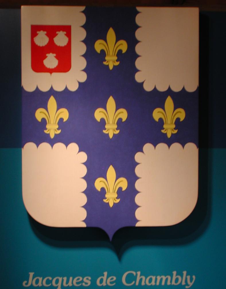
The Chambly coat of arms. The caption says thus:
Jacques De Chambly came to Canada in 1665 as a captain in the Carignan-Salieres regiment. He supervised the construction of Fort Saint-Louis, the first wooden fort built here.
In 1670 he bought in settlers and began clearing the land around the fort. Two years later he was given the seigneury which now bears his name.
He did not stay here long. He was named governor of Acadia, of Grenada and finally of Martinique where he died in 1687, leaving no descendants.