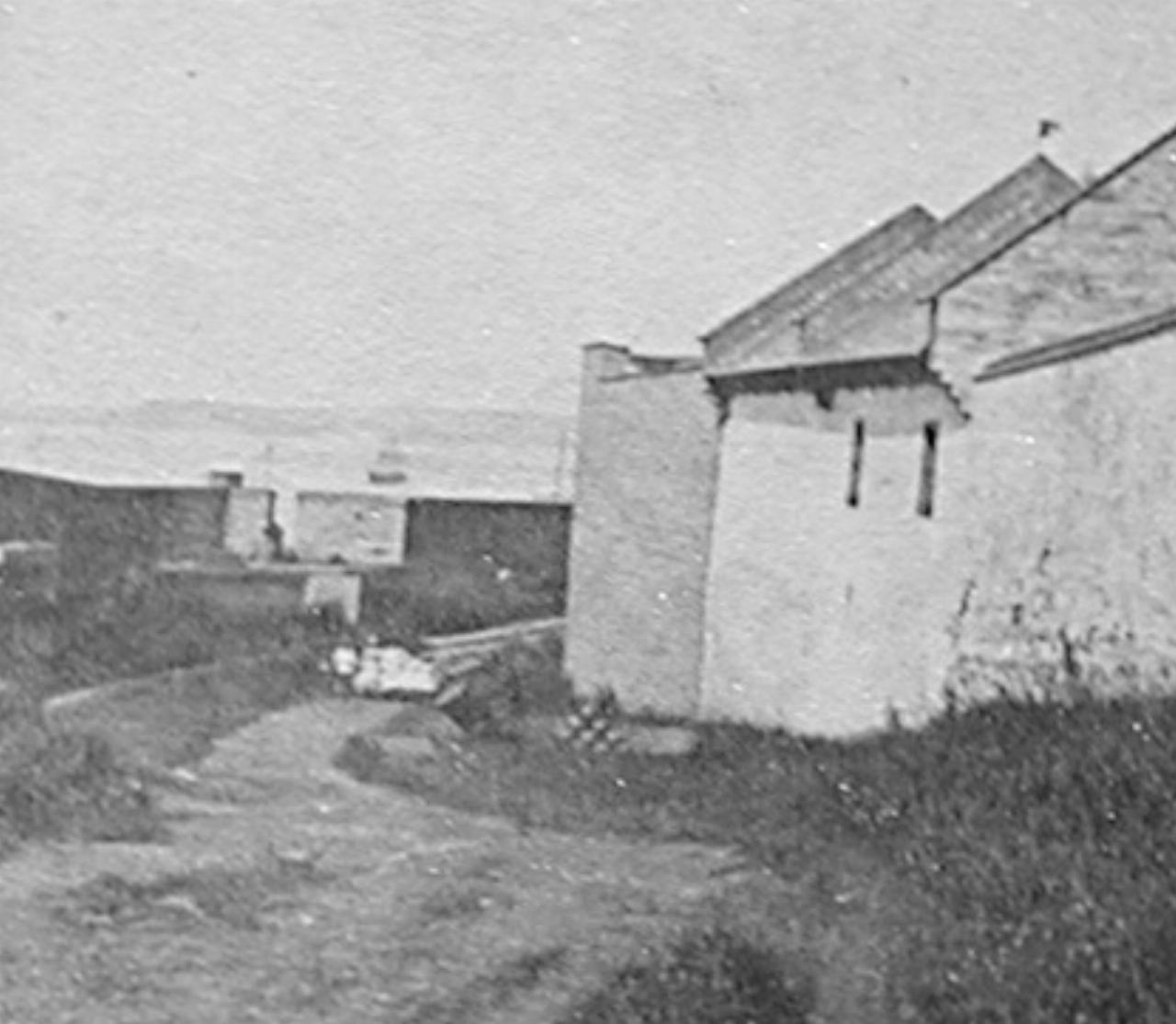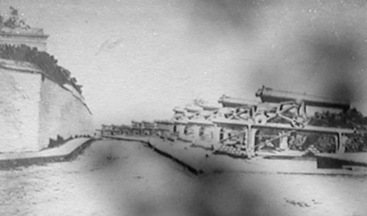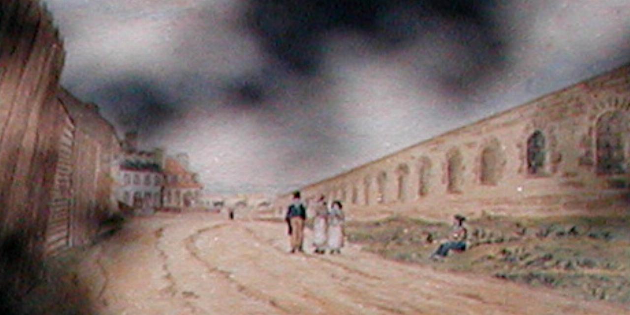
Text and photos on the display board at the old ramparts. Note that the sign was partly shaded by a tree, hence the dark areas on some of the photos.
It was customary, in fortified cities of the 17th and 18th centuries, to have a road running around the inside of the walls, used for troop movements and for supplying the artillery.
Alongside the rue des Remparts runs the last section of the fortifications, built between 1790 and 1810 at the top of the steep escarpment, completing the circle of walls and controlling access to the city. Loopholes were provided for musketfire and batteries of cannon completed the defensive armament. The especially impressive Grand Battery, located near the Quebec Seminary, was formerly known as the "Clergy Battery".
Although at some places the street level has been raised or the wall lowered, the road follows its original winding path.

The rue des Remparts near the gardens of the Hotel-Dieu (hospital). J. G. Parks, 1865 Notman photo archives, McCord Museum of Canadian History

The Grand Battery, circa 1870. Inventaire des biens culturels.

The rue des Remparts, J. P. Cockburn, 1829. Royal Ontario Museum.