At dinner on Thursday night, Bruno suggested we head south for some nice roads, so that was the direction for today. We headed to Milan, followed the ring road to get around the city then headed south towards Pavia and then found our way across the River Po to Casteggio. Up to this point we had been on roads ranging from busy to freeway. At Casteggio we wandered onto some back roads, enjoying the riding and the scenery. We rode through a little town with a nice looking restaurant, and stopped. A quick discussion, a U Turn and we had found lunch at...
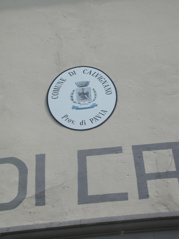
Yes, the community of Calvignano, located at N44 58.965, E9 10.123, and elevation of 268m (according to my GPS).
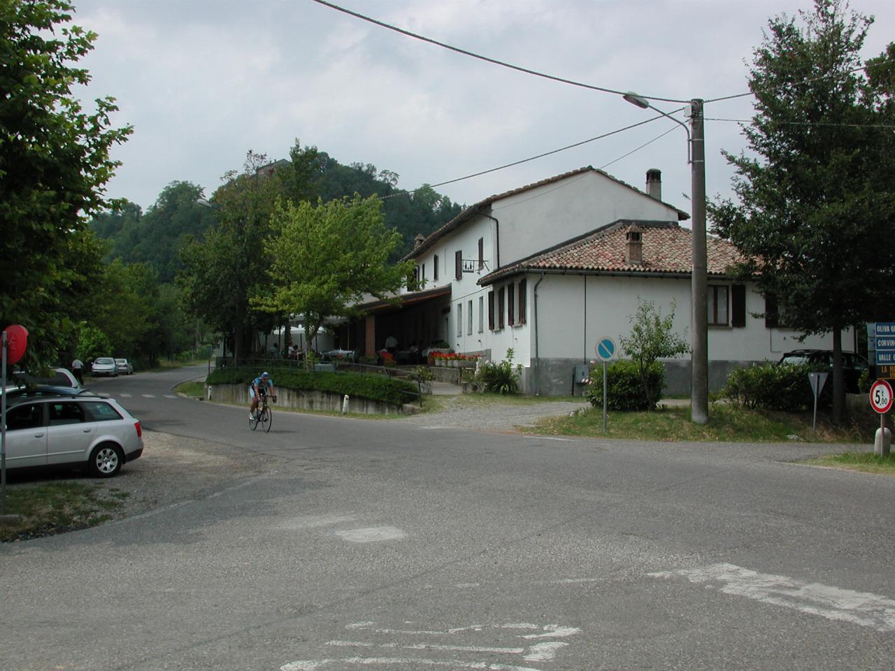
The restaurant. I suspect there's only one in this town, as it's quite small. Ah, but the food was great. And, of course, we ended up having quite a bit more than a "light lunch".
Looking up along the main street; that's Jon in the middle of the picture, again patiently waiting for the photographer to finish.
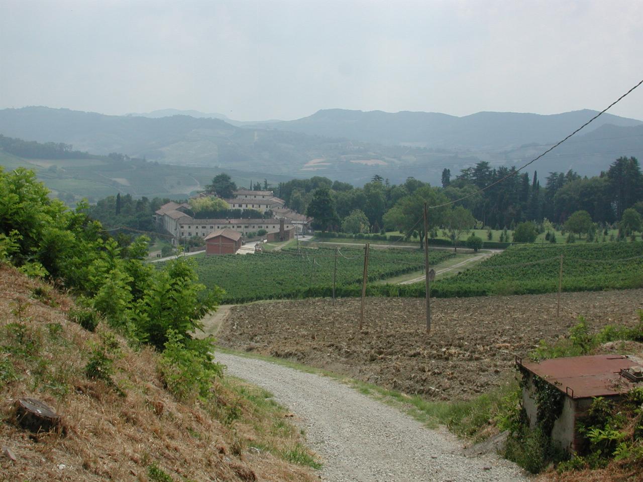
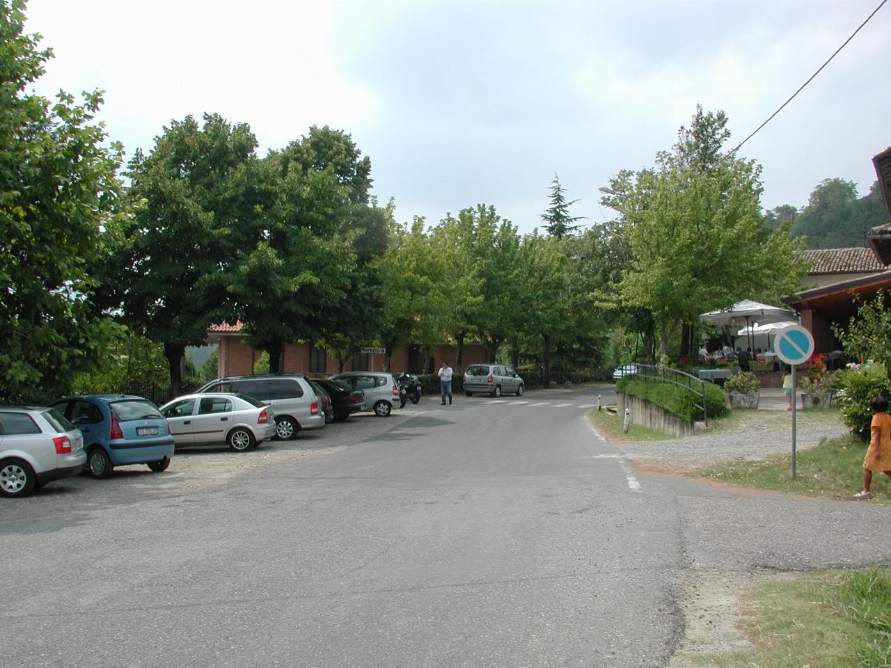
Looking roughly south from the main street. I have no idea what the building is down there; there are grape vines there, but the buildings seem to be rather large for a winery.
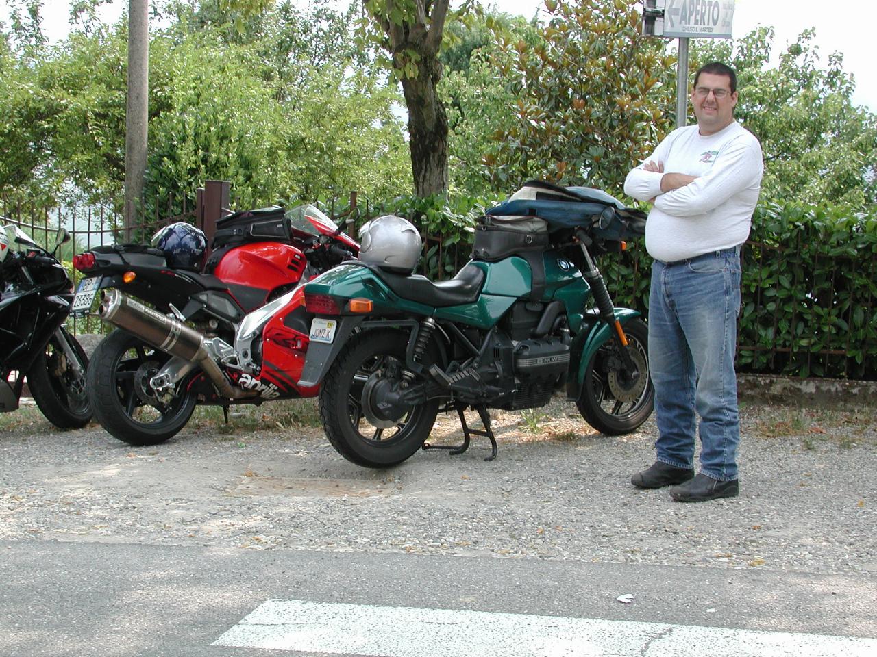
Jon beside his trusty K75 still waiting patiently for the photographer :-(
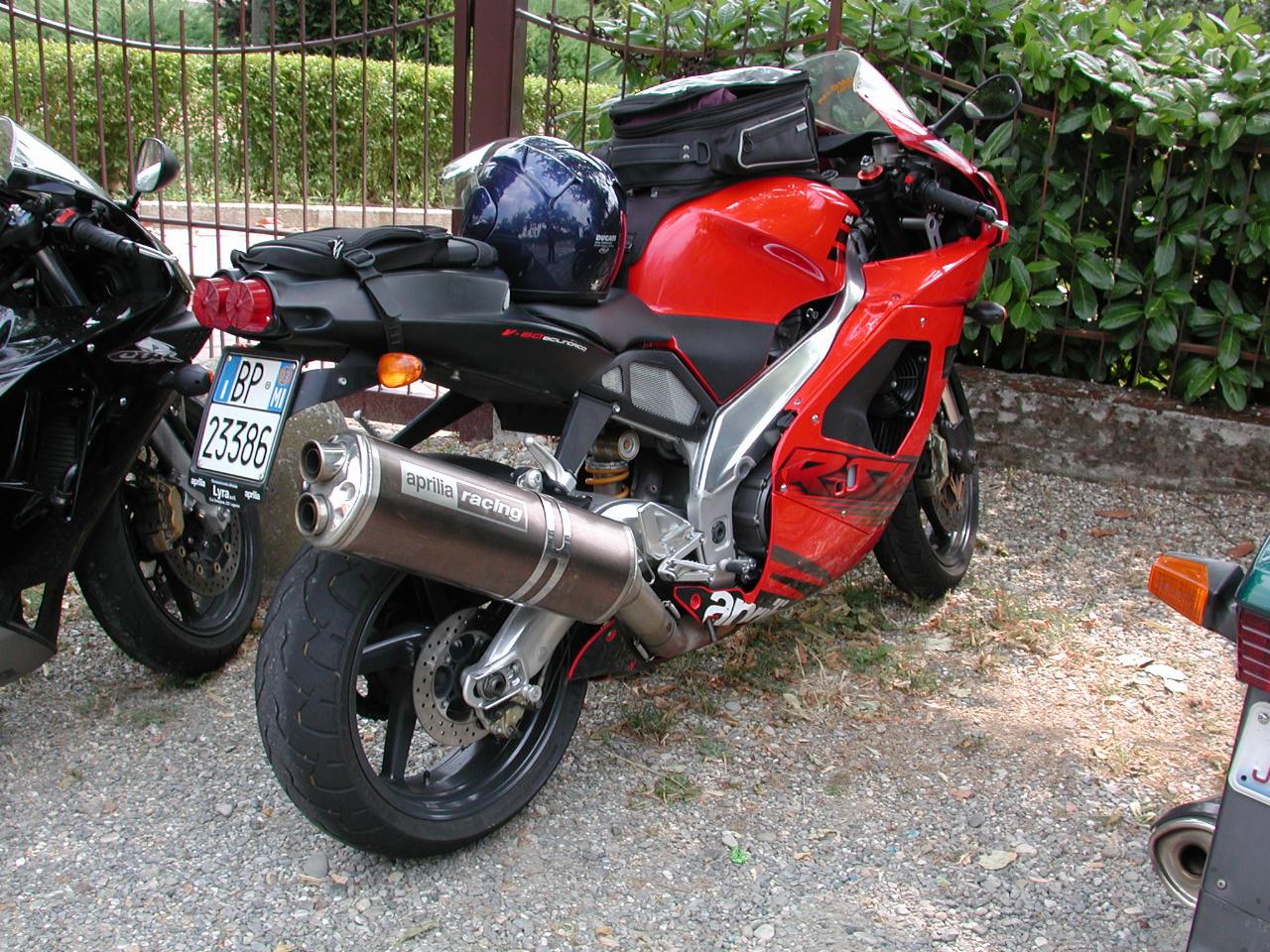
A better view of the Aprilia I was riding.
From here we followed random roads around the area. I had no real idea where we were going, and I suspect Jon wasn't that much more aware, although he had a map. Although I loaded maps into my GPS, it's limited memory meant I had a limited choice, so loaded mostly north of Milan. My GPS ran out of detailed map well before Calvignano! But whatever the situation, it was a very enjoyable riding area. I think then we deliberately headed to a specific mountain pass, and eventually ended up at ...
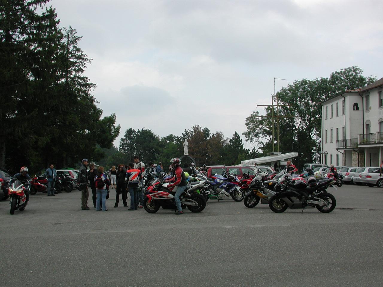
The parking area at the top. You may notice a statue in the middle of the image - I thought this might have been a shrine of some sort, but all I could get from Google was the ski area!
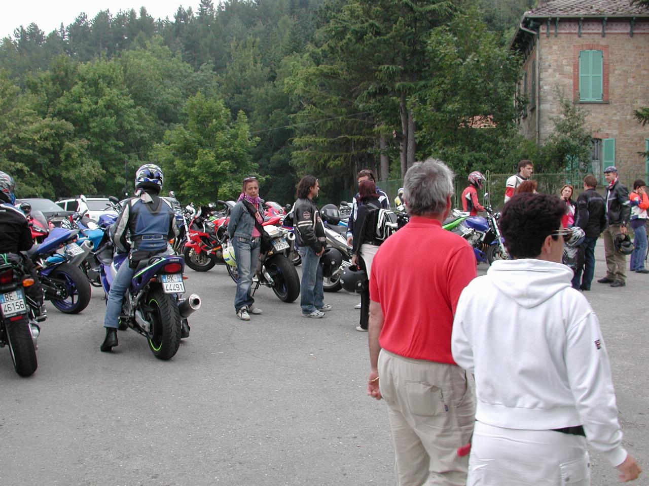
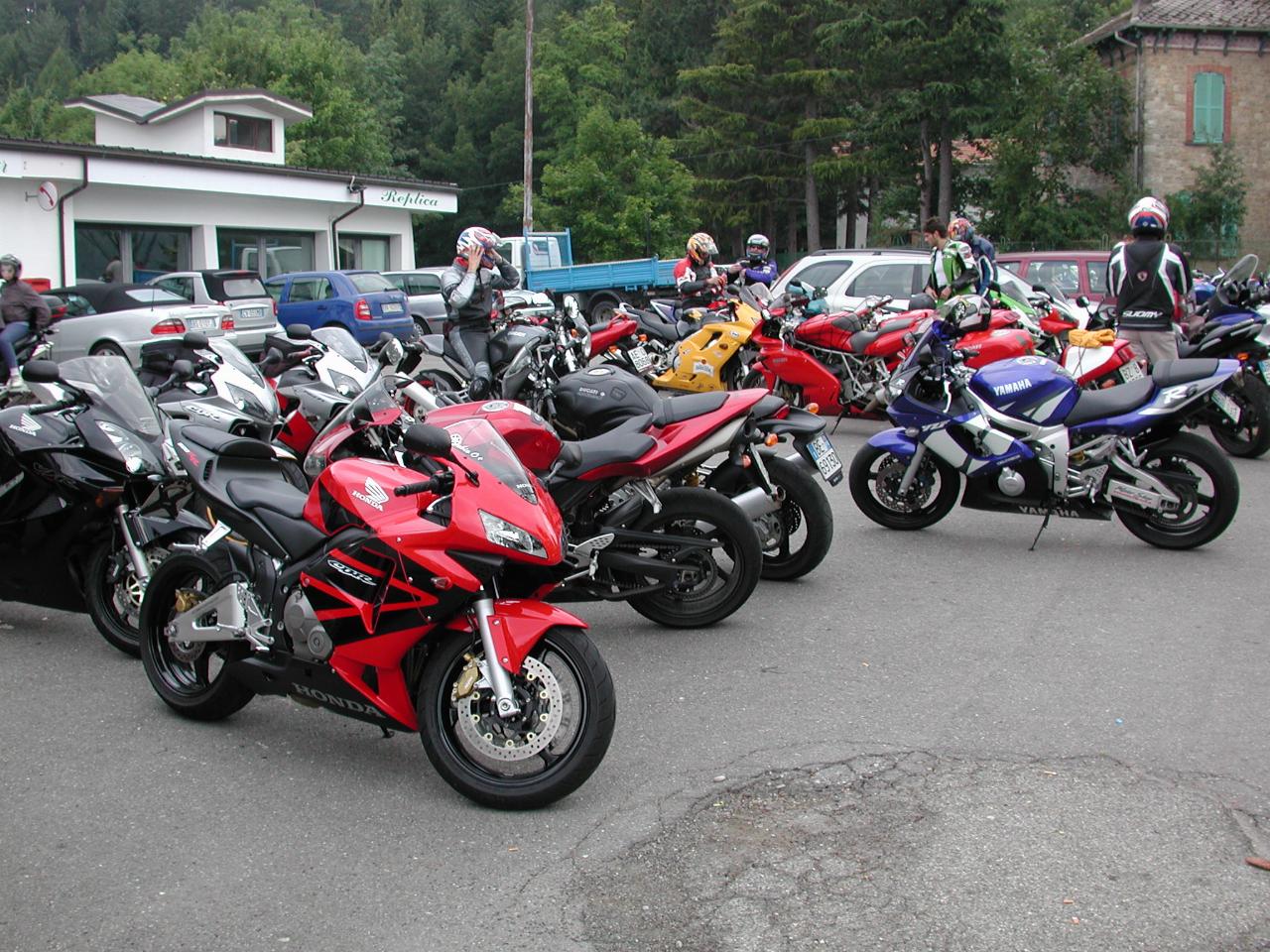
The above views show some of the bikes in the parking lot. It's quite a biker hangout, and with good reason - all roads leading here are twisty! Oh, and the scenery is not too bad either.
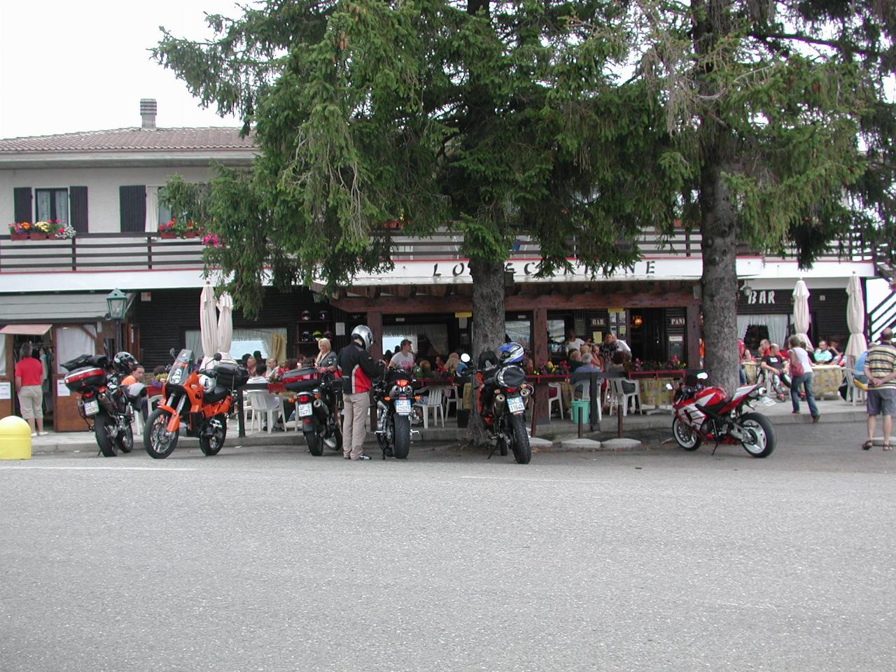
And, of course, there's food - this is one of two restaurants. Since we'd already filled up, we managed to avoid the temptation.
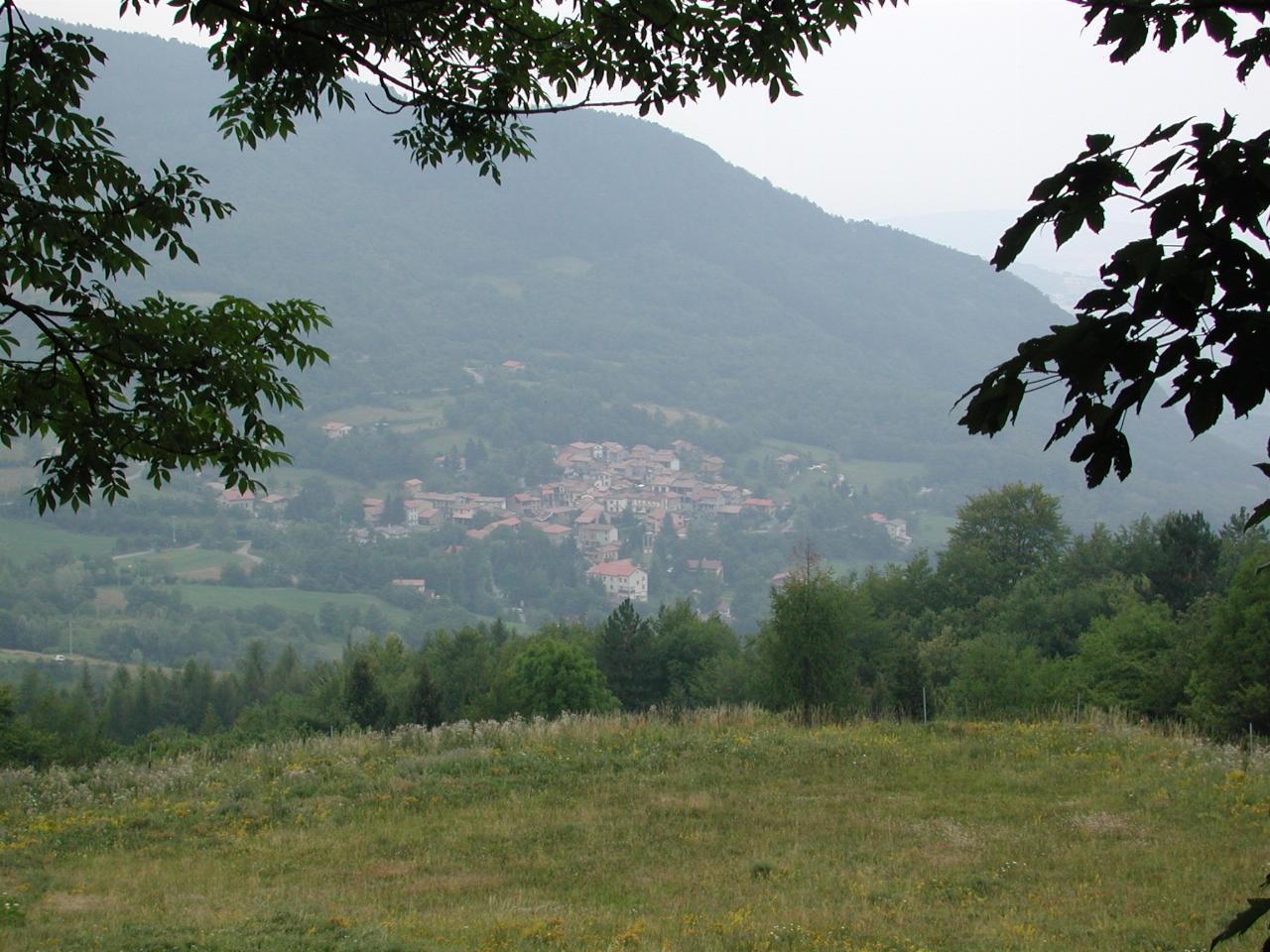
One of the many little towns in the hills south of the River Po. The elevation here is 1148m (according to GPS), which explains why it's also a ski area.
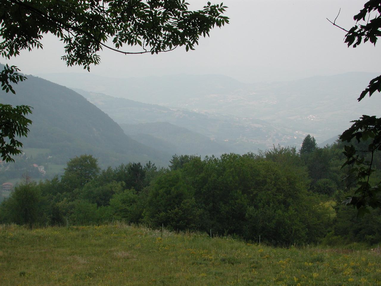
Another view from the top, but mostly showing how hazy the atmosphere was. Sadly this was true for most of my time here. The first night in Monza showed the Dolomites very clearly; I didn't take a photo figuring it would be like that again. Alas, the view of the mountains was almost non-existant from then on.
It was all down hill from here! We enjoyed some more mountain roads before more or less retracing our steps back to Monza. And once "home", it was another relaxing evening watching the sun go down.