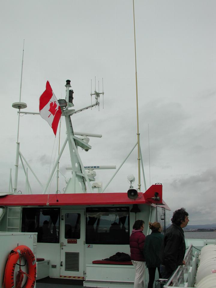
The weather was somewhat overcast and gloomy, although not unpleasant, as we headed up north from Sidney, with the day's destination being Port Hardy, which is just about the northern end of civilisation on Vancouver Island.

Whilst in foreign waters, it is traditional to fly that nation's flag, in this case the Canadian Maple Leaf. The US flag was still showing on the stern, however.
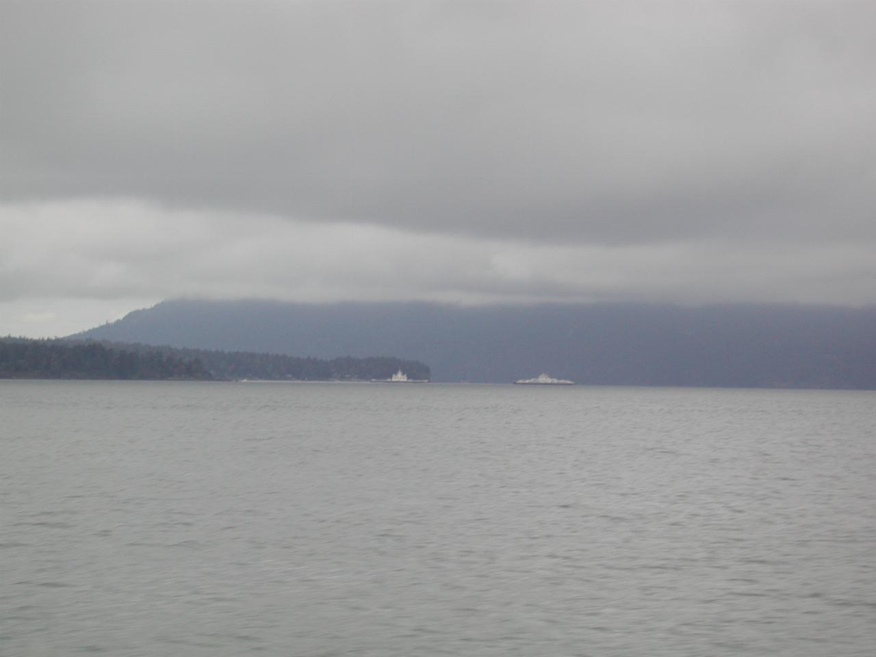
There are a number of ferry services connecting Vancouver Island to the mainland. Both Sidney and Victoria are south of Vancouver, with the closest island city being Nanaimo, which is the destination of Vancouver ferries. This ferry is leaving Sidney. A number of ferry services are to the islands located between Vancouver Island and the BC mainland.
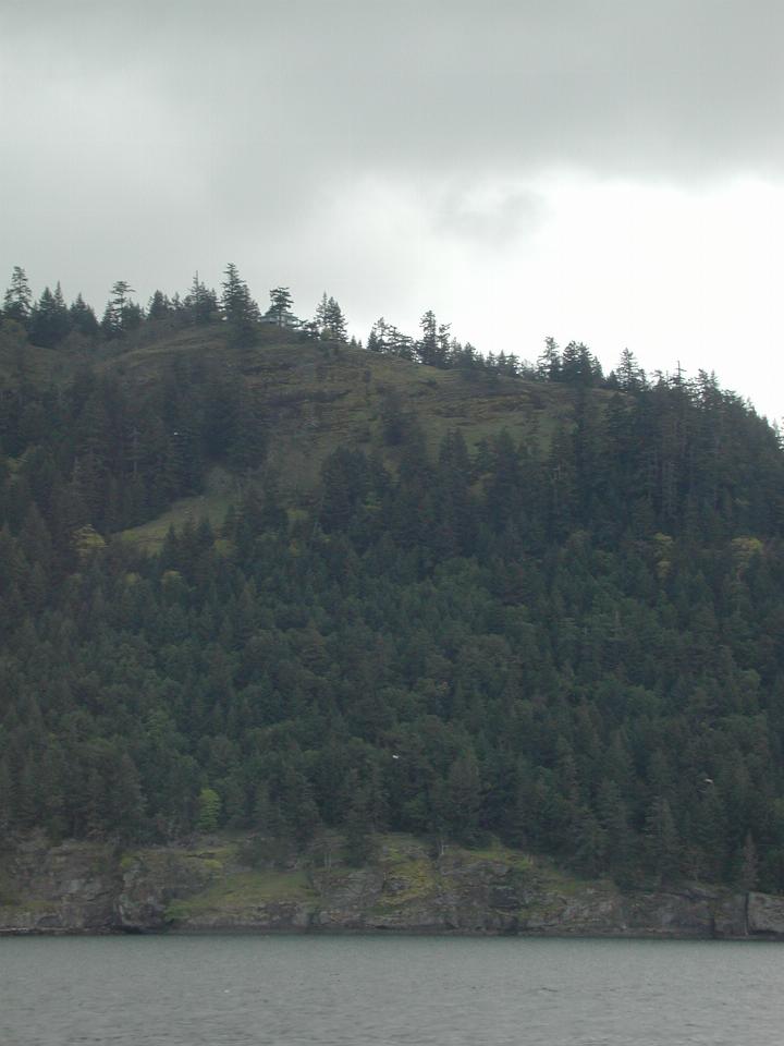
One of the many islands east of Vancouver Island. There is a rather isolated house on the ridge, slightly left of centre. Here's a closeup of it!
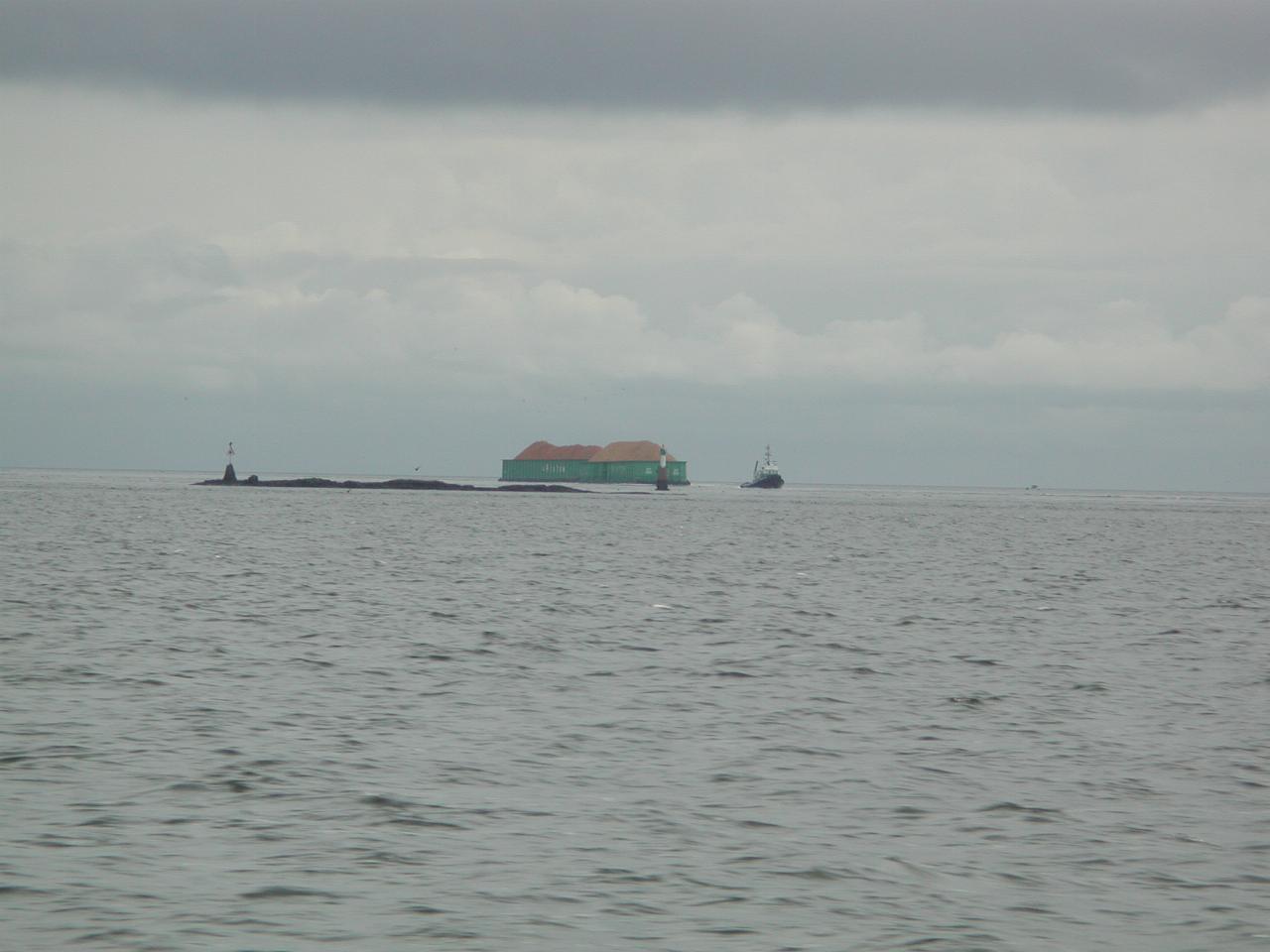
Barge traffic, most likely coming from Vancouver to Vancouver Island.
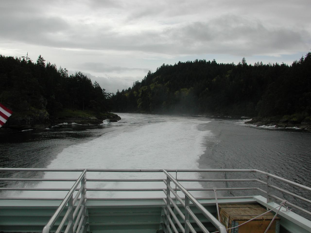
We sailed between Gabriola Island (left) and Vancouver Island. This is a fairly narrow passage located near the northern end of Gabriola Island. This location is just a little south of Nanaimo.
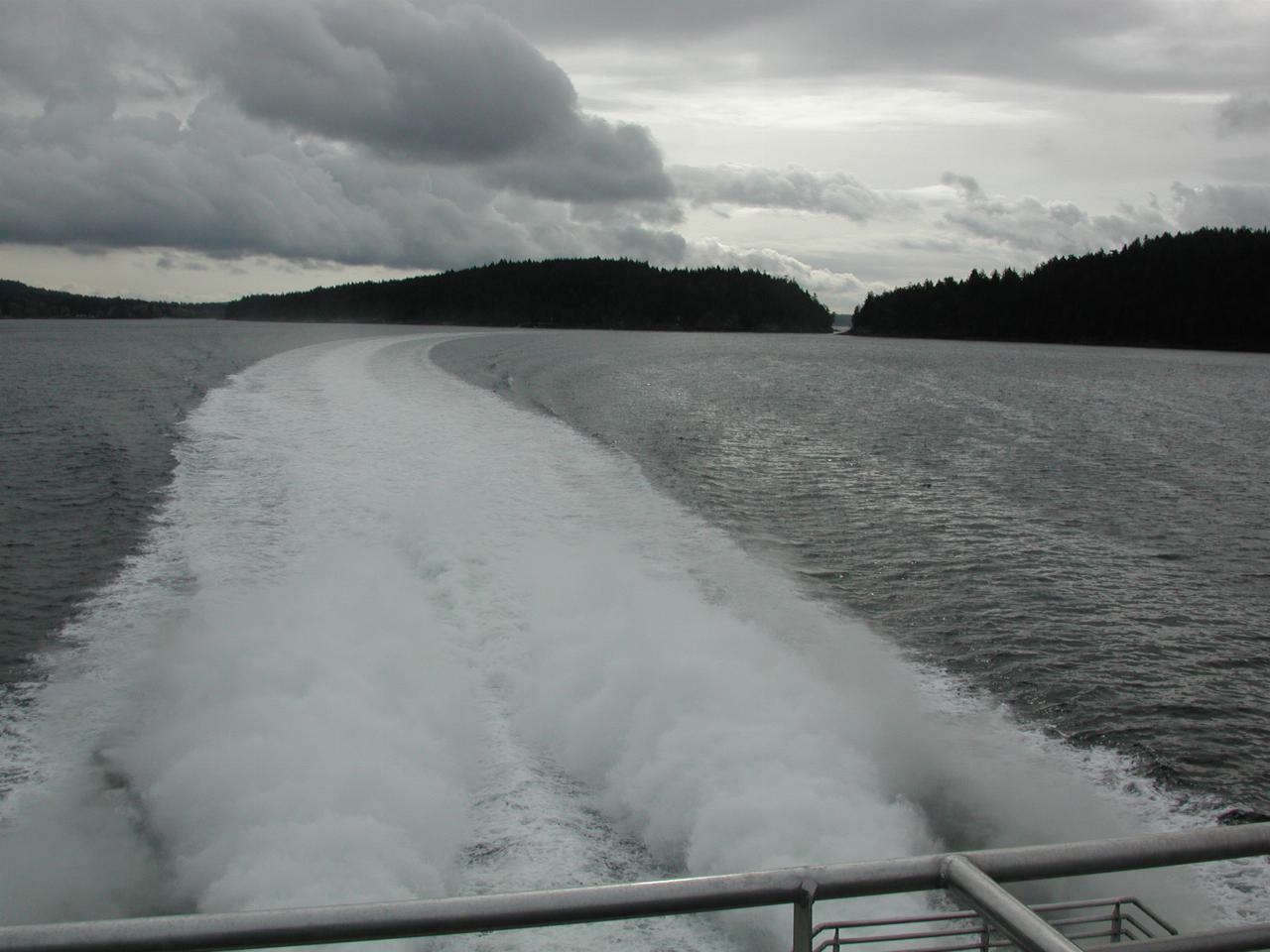
Not a very wide passage! And we didn't slow down much to go through there, either.
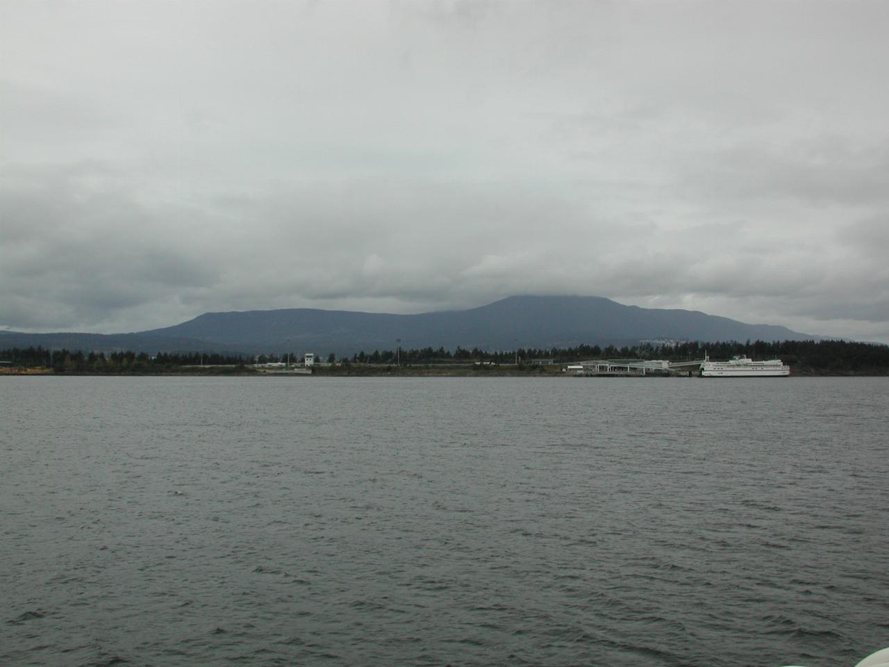
The BC Ferry terminal at Nanaimo.
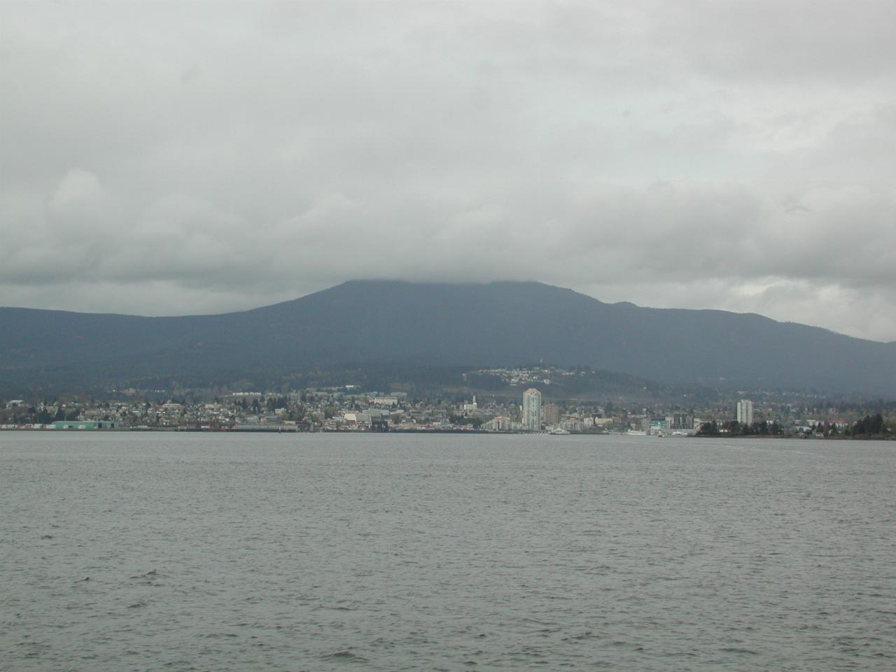
The city of Nanaimo or, at least, much of that which is visible from the water.