Adelaide I

A frame church, cross and people out the front

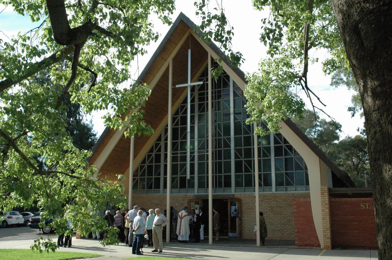
Sunday morning, and first stop was Mass at St. John Vianney, Burnley.

Then off into the CBD, and parked up near the City of Adelaide Golf Club, on Strangeways Terrace. This is near the Colonel Light statue, and a good starting point for a day walking around the Torrens precinct and the CBD.

Colonel Light Statue

Man on statue, right arm raised, finger points towards Adelaide CBD

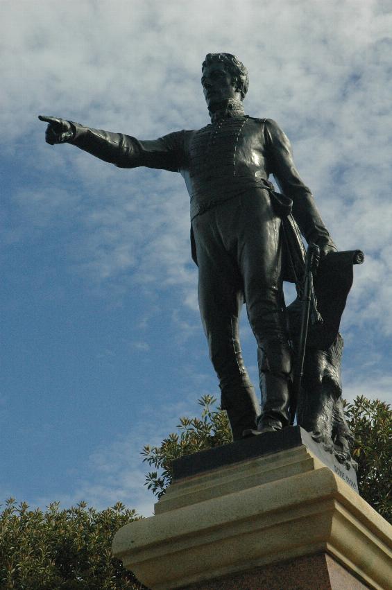
A plaque on the column states:

Colonel William Light
First Surveyor General fixed the site and laid out the city of Adelaide in 1836.
Erected by citizens, 1906
Another place on the column records this extract from Colonel Light's journal, 1839:
"The reasons that led me to fix Adelaide where it is I do not expect to be generally understood or calmly judged of at present. My enemies, however, by disputing their validity in every particular, have done me the good service of fixing the whole of the responsibility upon me. I am perfectly willing to bear it; and I leave it to posterity, and not to them, to decide whether I am entitled to praise or to blame."

Logo for 1964-2014 comparison

Bronze figure on column, overlooking the Adelaide CBD and Cricket Ground

Colonel Light's view of the city he laid out has changed considerably in the last few years, as the new Adelaide Oval blocks much of the view. The old Oval was a low rise building, almost entirely hidden by the trees.

Grassy area leading to white scalloped roof building amidst trees, a few tall buildings behind

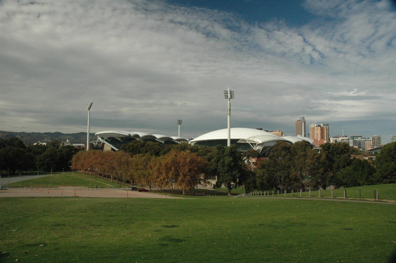
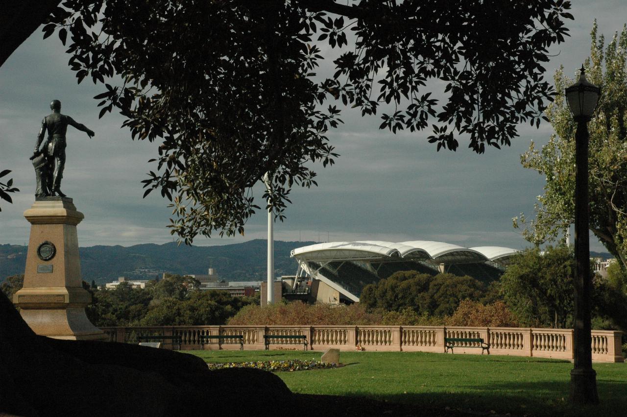
The view from Colonel Light's statue, looking towards the Adelaide CBD, much of which is blocked by the new Oval.
Logo for 1964-2014 comparison

Golf course with dirt path, to trees and city high rise buildings in the distance

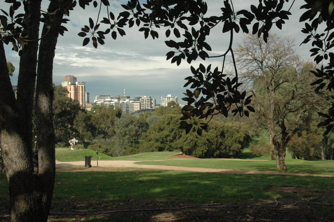
Part of the western side of Adelaide CBD seen over part of the City of Adelaide Golf Club course.

New Adelaide Oval

Large structure behind small people, rectangular boxes and much steelwork

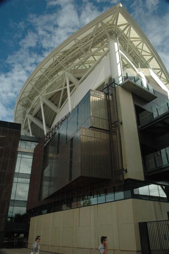
It's BIG when up close, as these people are.

View inside from between stands, with steel work in H pattern, to stands with a scalloped white roof in the distance

The facility was not open for people to wander in, so this was taken through the metal grill gateway.

Stands on far side of oval, green or red seats, white scalloped roof in sections over seats

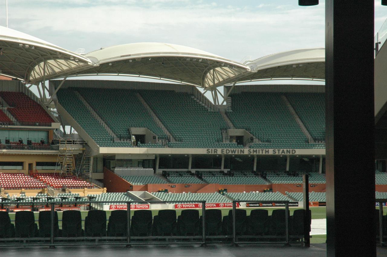
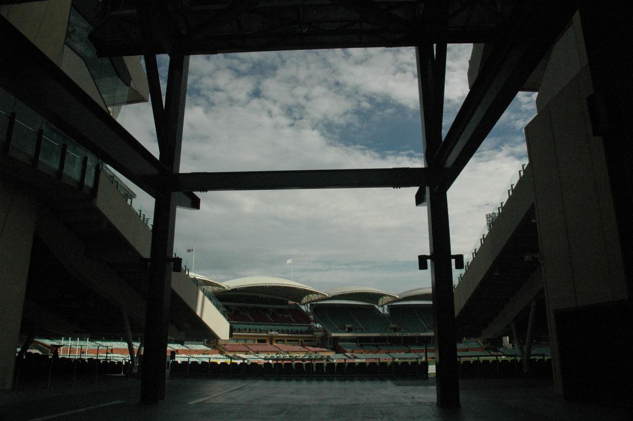
Better view of the seats and weather protection on the far side of the oval. And a little bit of grass showing through.

White domed looking building behind trees on the other side of river

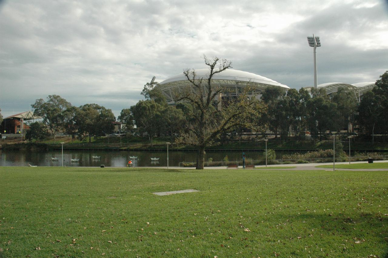
The view of the southern side of Adelaide Oval from Elder Park, across the Torrens River from the oval.

Around The Torrens River

View across river, grassy area to pyramid like white buildings, city buildings behind

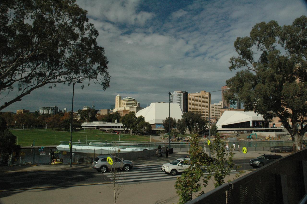
Looking from the new Oval across the Torrens River and Elder Park to the white buildings of the Adelaide Festival Centre.

Grassy hill, white rotunda to trees along road and another park behind

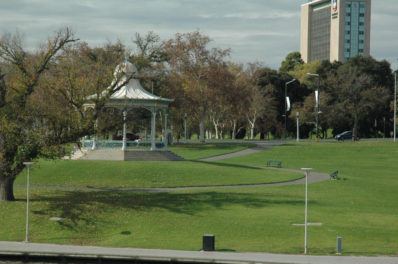
Looking across the Torrens River to Elder Park's rotunda, then King William Drive towards the Torrens Parade Ground area.

River in foreground, grassy hill and white buildings in front of other city buildings

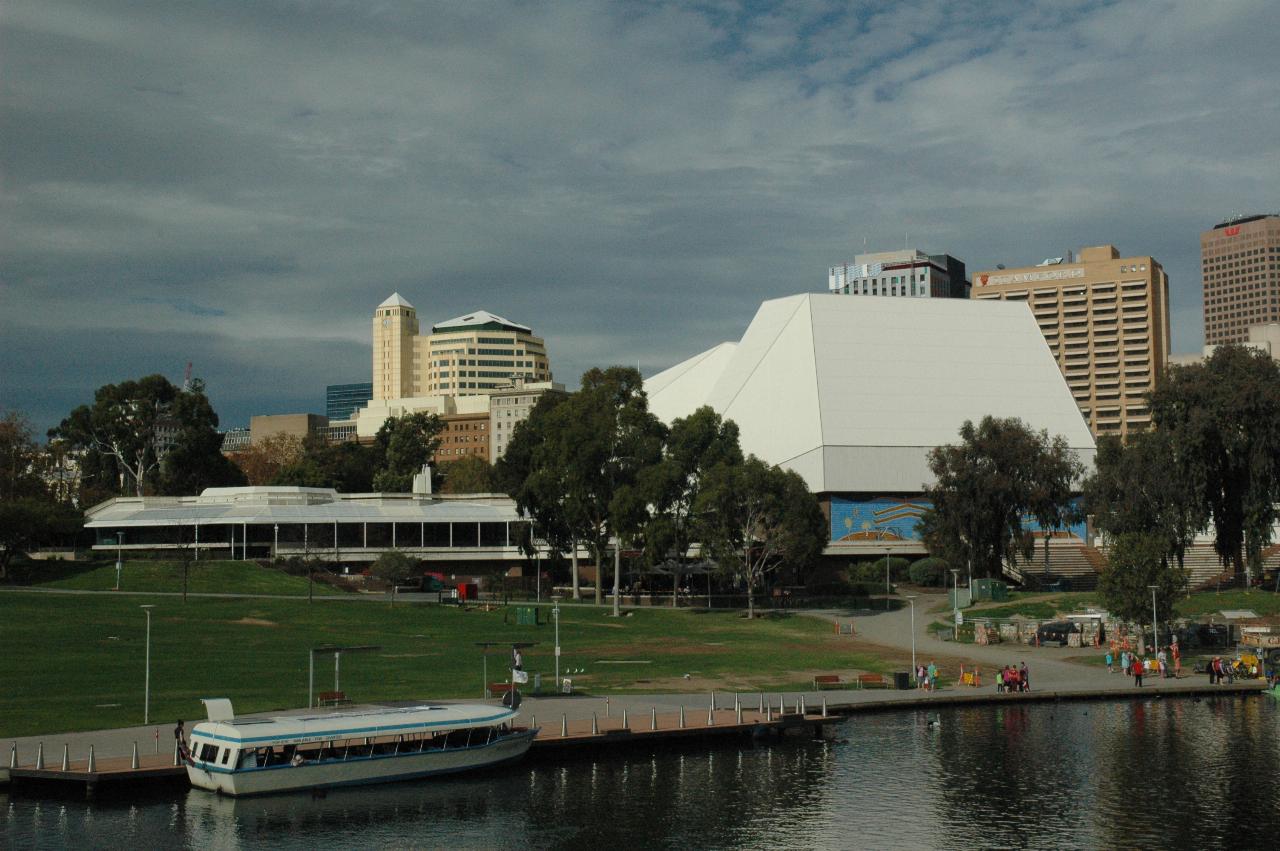
The Torrens River, with one of the tourist boat fleet - Pop-Eye II - then Elder Park and the Adelaide Festival Centre.

Grassy bank with several paths, river and pedestrian bridge across water

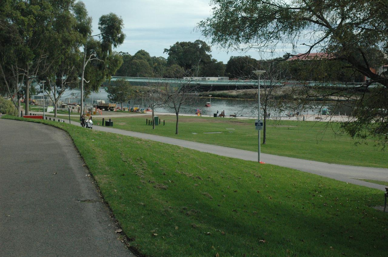
Elder Park just behind the Festival Centre, and aslo showing the "new" pedestrian bridge connecting Adelaide Oval to the CBD, especially the train station.
Logo for 1964-2014 comparison

Two black swans, with red beaks, swimming in the river

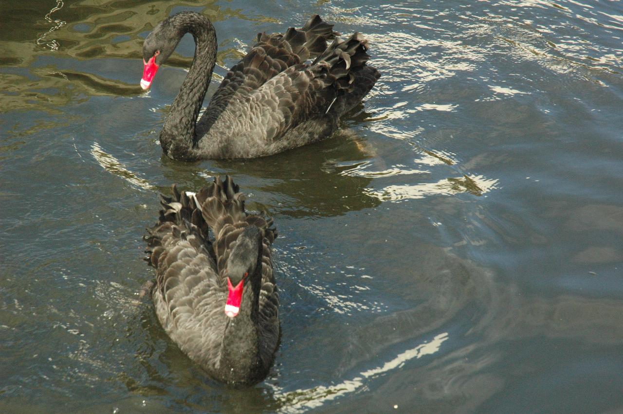
The black swans are still here after 50 years, and presumably several generations later.

Rotunda in park, light green columns, white domed roof

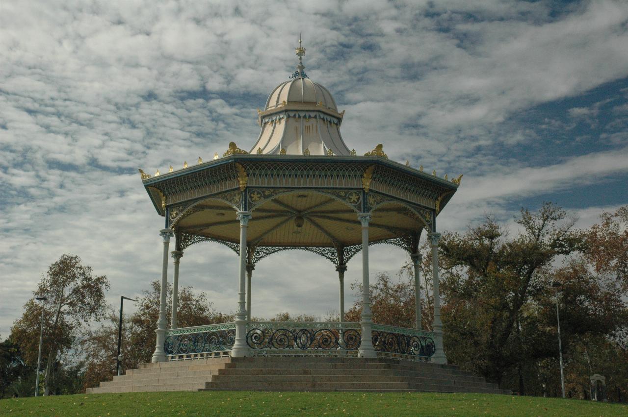
Elder Park Rotunda. Wonder if it's still used for band recitals.

View through rotunda over grassy park to city buildings behind

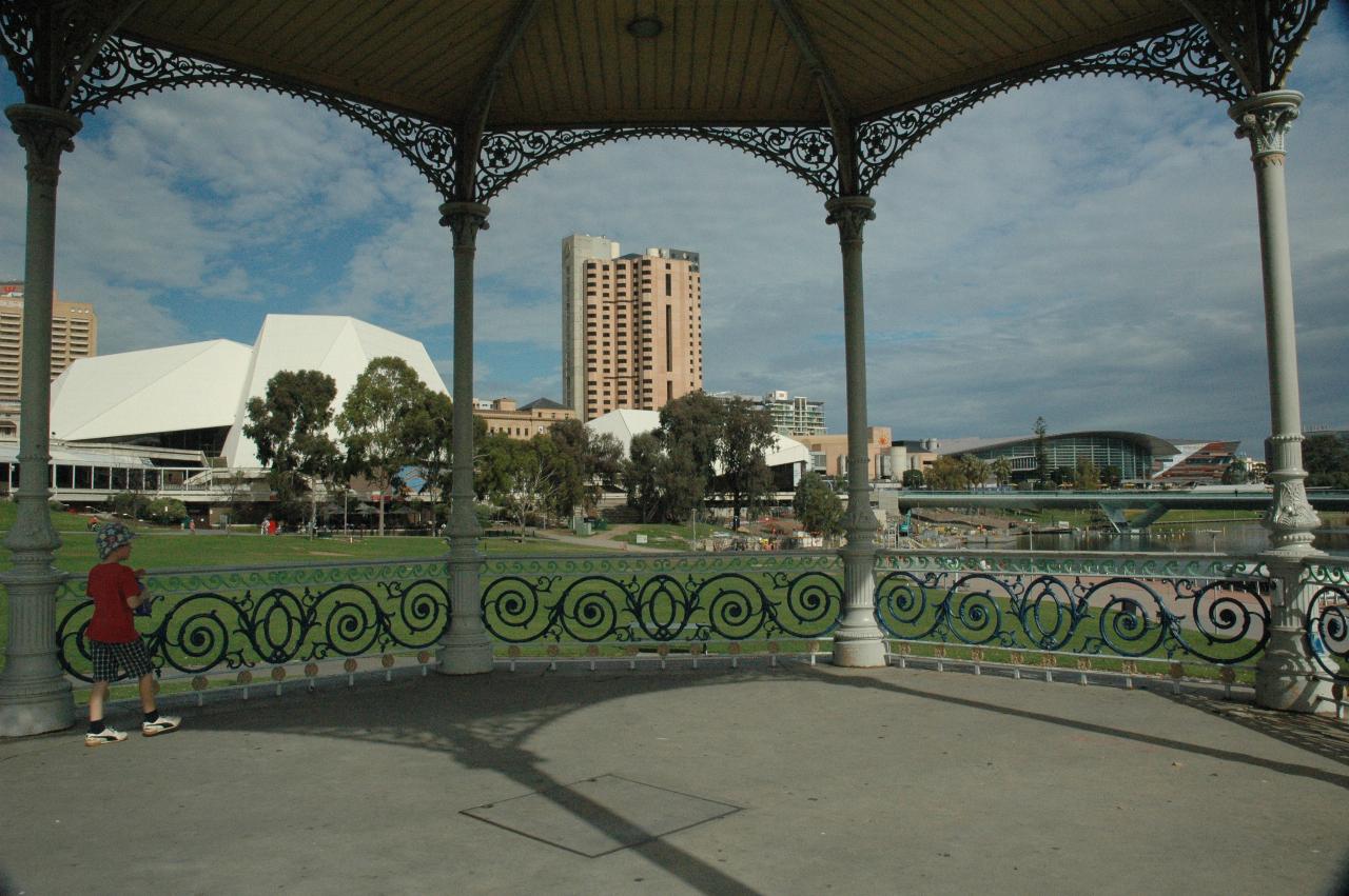
The Adelaide Festival Centre and (right) Convention Centre seen through the rotunda.

left arrowTowards Adelaide
up arrow Back Up
Adelaide IIright arrow