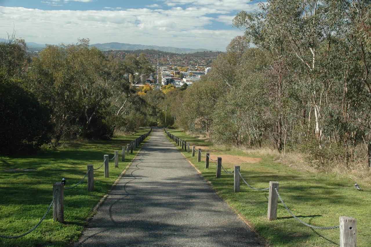
Starting the westward journey from Hume Dam involved returning to Albury,
and specifically Monument Hill, which provides this view of Albury's
Dean Street,
the main street of Albury.

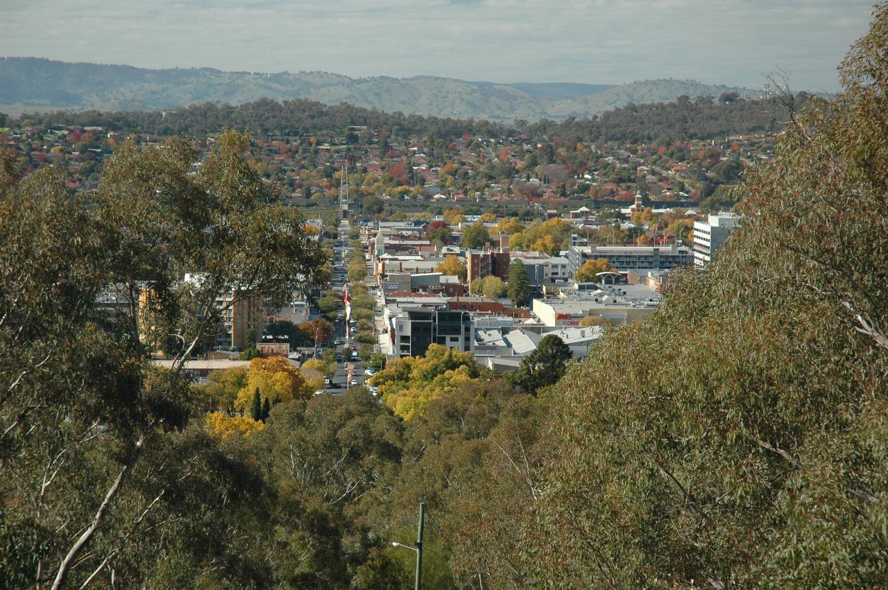
A closer look at downtown Albury, from Monument Hill.
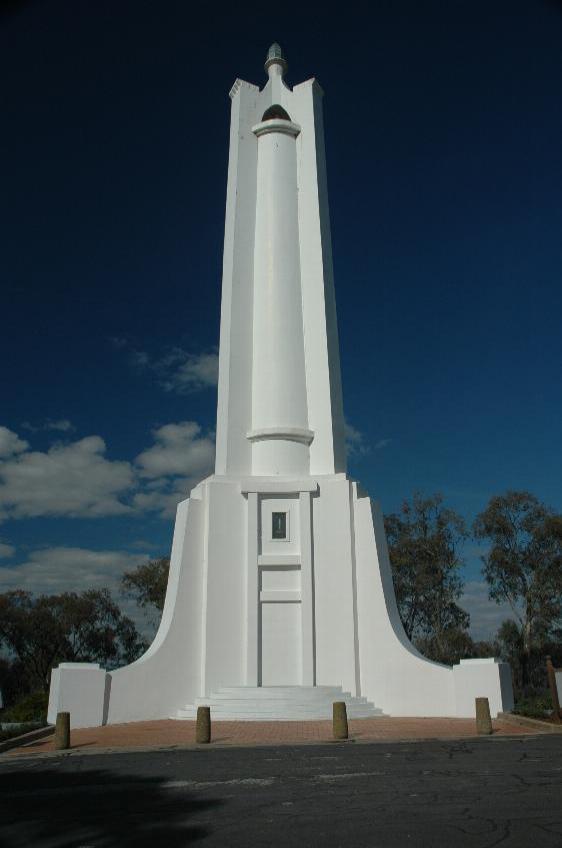
And this is the reason it's called Monument Hill. As the plaque at the top says
Designed by Louis Harrison and built by Tom Bartleson, the Monument was opened on Anzac Day, 1925 by General Paine.
One of the few towers erected as a World War I memorial, it is regarded as one of the best known War Memorials in Australia. The visibility of the monument was seen as a vital part of its meaning when the site was selected.
The significance of the site is further enhanced by the presence of the Memorial Bowl nearby, which was erected as a World War II memorial.
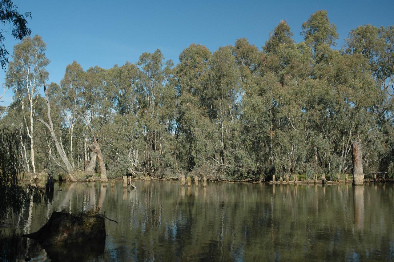
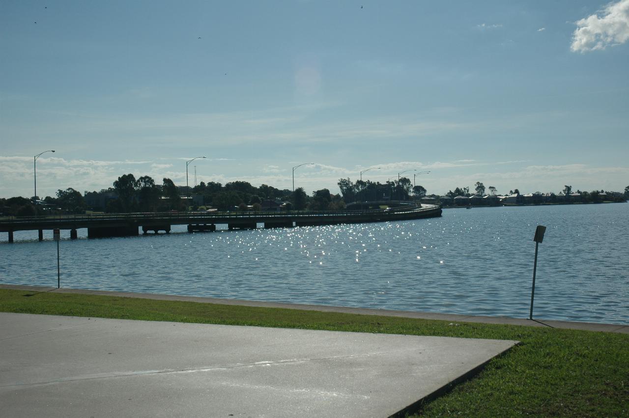
On the 1964 journey, Dad took a photo of many dead trees in the Ovens River. That photo appears to have been taken from the bridge where the Murray Valley Highway crosses the river. Alas, that photo can no longer be replicated, in part because it involves stopping on the bridge, but mainly because of roadworks, so no chance to stop at all. However, there is a small settlement on the eastern bank where these photos were taken. The settlement appears to be nameless.
A map at this location indicates that this is about the edge of Lake Mulwala behind Yarrawonga Weir, which was completed in 1939. That was likely the cause of the dead trees, most of which are no longer there due to decay and likely removal for safety of boaters.
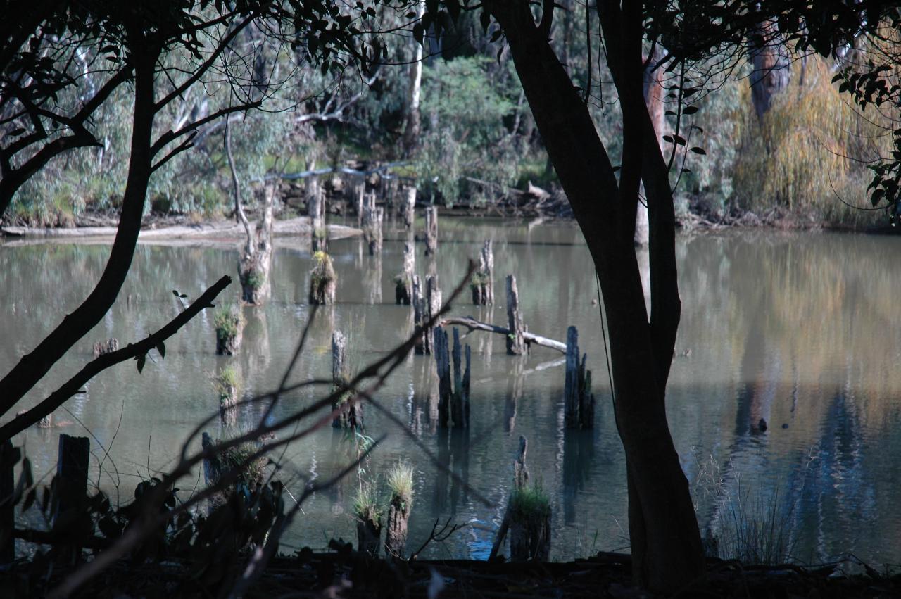
It appears these were the piers of a former bridge over the river. And a map for boaters at this area suggests it used to be the route of the highway. Given the trees on the far side, it appears to have been a long time since there was a bridge here.
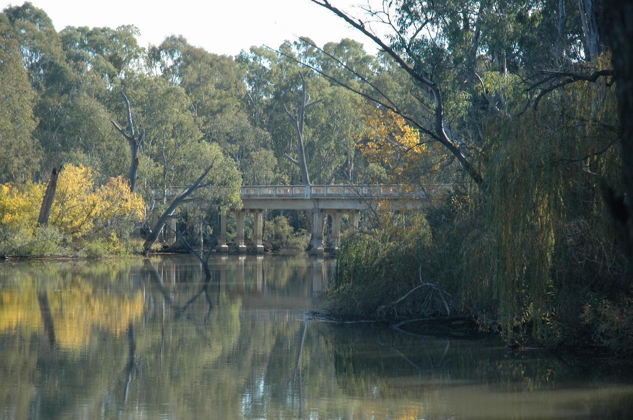
To the right of the above photos is a view of the current bridge carrying the Murray Valley Highway west towards Yarrawonga. The land on the left is actually an island, and the second bridge (not visible here) is likely the one from where Dad took his photo.
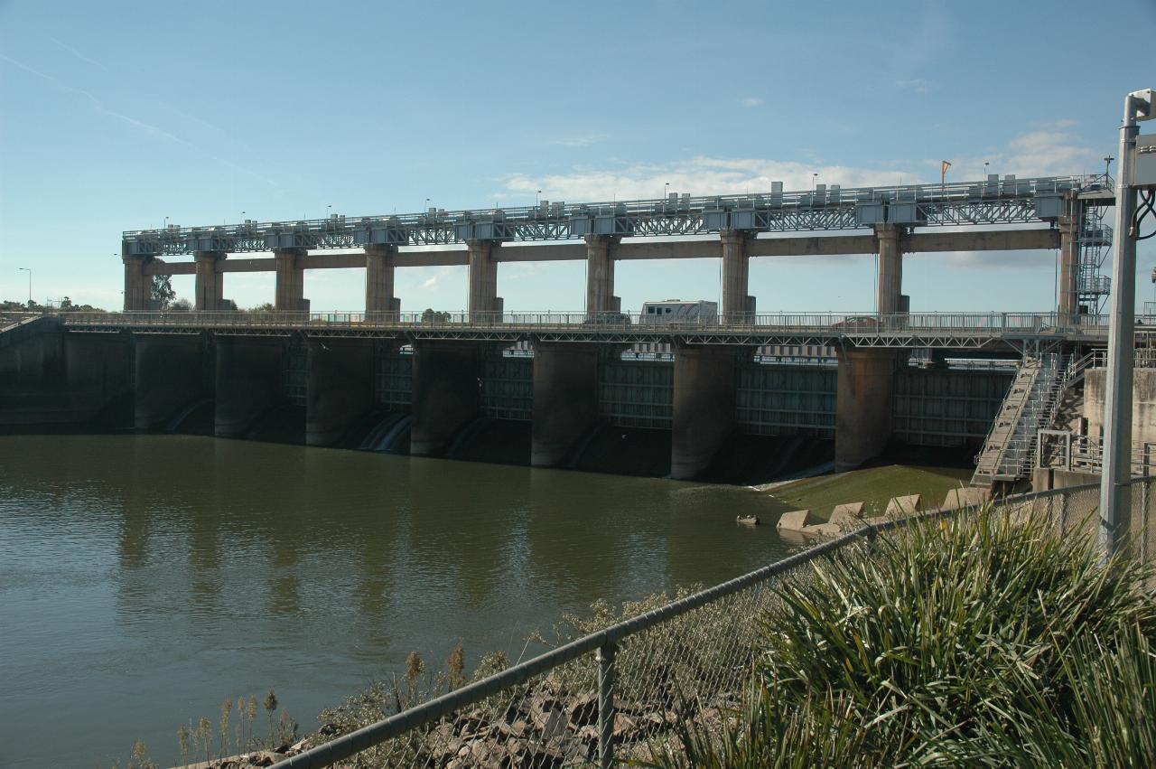
Yarrawonga Weir construction began in 1935 and was finished in 1939. In 1994 a hydro-electric power station was added with an output of 9.5 MW. Lake Mulwala, behind the weir, feeds water north and south of the border for irrigation use.
The weir is approximately 230 km downstream from Hume Weir, and 1992 km from
the mouth of the Murray.
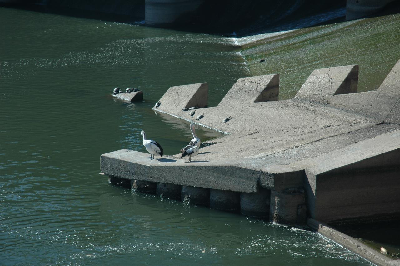
The turtles seem to be enjoying the sunshine on their concrete perch. The pelicans are more likely interested in fish. A fish ladder/lift was installed here during the 1994 power station construction, and it's to the right of this photo.
This road bridge was built before the weir, and is about 700m upstream. Showing great communication skills, it was built from both sides, by each state government. Alas, they didn't quite get it right, and thus the bridge has a bend in it, and also a dip. Thus it ever was. There is also a train line crossing the lake, just behind the weir, and not visible here.
The settlement on the far side is Mulwala, New South Wales. Yarrawonga is in Victoria.
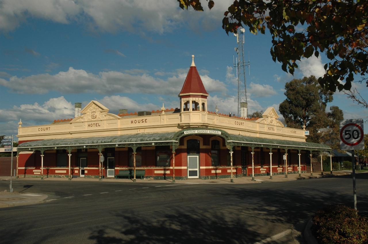
The Court House Hotel, or
O'Shanassy's Court House Hotel
as it was in 1964.
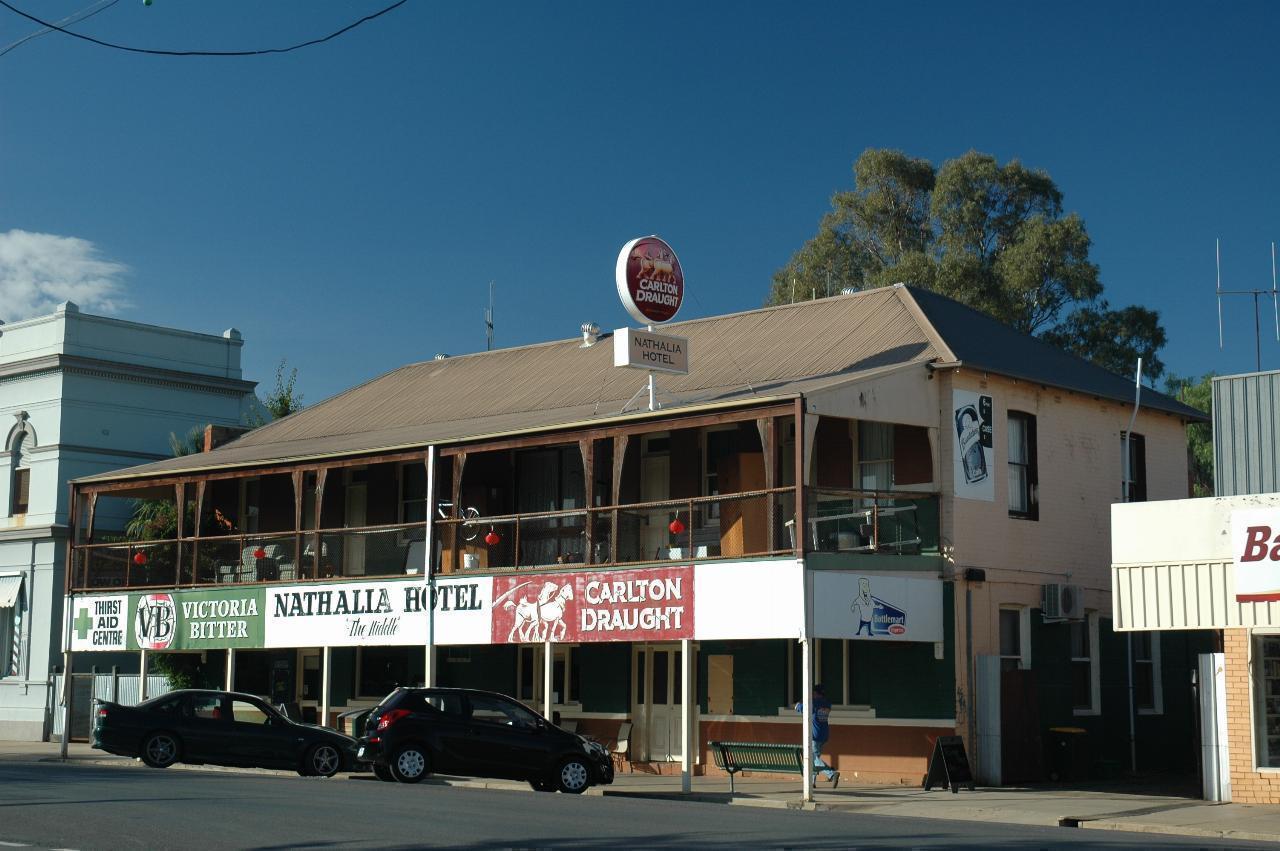
In the next block is the Nathalia Hotel, which as the sign (far left) says is a Thirst Aid Centre.
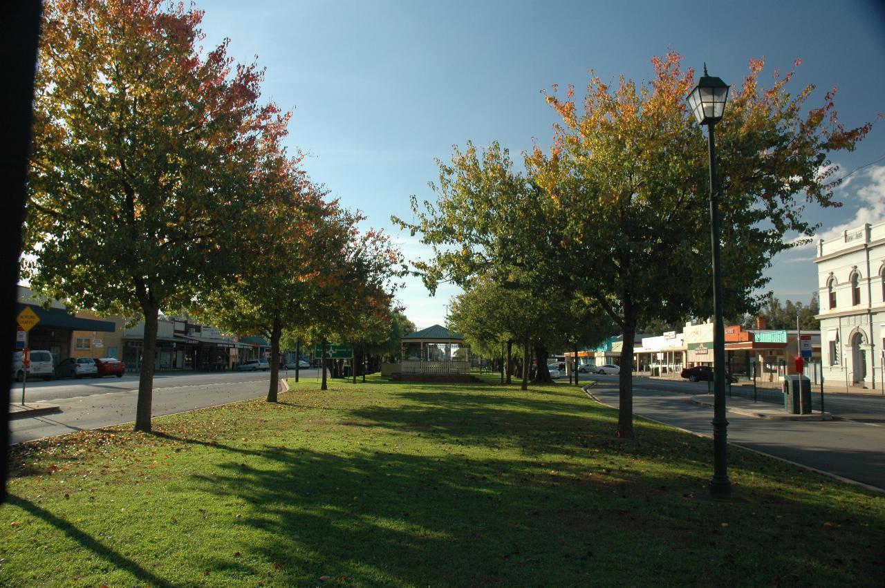
Nathalia has a well cared for look, as this view of the green strip down the middle of the main street (also the Murray Valley Highway) shows. And some autumn tonings appearing at the top of the trees. Although the town looks deserted, there was quite a bit of activity.
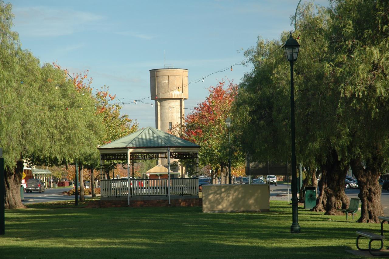
The rotunda in the garden strip is well cared for, and perhaps is still used for afternoon band concerts.
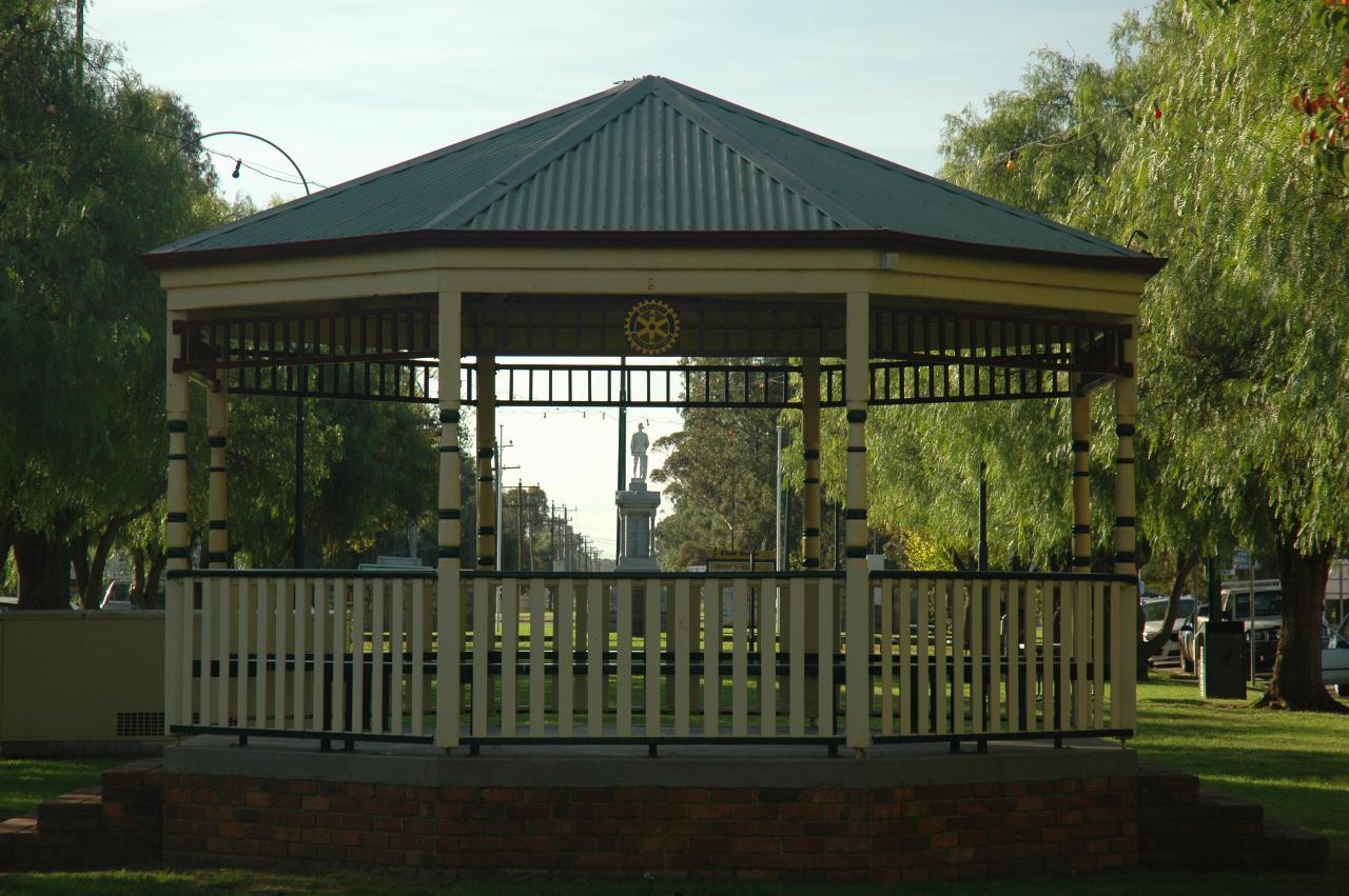
The rotunda in close up, and through it, the back view of the town's war memorial.
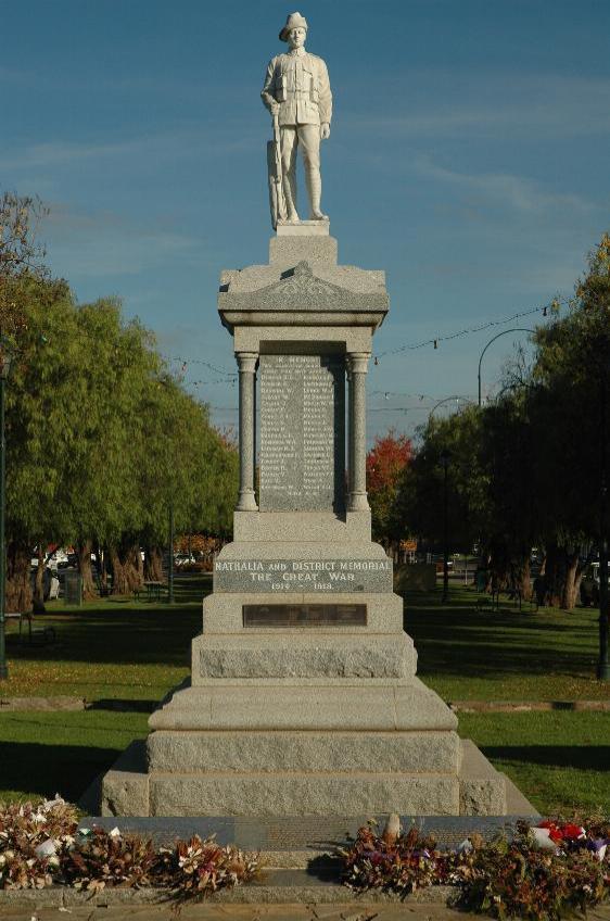
Common in Australian towns is a war memorial for the locals who volunteered to fight, but never returned.
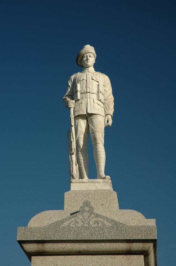
The soldier
From here it was a short drive to Echuca, where the original plan was to spend just one night, but when checking in at the motel, I was persuaded to spend 2 nights, rather than 1. But I had been already contemplating that idea anyway.