Springbrook
Click on an image to see a larger version
Saturday was go riding day. There are quite a few good roads in
the Gold Coast hinterland, and I had a list. And a map, specifically
Hema Map's
Australia Motorcycle Atlas,
which has
200 Top Rides.
And it's a small page size, making it much more convenient for carrying
around on a motorcycle.
I remember attempting to reach Springbrook with mum and dad many years
ago. We didn't make it. The road was unsealed, it was muddy, and operated
one way at a time - something like a half hour up, followed by a half hour
down. We gave up due to the slippery conditions, and waited for the
half hour reversal to take place.
Now the road is sealed, though there are still a few one way sections.
Most of those are very short (perhaps 100m), with visibility along the
length of the section. And one end would have a
Give Way
sign to determine priority. Good work. But there were some sections
where one end was not visible from the other, so it was not possible
to determine whether there was an oncoming vehicle. That situation never
arose, but it's not clear how it would be resolved.
From the motel it was direct to the motorway (by this stage I knew
the way without assistance!) and head south to Mudgeeraba, then take
Major Road 99, Hema 112, to Springbrook. The road is mostly twists
and turns, with little in the way of guard rails. And it would be
a long way down. Being unfamiliar with the road resulted in conservative
riding. Not too surprisingly, a couple of locals caught and passed me.
Wunburra Lookout
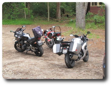 At one point the road becomes VERY divided. On the up section is
the Wunburra Lookout, and an eating establishment.
Being time for a stop, I pulled in and had a quick chat wit the two
bikers who passed me. Turns out one of them used to live in a home
just below the lookout!
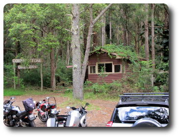 Obviously the
Cornerstone Gallery
did not work out. The building was empty, as well as being overgrown.
Nor was it obvious what was beyond that would attract people, as the
building was a small shop which I presume was used to collect money
from visitors.
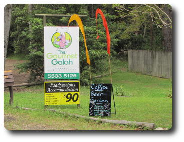 The Gourmet Galah
looks to do a pretty good business. I was neither hungry nor thirsty,
so did not call in. But the view is excellent. Note for non-Australians:
the galah is a pink and gray cockatoo.
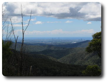 The view from the lookout. The ocean in the distance is the Coral Sea,
part of the Pacific Ocean. The tall buildings along the shore, just
visible, are part of the Gold Coast tourist strip.
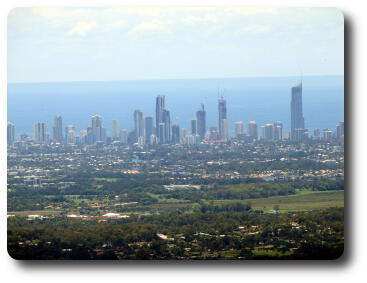 A closer view of the buildings, one of which is (I am told) currently
the tallest building in Australia. They are hotels and/or apartments, as the
main economic driver is the tourist industry.
Purlingbrook Falls
Continuing the ride and soon Springbrook is reached. One attraction
here is Purlingbrook Falls, which fall over 100m.
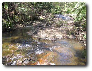 This is the stream which feeds the falls. This is not (normally) the
wet season, so the flow is quite low.
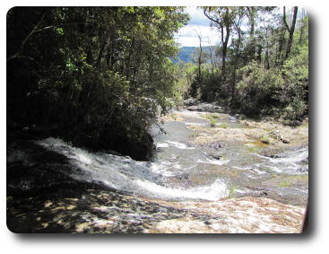 The stream continues towards the falls, which are just around to the left
in this photo.
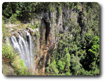 And finally the stream falls over the edge into the valley, 100m or so below.
As noted above, the flow is small at this time of year.
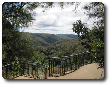 The gorge into which the falls descend. There are walking tracks to both sides
of the falls, and one which descends to the base of the falls, and a rock
pool for cooling off in summer.
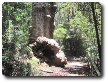 One of the forest giants on the trail back from Purlingbrook Falls.
Note the railing along the right hand side for a size comparison.
This is a very large tree trunk.
Best of All Lookout
Continuing along the road I see signs to
Best of All Lookout.
Well, how could one pass up something like that. So that's where I
ended up.
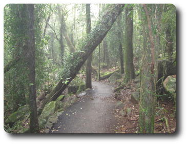 This is the track to the lookout. This shot shows there is fog about,
and also very lush growth in an obviously often wet environment. Which is
how the
2000 year old beech
tree has survived here.
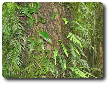 Life is abundant along here, as indicated by the "hangers on" of this
tree trunk.
A more humble piece of vegetation, by comparison with the trees.
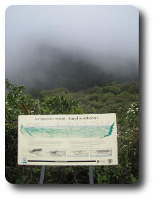
At the end of the track is this magnificent view from the lookout! The
display board shows a magestic scene of northern New South Wales,
as the lookout is very close to the border. Among other things, the
display board points out that this lookout is located on the rim of
the former volcano of which Mt. Warning is the remnant plug (the core
of solidified lava from an eruption).
The clouds were moving rather quickly, so it's possible that had I waited
a few minutes, they would have cleared out. But I had other locations to
visit today, and as the wind was coming from the ocean, it was not at all
obvious it would clear up.
 Obviously the
Cornerstone Gallery
did not work out. The building was empty, as well as being overgrown.
Nor was it obvious what was beyond that would attract people, as the
building was a small shop which I presume was used to collect money
from visitors.
 At one point the road becomes VERY divided. On the up section is
the Wunburra Lookout, and an eating establishment.
Being time for a stop, I pulled in and had a quick chat wit the two
bikers who passed me. Turns out one of them used to live in a home
just below the lookout!


