The following is from the display board adjacent to the rock cores.
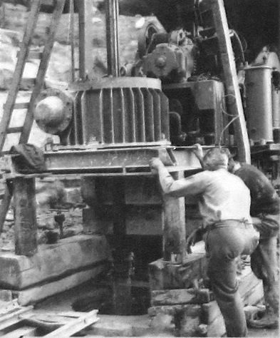
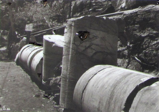
The 1.2 metre diameter rock core samples were cut and extracted using a Calyx
drill as part of the extensive geological investigations that began in 1942
to find the most stable ground for Warragamba Dam. A total of 525 metres
of large core samples were taken.
The geological survey also involved cutting thousands of 76 millimetre diameter
cores from the rock in a 15 metre X 15 metre grid along a 3.2 kilometre length
of the Warragamba River gorge.
Approximately 1.7 kilometres of these cores were extracted and reassembled piece
by piece above ground to create an accurate map of the rock strata below.
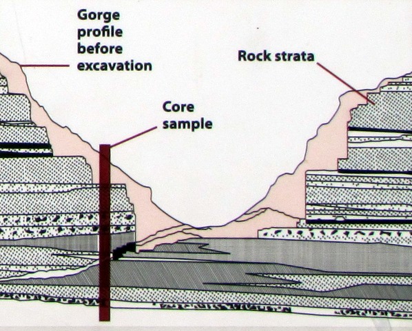
The core survey on the intended site of the dam revealed a thick bed of shale,
too unstable for a dam. In 1946, the final site was chosen further upstream
where the most suitable geology was located.

An Australian invention, the Calyx drill used a rotating steel cylinder and
hardened steel shot to cut and remove large diameter rock cores.

Sections of the 1.2 metre diameter cores

A cross section of the Warragamba River gorge showing a typical core sample.


