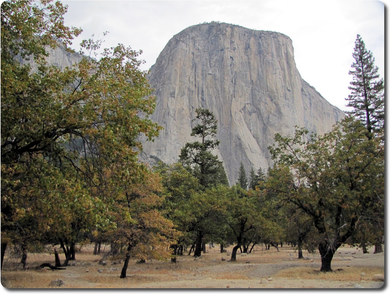
 El Capitan
from the El Capitan picnic area. The trees are giving away the time of year too -
autumn is coming. Typically earlier in higher areas.
El Capitan
from the El Capitan picnic area. The trees are giving away the time of year too -
autumn is coming. Typically earlier in higher areas.
There are two parallel roads in the valley, the Northside Drive is north of the Merced River, and not surprisingly, the Southside Drive is on the other. Yesterday we were mostly on the southern road; today the northern road.
El Capitan
from the El Capitan picnic area. The trees are giving away the time of year too -
autumn is coming. Typically earlier in higher areas.
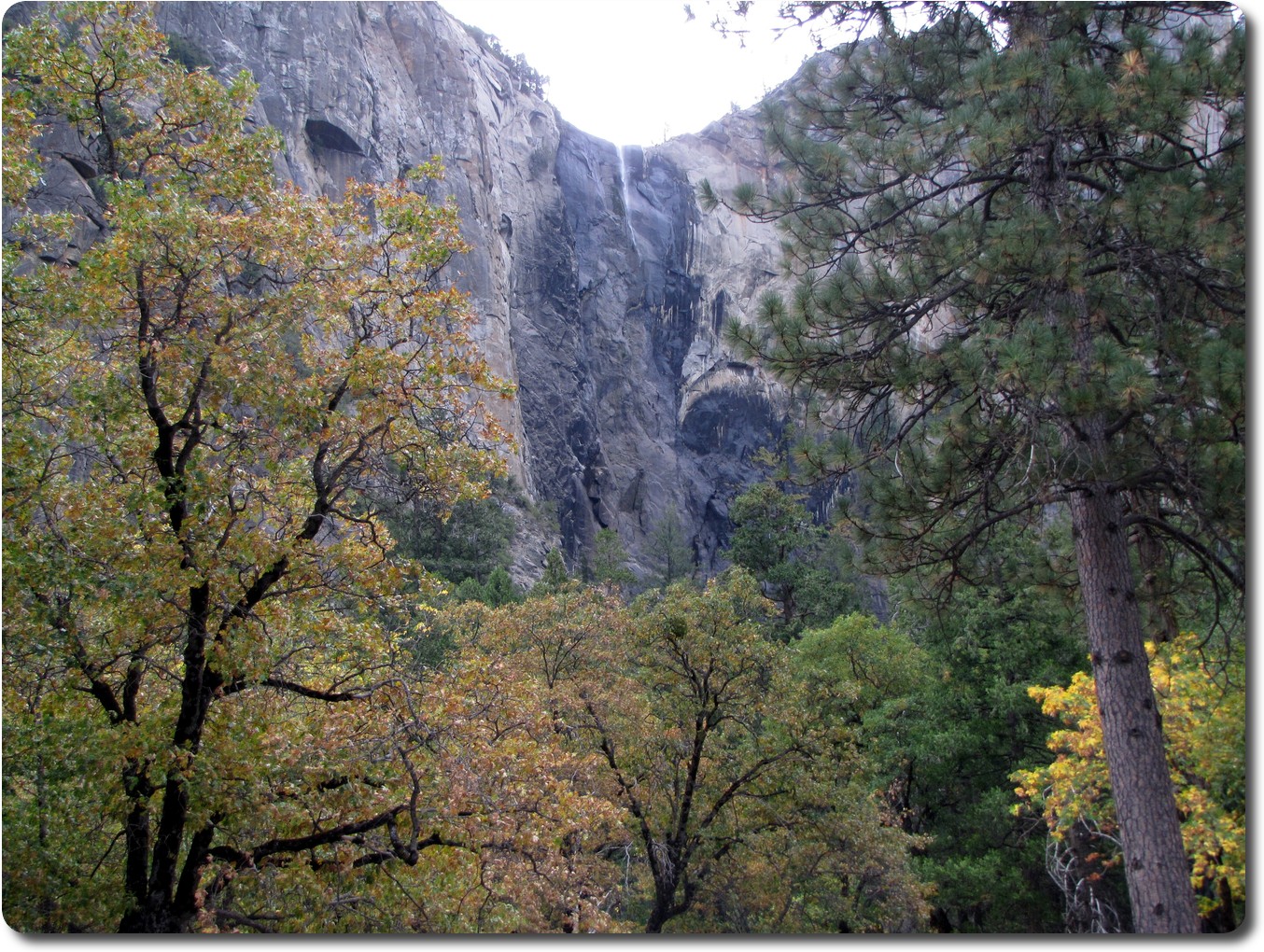 Bridalveil Falls, seen from across the valley from yesterday's expedition.
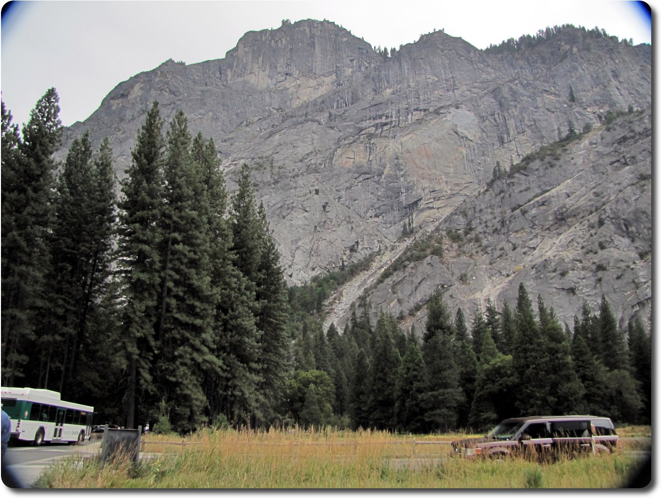 This is looking up at Glacier Point from Curry Camp. The bus is used to carry
tourists around the valley area. Not sure which "peak" is the lookout. It may
not even be visible from here.
This is looking up at Glacier Point from Curry Camp. The bus is used to carry
tourists around the valley area. Not sure which "peak" is the lookout. It may
not even be visible from here.
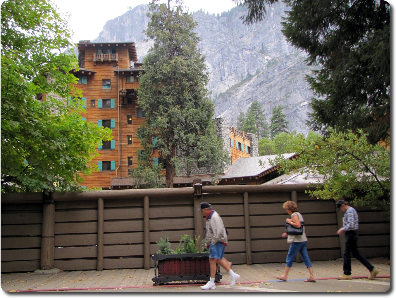 The Ahwahnee seen from ground level. It's a hotel and restaurant. The
mountain at the rear is Glacier Point.
The Ahwahnee seen from ground level. It's a hotel and restaurant. The
mountain at the rear is Glacier Point.
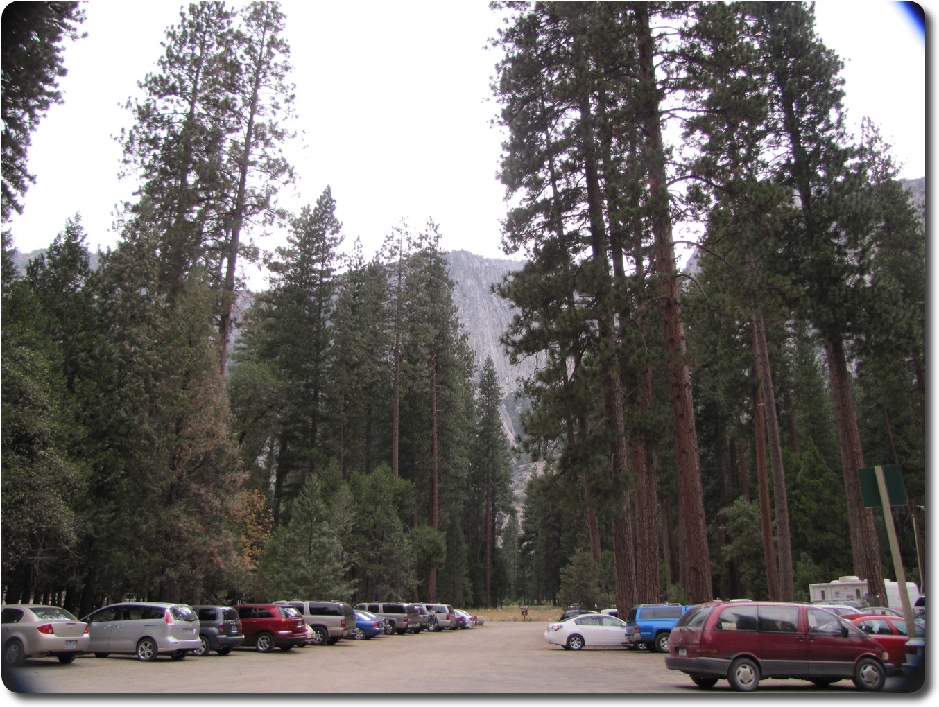 The parking lot for visitor centre area.
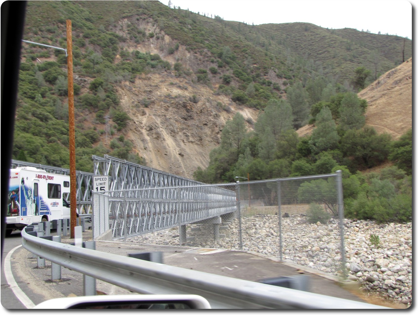 This is a temporary diversion of the road along the Merced River. This bridge
takes the road across the river to follow the railway grade for a short distance.
It's a one lane bridge with traffic lights to control access. And there is another
bridge a little ways down to return to the road side of the river.
This is a temporary diversion of the road along the Merced River. This bridge
takes the road across the river to follow the railway grade for a short distance.
It's a one lane bridge with traffic lights to control access. And there is another
bridge a little ways down to return to the road side of the river.
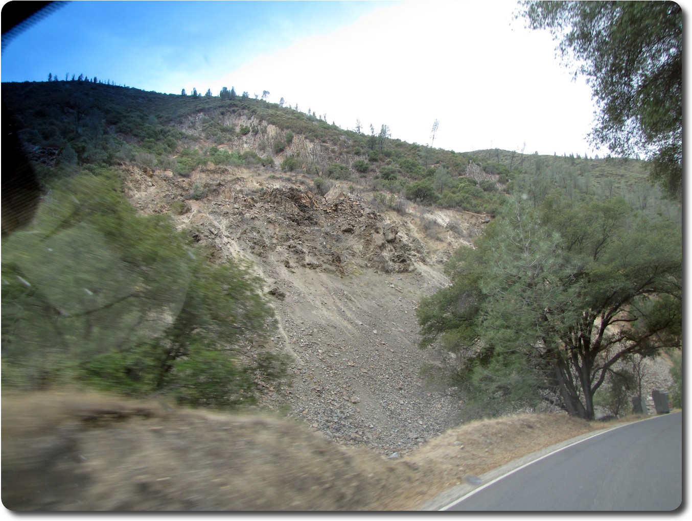 And this is the reason for the detour - a rock slide on the other side of
the river, that is the road side! Here we are on the new road on the old
railway grade. This and the above photo were taken from inside the car.
And this is the reason for the detour - a rock slide on the other side of
the river, that is the road side! Here we are on the new road on the old
railway grade. This and the above photo were taken from inside the car.
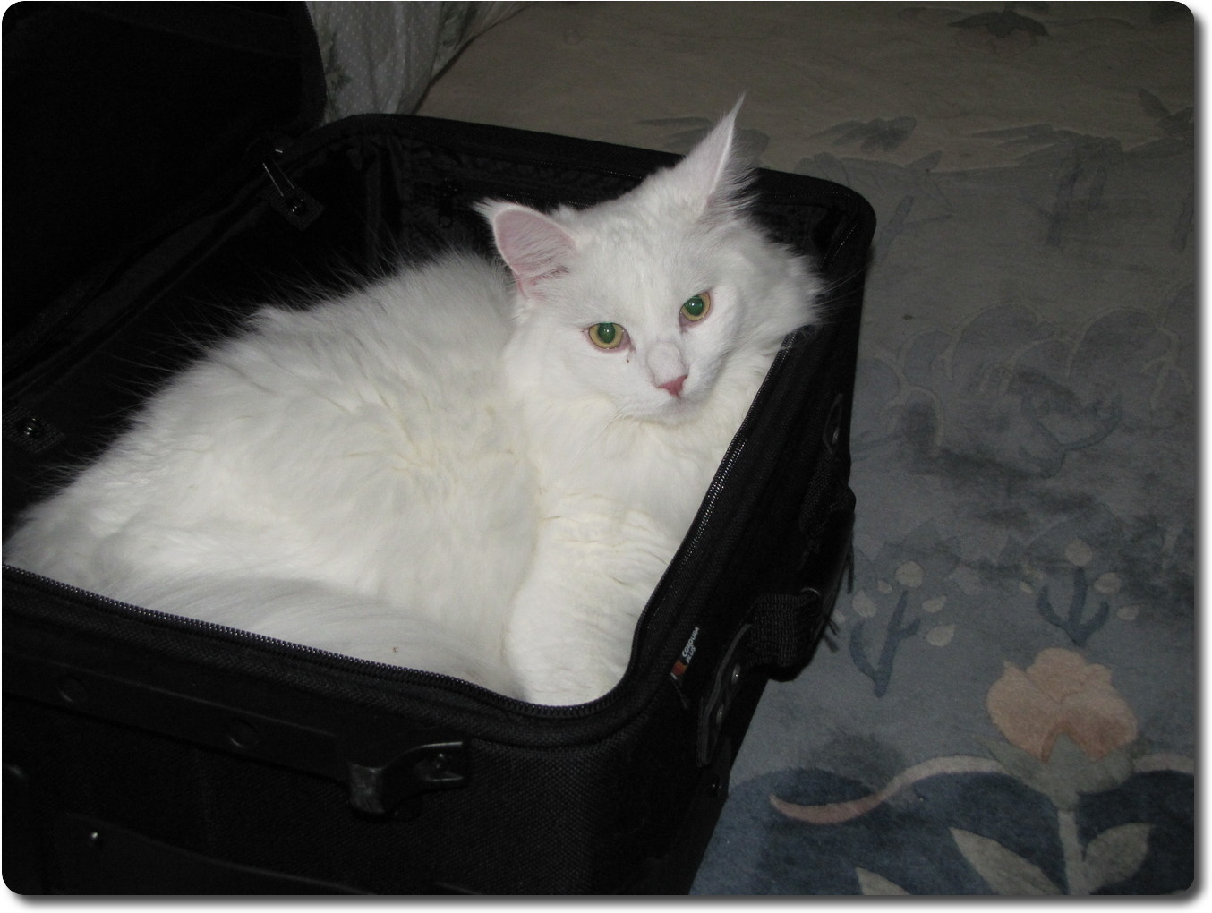 Jeffrey's cat Snow decided that the small suit case I took for the trip
was a perfectly fine place to relax in safety. Fortunately I had
removed my stuff before the occupation!
Jeffrey's cat Snow decided that the small suit case I took for the trip
was a perfectly fine place to relax in safety. Fortunately I had
removed my stuff before the occupation!