Simon Bennett came to spend the weekend of September 16th & 17th with me, so I thought we'd go look at some country scenes that I suspect Simon had not previously seen. So, it was off to Warragamba Dam. I remember going there as a child, with even some vague memories of it during construction.
My recollections include walking across the suspension bridge, and even walking across the dam wall. I think I have also been on a dam tour, including walking along one of the inspection passages inside the wall. Cool and damp is the recollection.
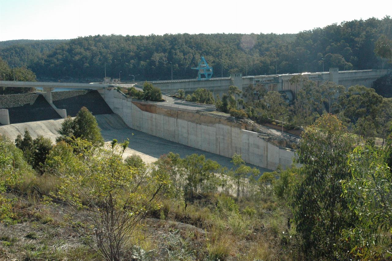
However, since then, the dam has had safety upgrades, due to revision of the possible floods, and the wall has been raised 5m, and an auxiliary spillway, beside the main wall, added to prevent the wall being overtopped by a one in 700 flood event. That is, a flood which has a 1 in 700 chance of happening any one year. Such an overtopping could have lead to catastrophic failure of the dam wall. The new spillway was completed in 2002, and of course the water level has been falling steadily ever since due to the prolonged drought.
Alas, the fond memories of Warragamba proved to be just that - memories. The dam wall is no longer accessible, due in part to the construction (completed) and refurbishment, and in part due to the current terrorist nonsense which has inflicted governments devoid of reality checks.

This is the only view of the dam wall, from a new viewing platform. And some of this view is blocked by trees! The new spillway is the structure on the left.
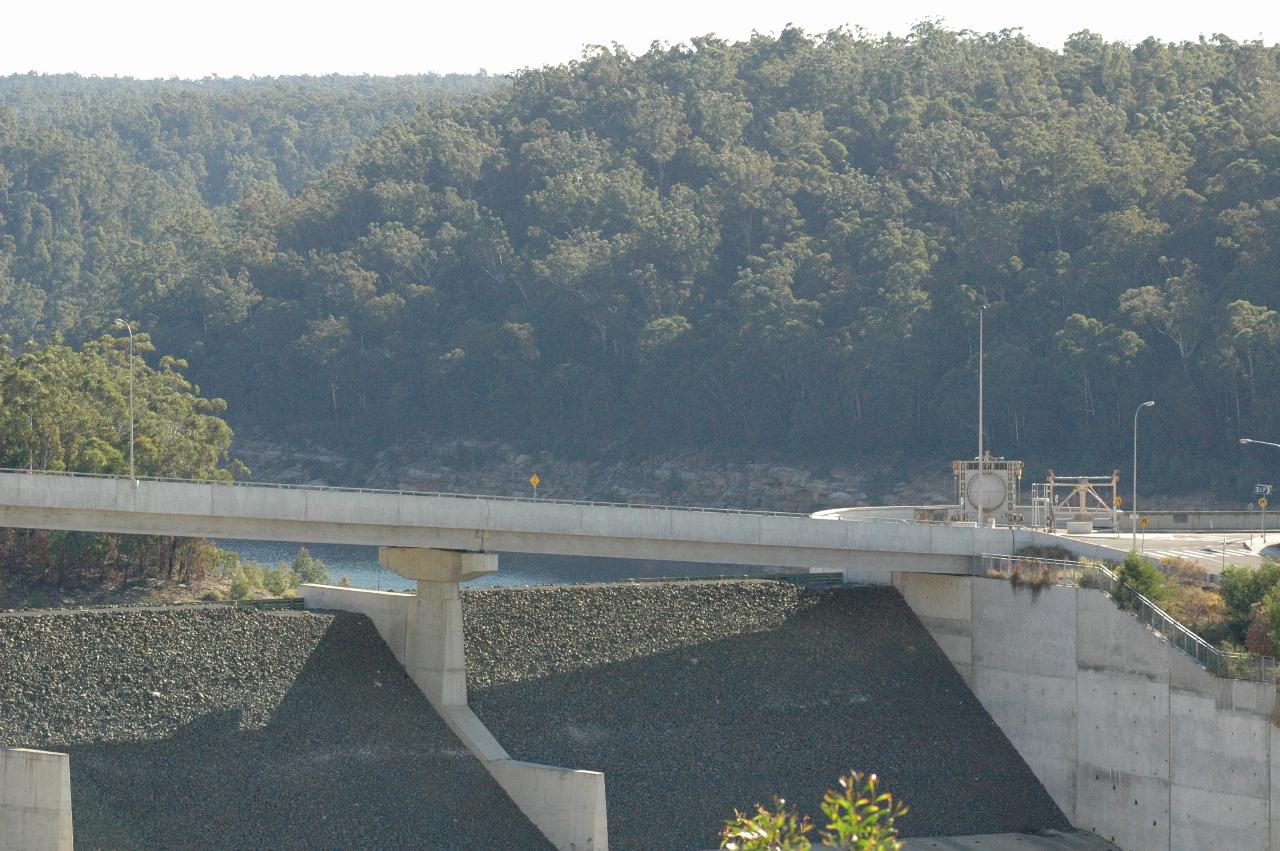
A close up view of the "fuse" in the new spillway, and also The dark area in the new spillway is the fuse, which washes away when the water flows over the top. The intention is to stop water flowing over the top of the wall.
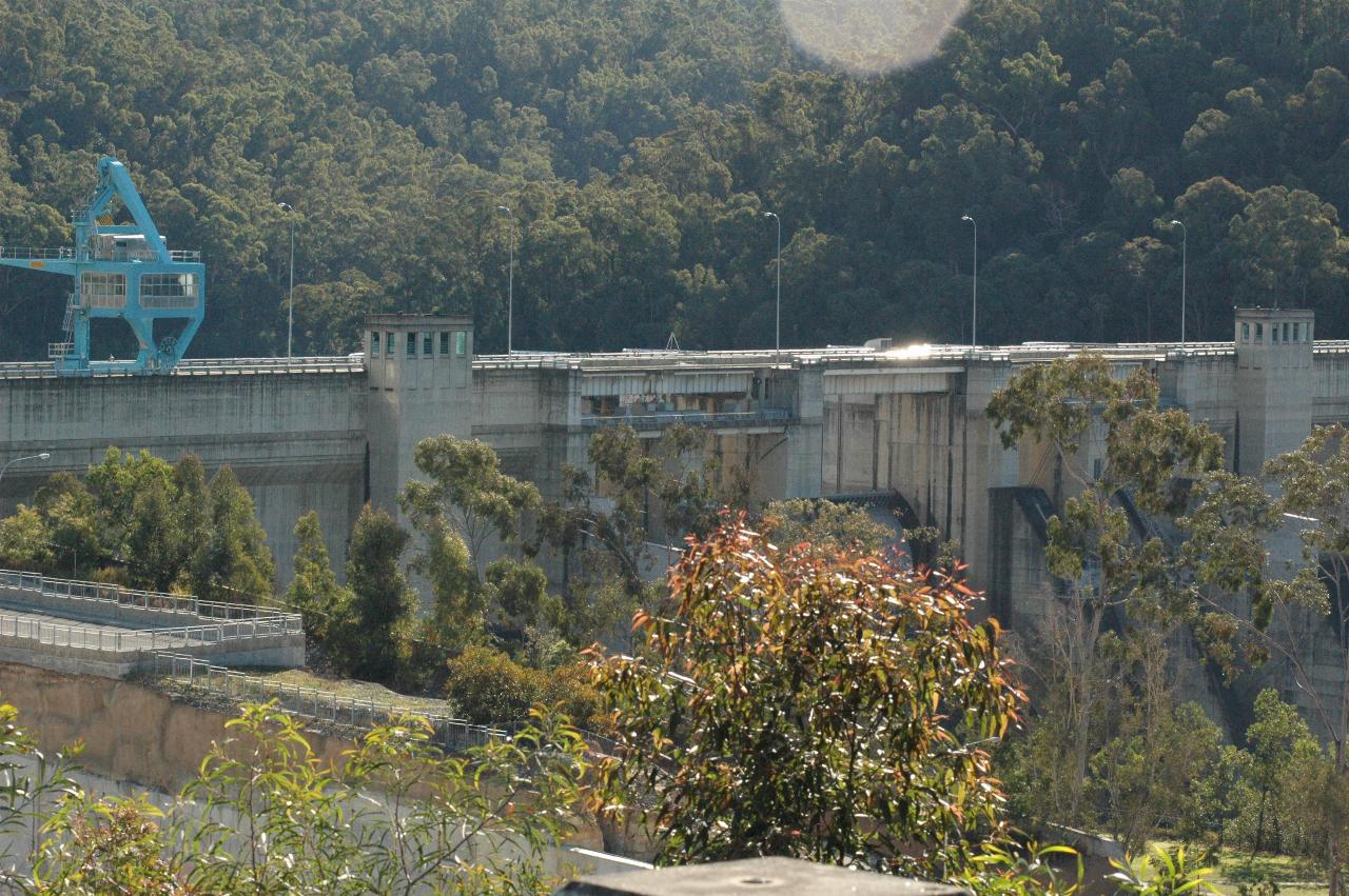
I have a very vague recollection of the lift (aka elevator) towers being taller than this! And they were, as you can see the extra 5m added to the top of the wall. This is the only view of the wall.
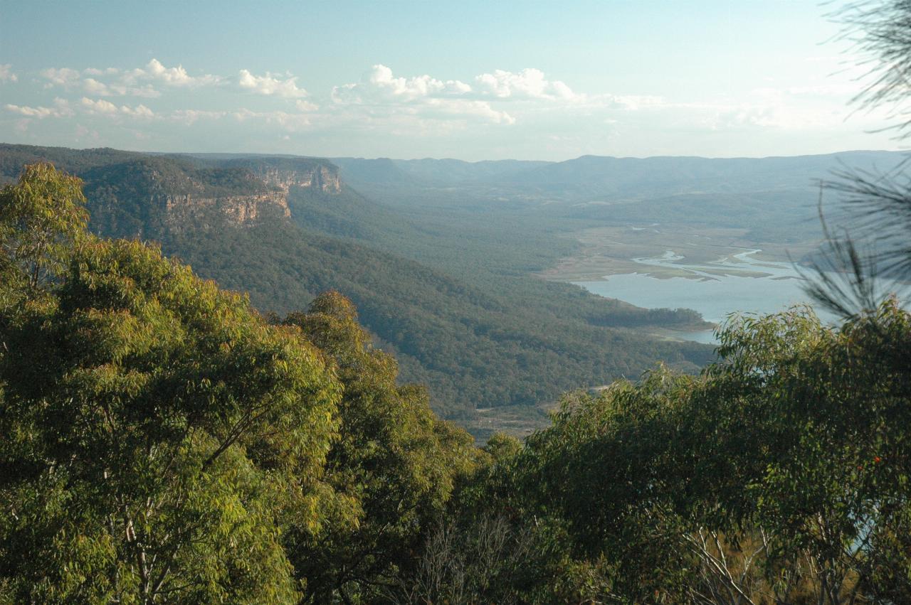
Looking roughly south west (away from the dam wall). The sandstone cliffs are a common feature of the Blue Mountains area; this is the foothills area.
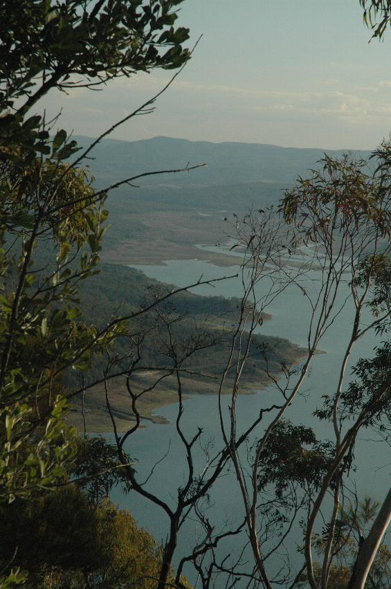
A view showing the low water level. Basically the brown areas would be underwater when the dam is full.
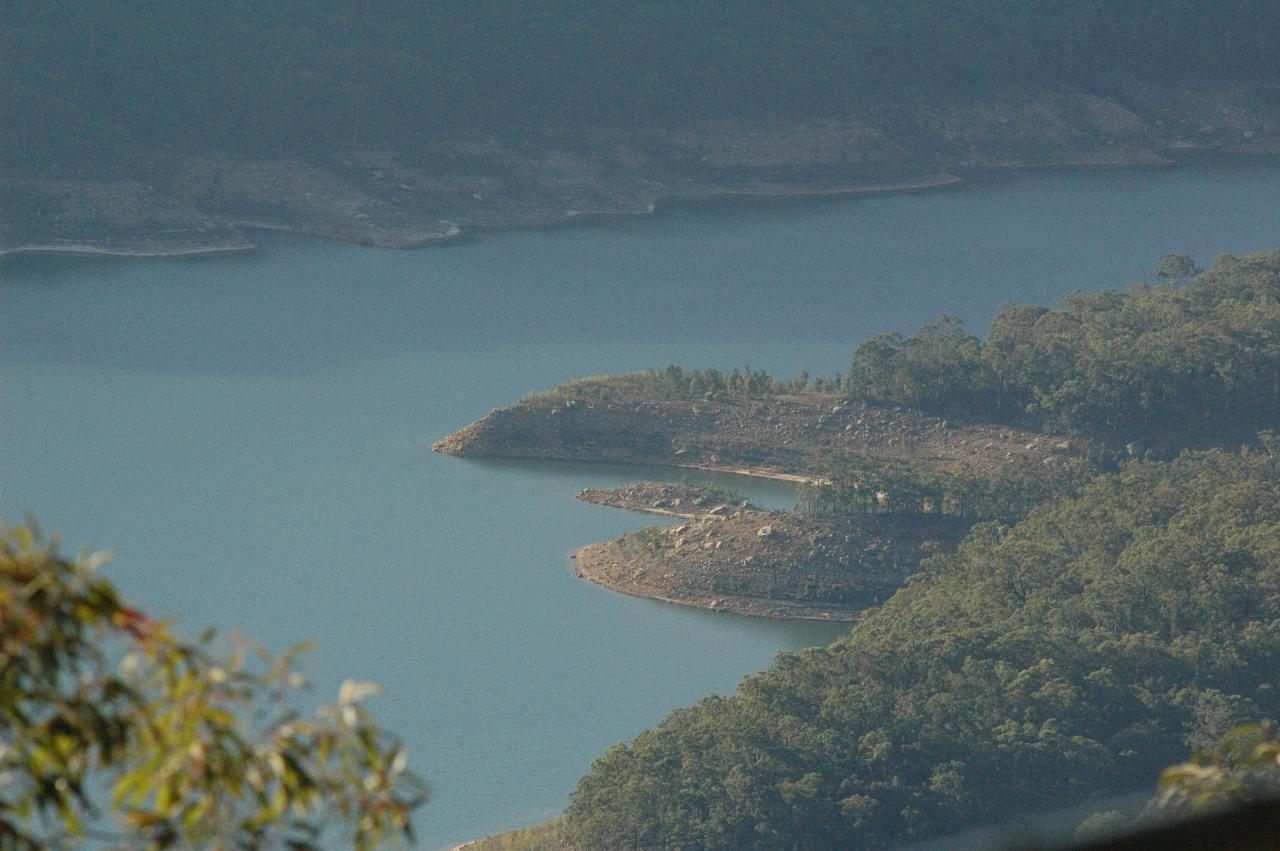
Looking north towards the dam wall also shows the low water level. There are reasonable sized trees growing on the "headland" in the middle of the image - ones which should be underwater!
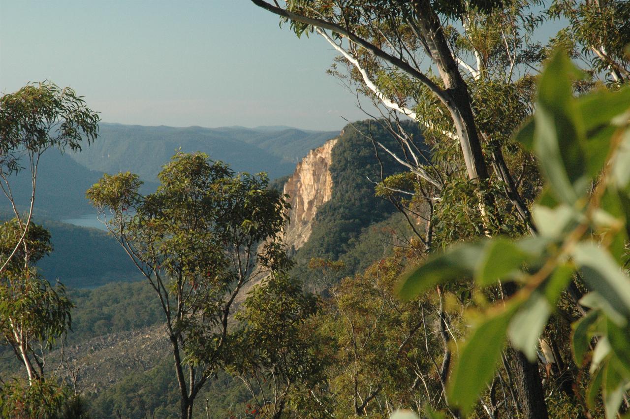
Still looking north, and showing a collapsed section of the cliff face. This type of failure is a feature of this area; sandstone is not an especially strong stone (unlike, for instance, granite), and after years of weathering, the face will just fall off part of the cliff. I don't know how frequently this happens, but it's nothing like an annual event!
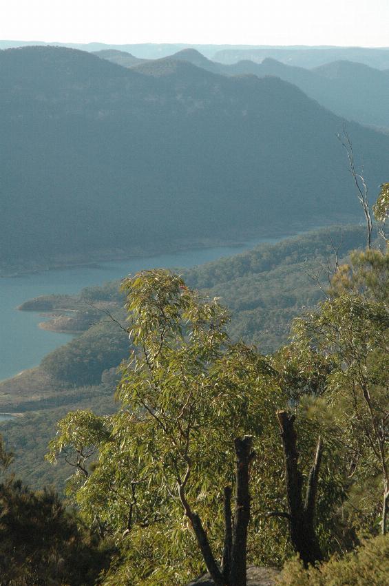
Interesting mountain shapes in the afternoon sunshine.
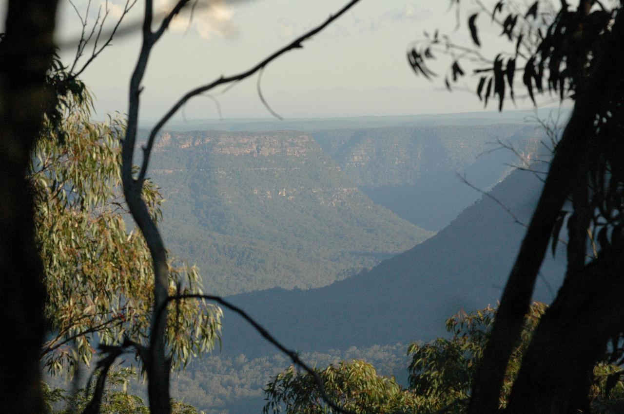
Another valley in the area.
From here, it was just a case of heading back to home after a relaxing day in the country air. The route took us to Picton then across the Razorback and on to Sydney. That's a much more pleasant journey now that a freeway has taken most of the traffic.