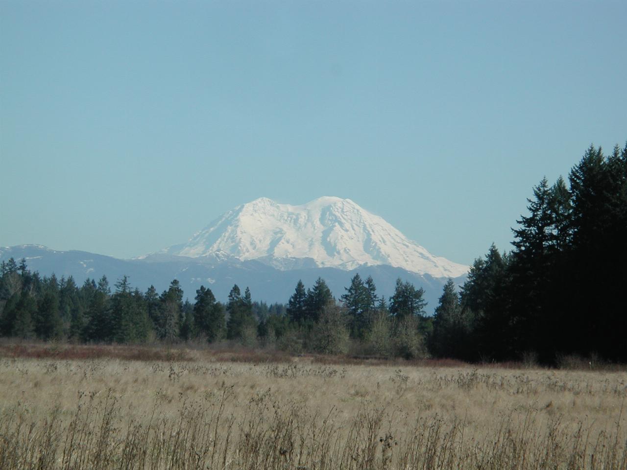
On Tuesday, February 15th, Natalie, Keiran and I headed towards Mt. St. Helens. Unlike most winters, this February has been warm and sunny, the warm part especially being relative to this area, of course!
A quick check of the web shows that the western entry is open as far as the Coldwater Ridge Observatory. Johnson Ridge Observatory is closed due to the volcanic activity. The eastern route, via Spirit Lake, is usually closed during winter. So it was down I-5 to Toledo and then off towards the mountain.

A view of Mt. Rainier from just east of Toledo, looking over Layton Prairie. This photo used a telephoto lens, but the moutain is still some 80km (50 miles) away! Amazing how tall a 14,400 foot mountain is when you are just about at sea level!
The road after Toledo continues until it joins SR504 which leads to the Observatory. Once inside Mt. St. Helens National Volcanic Monument, we reached ...
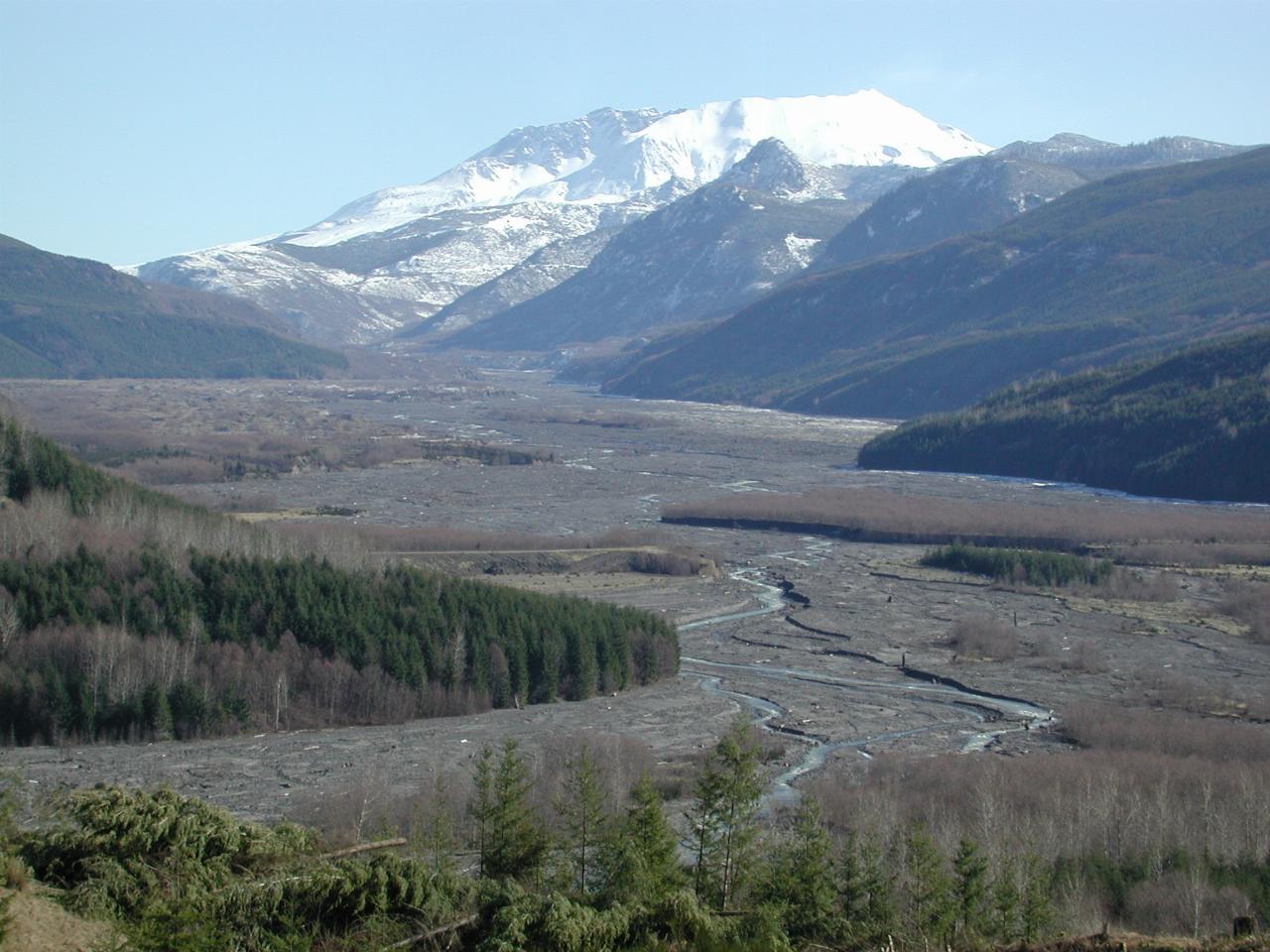
From Elk Rock, looking towards Mt. St. Helens. The crater from the eruption is quite clearly visible, although the lava dome is not. Also quite clearly visible is the mud flow down the Toutle River valley. This was the debris which flowed downstream from the combination of mountain and melting snow, and had the consistency of wet concrete. It was quite destructive, destroying anything in its way, including bridges.
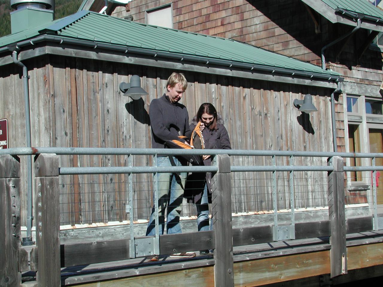
Ah, a pair of intrepid tourists looking for something or other.
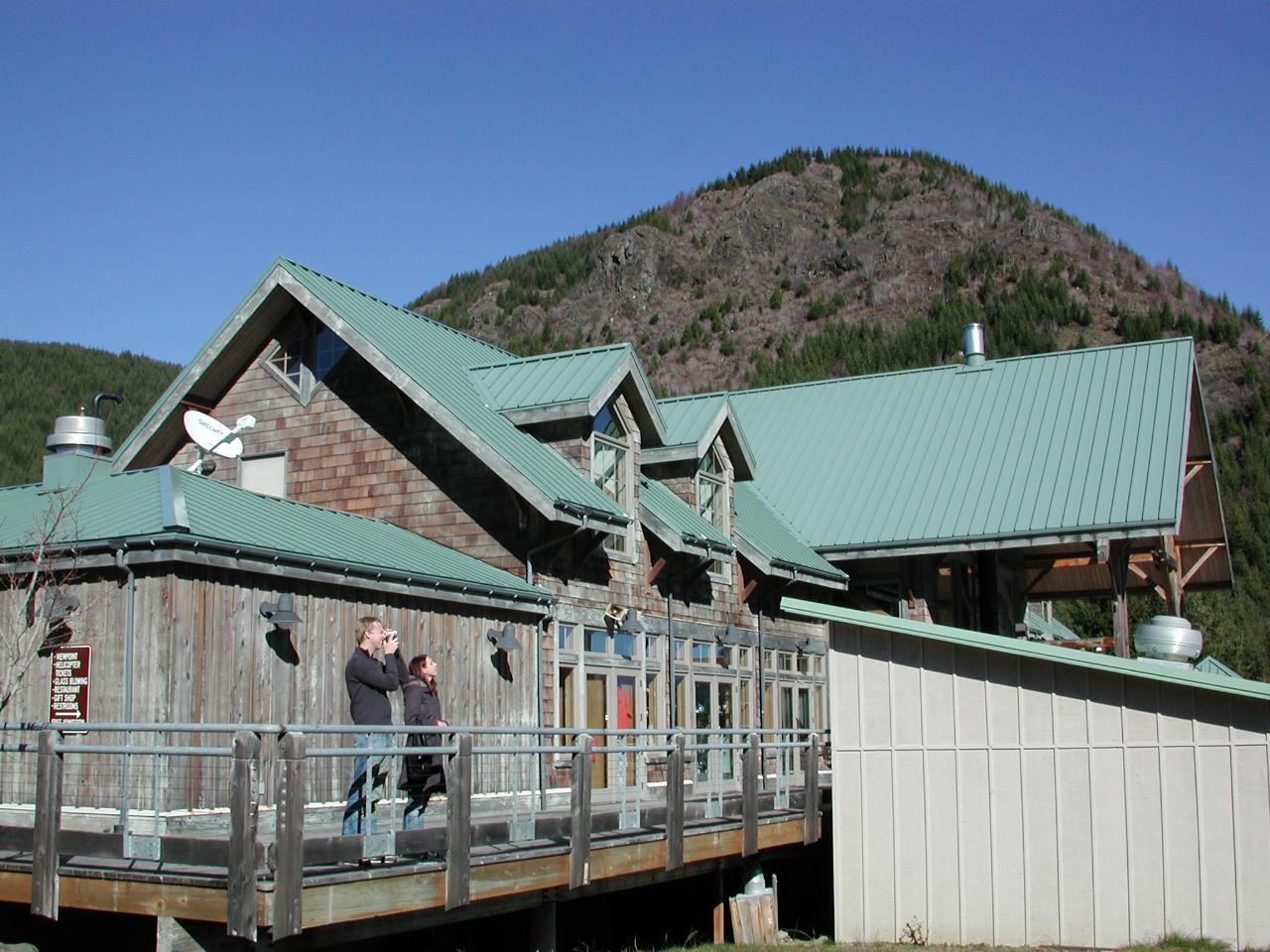
A wider angle view, showing the visitor facility too. And it needs a new coat of stain on the walls!
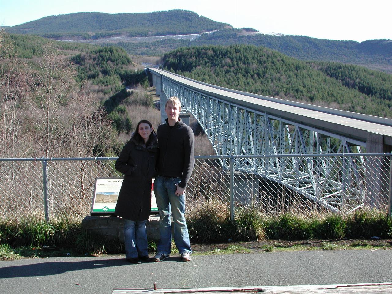
Natalie and Keiran standing by the bridge. The scar across the hillside in the distance is the road continuing into the monument area.
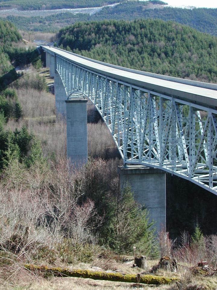
Just the bridge alone. Those are trees in the valley below the bridge, by the way!