On Friday, March 25th, my niece Kelly invited me to her place at Cronulla, for a coffee and a walk. The coffee was good, so then we went walking towards Port Hacking.

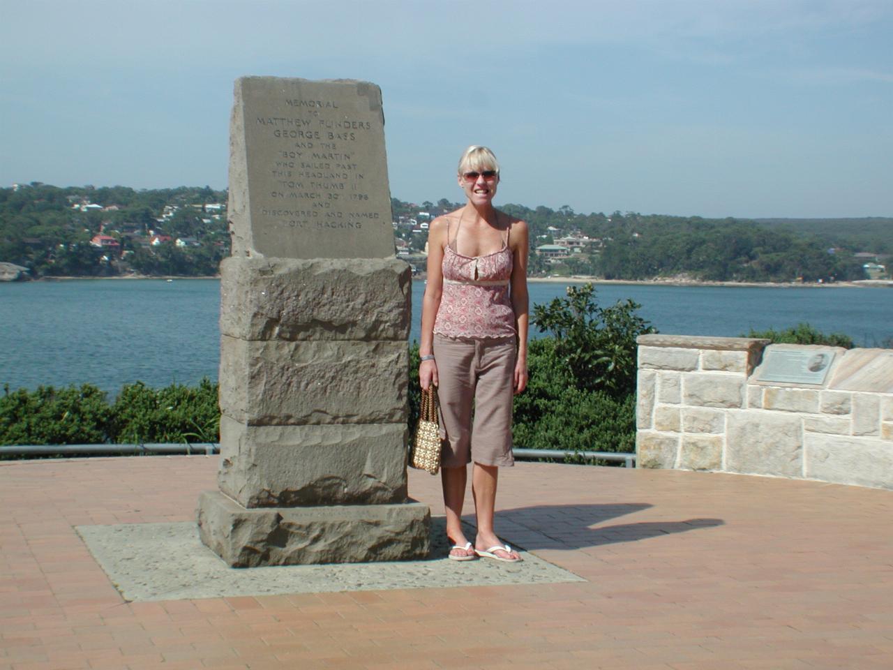
My niece Kelly at Bass and Flinders Point, which determines the boundary of Port Hacking (I believe). The point is named after Georege Bass and Matthew Flinders, two very early marine explorers of Australia.
The wording on the monument next to Kelly is: Memorial to Matthew Flinders, George Bass and "Boy Martin" who sailed past this headland in "Tom Thumb II" on March 30th, 1796 and discovered and named Port Hacking.

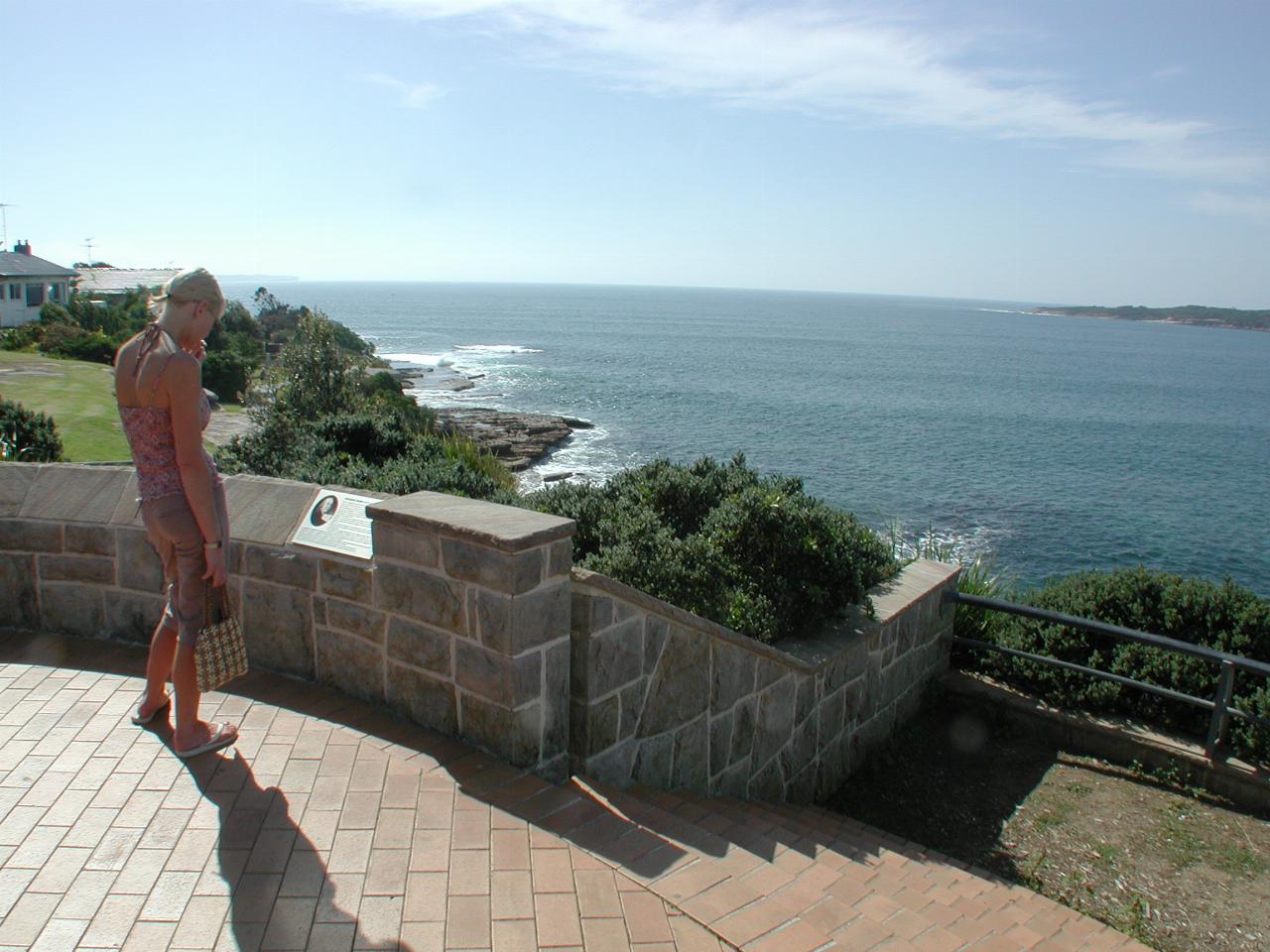
Looking past Kelly out to the Tasman Sea, with Bundeena and The Royal National Park to the right.

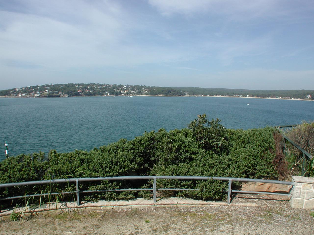
Looking south across Port Hacking to Bundeena and Royal National Park. There's a regular passenger ferry from Cronulla to Bundeena, and the boat is named, of course, Tom Thumb. The ferry wharf is about the middle of the picture, though not really obvious at this small scale.