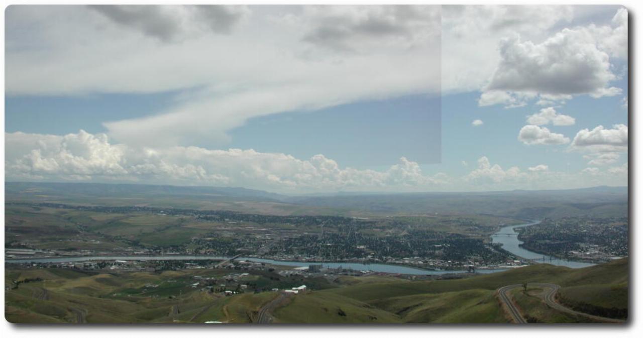
From Palouse Falls, Winnie and I headed into Lewiston (Idaho) to have a coffee and snack. One of us also needed a cash infusion - I think it was me, but it's two years ago as I write! From there we headed up the Spiral Highway (and only once!) on our way back to the motel.

Looking down from the lookout at the top of the Spiral Highway. The river coming in from the left is the Clearwater. Lewis and Clarke came down this river on their expedition. The river coming in from the top of the image and flowing out to the right is the Snake River, which joins the Columbia before reaching the Pacific Ocean. The town on the right is Clarkston (in Washington) while Lewiston is on the left. The Snake River forms the border between Idaho and Washington.
There is also a plaque at this lookout in memory of C. C. Van Arsdol, the engineer who built this road. Apart from this road, he was engaged on the Blue Mountain Highway (in North Eastern Oregon, I believe) and the Northern Pacific, Union Pacific and Grand Trunk Pacific railways.
From here it was back to Pullman and the motel. I don't recall what we did after this - I have a vague recollection of heading "downtown" for a cup of coffee or snack with Winnie.
And then it was time to head to the farm.