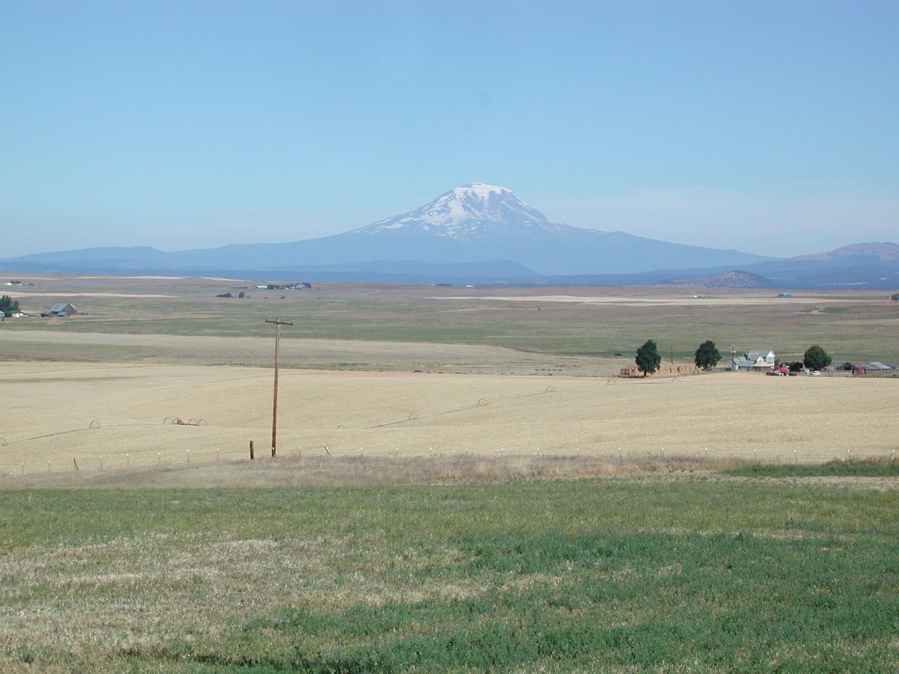

An excellent view of a Washington state volcanic mountain - Mt. Adams in this case. The sign here also pointed to Mt. St. Helens, but I could not see it (the sign MAY have predated the eruption). The top of Mt. Rainier was also visible.
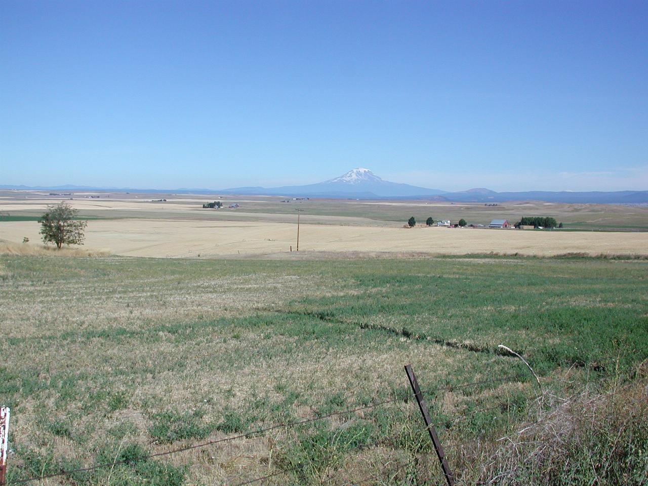
The wide open spaces - with mountain backdrop. Mt. Adams is "only" 12,276 feet high.
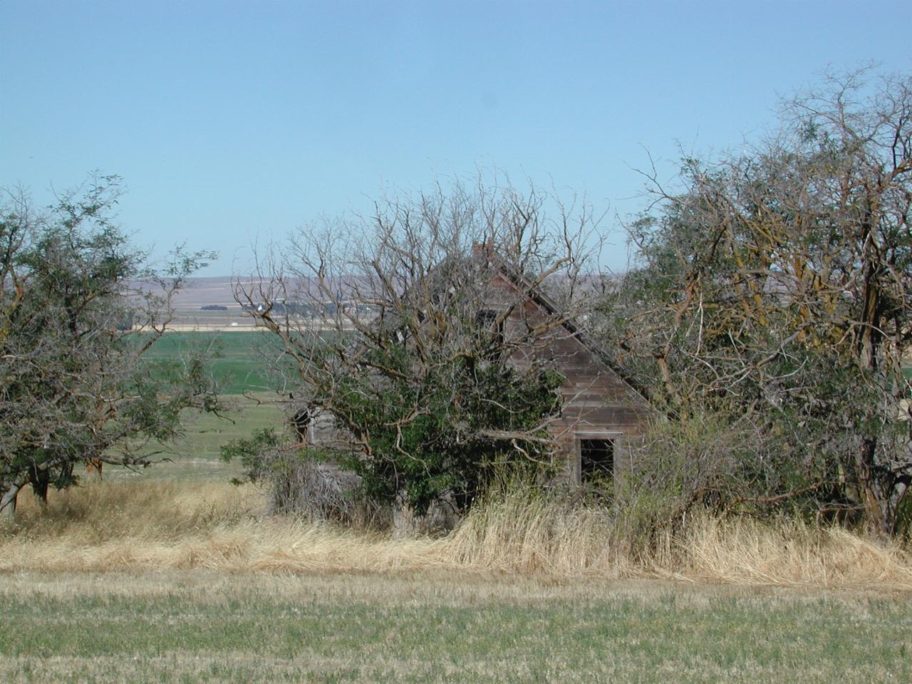
A nice fixer upper, as the real estate folks might say.
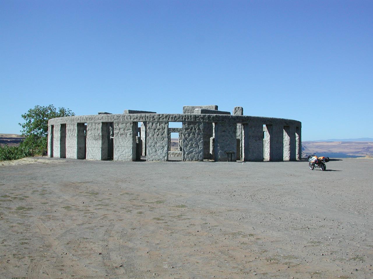
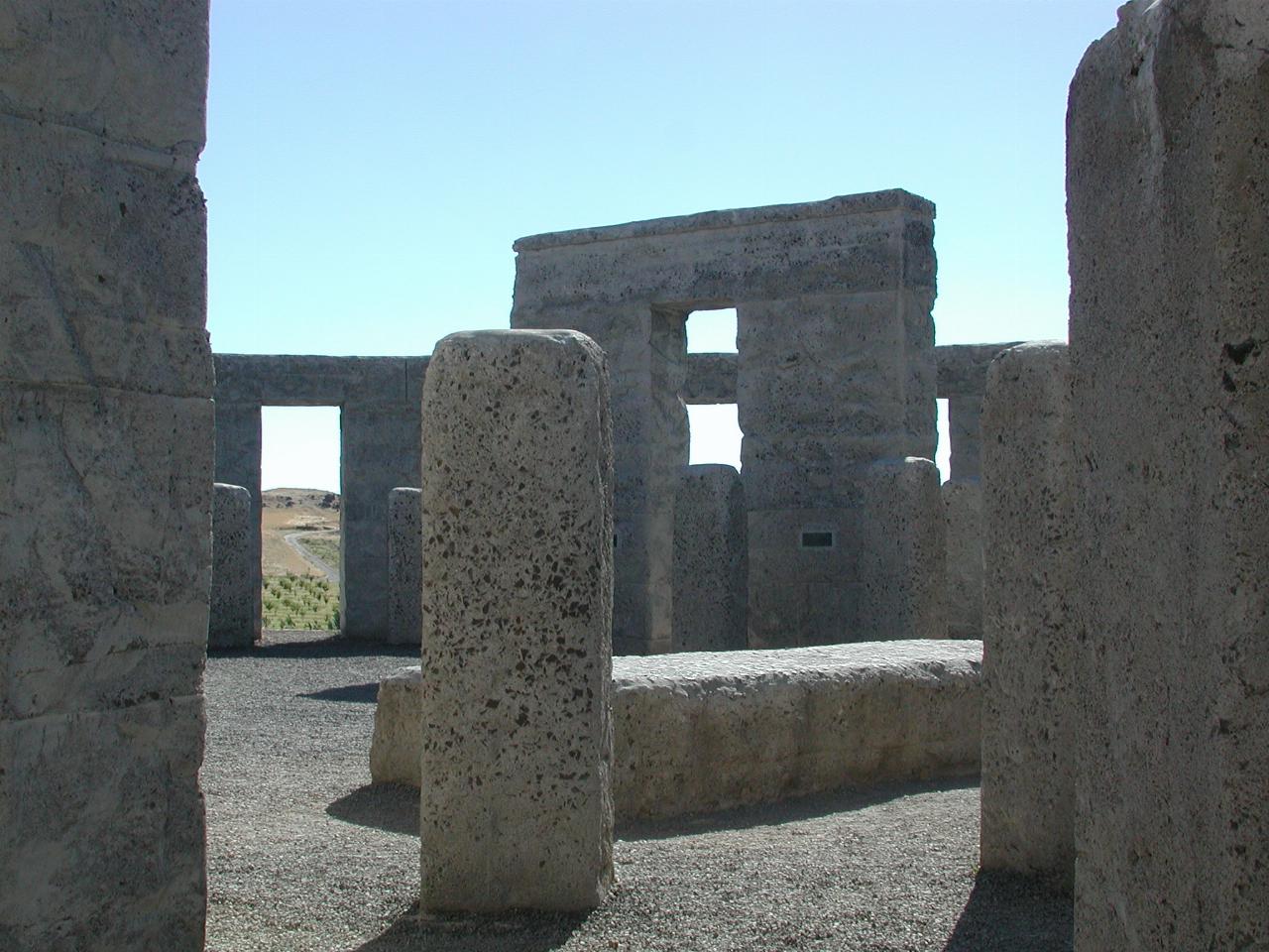
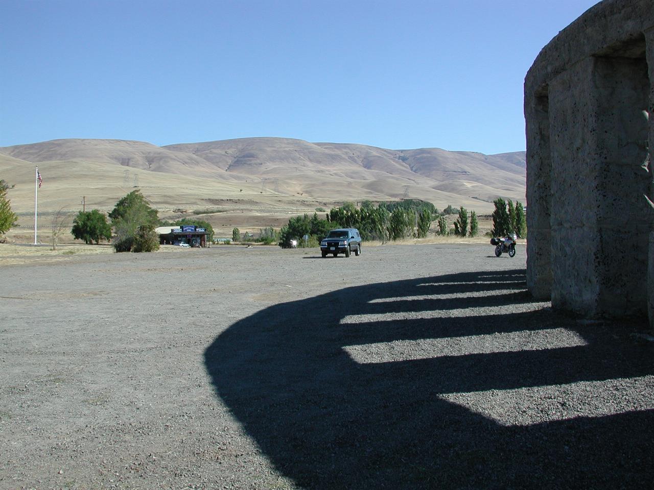
The surrounding country is certainly dry at this time of the year. You can also (just) see the gift shop where I found out how hot it was yesterday.
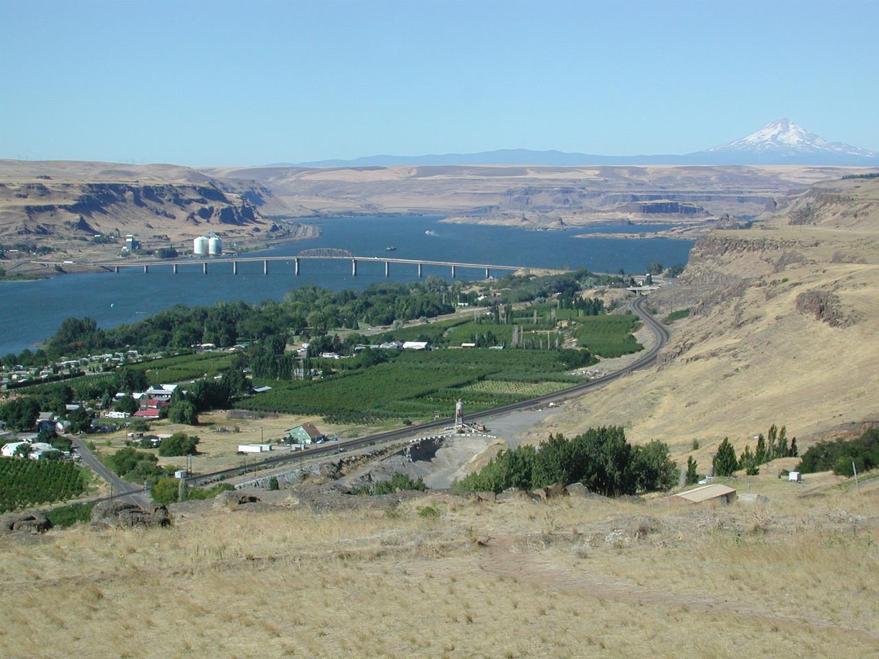
Looking west from the monument towards Mt. Hood. The bridge across the Columbia carries US-97 south into Oregon, while the small settlement is the town of Maryhill, WA and Biggs, across the river in Oregon.
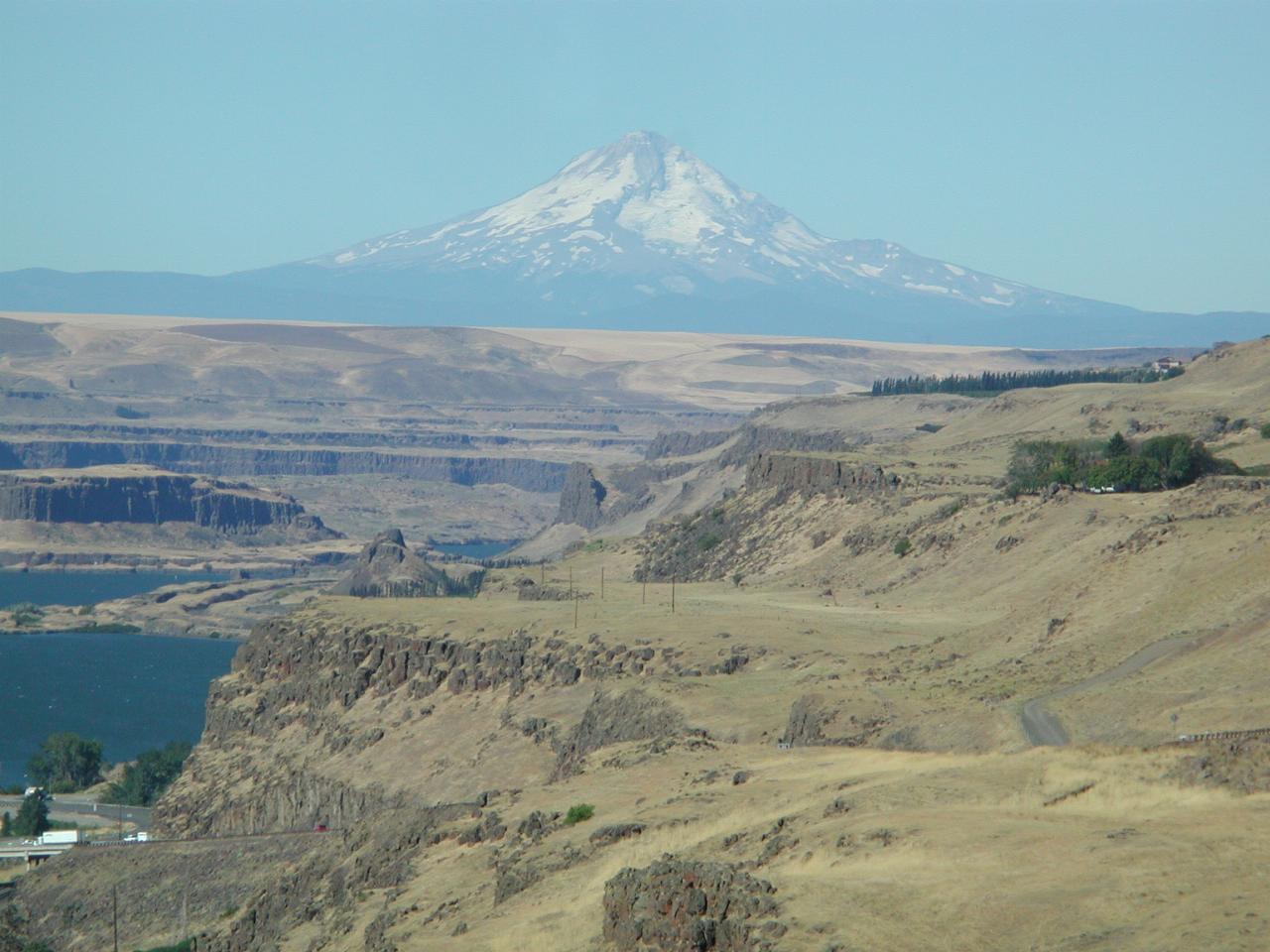
A closer view of Mt. Hood, 11,239 feet. Also visible is more of the lava flows which covered eastern Washington.
And then it was time to start for home, before the temperature rose too high. The route was to take US-97 back past Goldendale and over Satus Pass to Toppenish, where I took WA-22 to Yakima. I could have taken I-82, but I don't seem to be able to remember to do that! Both roads meet in Yakima, and there are only a few interruptions on WA-22. The road over Satus Pass is quite pleasant, and very enjoyable. North of the pass the country is fairly open and dry. Along WA-22 is mostly through orchards.
WA-22 joins I-82 at Yakima and I followed that to Ellensberg. I considered the canyon road, but didn't feel much like it this time. From Ellensberg it's I-90 over Snoqualmie Pass to I-405 and home. The ride up to Snoqualmie Pass was in beautiful, clear blue skies. But at the pass, the clouds arrived, and the temperature fell. I kept wondering when it was going to rain, and/or would I need to get the rain gear out. I did close the vent zippers on my jacket.
However, the rain held off, and by the time Issaquah rolled past, the clouds were starting to break up, and by I-405, the sky was clear and more glorious sunshine, but lower (and pleasant) temperatures were the order of the day.
I had no unpleasant surprises, and little law enforcement activity. The usual Ellensberg speed trap had a customer, but I almost expect that. On Friday (the hot day) I saw two semi-trailer accidents. Neither looked very good. One was on US-730 near the border; truck was upside down in the ditch between road and railway; the top of the cab looked to have been flattened, but I had only a quick glance passing. The other was on WA-14; the trailer part was a real mess, and the contents over the side of the road; no sign of the prime mover, except it's hood was on the road.
Total trip was almost 1400 miles over 4 days. A wonderful escape.