Continuing from Chinook Pass, SR410 drops down to Cayuse Pass. which at 4,675 feet is considerably lower than Chinook Pass. One could argue about whether this is a true pass, after coming over Chinook Pass. It is for those coming into Cayuse Pass from the south, along SR123, but that wasn't me!
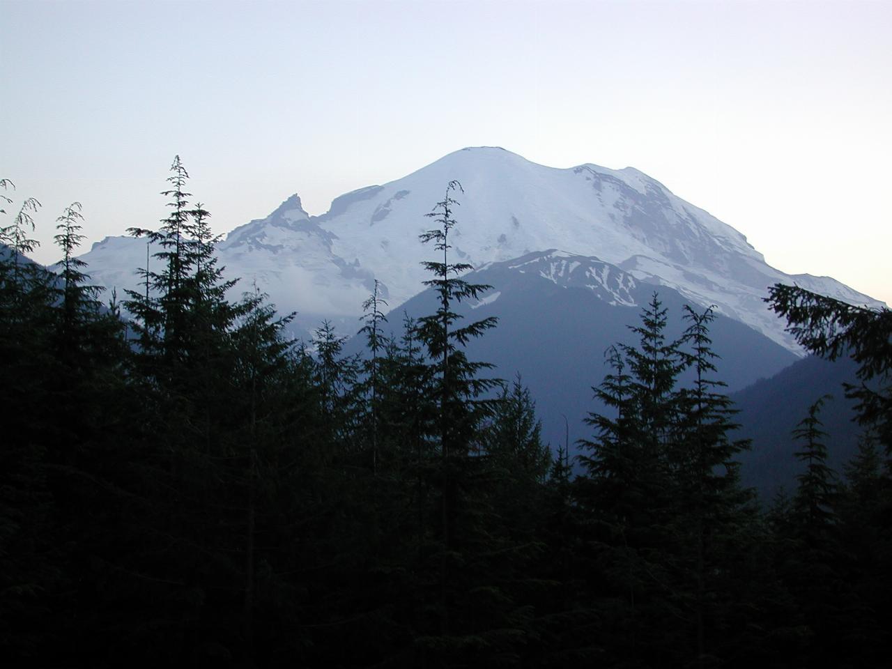
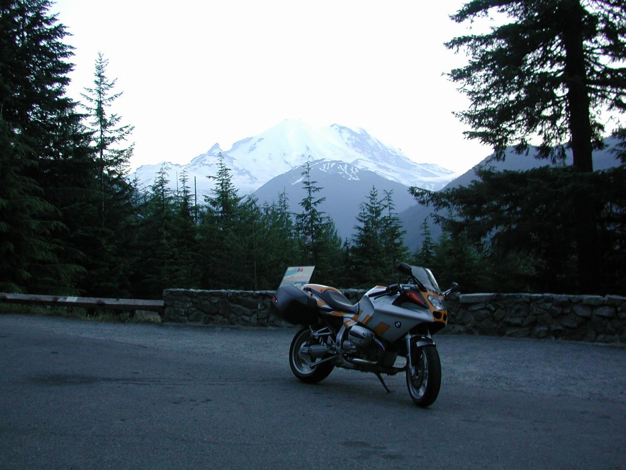
As the road descends to meet the White River and follow it out of the park, there is a lookout to view the mountain, for the last time on this journey. This is located near the turnoff to Sunrise.

Those trees will have to be trimmed soon, or there'll be no view of the mountain!

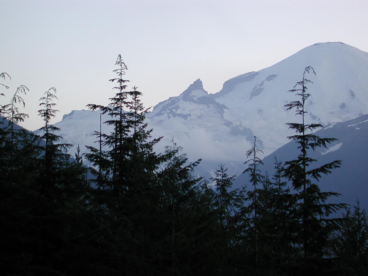
Not too easy to discern, but there are some clouds located at about the middle of this picture.

It was getting pretty dark by this time, so the top of the mountain washes out.
From here, it was a straight forward journey home via Enumclaw and Maple Valley to I-405, reaching home about 10:45.