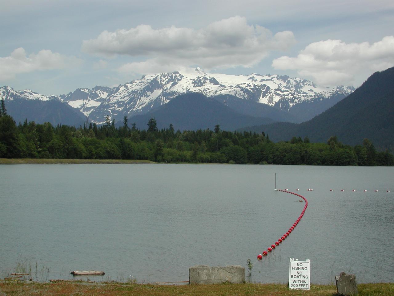
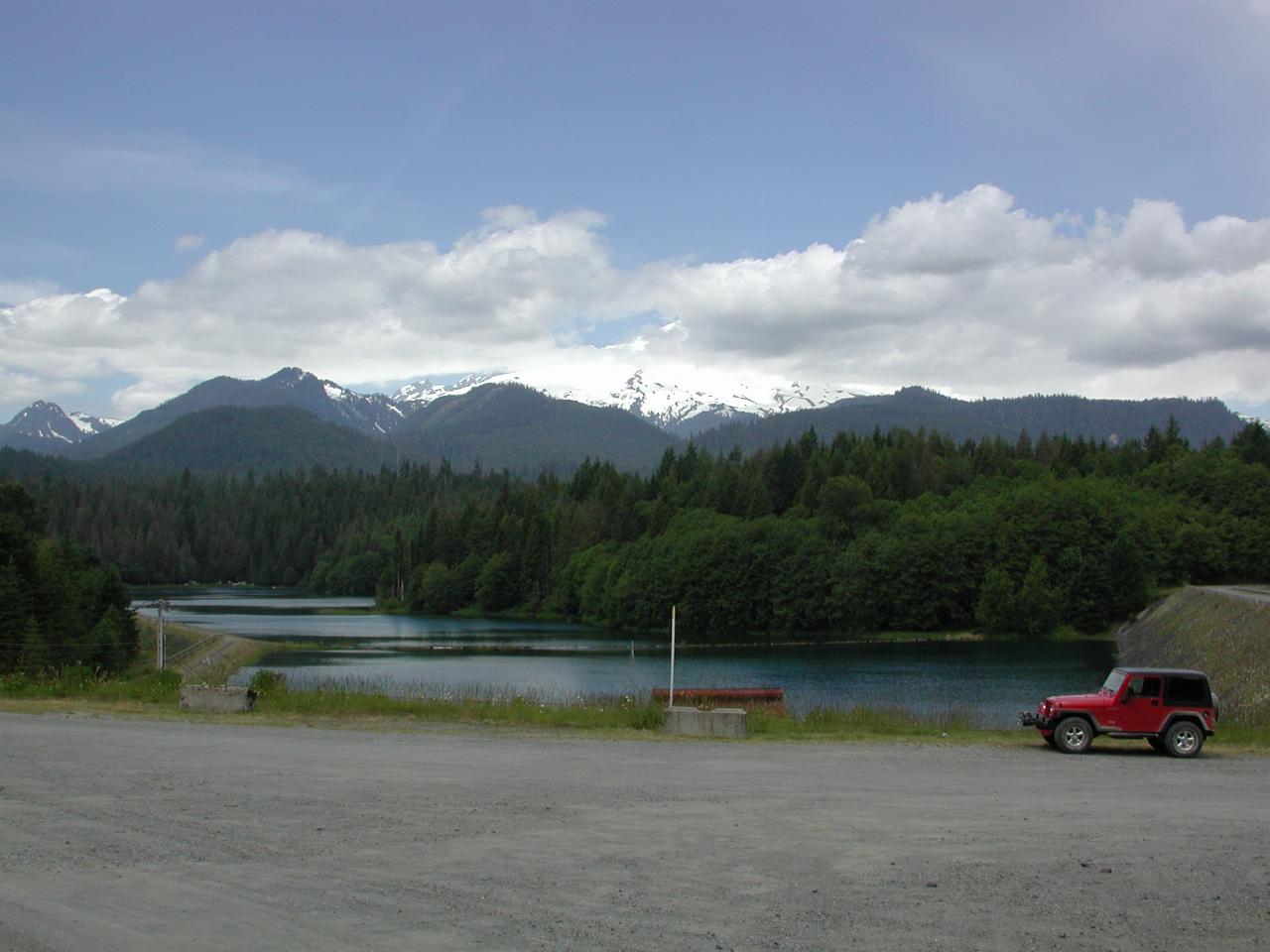
Looking towards Mt. Baker, which is obscured by the clouds. The wall on the right holds back the water of Baker Lake. On previous visits, the area in the centre was pretty much dry. There is a pumping station to move this water into Baker Lake itself. There's also an overflow, seen in a later image.
I think this area is used to catch water that would not otherwise flow into the dam due to the level. By storing, and pumping it into the dam during off-peak times, it effectively forms an energy storage function.

The top of Mt. Shuksan disappears in the clouds too. Note that Baker Lake is now full.
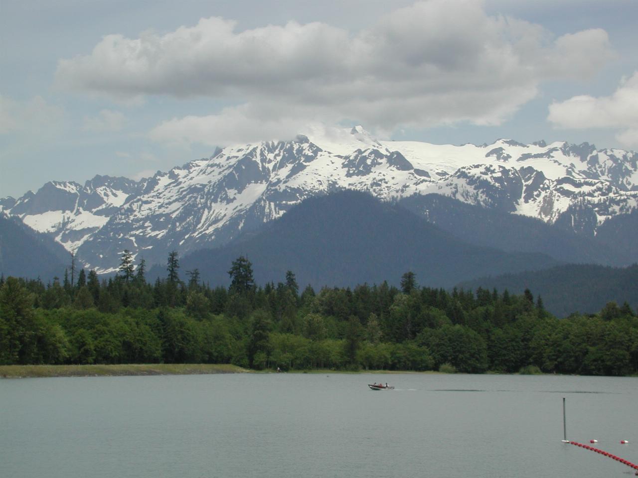
A closer view of Mt. Shuksan and the full Baker Lake, being enjoyed by some boaters.
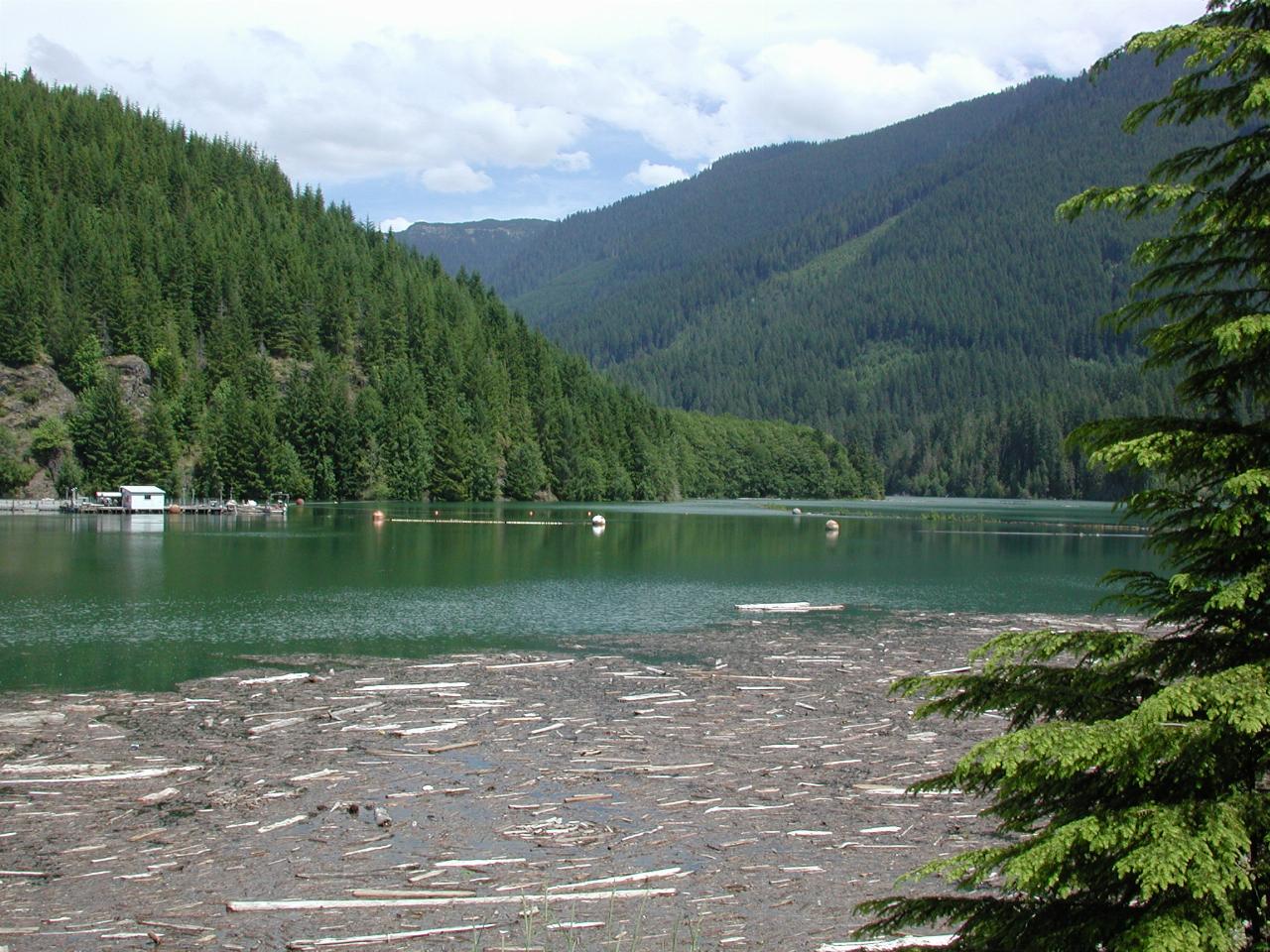
Flotsam behind the dam wall at Baker Lake.
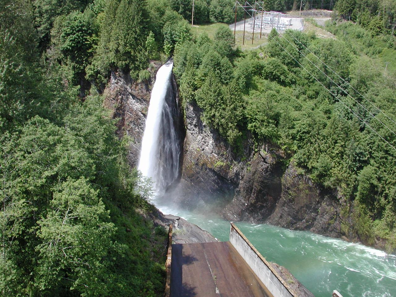
I think this is overflow water from the storage area mentioned above in the description of the top photo. Since the lake is full, there's no sense pumping extra water into it, so it is allowed to bypass the dam, thus creating this waterfall. The dam power station is just to the right of this picture, and water coming from it is causing the turbulence.
The cement structure in the lower left is the dam spillway. The wetness may be caused by recently spilling water, or just seepage at the control gate.
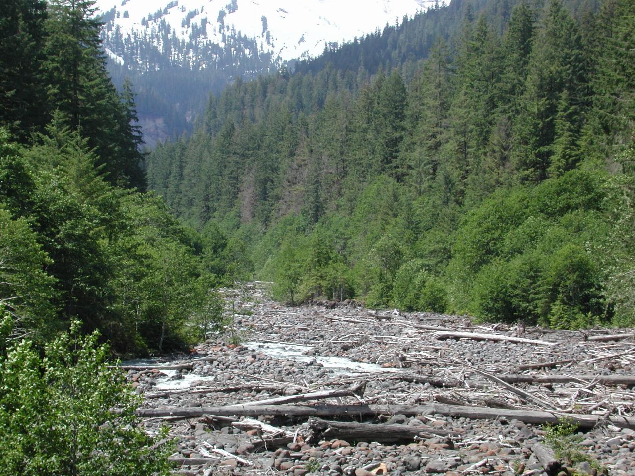
Boulder Creek is still just a trickle. But seeing how much snow is still on Mt. Baker (top of picture) it's not clear to me whether the rush (assuming there is one) has happened yet. My guess is that it has.