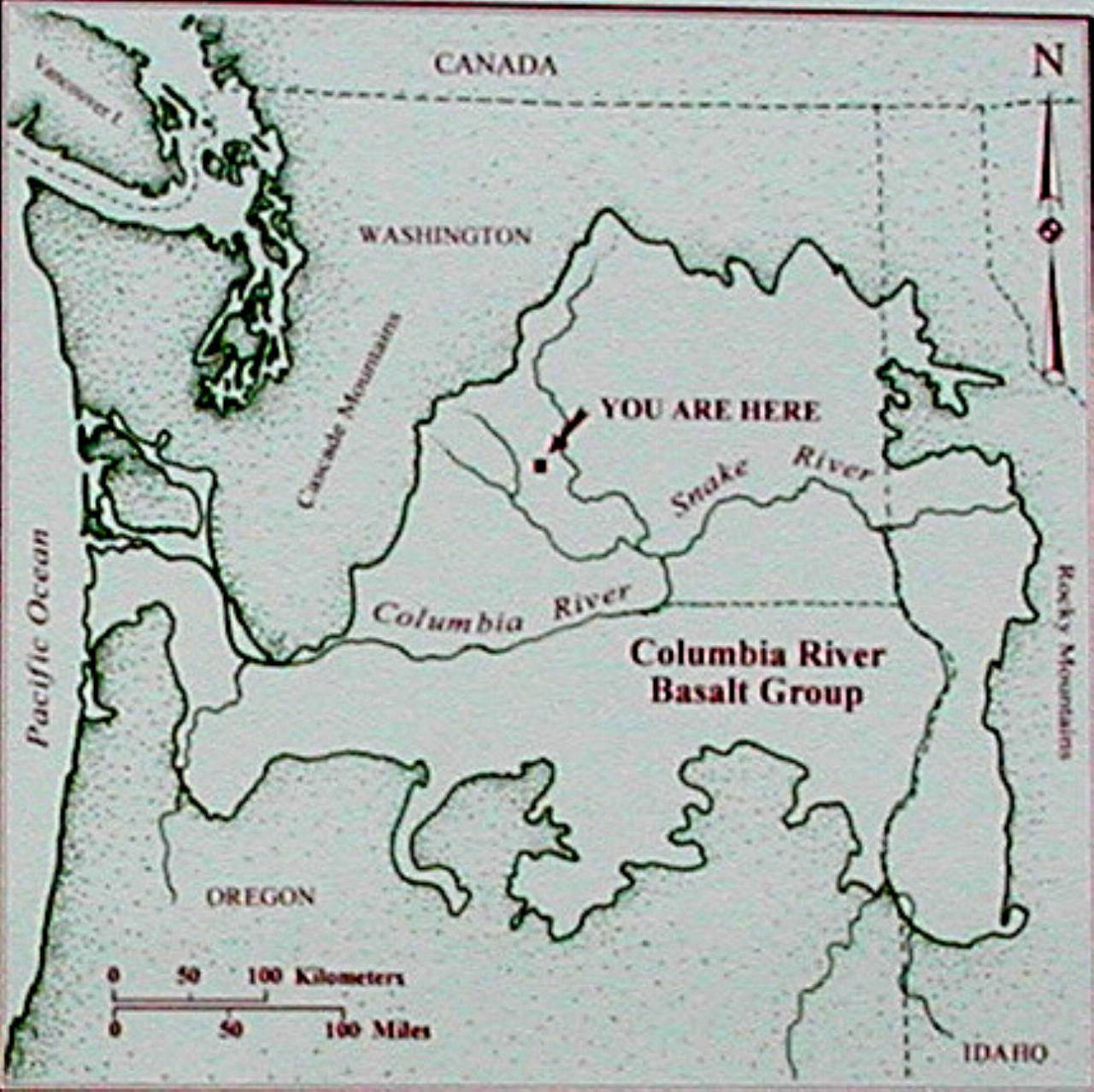

A map showing the location of lava flows in the northwest. The following description is the text of the information board at the Ryegrass Rest Stop.
Imagine standing here millions of years ago on the edge of a huge plain fringed by distant mountains. Cypress trees grow in the swamps. Maple, sycamore, ginkgo, sequoia and fir cover the nearby hills and mountains. Ancestors of rhinoceroses and camels feed on the lush vegetation.
Then, this peaceful scene is disturbed by lava welling up from within the earth and rushing across the land. The flow covers tens of thousands of square miles, burying forest, rivers and swamps. As it cools, the lava solidifies into rock called basalt. Scientific evidence indicates that dramatic events such as these occurred repeatedly between 14 and 18 million years ago.
Beneath your feet are more than fifty lava flows, each having gushed from cracks in the earth more than 100 miles to the east. The uppermost is the Kelly Hollow flow, nearly 200 feet thick here. It continues nearly 200 miles southwest to the Oregon coast.
As you continue east, watch for the layers of basalt in the road cuts and canyon walls. The remains of the ancient trees entombed in the basalt may be viewed at the Ginkgo Petrified Forest State Park. Beyond the park, basaltic cliffs of the Columbia River have been carved by Ice Age floods.
