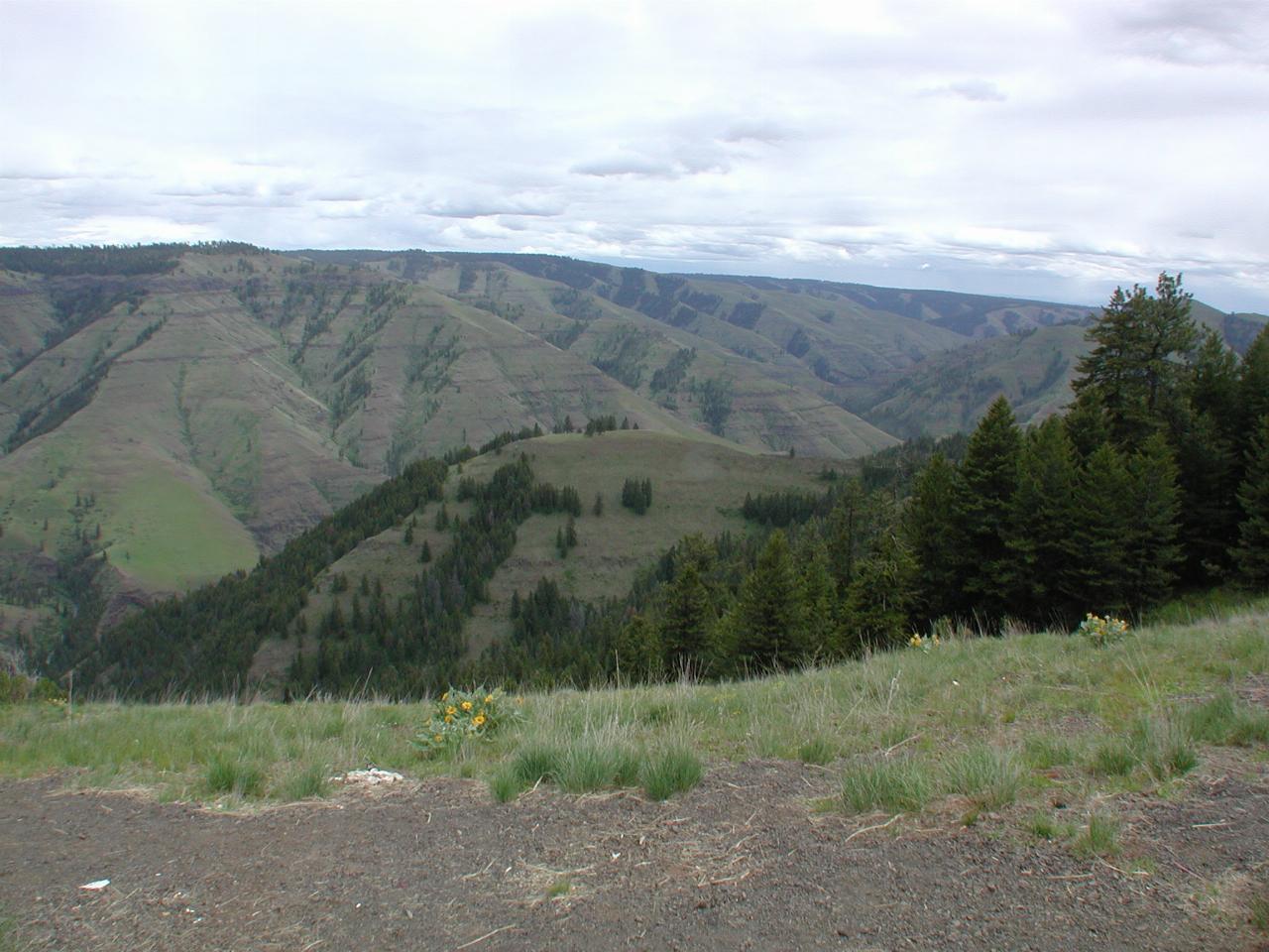
After climbing from Boggan's Oasis (on Rattlesnake Grade), the road, (Oregon) SR 3 travels along a plateau before gradually descending into Enterprise. Along the way, there is a view point overlooking Chief Joseph Canyon, where there is a display board with information about Chief Joseph and the Nez Perce Band.

Looking across Joseph Canyon (roughly south east).
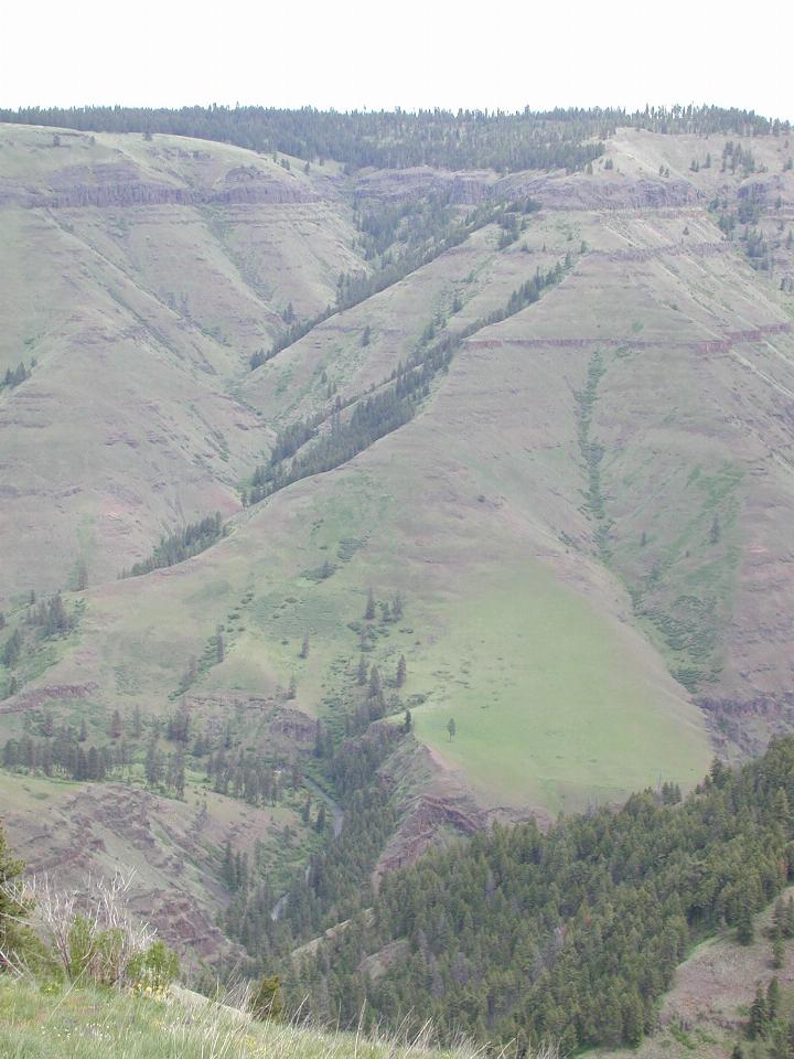
From rim to bottom.
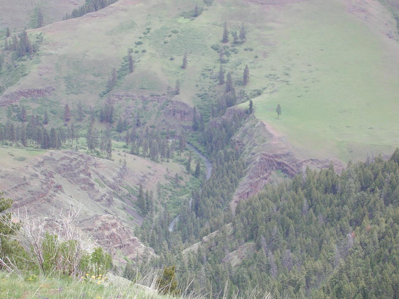
Joseph Creek at the canyon bottom.
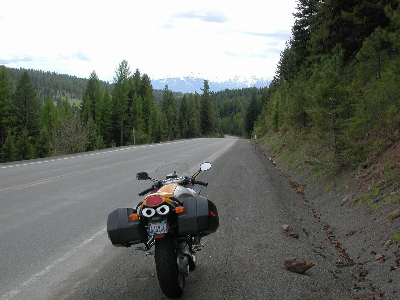
The Wallowa Mountains, as seen from the road to Enterprise.
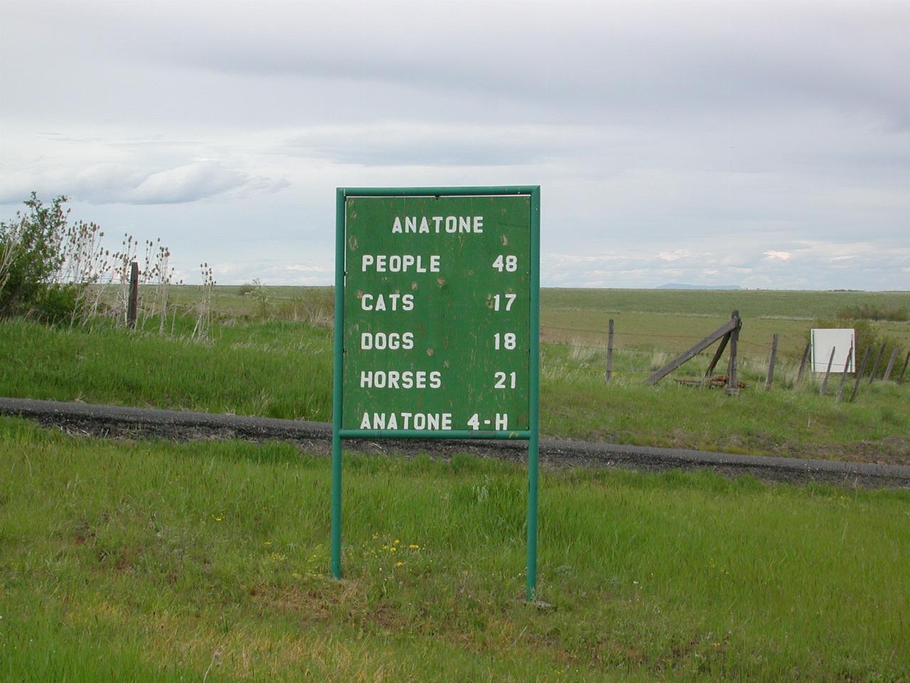
Census data for the tiny hamlet of Anatone, WA. Obviously they are very conscientious about enumeration.
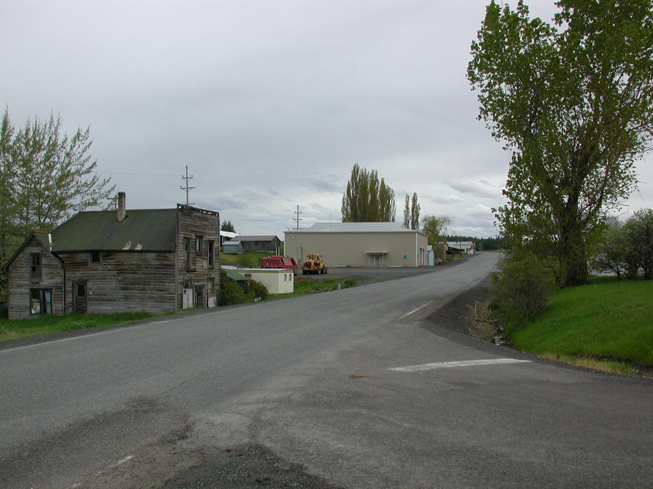
I could say this is the Main Street of Anatone, but in fact it is the only street!
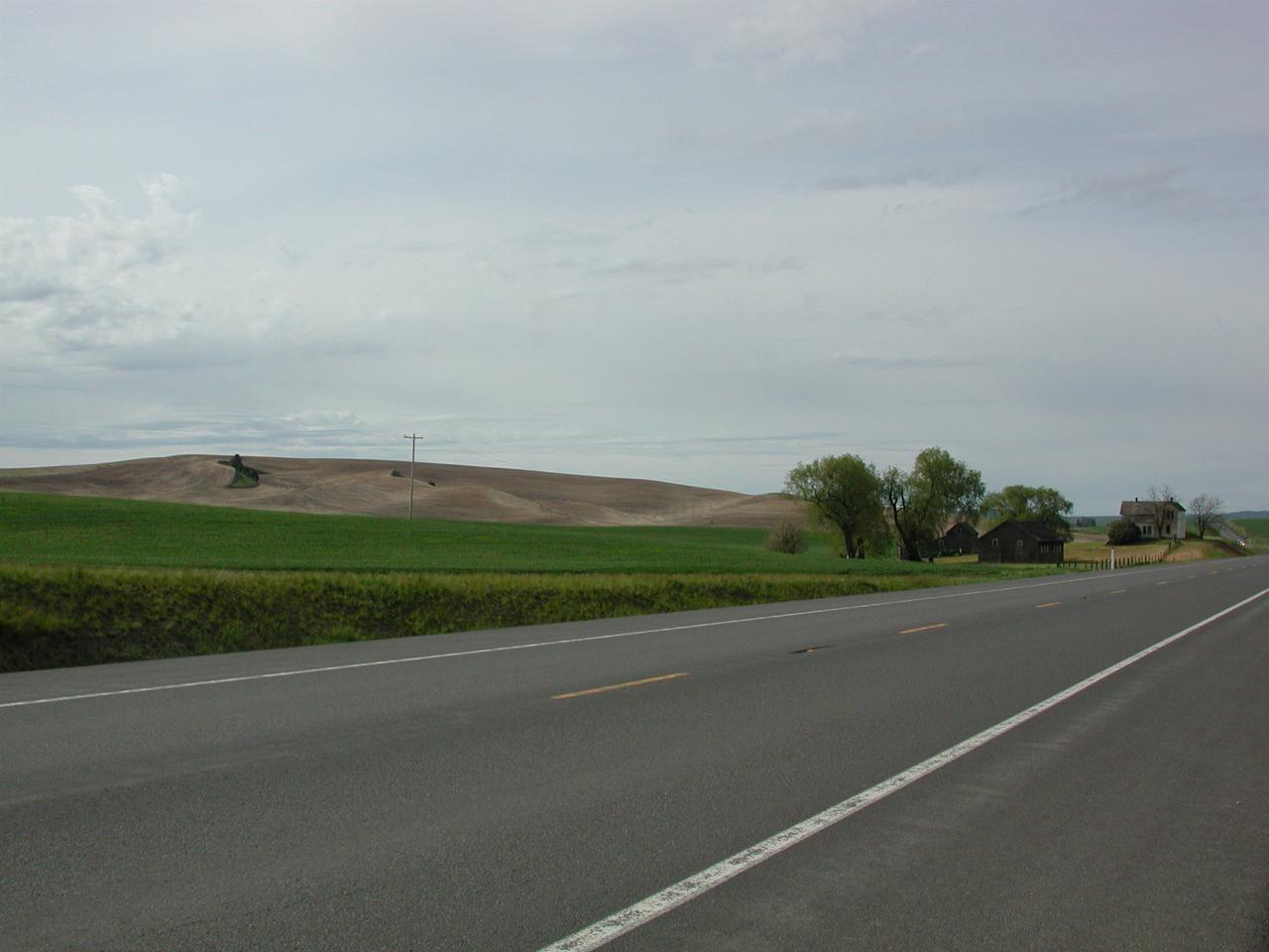
Typical Palouse landscape - it looks somewhat like cultivated sand hills. And there's a good reason for that - the dirt blew there in the first place!
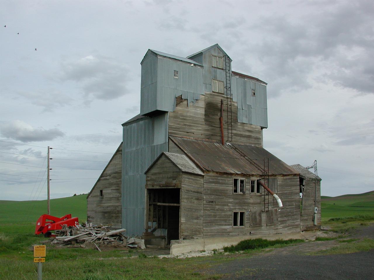
A fixer-upper. A handyman's delight. Typical description which a realtor might use to describe this slightly the worse for wear grain elevator. I (a city boy!) couldn't tell whether it is still used.