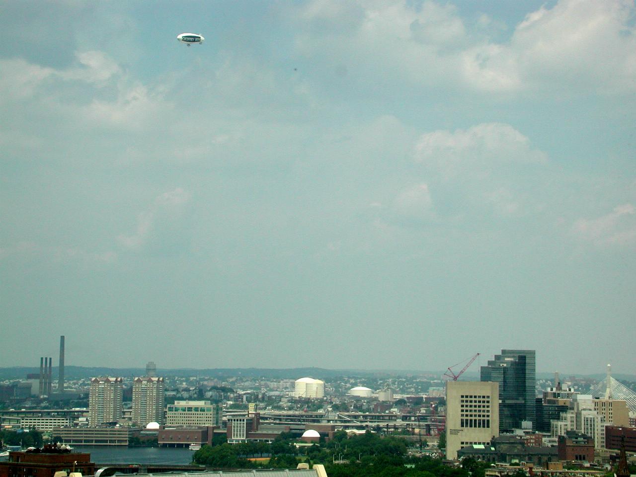

Looking to the north west.
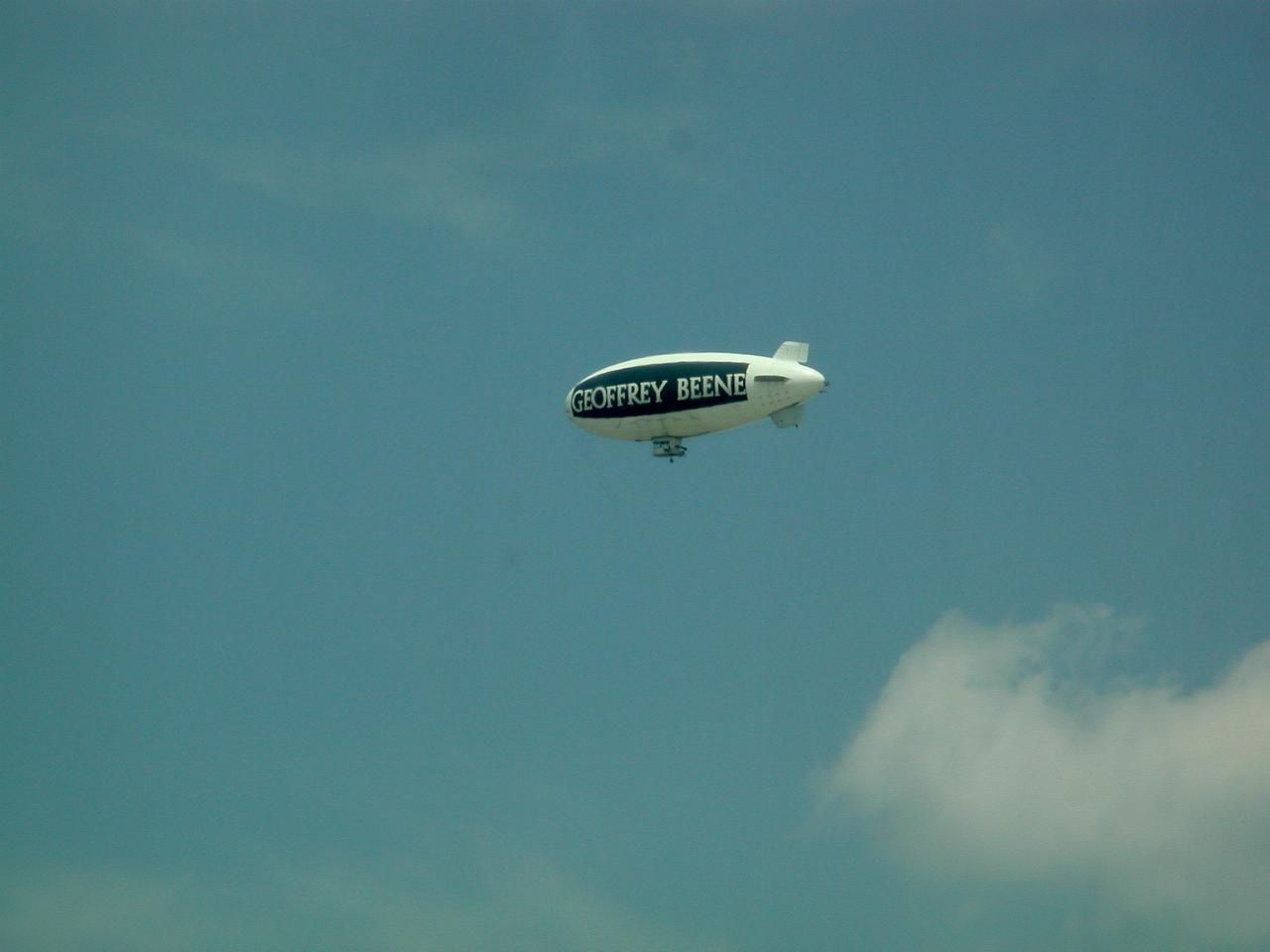
Geoffrey Beene was one of New York's most famous fashion designers, recognized for his artistic and technical skills and for creating simple, comfortable and dressy women's wear.
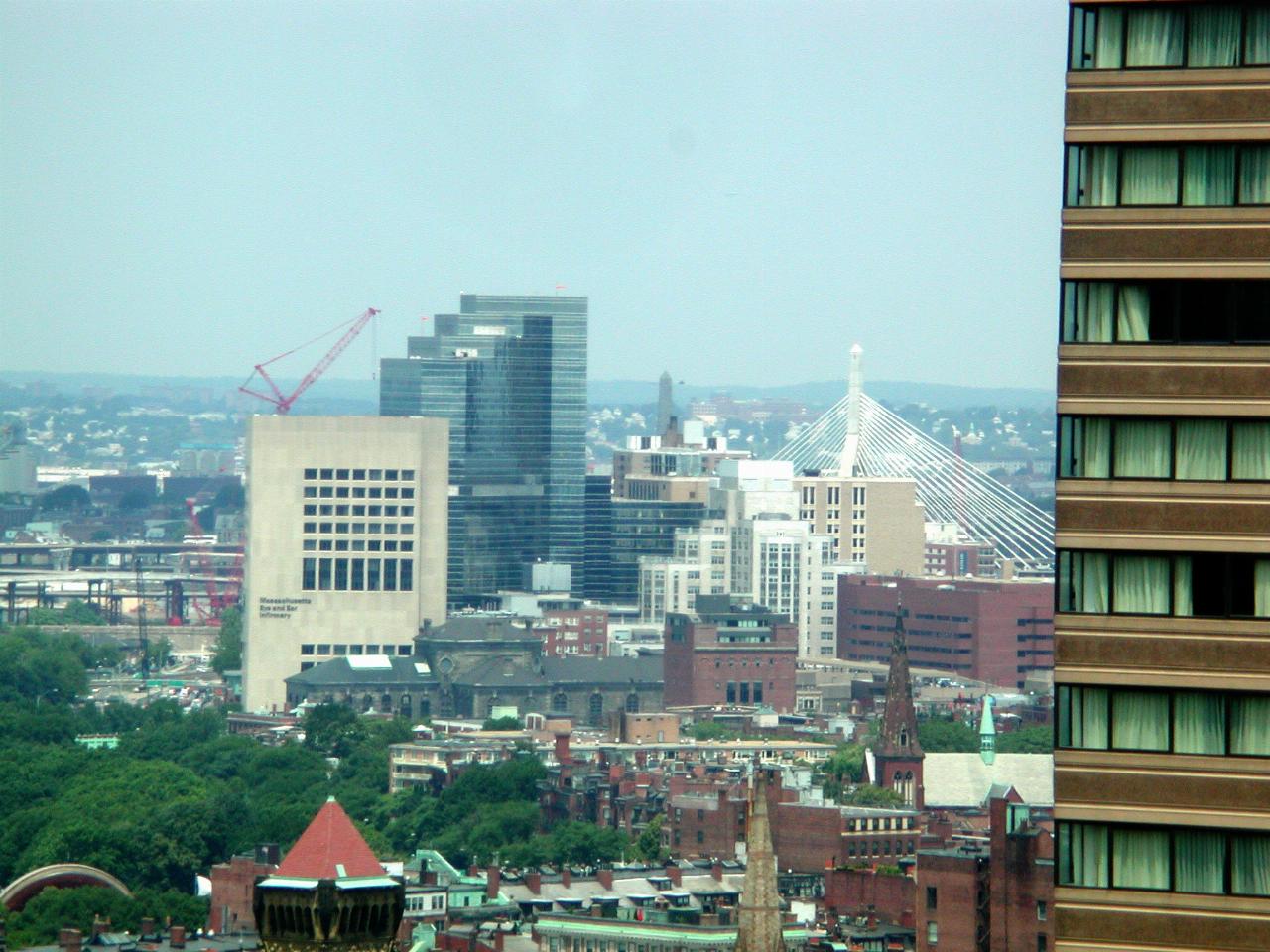
The building on the left is the "Massachusetts Eye and Ear Infirmery" Also visible is a new bridge, using the same design ideas as the Anzac Bridge in Sydney. And only just visible between the bridge tower and the dark, stepped building, is the Bunker Hill Monument. At 221 feet (67 metres) it was the highest point in Boston when completed in 1843. The tower is located at Breed's Hill, which is adjacent to Bunker Hill. This is the site where the first shots of the War of Independence were fired on June 17th, 1775. The colonists were defeated, but inflicted about 10 times the casualties on the British as they received. Two weeks later, George Washington arrived in town and organised the troops into a properly trained army.
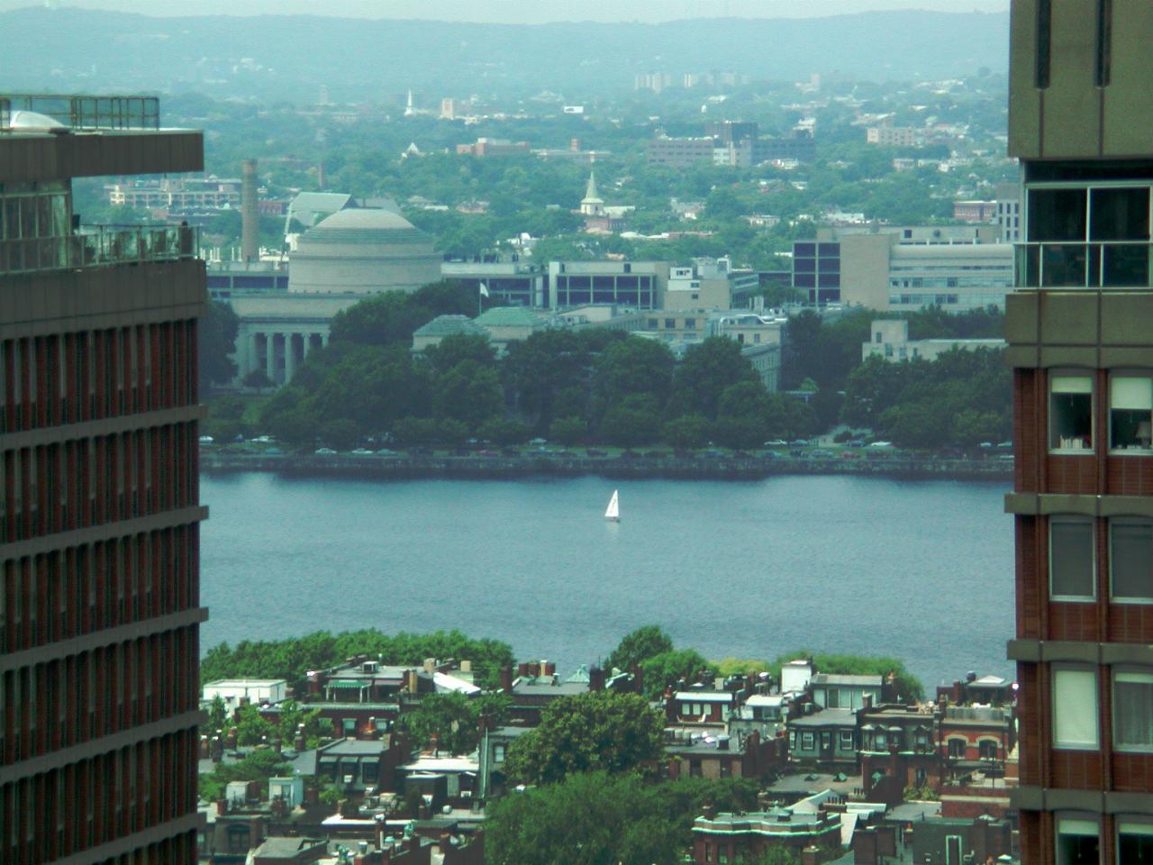
MIT from the Marriott. The buildings on each side are apartment towers.
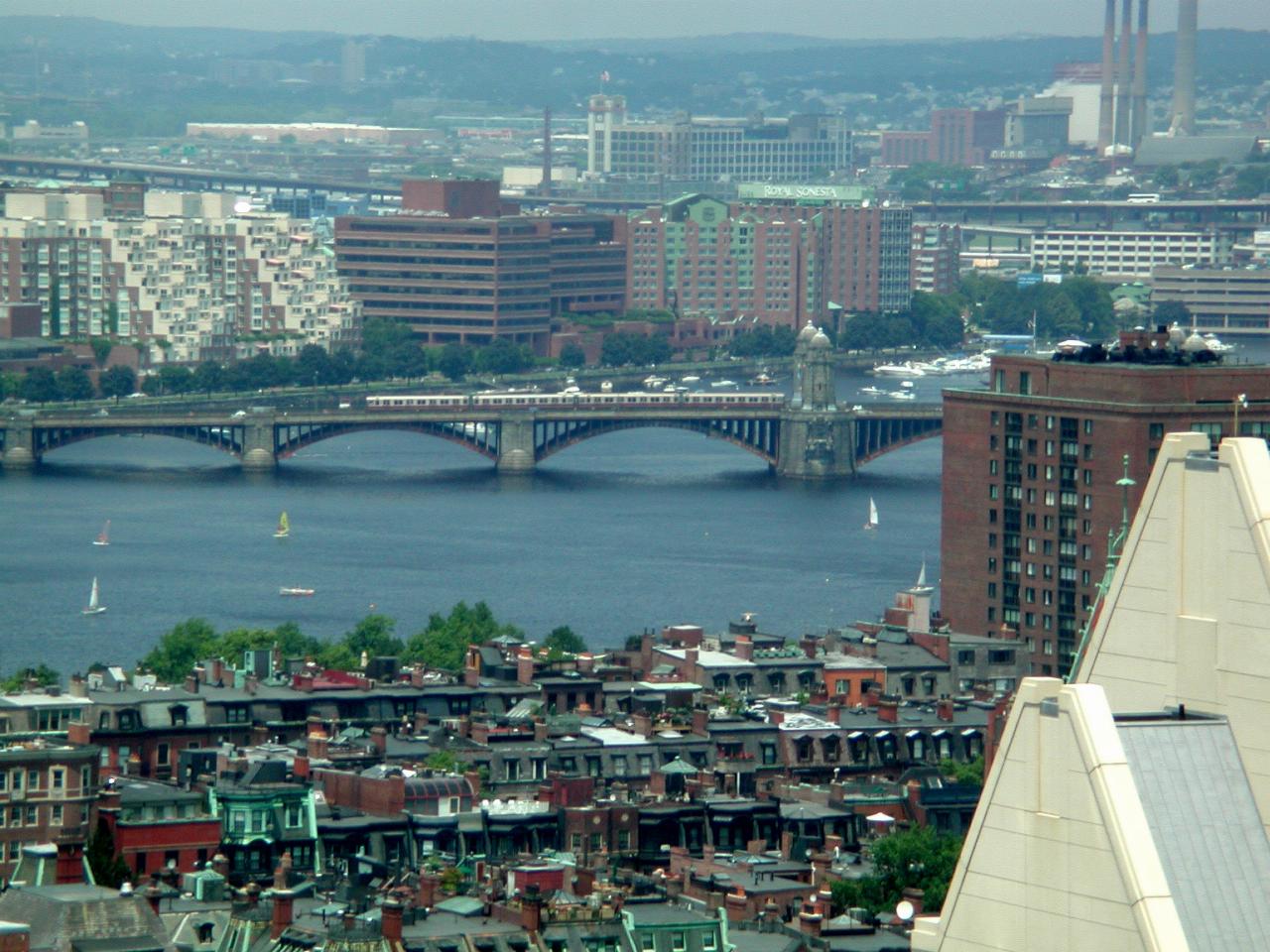
Longfellow Bridge, with a Boston train crossing it. That's the line which runs to MIT, Harvard and beyond.
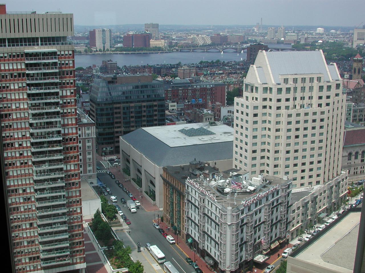
Copley Plaza, and the Copley Square Hotel. Copley Square is to the far right of the image.
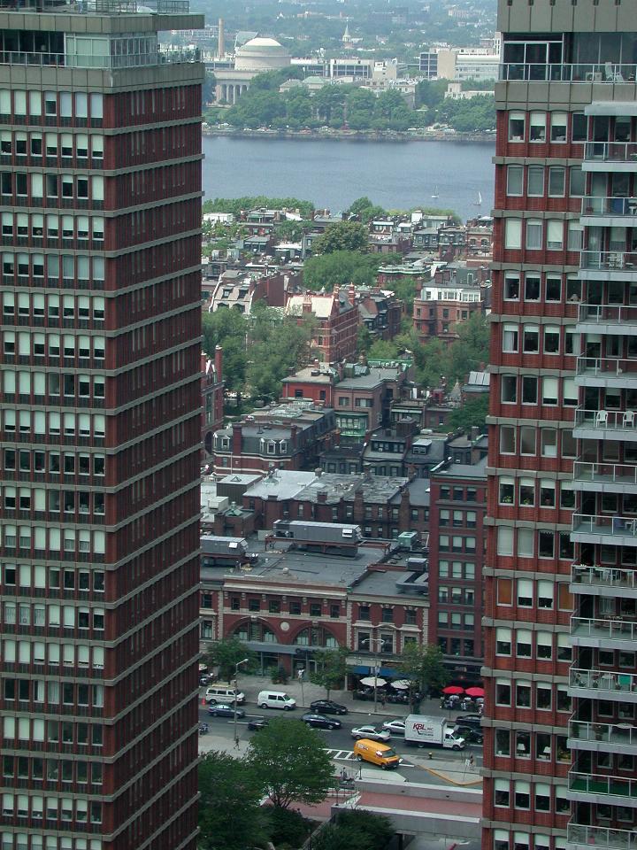
View between the apartment buildings, across the Backbay area, over the Charles to MIT.
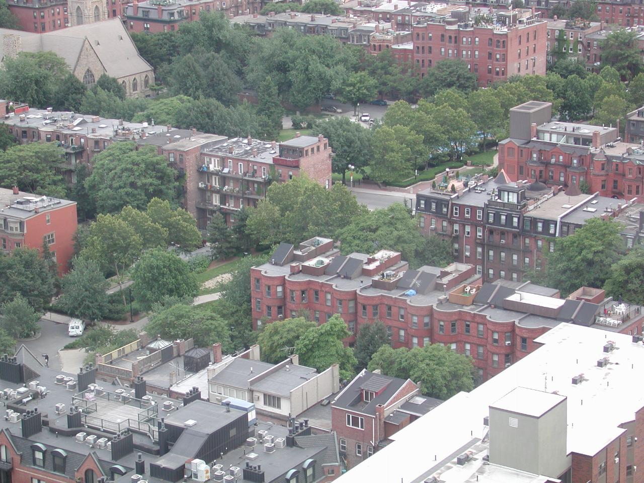
The view out my hotel room, looking down into the row or terrace housing in this neighbourhood. As this is quite close to downtown, I expect these are not cheap. Some appear to be new construction.
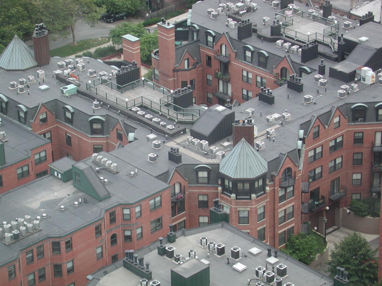
Close up of one of the newer looking sections. The little box type things on the roof are air-conditioning units. Given the high humidity and temperature of Boston summers, air conditioning would be highly desirable.
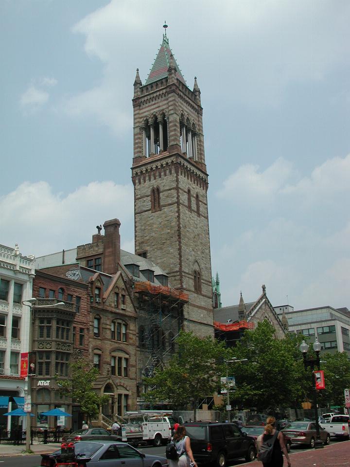
Near to Copley Square is a quite old church, currently undergoing significant renovations. It's the "New Old South Church", as seen here from Boylston Street.
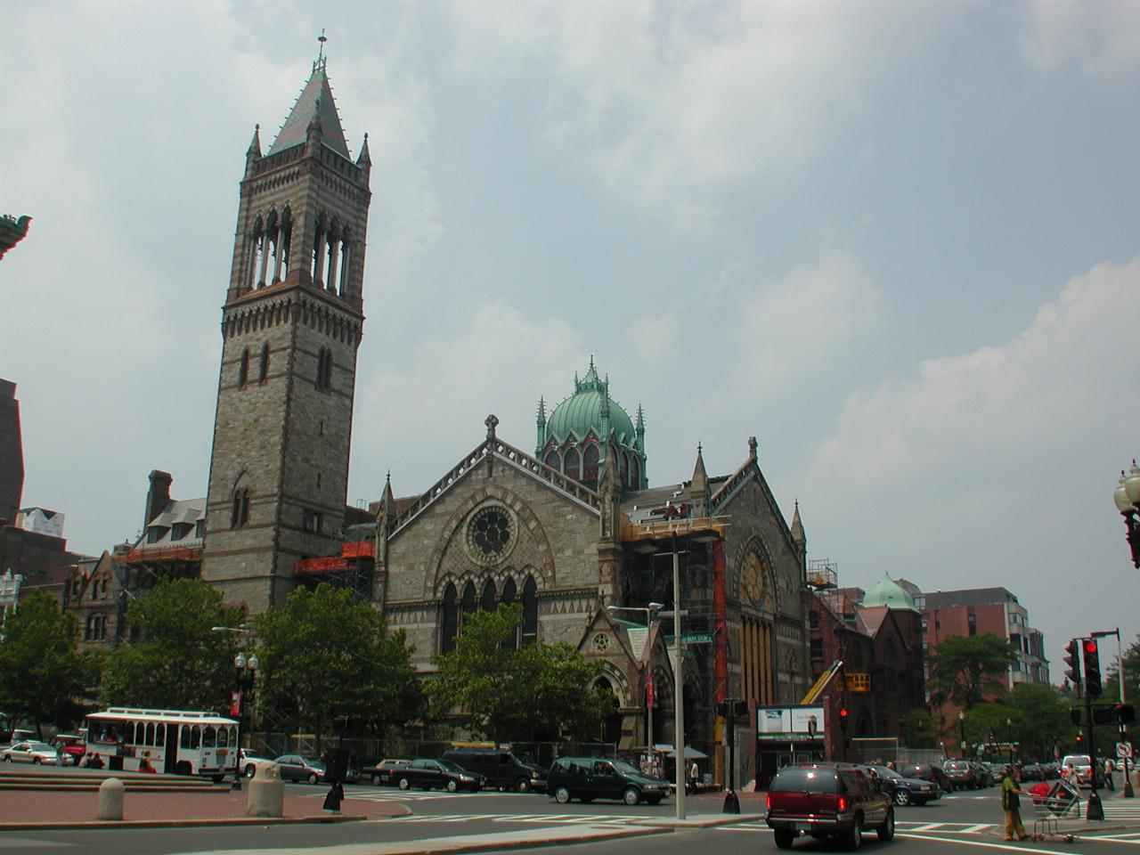
As seen from Dartmouth Street, at Copley Square
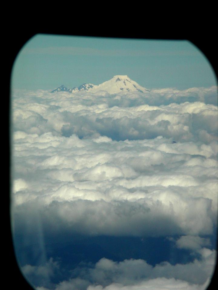
Mt. Baker, sitting majestically above the clouds.