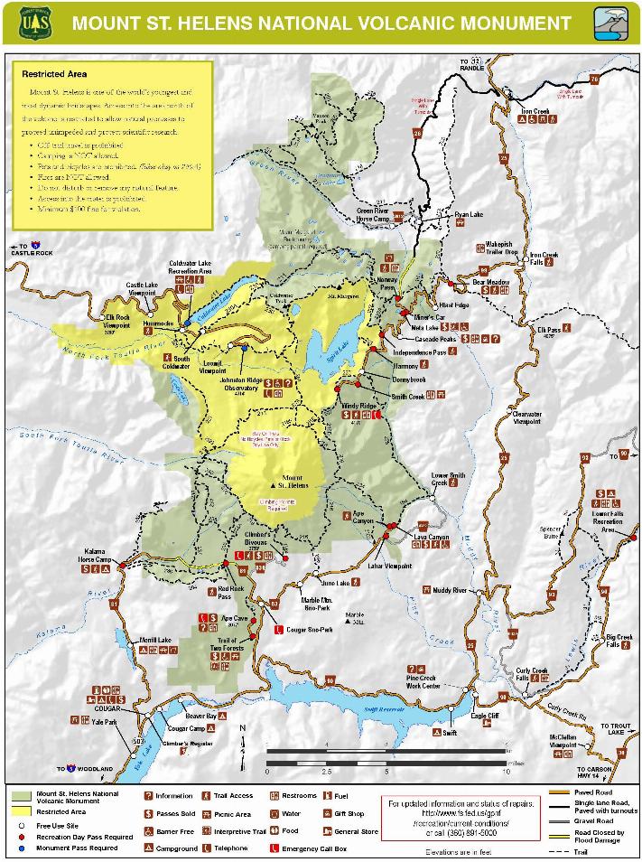
This Forest Service map (shown here) locates the major points around the crater. The Forest Service web pages about the Gifford Pinchot National Forest has more details. The forest is named after Gifford Pinchot, the first chief of the Forest Service.

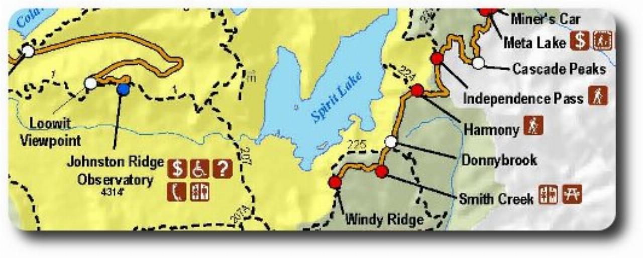
This map is a close up of the road to the south east of Spirit Lake.
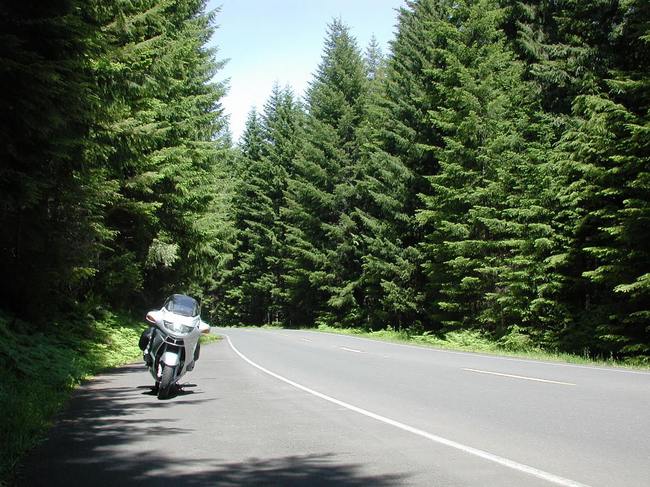
A scene on Forest Road 25. This is typical of much of the journey in this section. The trees are likely second growth forest (meaning they were planted after the original trees were logged).
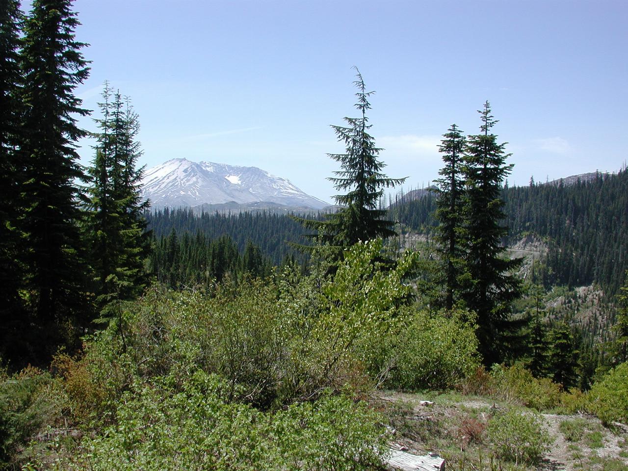
Bear Meadow is the first view point and trail head on Forest Road 99. It is located outside the blast zone, and provides a pleasant first view of the mountain.
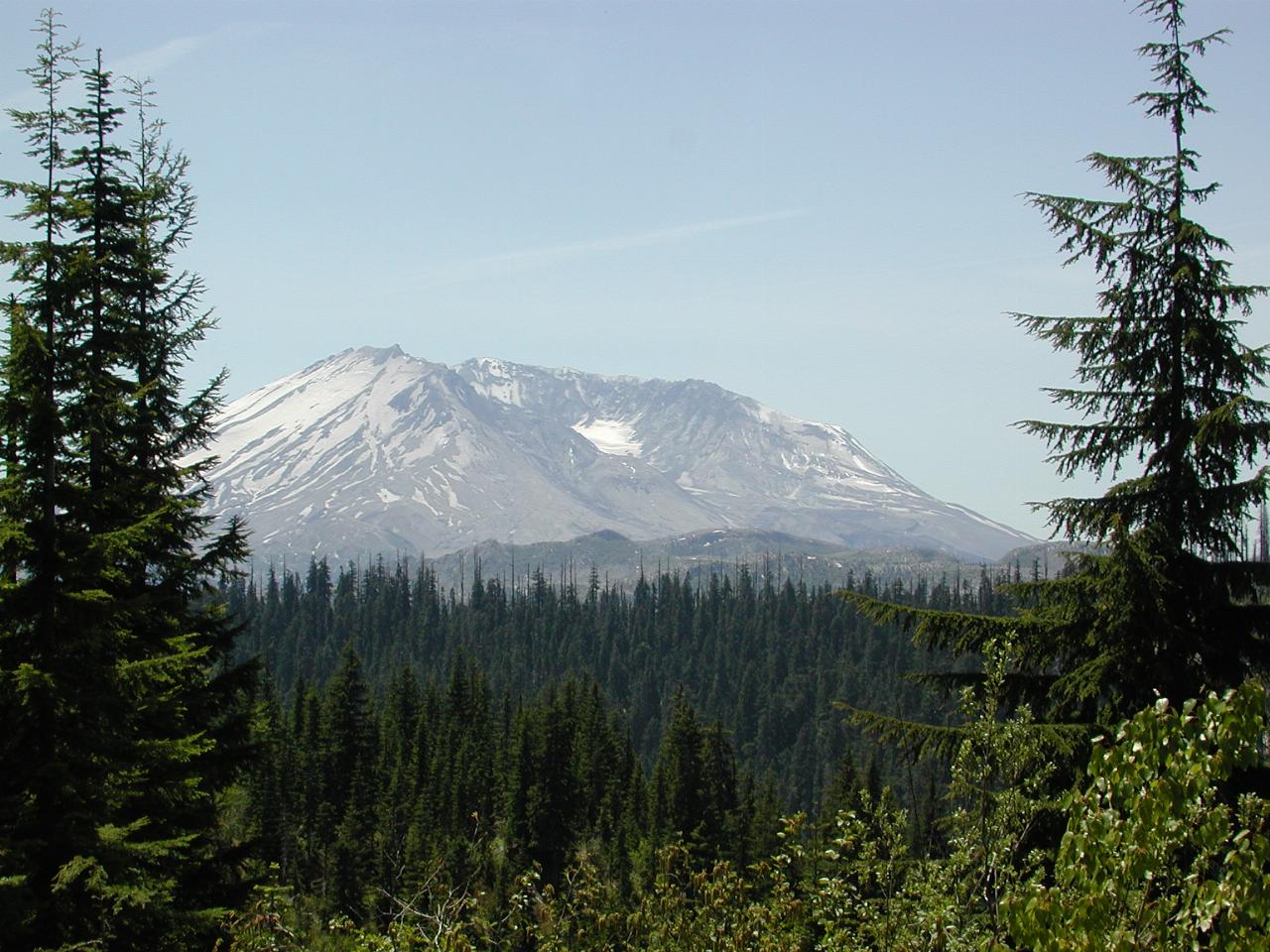
A closer view of the mountain, showing the side which collapsed.
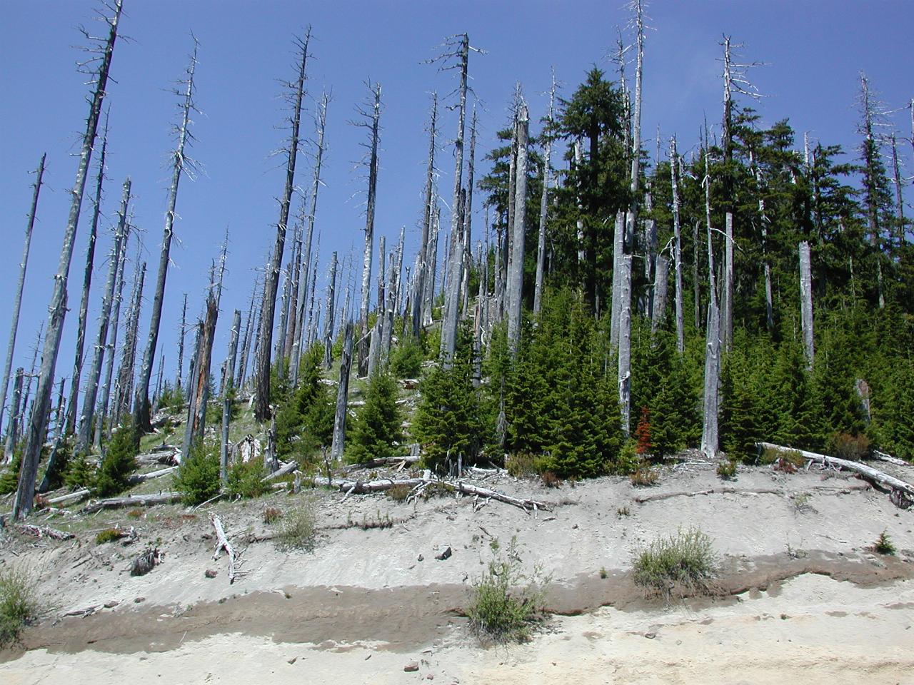
Continuing from Bear Meadow leads to the location called "Edge", which is located on the blast boundary. The trees on the left, and the top of the taller ones to the right, were seared and stripped by the gas/dust cloud. The green ones to the lower right were spared, by the blast trajectory and terrain.
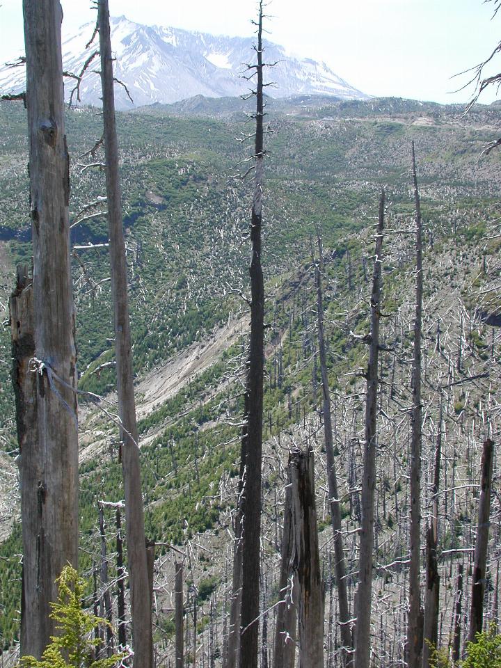
Looking towards the volcano, showing the seared but still standing tree trunks, and the returning vegetation on the far side.
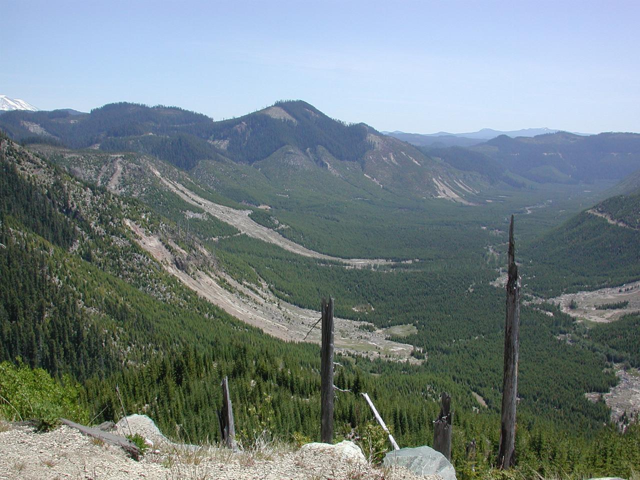
Looking down Smith Creek an area heavily affected by the blast. I believe the trees in this area were in good enough condition to be logged, so they were cut and removed. Then new trees were planted, the results of which are now visible.
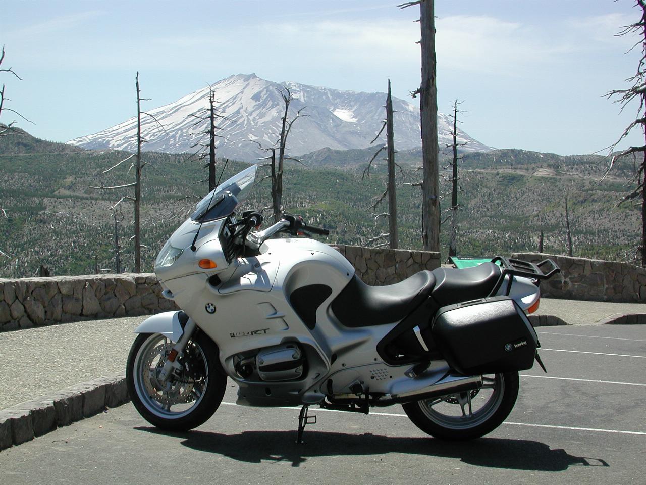
That famous motorcycle, parked "under" the volcano.