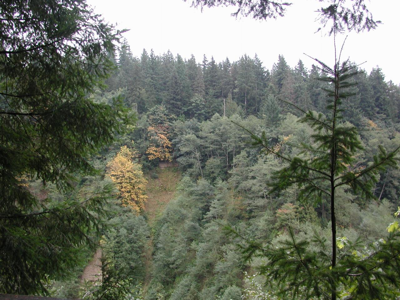
Mud Mountain Dam is located south east of Seattle, near Enumclaw, about 30 miles (as the crow flies) from downtown Seattle. The dam is located on the White River, which starts near Mt. Rainier. Like all rivers in western Washington, it is subject to severe flooding given a heavy snow fall, followed by warm rain before the snow has set.
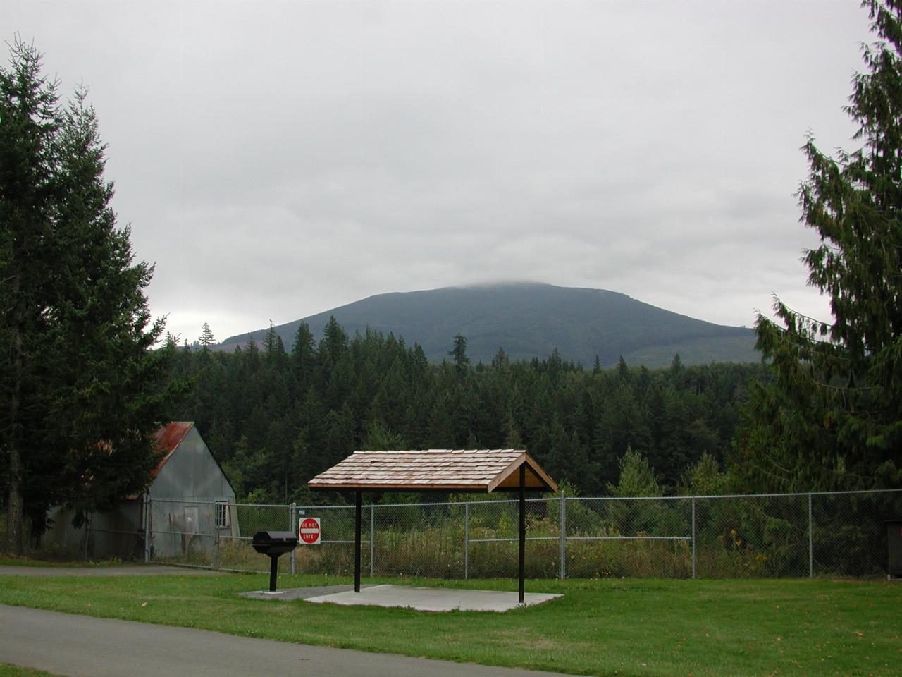
This is Mud Mountain.

A bit of autumn colour is starting to show on the far bank of the White River.
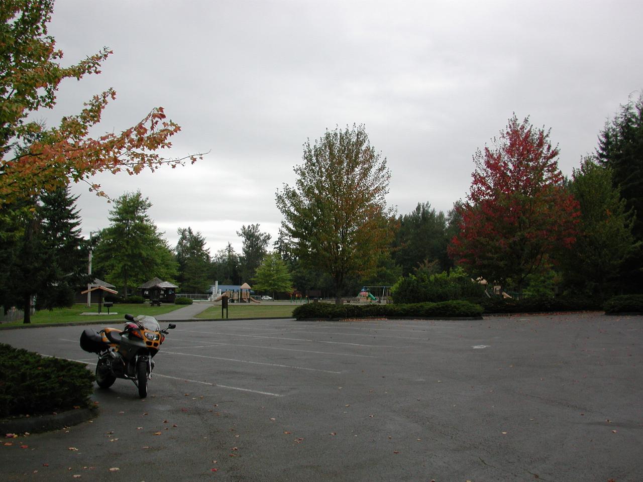
And also at the parking lot near the dam viewing area. As with many such places, this picnic area is well maintained, and provides plenty of room for family activities.
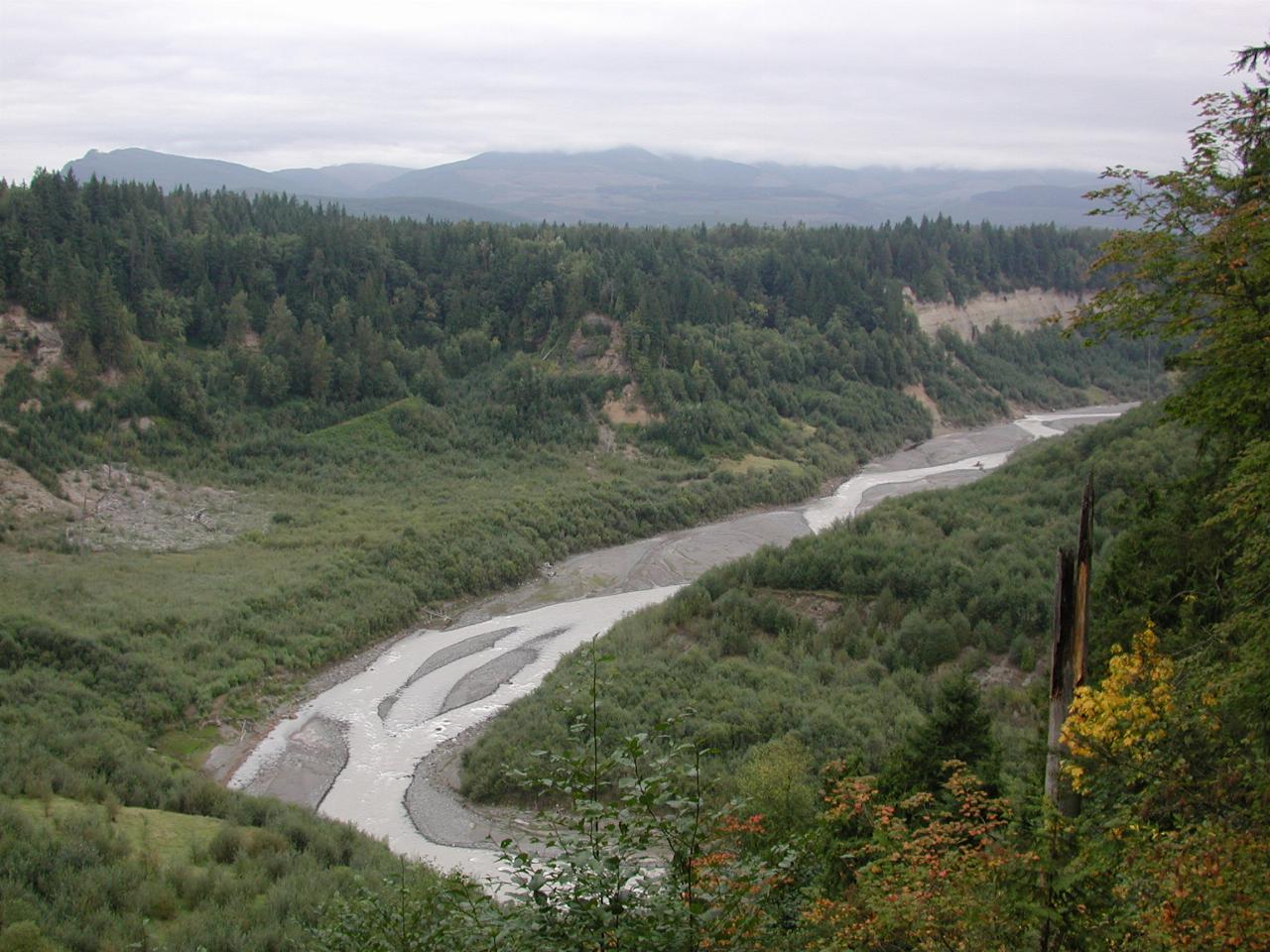
The upstream side of the dam. Note the lack of water, other than the normal river flow. This is intentional - the dam is purely to limit peak flows to prevent down stream flooding, which affects Puyallup and Tacoma. Indeed, the major flood of 1906 (and later 1933, just as the dam was approved) was the prime motivating factor to build it.
One of my maps shows this area as a "dotted" lake. Now I understand why!
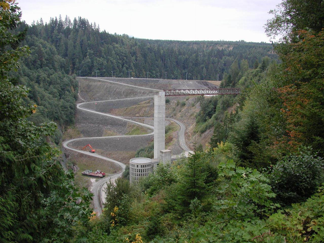
This is the dam wall, upstream side, as seen from the viewing platform (which is also where the above photo was taken). Note the barge sitting next to the road near the base of the dam.
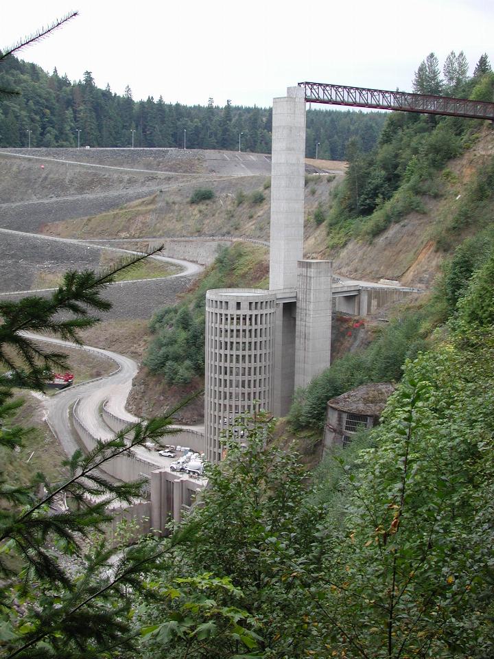
A better view of the new control structure, built in the mid 1990's. Note also the concrete delivery truck near the base.
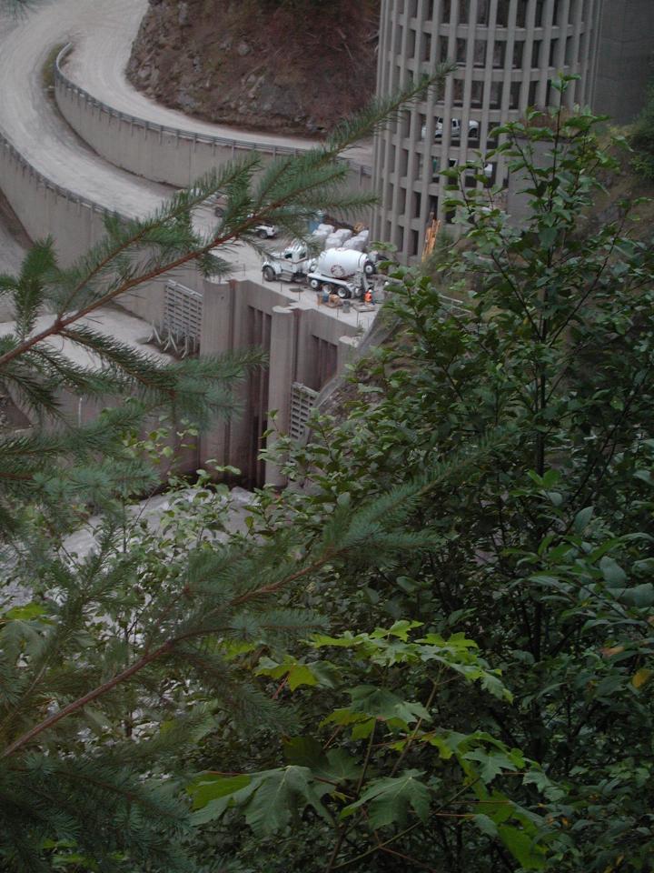
Close up of the base of the control structure. The grayish area at the bottom is the river (it's called The White River because it is white coloured, due to the sediment carried in the stream).
This photo was taken from a viewing platform, part way down the side of the river bank (which is quite steep). During heavy flooding, the viewing platform would be under water.
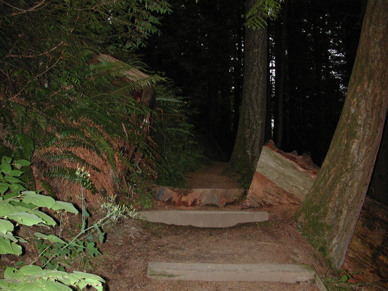
The path on the way back up. Rather than try to remove the fallen tree, a section was cut from it. Part of that was placed in the ground as a "stepping stone".
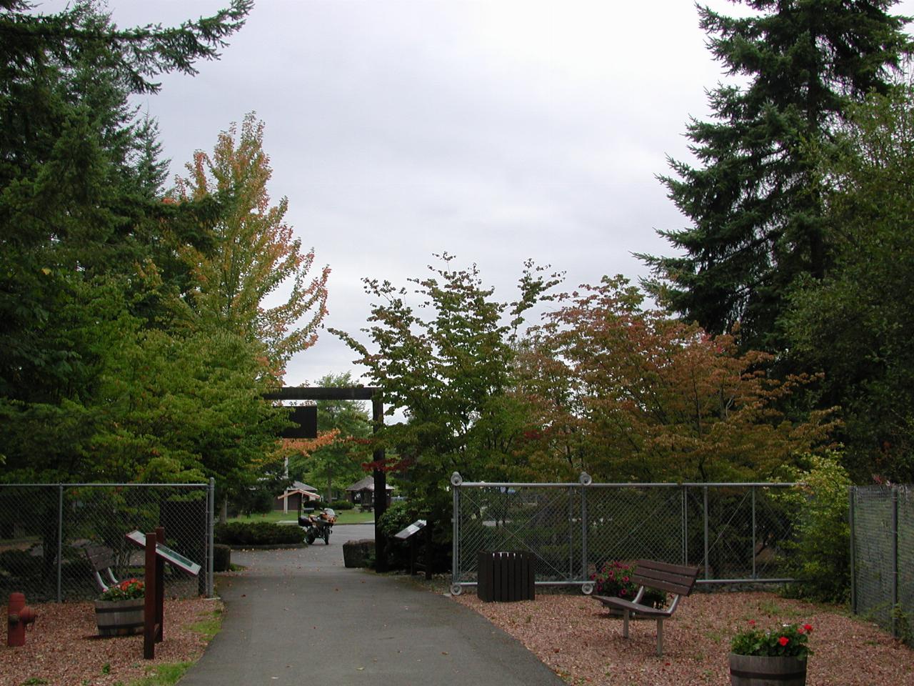
The view from the viewing platform, looking towards the parking lot and picnic area.
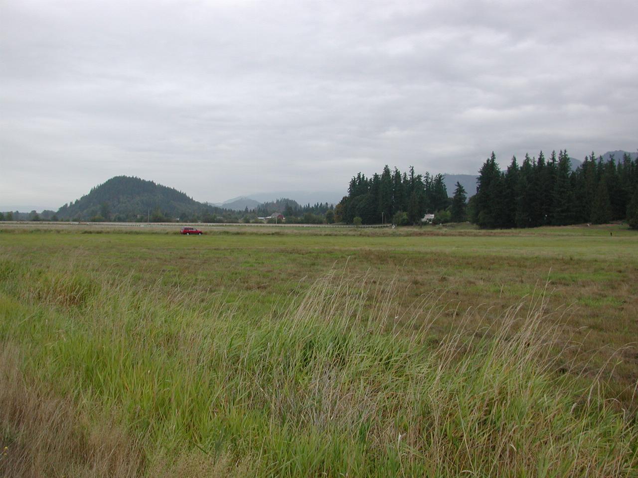
The area around Enumclaw had geologists confused for quite some time. Things weren't right. It turns out this whole area consists of debris from Mt. Rainier. This explains why the area is level, despite the hilly sides.
The problem is that Mt. Rainier is not stable. It is still an active volcano, and a consequence of this, and it's constant snow cover, is hot, acidic water flowing through the rocks. This weakens them, until a major collapse is triggered. The folks down stream have very little time to evacuate the area, as there are no warnings of such an event, called a lahar.