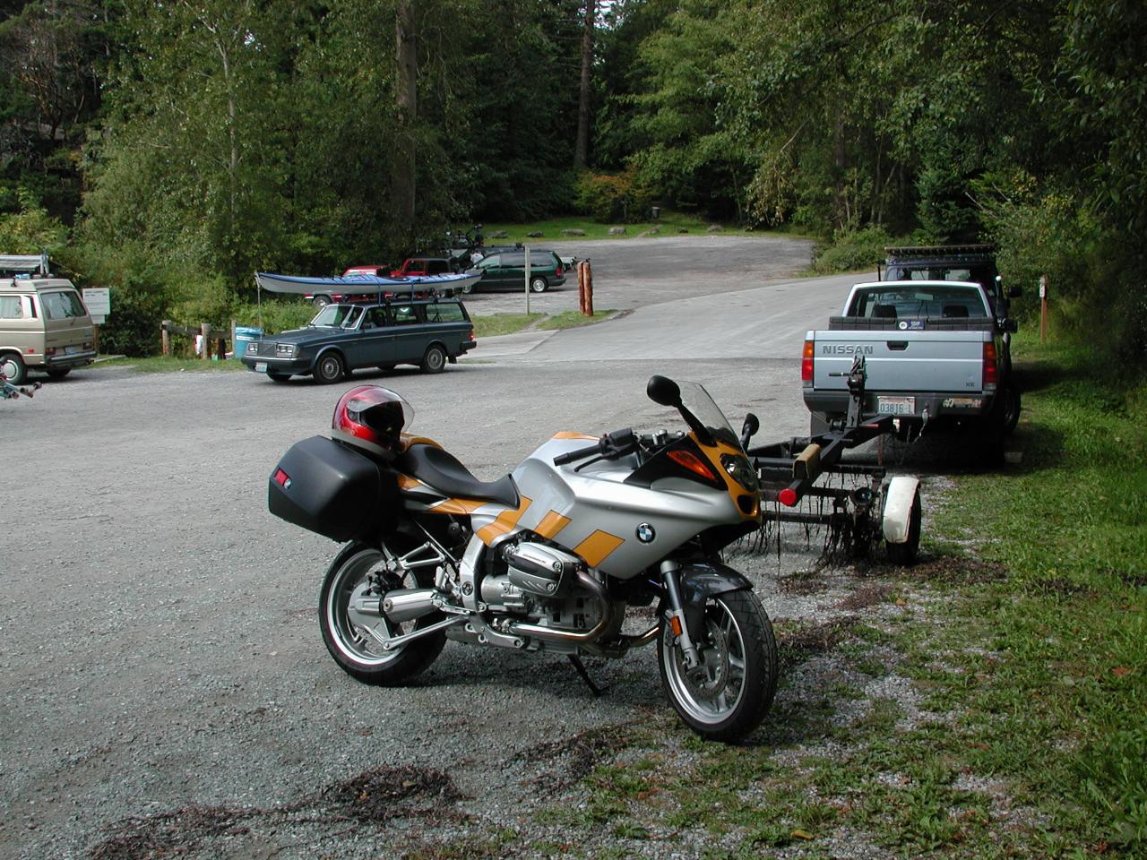
On Sunday, September 3rd, I decided to ride to Mt. Baker, which is just south of the Canadian border. The forecast was for clearing weather. I have not been to Mt. Baker, so this seemed a good time to plan on a trip there. And with a new bike, well...
However, as often happens, forecast and reality were not quite the same. Approaching Bellingham, the cloud was thickening, and getting lower. As was the temperature. So plan B came into effect. Exit the freeway, and head down Chuckanut Drive, which follows the western edge of the mainland. The road itself is quite enjoyable to ride, as it is built into the side of a cliff, and has quite a few twists and turns. Unfortunately it is about to be resurfaced, and so the pavement has been "grooved", making it a little more interesting for motorcycles.
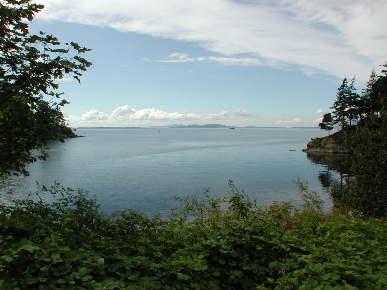
There are not many places along the road providing access to the water. One area is Larrabee State Park. Well, actually this is not in the park; this is a small area with a boat launching ramp adjacent to the park (on the left in this picture).
This view is looking west towards the San Juan Islands. It was a rather calm day, but you can see the clouds in the upper right hand corner - they did make their way further south during the day.

While a number of vehicles at the ramp had boat trailers attached, not everybody uses petrol power to get around. Kayaking is quite popular here too, as evidenced by the Volvo in the background. I think I need a new helmet - the red just doesn't go with the new bike!
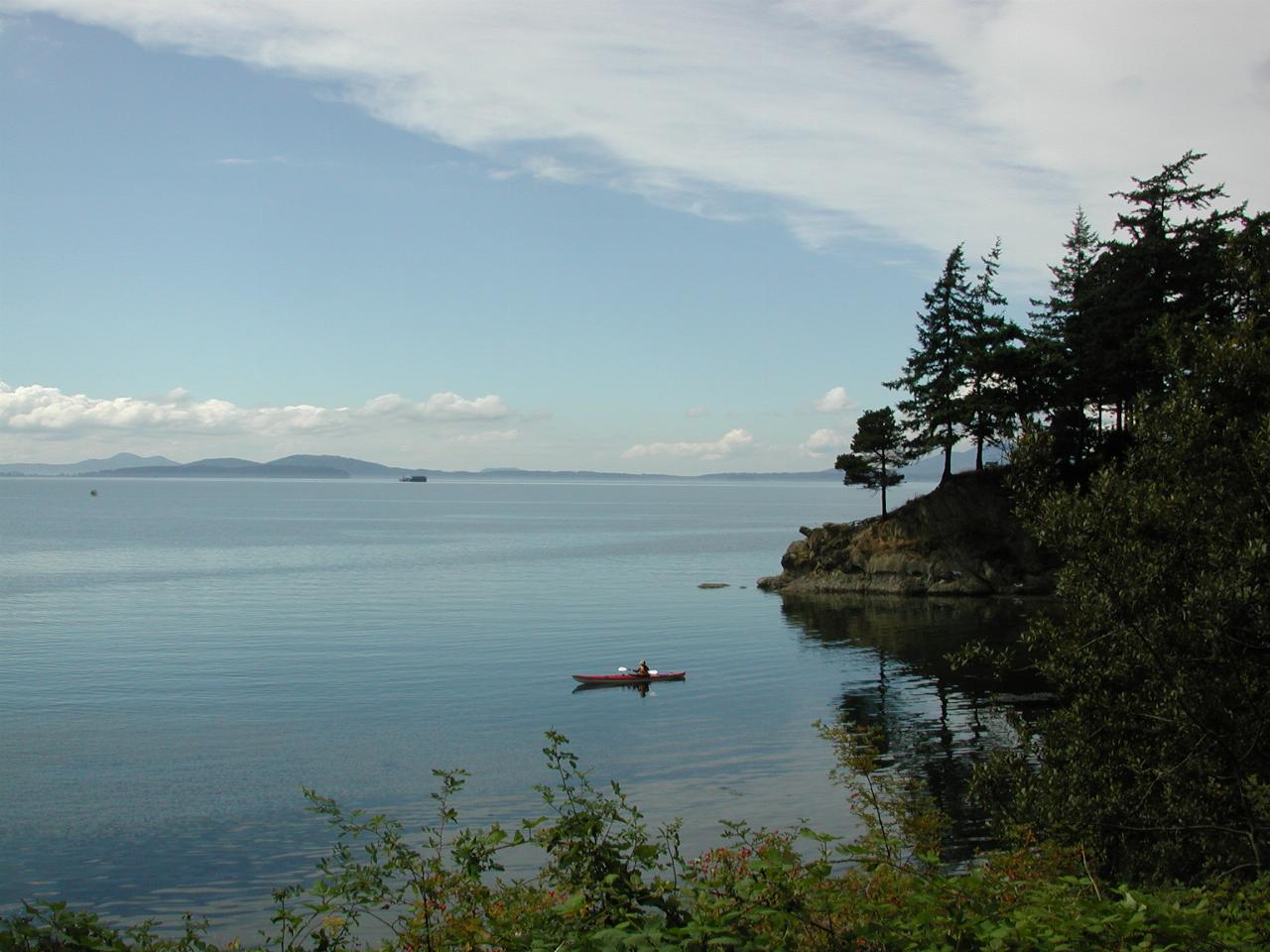
One kayak in, just waiting for the others. Looked like an ideal day to be out on the water, as it was obviously very smooth. This was the Labor Day weekend, considered the unofficial end of summer, especially as the schools resume on Tuesday. And around here, nice weather becomes less reliable at this time of year, so it's time to take advantage of any nice days at all.
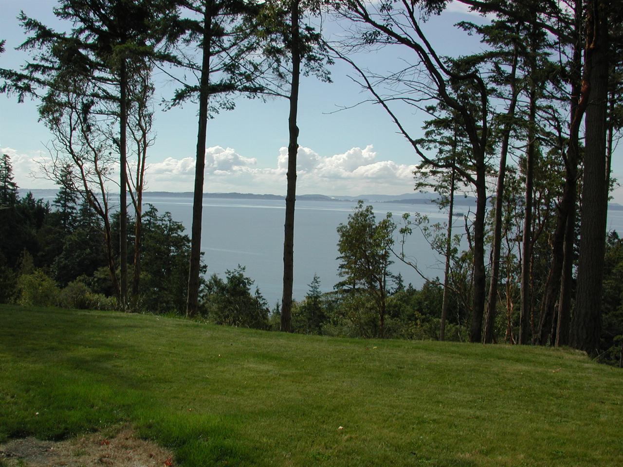
Just a little way from the boat launching area there was land for sale. So I went and had a look. No, I'm not about to buy. And this land is not obviously well suited to building. However, it does provide a nice view of Samish Bay, looking towards the San Juan Islands. They are another part of the local scene I have not yet visited. Fortunately there is a good ferry service to them, and motorcycles get on first!
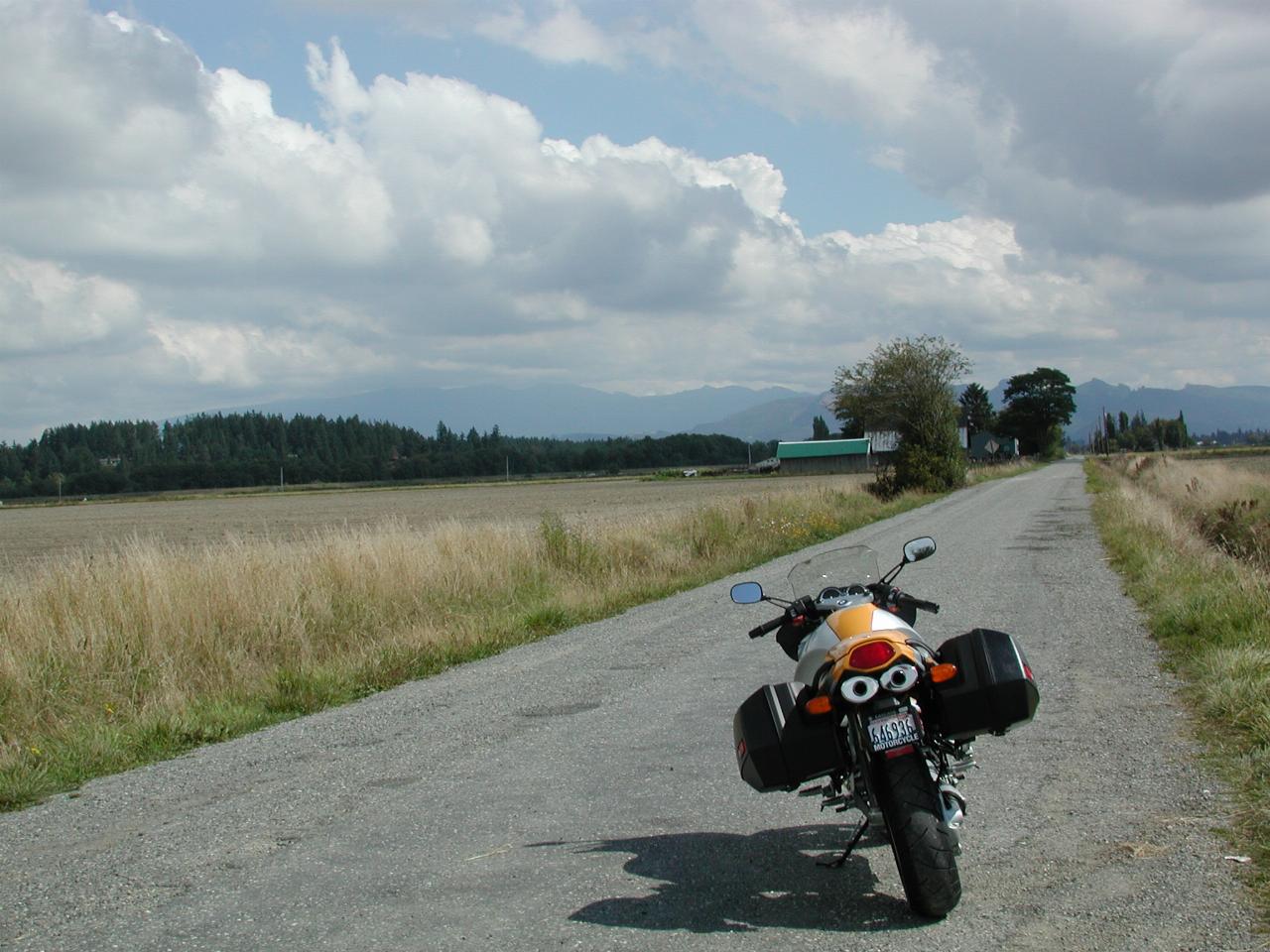
After leaving the Larrabee area, I headed on south, skirting La Conner, but taking a backroad that I have often considered investigating. This is Rawlins Road on Fir Island. The view is looking ENE, towards the Cascade Mountains. The road actually stopped where I was standing when taking this photo. There's a levy around the island, to protect it from the floods which regularly come down the Skagit River, which forks to form the island. Behind me in the photo is a marsh land area, a wildlife refuge.
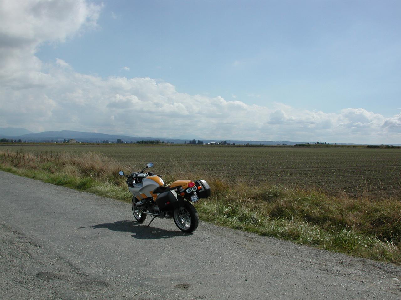
Looking ESE, from the same location. The land on this island is very fertile, as it has mostly been washed down from the mountains. Hence, it is prime agricultural land. Although officially an island, it's not really obviously so. There are bridges to the north and east, so it's not clear that there is an island in between.