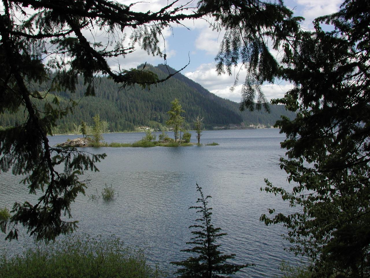
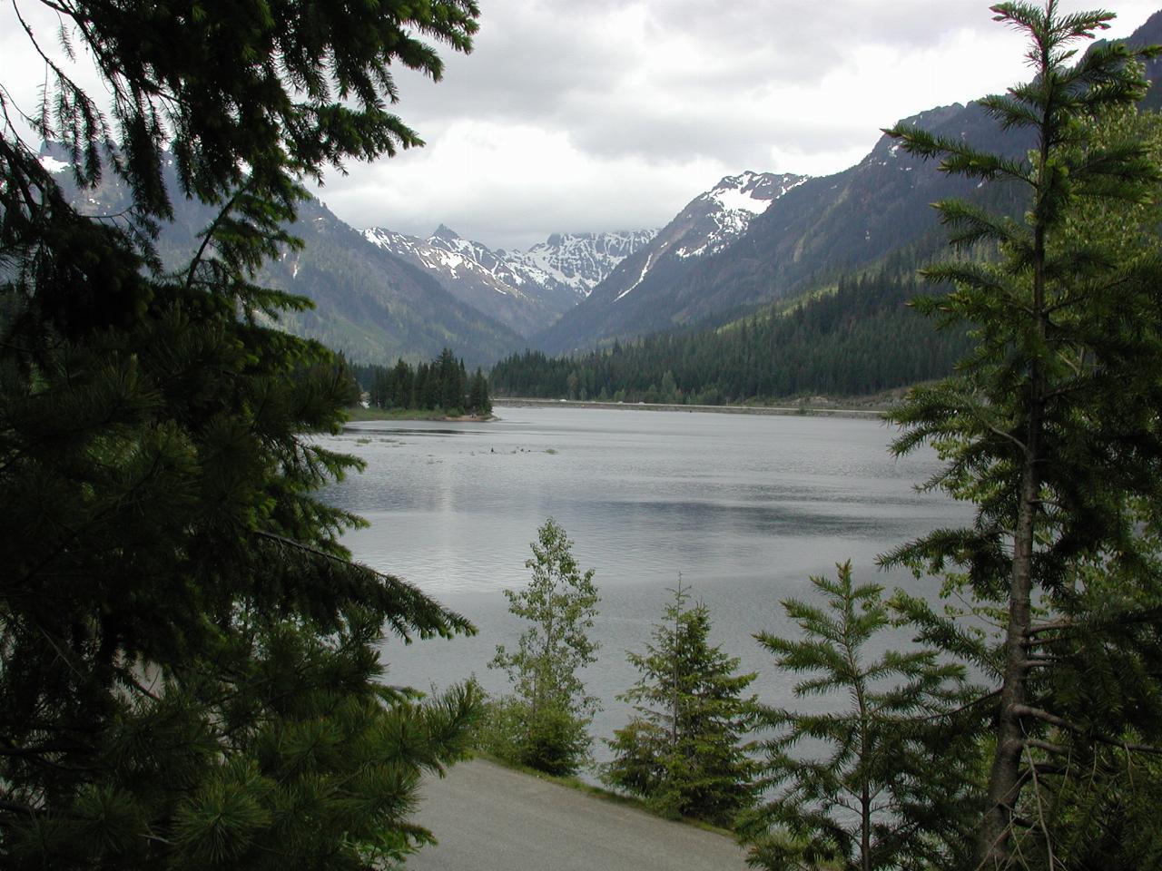
A view of Keechelus Lake, a man made lake at the top of Snoqualmie Pass. This is the time of the year when it is full, as the snow has mostly melted. By the end of winter, the level is very low, as the lake water is used for irrigation on the eastern side of the Cascade Mountains. The dam holding back this water is on the eastern end; this view is looking roughly north west.

Hard to believe, but I rode up to this "island" on my bike a few weeks ago! For most of the year, it is connected to the land. I'm sure that at least some of you have visited this island with me.
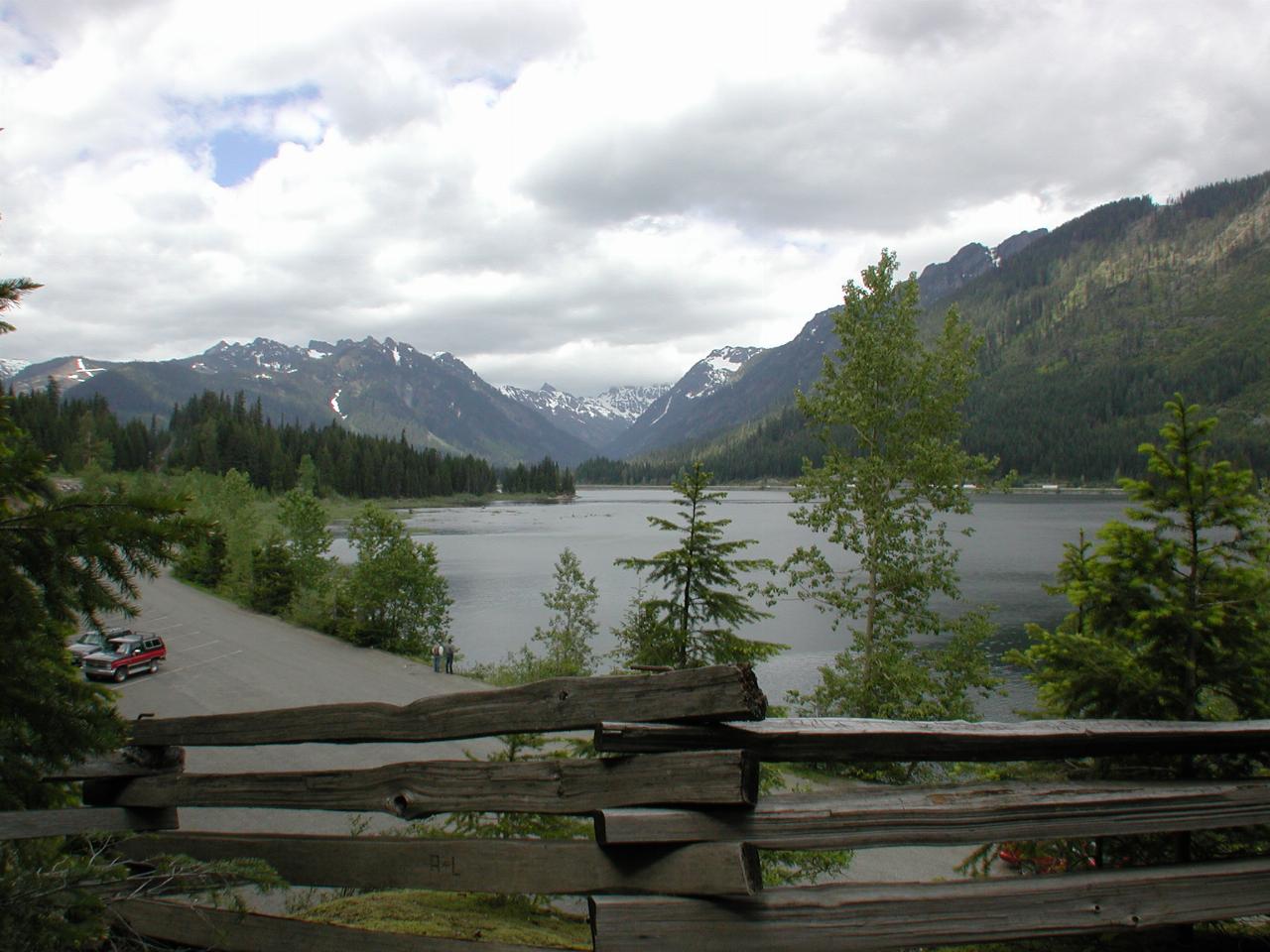
Yet another view of the western end of the lake. My car is the one on the left in the parking lot below.
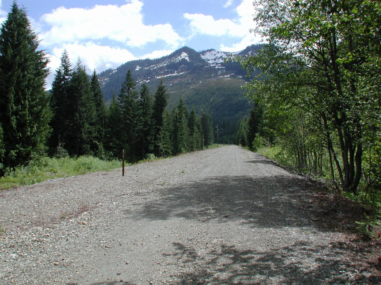
Just a very short distance from the other pictures, this is the old railroad track over Snoqualmie Pass, the first track out of Puget Sound. It was abandoned later when better routes were found. It is now a walking trail, and also has fibre optical cables underneath. A little ways behind this scene, the trail enters a long tunnel which crosses the top of the pass.
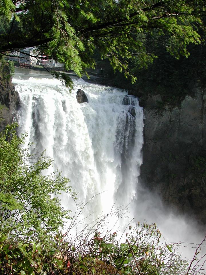
June is the time when the falls are still flowing vigorously. There is still snow on the higher hills, which is still melting. Plus all the previous snow melt which is working its way through the ground.
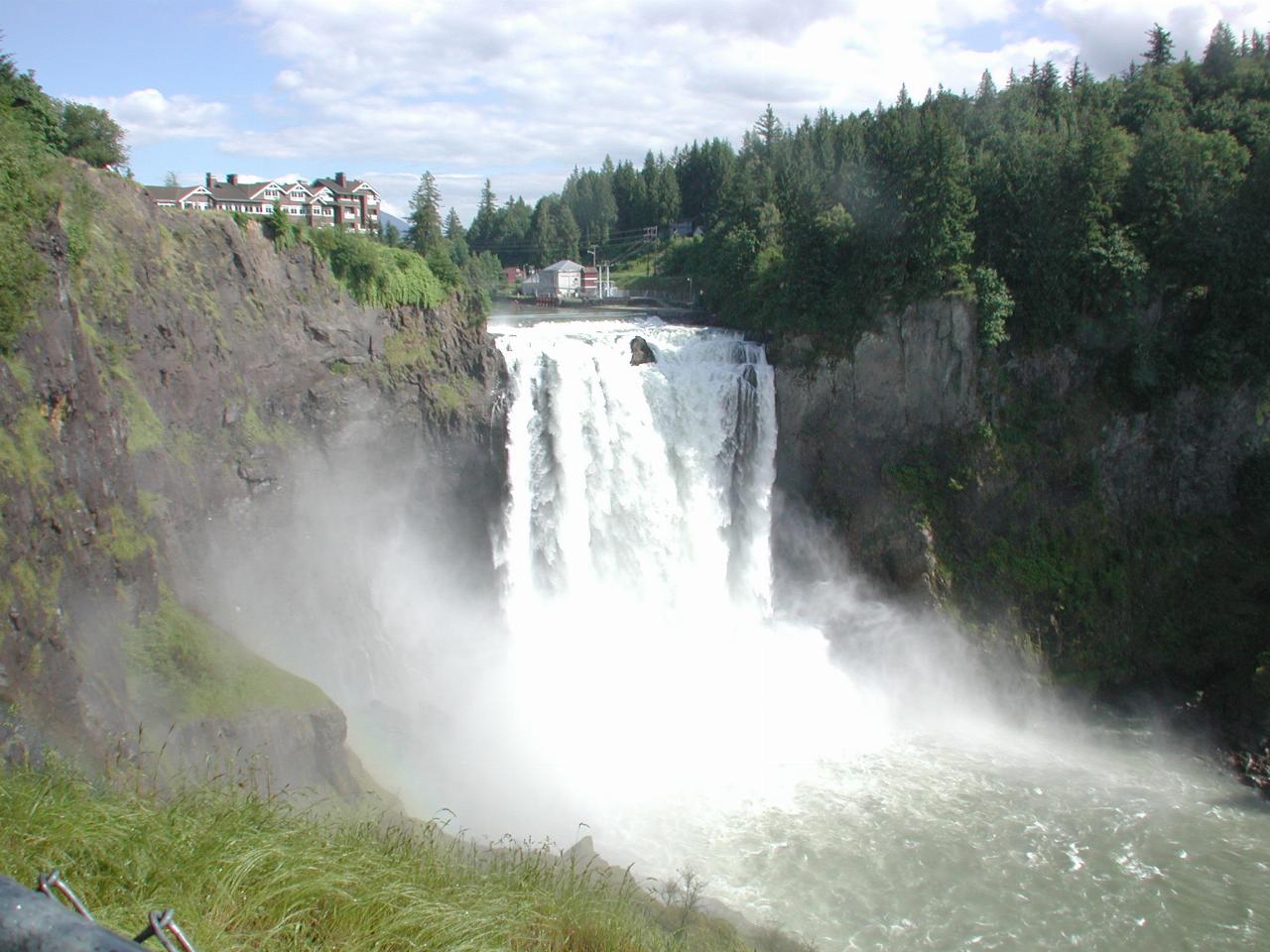
A wide angle view of the falls, showing the prime location of The Salish Lodge.
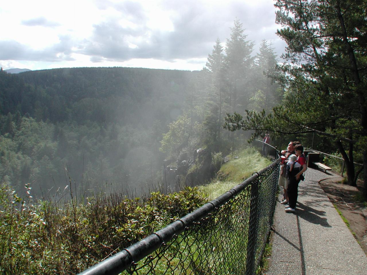
The end of the walkway at the upper level of the falls. Note the mist rising out of the valley, a common effect just there, as the area looks directly into the falls. The ridge in the background is becoming a housing development. I believe there will be no houses visible on this side, but time will tell.