On April 2nd, 2000, I drove from Portland, Oregon to Seattle Washington via the Columbia River gorge, Yakima, Leavenworth and home. This is the long way, but the weather was perfect, and it is a much more scenic route than along the freeway.


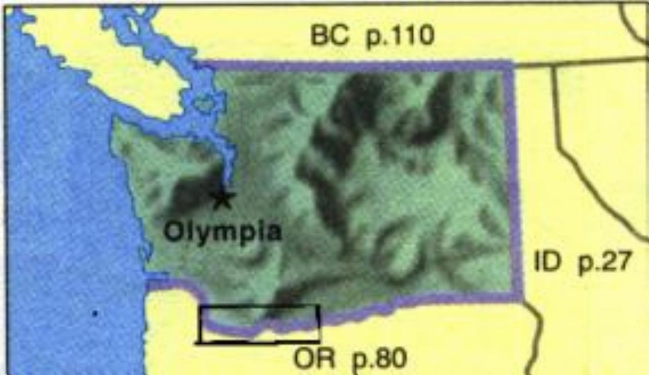
This map shows the general area of the trip, enclosed in the black rectange. Click on this image for a much bigger map, showing the details of the journey. The larger map will locate the scenes which follow.
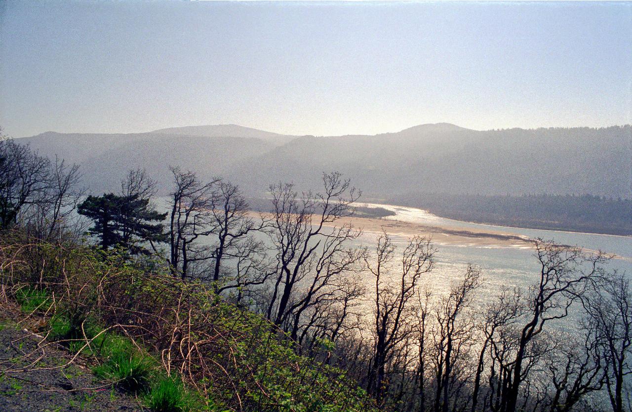
Just a stop along the side of the road a little east of Washougal, which is actually at river level, so we did a little climbing to reach here. Unfortunately there is nothing to offer a sense of perspective, and so to appreciate the size of this river.
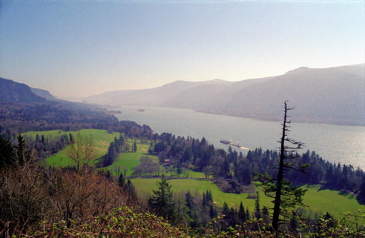
Another turn in the road, and this vista appears, with lush green grass, trees and a magnificent view of the river. Note the barge - they are quite large, as perhaps you can appreciate from the tug which is pushing it along.
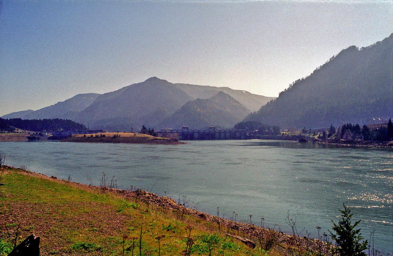
There are many (some would say too many) dams along the Columbia River. This is the Bonneville Dam, which actually was built in two steps. The next photo shows the dam in close up.
The original part of the dam is on the right side of the island; the left part was buiilt much later to make more use of the river's flow to generate hydro electricity. All the Columbia River dams generate electricity - due to the enormous flow of the river.
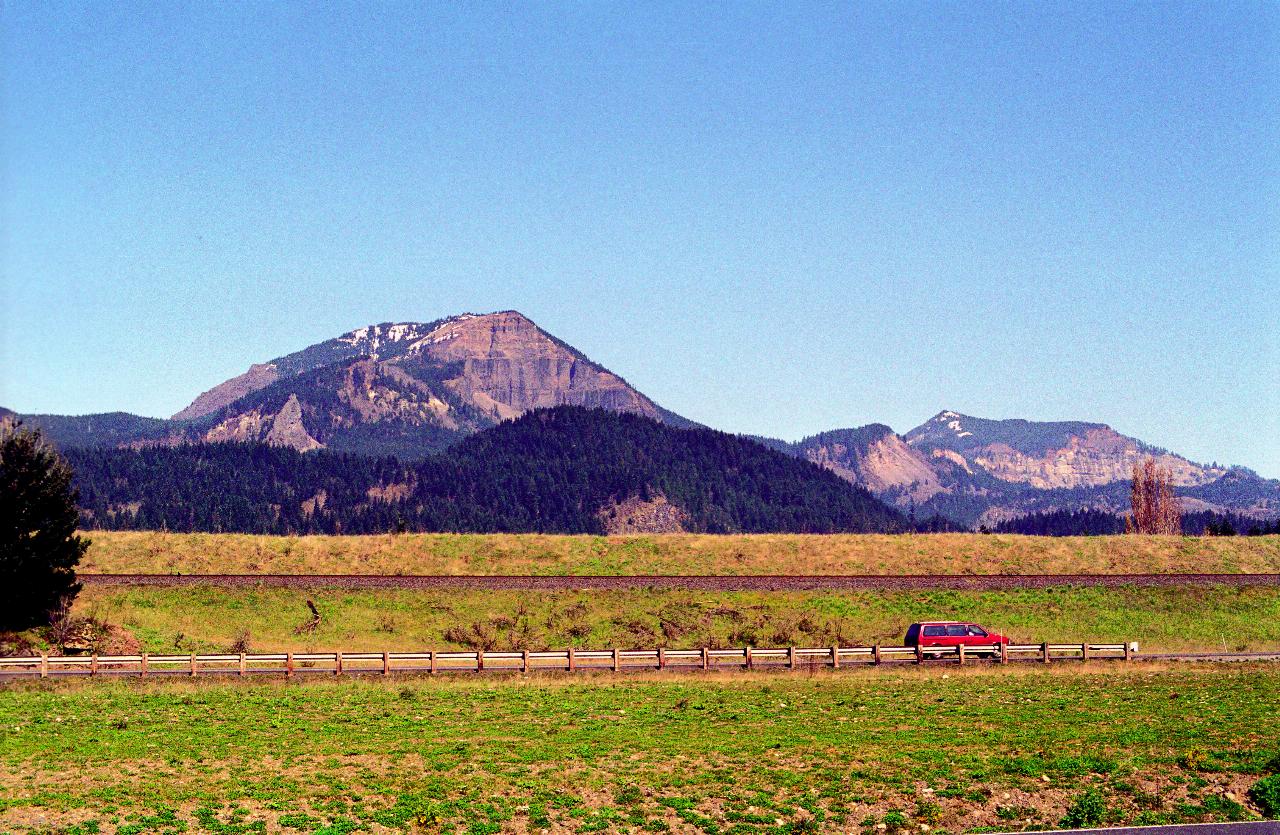
This is the view looking north from the same location as the above photos. This is part of the Cascade Mountains, which were cut through by the Columbia River eons ago. There was a huge ice dam in eastern Washington, and when it finally gave way, at the end of the last Ice Age, the huge torrent of water carved the current Columbia River.
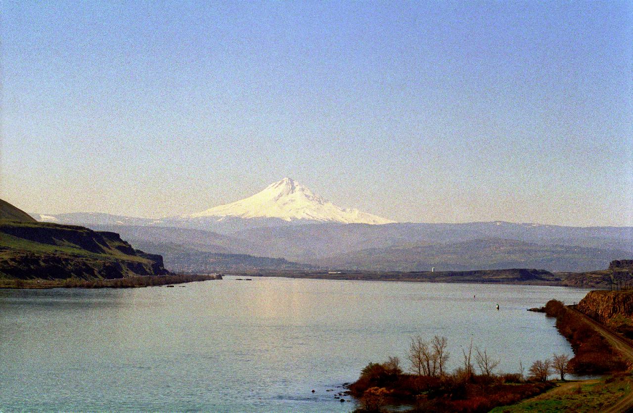
This is Mt Hood, the tallest mountain in Oregon. The scene is looking west. The city of The Dalles is on the bank of the Columbia, almost directly below the peak of the mountain in this scene. Mt Hood is another of the Cascade Volcanoes.
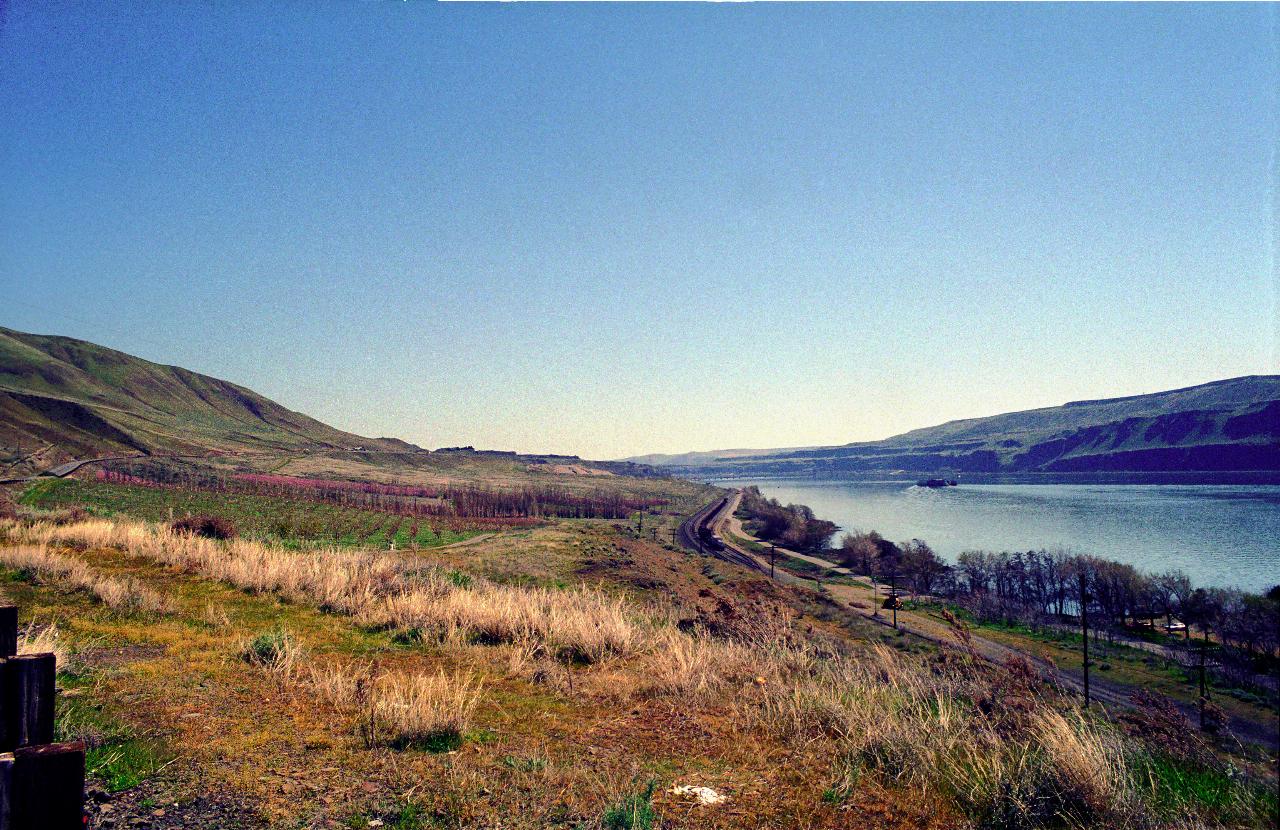
Looking east at the same location. This scenery is becoming typical eastern Washington, which has a dry climate, although is a very productive area for agriculture, using water from the Columbia for irrigation. Note also the railway line running along the river bank. The Columbia is a major transportation artery, having a highway on both sides (although the one in Oregon is actually an Interstate Freeway (4 lanes), a railway line and much barge traffic.
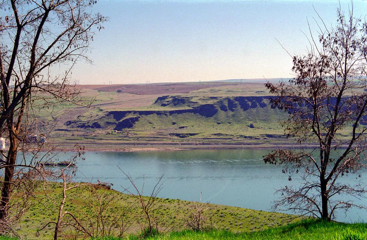
Looking across the Columbia River to the wheat fields of Oregon. This is taken from the Maryhill Museum, the location of which is shown on the large map. It's hard to appreciate the size of the river, but you can see some buildings on the other side. There is also a 4 lane highway and railway line too.
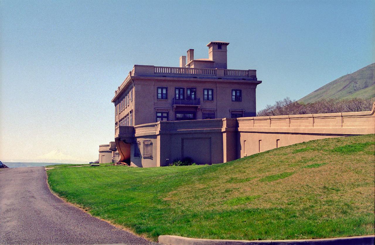
The Maryhill Museum. A French chateau style of building, it was built in the early part of the 20th century by Sam Hill, and named in honour of his wife Mary - hence the name. Sam was quite a promoter of roads, and had the Oregon legislature fund the building of the road on the southern side of the Columbia. Sam was the builder. Maryhill was to be his "ranch house", and was part of a planned community for Quakers (which Sam was). However, no Quakers ever arrived, and so the development failed, and Sam lost interest. Unfortunately it does not show in this image, but Mt. Hood was visible just above the side of the road on the left hand side of the image.
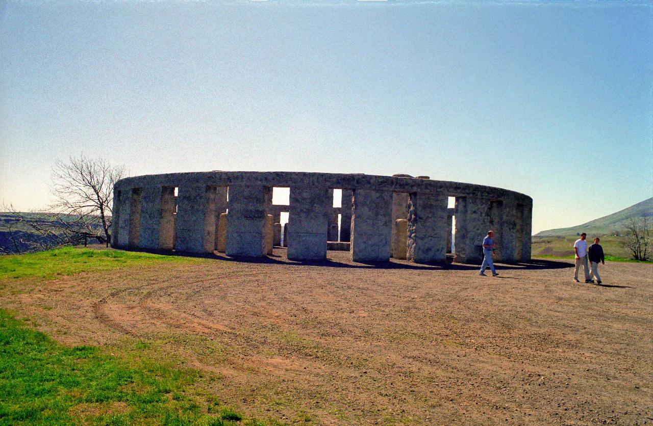
Sam Hill also built this replica of Stonehenge. It's claimed to be the same size and orientation as the original, although it seemed smaller than what I remember (although that's not saying much). At the time of construction of this replica, the commonly accepted belief was that the original was used for sacrifices. Hence, Sam Hill built this as a war memorial for locals who died in World War I. Since then, of course, knowledge of Stonehenge has changed, and it is now believed to be an astronomical device, a type of calendar.
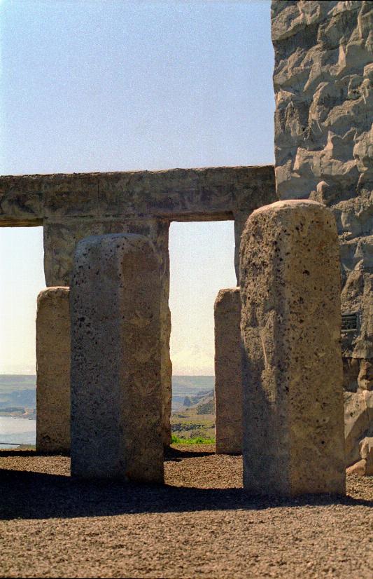
This is the view from the centre looking towards Mt. Hood, which is almost visible through the right hand slot. The larger image has Mt. Hood emphasised.
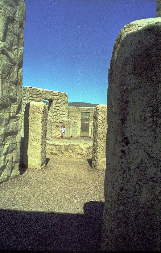
The horizontal stone is a type of altar stone. You can appreciate the size from the people standing near one of the central arches. They are reading the name plaques located around the pillars honouring the dead of the local community.