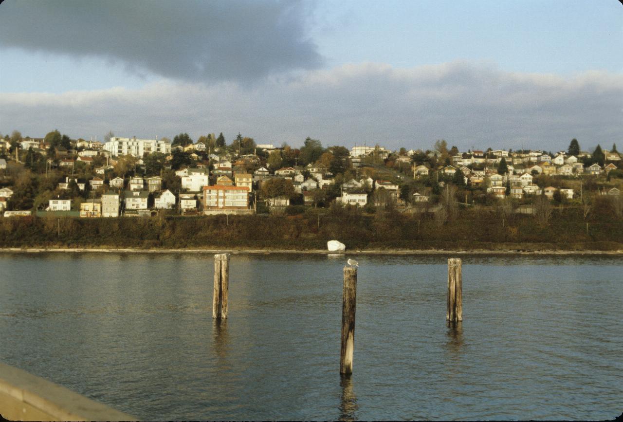
Vancouver Day 2 included a trip to White Rock, the BC community located on the north side of the border with the USA.

Guess where the name of the town came from? At least, that's what I was told at the time.
I have no idea whether the rock is naturally this white.
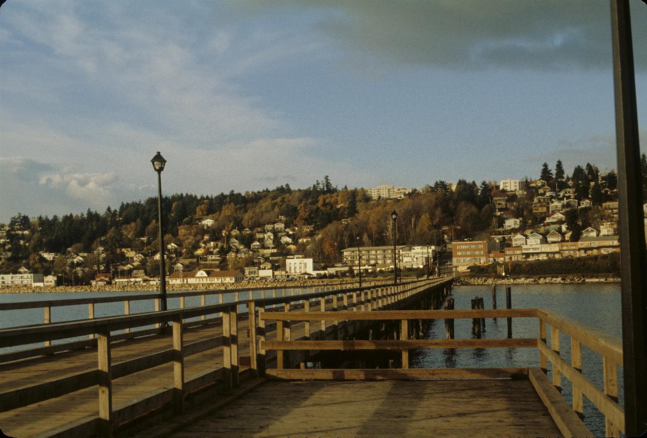
The main part of White Rock with a view and winter sunshine. The buildings
are facing roughly south west, towards the Olympic Peninsula in Washington state.
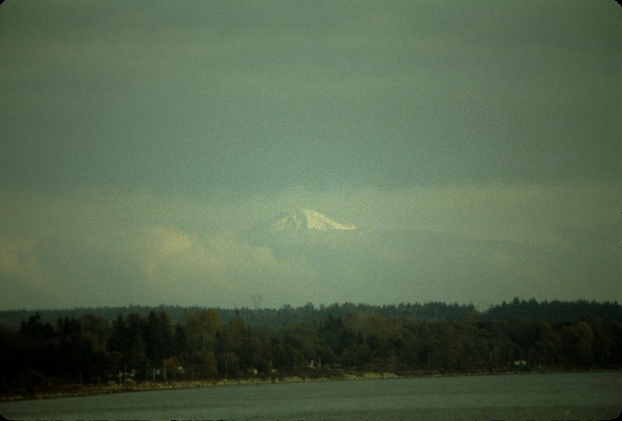
And from the pier, Mt. Baker (USA) appears amidst the clouds.
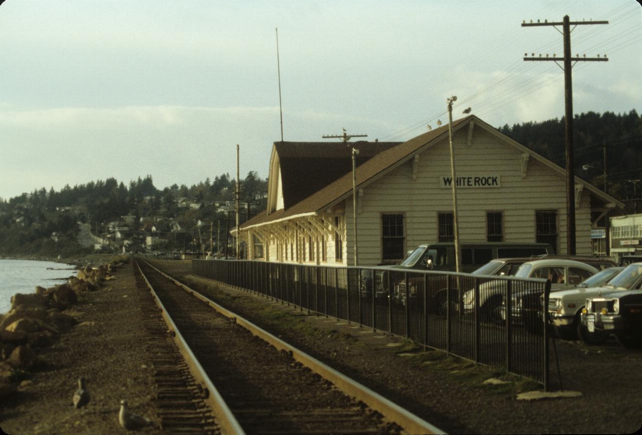
I presumed this was a train station, given its location. This line
extends to Seattle to the south and Vancouver to the north. However,
the metal fence suggests that passengers are not expected to board the train.
The 2013 satellite photo shows the fence is missing, so perhaps it was
a station long before this photo was taken, and has again become one.
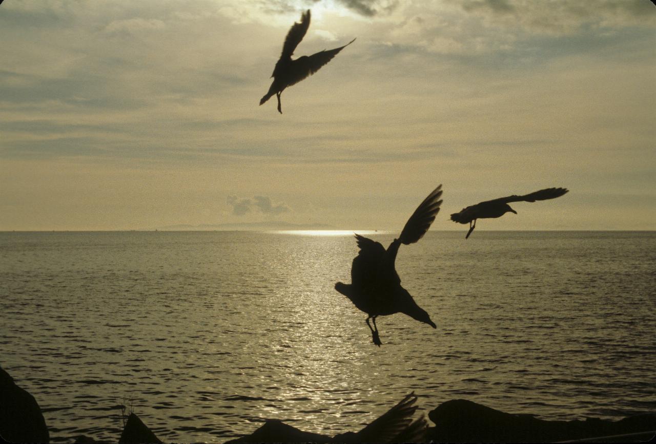
The nearest seagull looks as though it's coming in to land. Wings up to
slow down, and landing gear (feet) deployed for landing.
The Olympic Peninsula of Washington state is probably just visible.
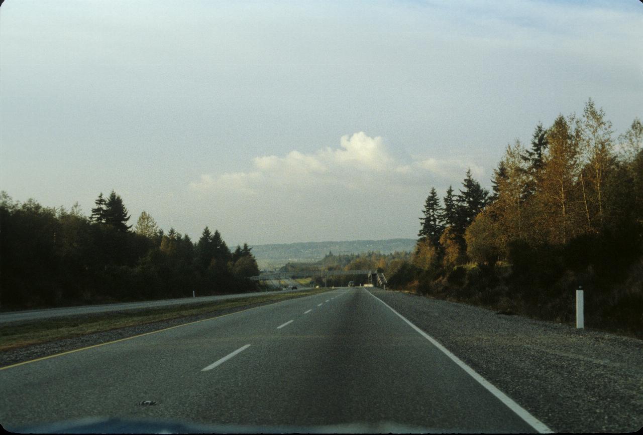
The view of the road on the way back to Vancouver. After a very pleasant
sea side visit.