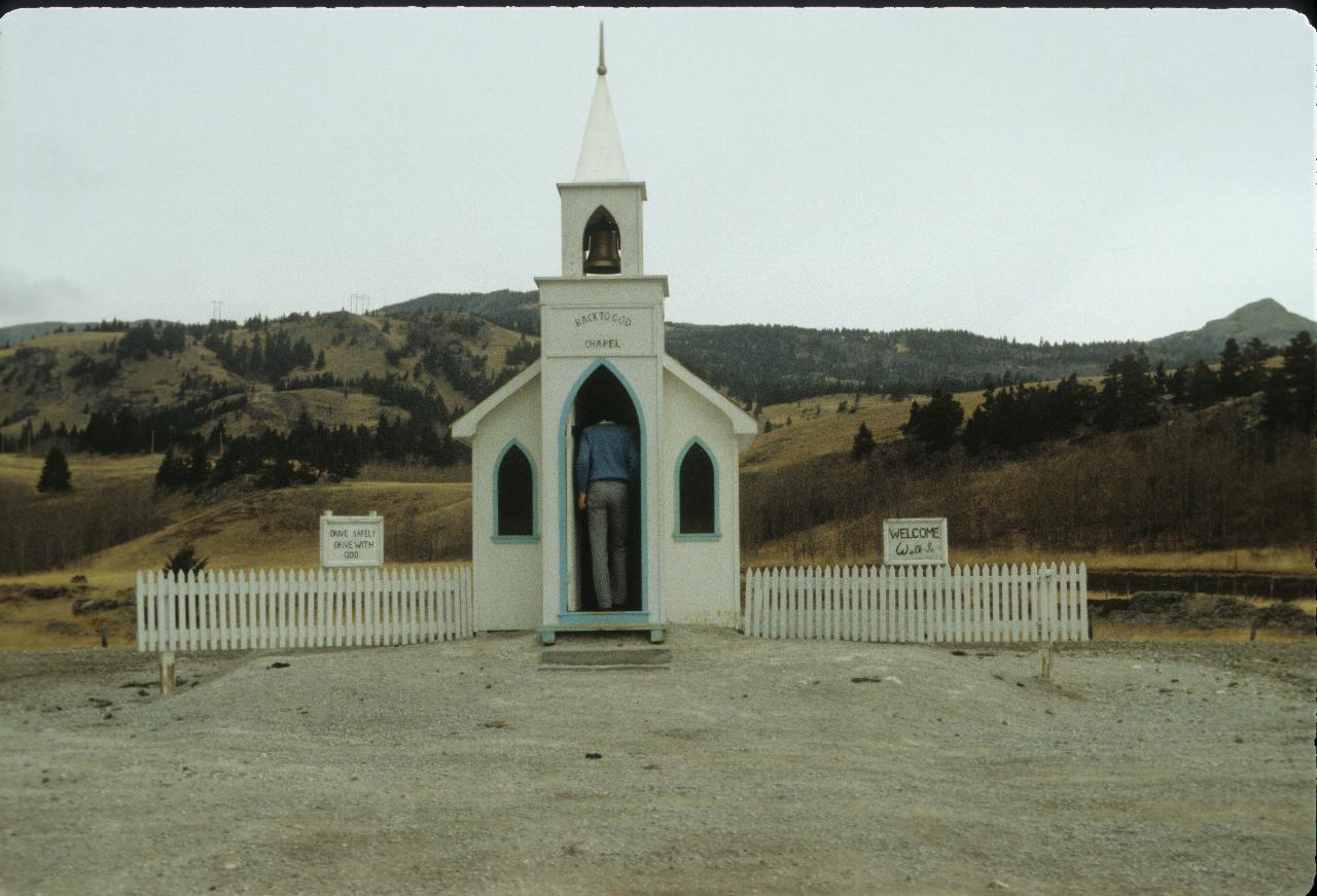
Today's destination was Crows Nest Pass, on the border between Alberta and British Columbia.

The
Back To God Chapel
on the side of the Crows Nest Highway. That's Laurie in the doorway.
Small, but with good intentions. The sign on the left says "Drive Safely/Drive with God",
and the one on the right says "Welcome. Walk In".
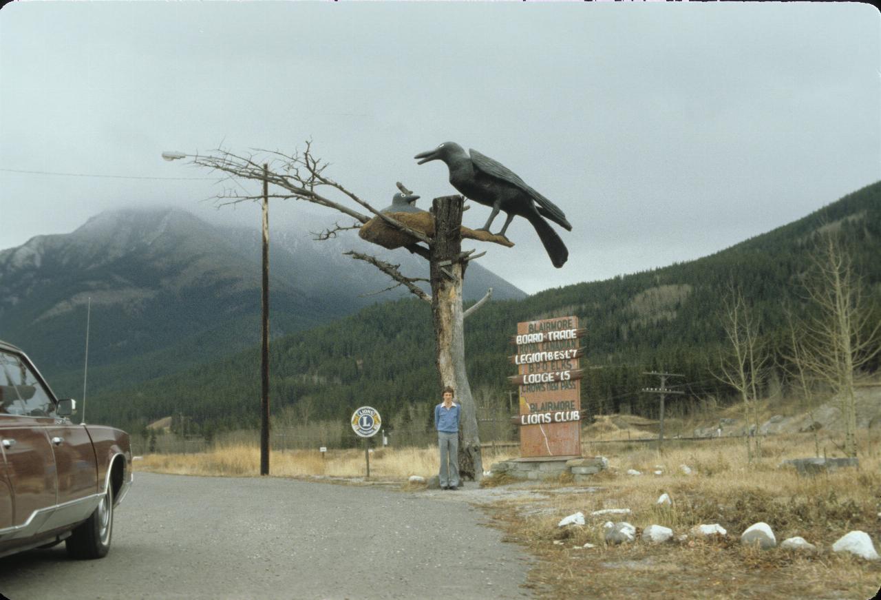
Guess where! Yep, it's Crows Nest Pass, the way from southern Alberta to southern
British Columbia. The Trans Canada highway is quite a bit further north.
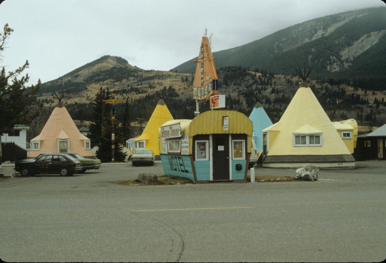
Well, the
Sleepee Teepee
motel is certainly distinctive. It stood until 1986.
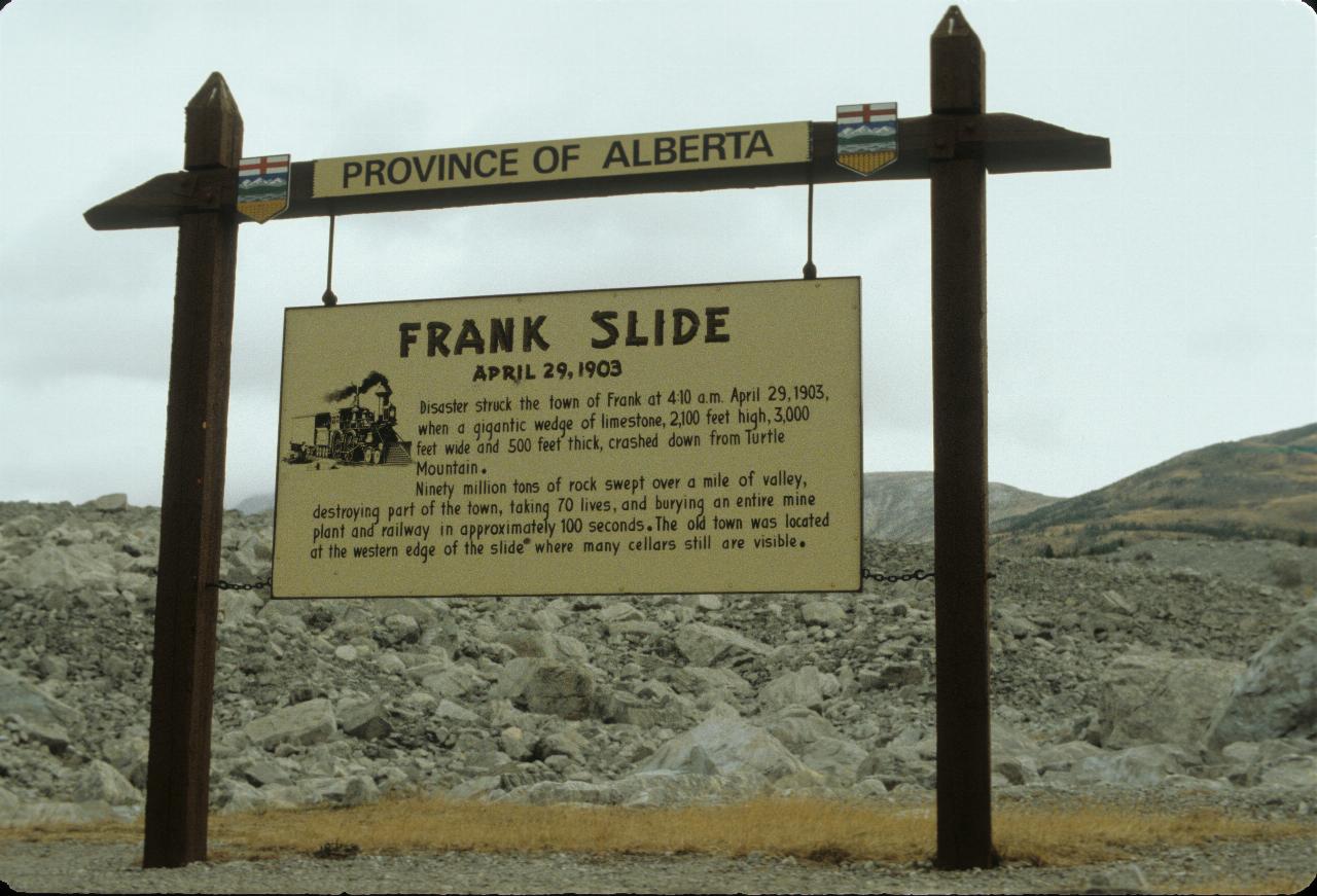
This sign explains the following two photos.
Disaster struck the town of Frank at 4:10 am April 29, 1903, when a gigantic wedge of limestone, 700m high, 1000m wide and 160m thick, crashed down from Turtle Mountain.
Ninety million tons of rock swept over 1.5 km of valley, destroying part of the town, taking 70 lives, and burying an entire mine plant and railway in approximately 100 seconds. The old town was located at the western edge of the slide, where many cellars are still visible.
Wikipedia has an article covering the slide, its causes and the consequences, along with the subsequent history of the town of Frank.
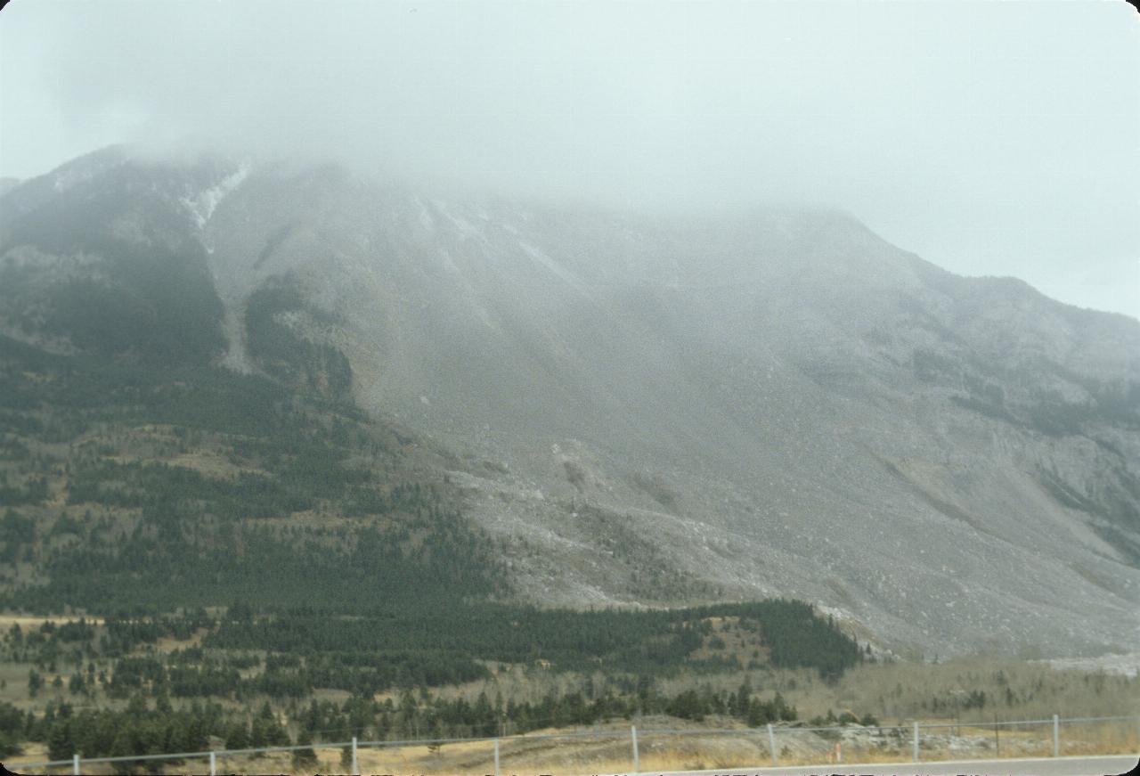
The gray area is the section of mountain that slid down on April 29
th
1903, killing 70 people living at its base in the town of Frank. Surprisingly,
the coal miners working in the mine inside the mountain survived, though it
took them 12 hours to dig their way out.
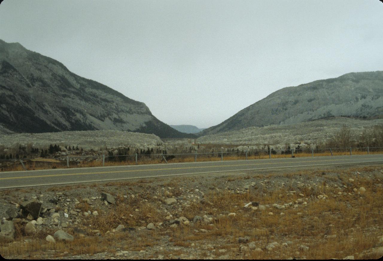
The rock face slid down and continued up the valley floor. This gray rock
was part of the mountain until 1903. The mountain is still unstable, and
further slides are expected. In this
Google Maps aerial view
the slide starts just above the
Turtle Mountain
marker on the left, and runs towards the top right. The new position
of the town of Frank is towards (or off) the top of the map. The
break in the gray rock is for a river.
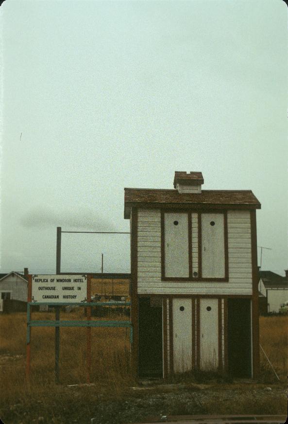
The sign to the left describes this structure thus
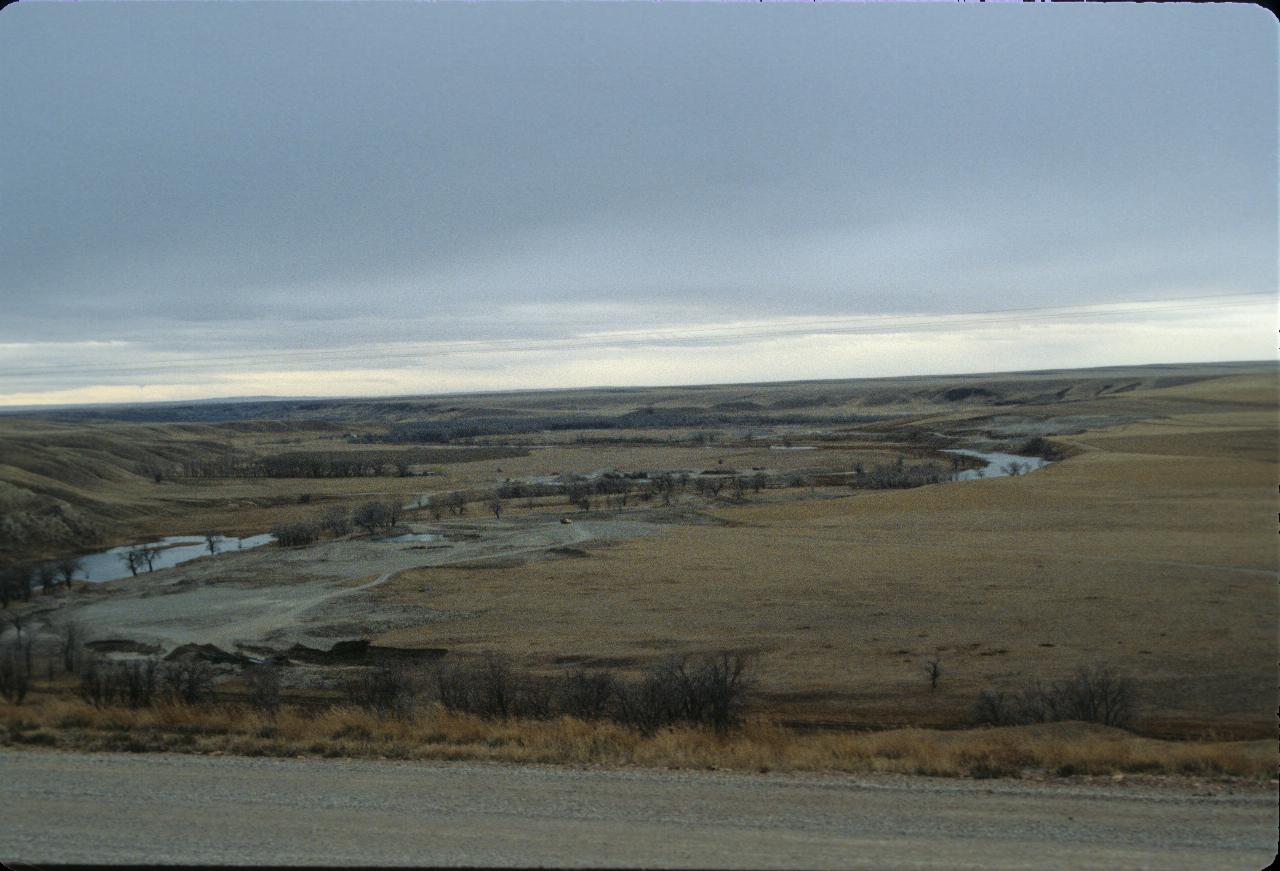
A coolee outside Lethbridge. Over time, the river cuts away the ground.
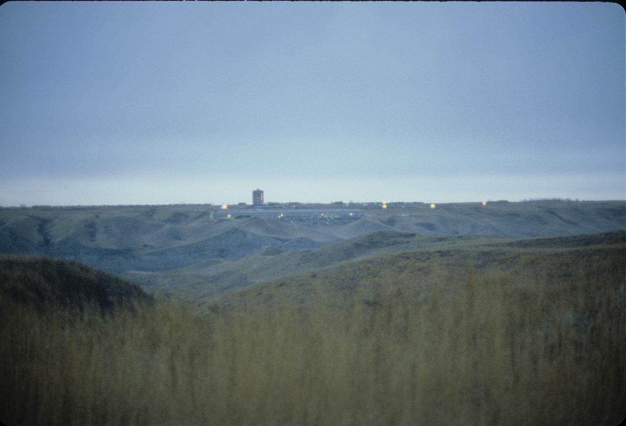
The University of Lethbridge, as seen across the Oldman River from the main
part of Lethbridge.
File matching: NOTHING MATCHES: 'ke7811b037-a.%'
A section of the above photo - just the university building.