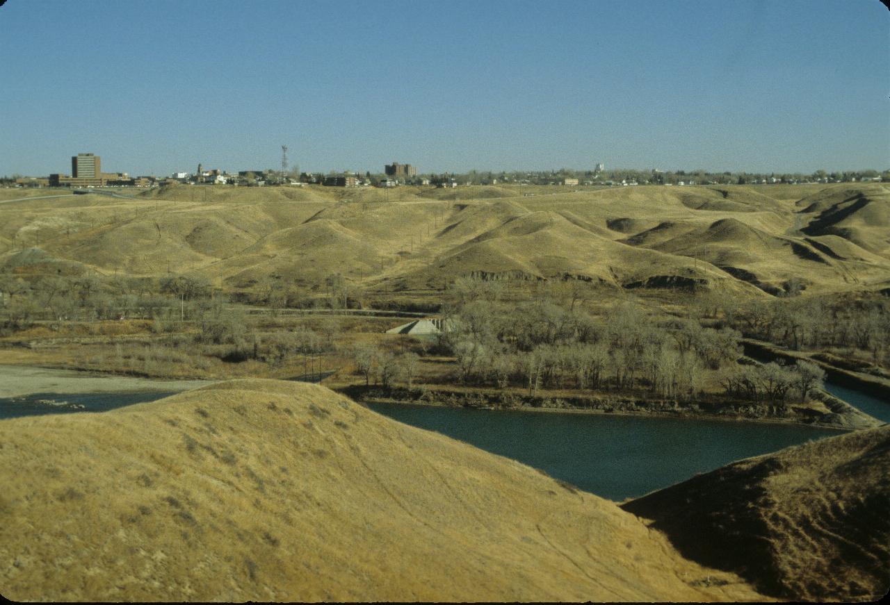
The morning started with a trip to the University of Lethbridge\ , which is located across the coulee from the city centre.

The view looking out across the Oldman River coulee to the main part of Lethbridge.
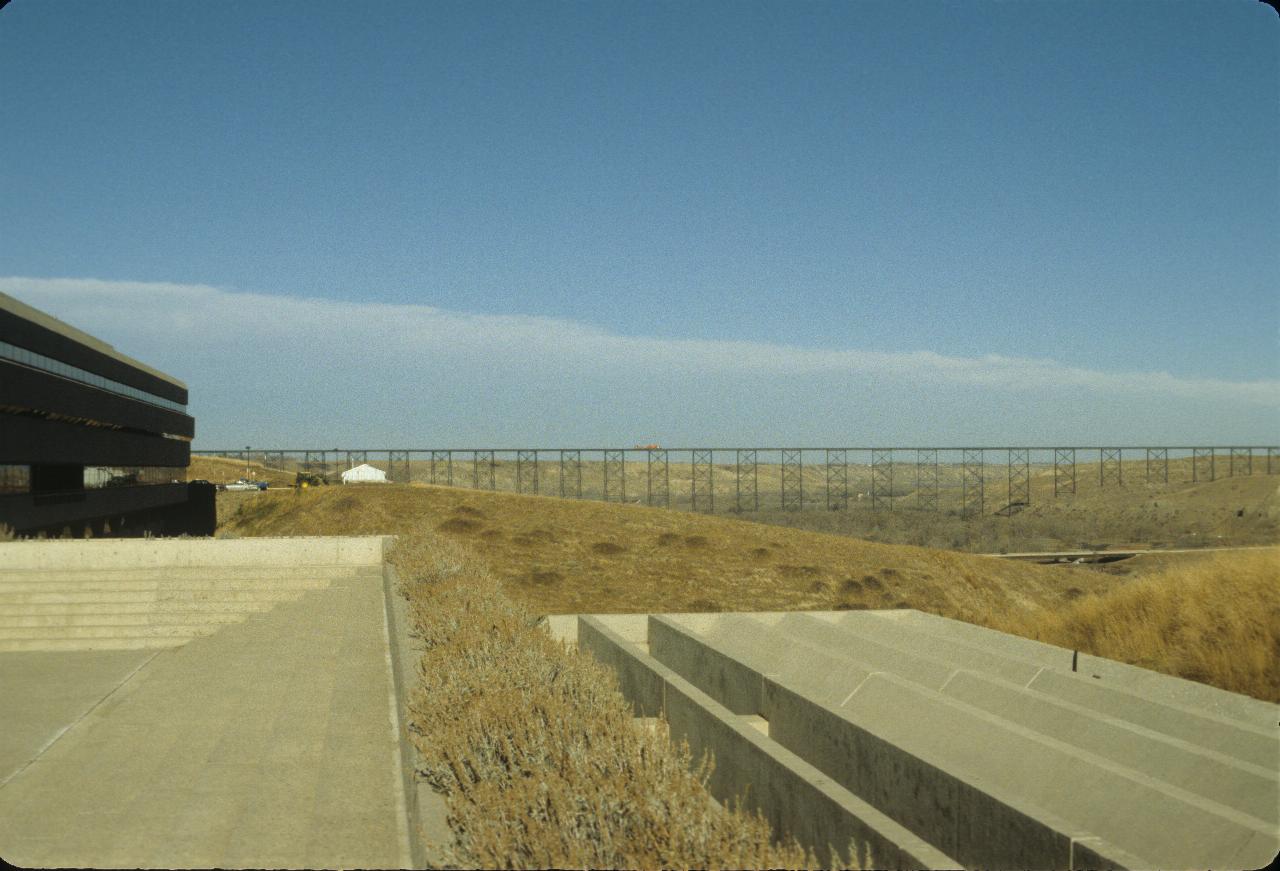
Building on the left is the main building of the university. It is only a
few stories high, but very long. This makes it a large building with little
visual impact on the visual environment. The railway trestle is quite a
structure, and includes a train on it! It is
just
visible in the larger image.
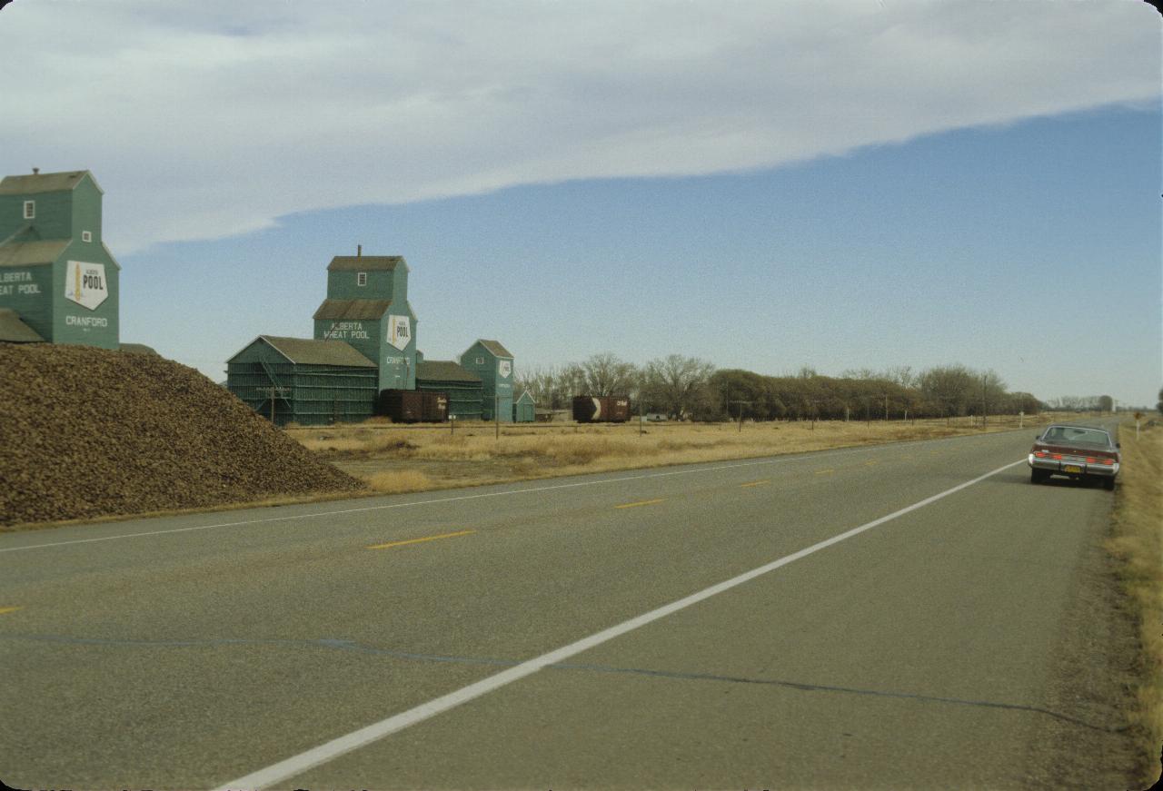
Today's journey was to the east and north. This is a rather typical scene in
the Canadian and US plains. The buildings on the left are grain elevators.
Farmers deliver their grain which is stored here until the train comes along
to collect it and take it to market. The pile of material left centre is
sugar beet, which I believe is used to create sugar, rather than the more
traditional sugar cane of Australia. I doubt that would grow in this climate.
These elevators are in the vicinity of Cranford. which is about mid way between Coaldale and Taber.
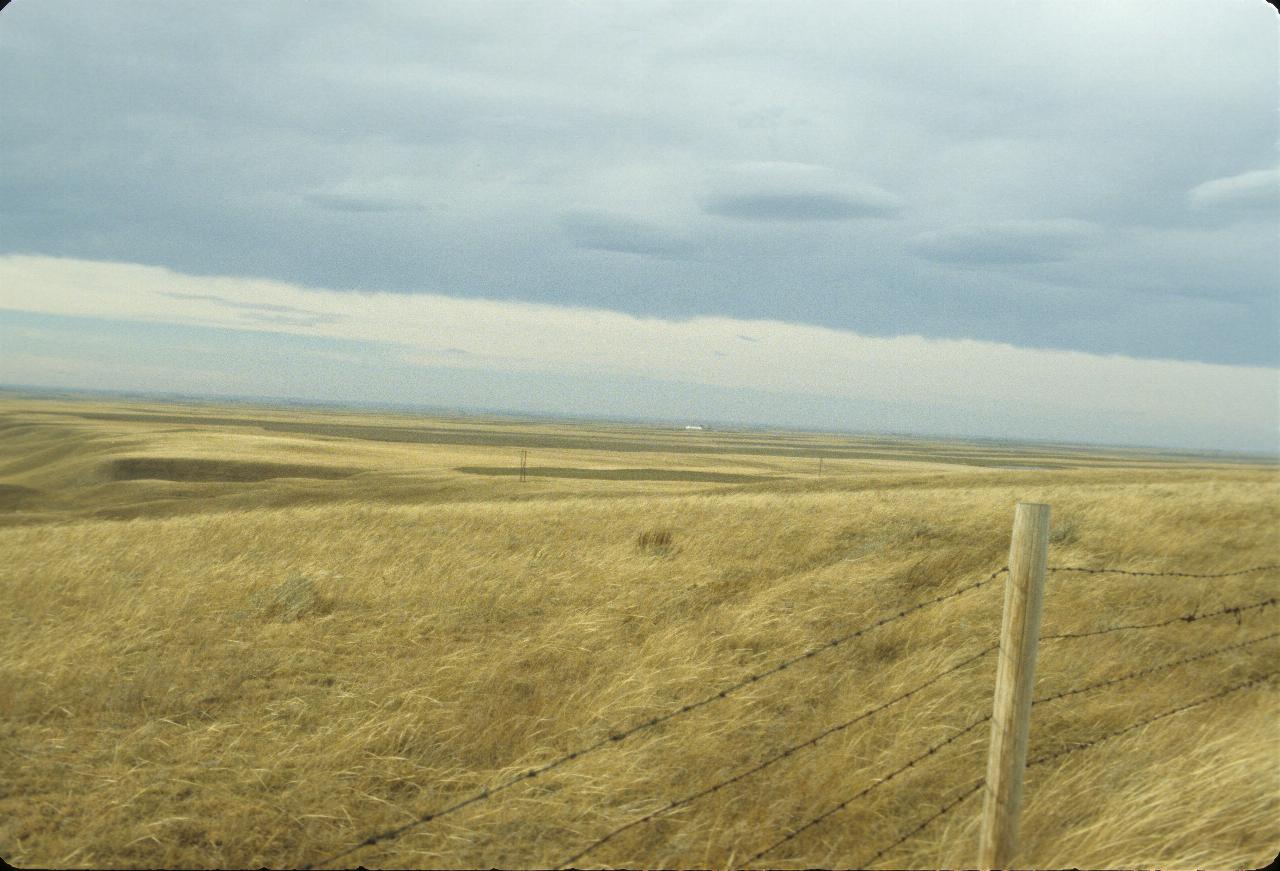
The prairie, about 30 km east of Lethbridge, and looking back that way.
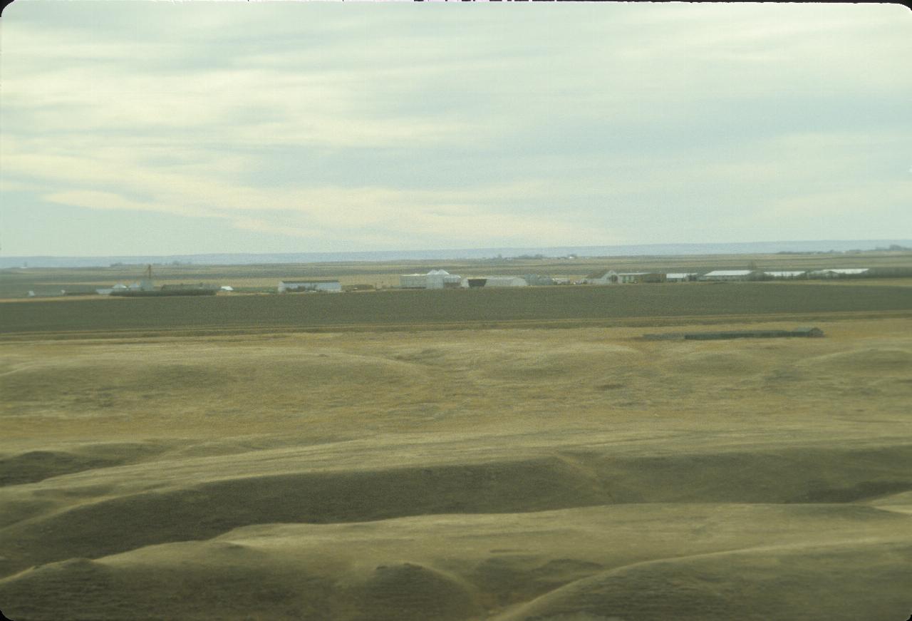
This is labelled as a Mormon settlement near Lethbridge.
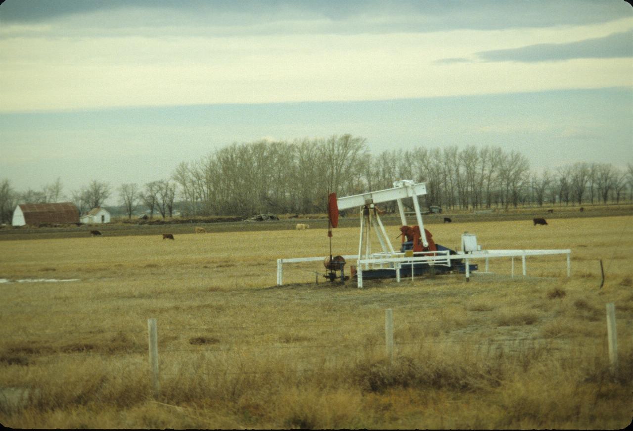
Alberta has oil, being extracted here. There are also large quantities
of tar sands, from which oil can be extracted, though at significant
cost, in dollars, energy used and environmental damage.
This is near Taber.
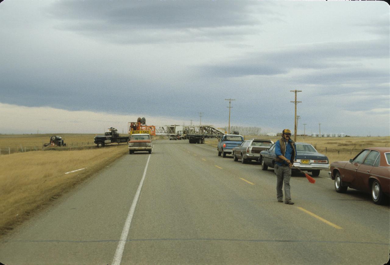
North of Taber, and an oil rig is being moved into a field to being
drilling opreations.
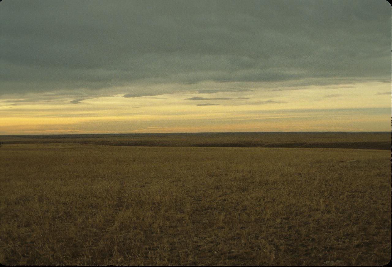
Prairie near Vauxhall, which is NE of Lethbridge and north of Taber.
This is virtually untouched by man.
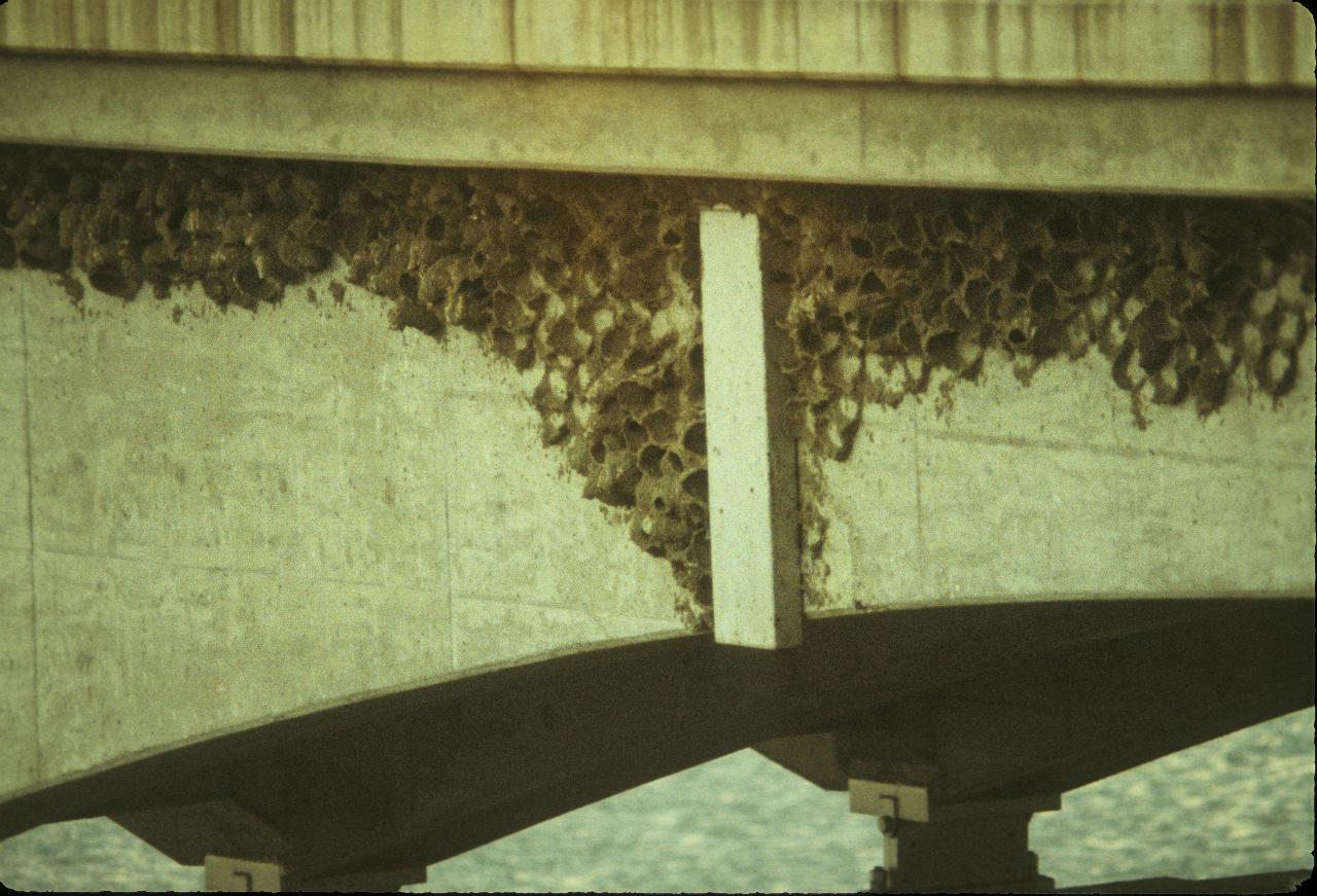
This concrete bridge near Vauxhall has become home to swallows, who
obviously find the structure suited to building nests and be safe from predators.
By November I presume they have flown south for the winter.