

Dig that crazy purple shirt hanging up! This was more of the "this one should be OK, but not a serious picture in case it is not all there." And, indeed, it was not all there, as indicated by the narrower width.
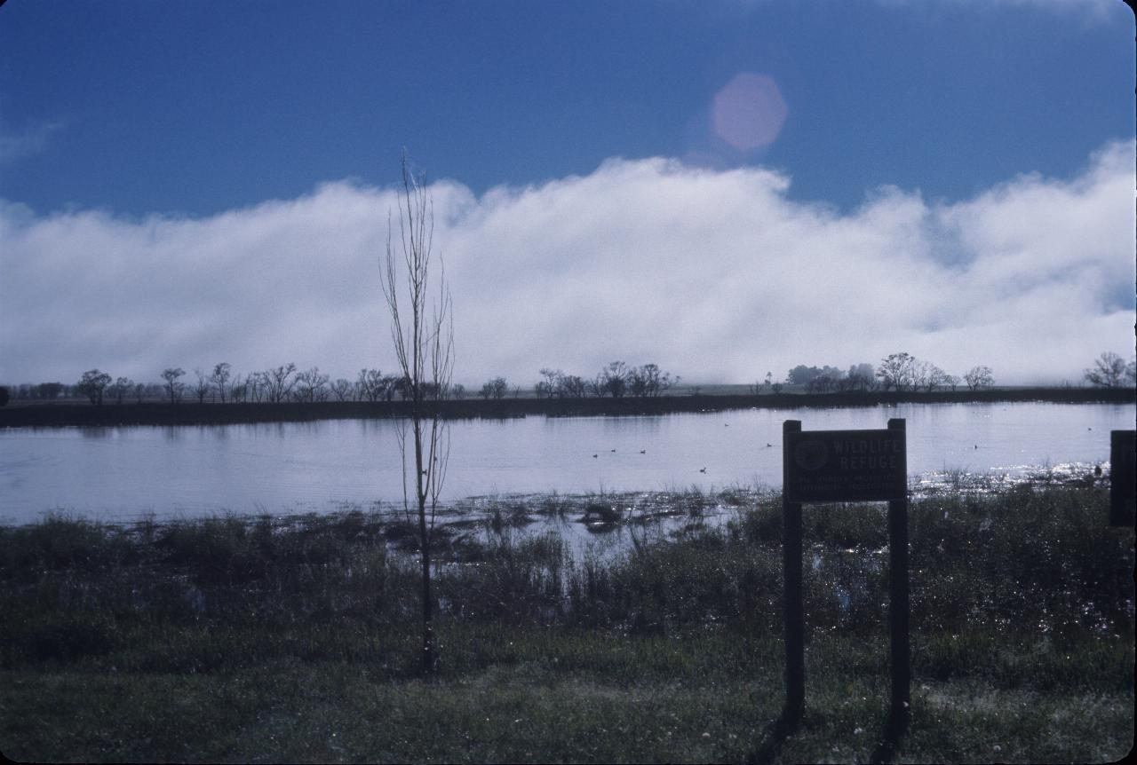
A wildlife refuge (that's what the sign says!) near Uralla, which is south of Armidale. And a refuge it is - there are ducks on the lake.
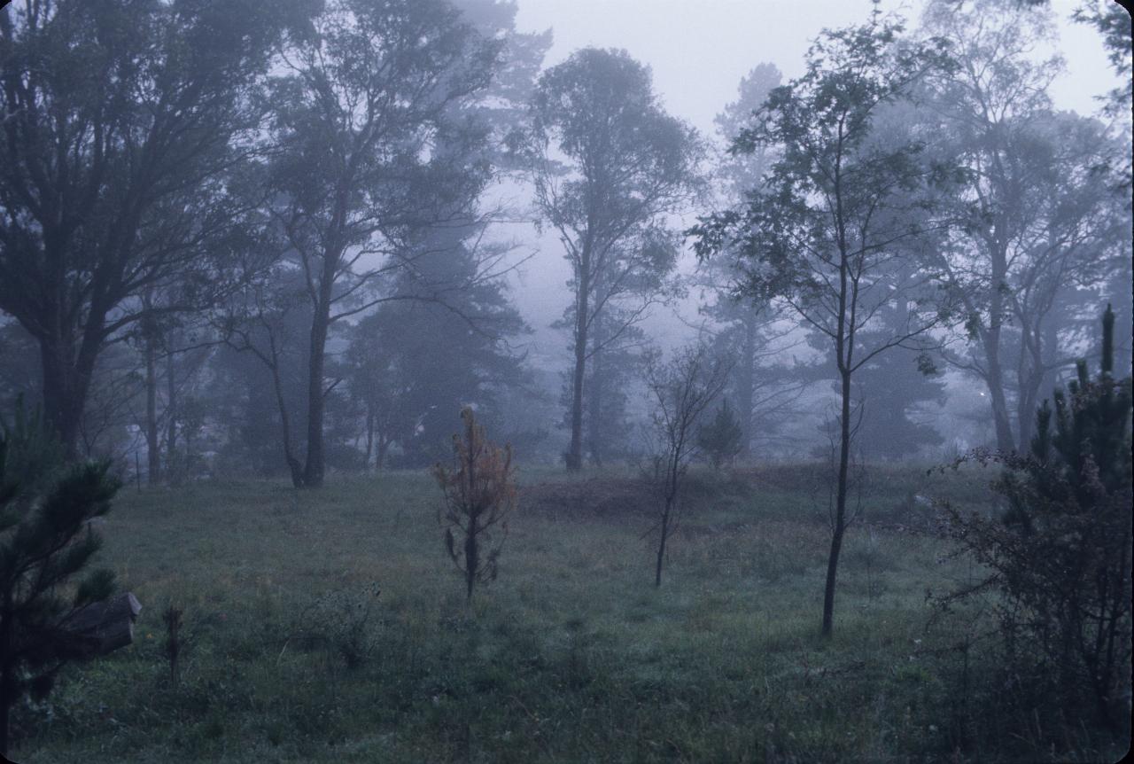
The fog stayed around for a while, as this is near Walcha, some 60km from Armidale.
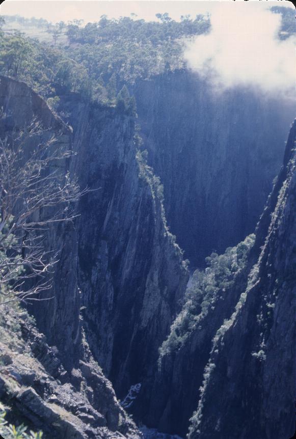
Yes, time for more waterfalls! Walcha is still on the plateau, so there will be more waterfalls in the region. This is the gorge into which Appsley Falls drop, as seen from the Lions Lookout.
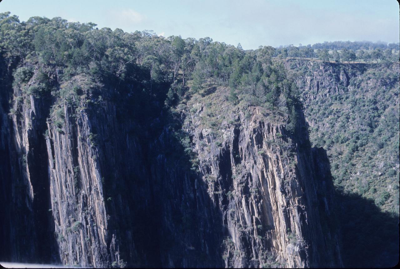
This is still quite rugged country. I suspect the only way out of the valley would be to follow the river downstream.
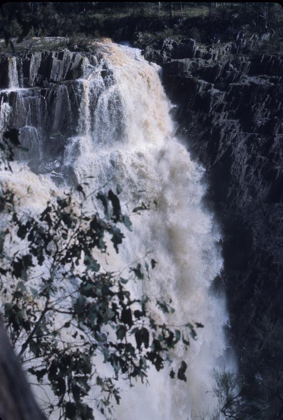
Appsley Falls - surprisingly on the Appsley River, which flows through Walcha.
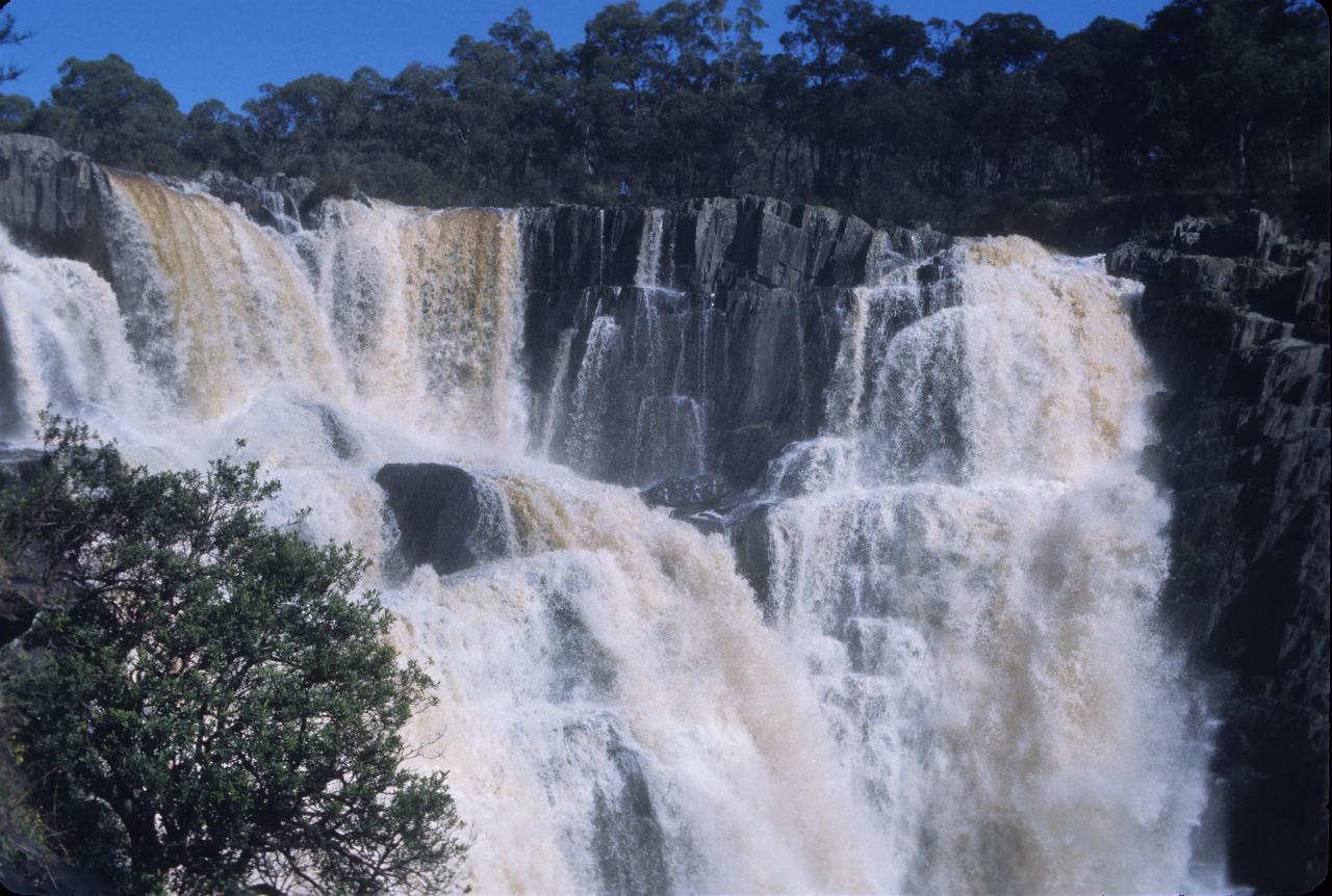
There's quite a bit of water flowing over these falls - by Australian standards. This is still Appsley Falls, just a slightly different view.
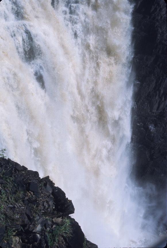
No matter how many streams are at the top, they coalesce into one at the base of Appsley Falls.
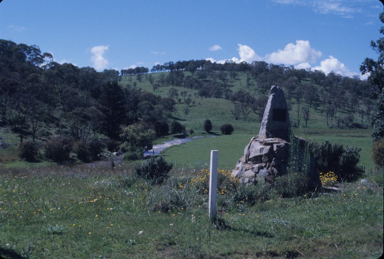
This stone cairn is the Oxley Memorial in Walcha. It's actually 1.5km from where John Oxley - the explorer of this area in 1818 - slept (to the right).
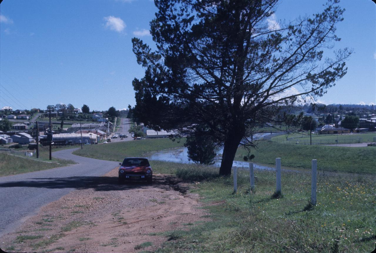
Part of the township of Walcha. Not exactly a thriving metropolis, but a reasonable size town. The river on the right seems to be the one leading to the falls.
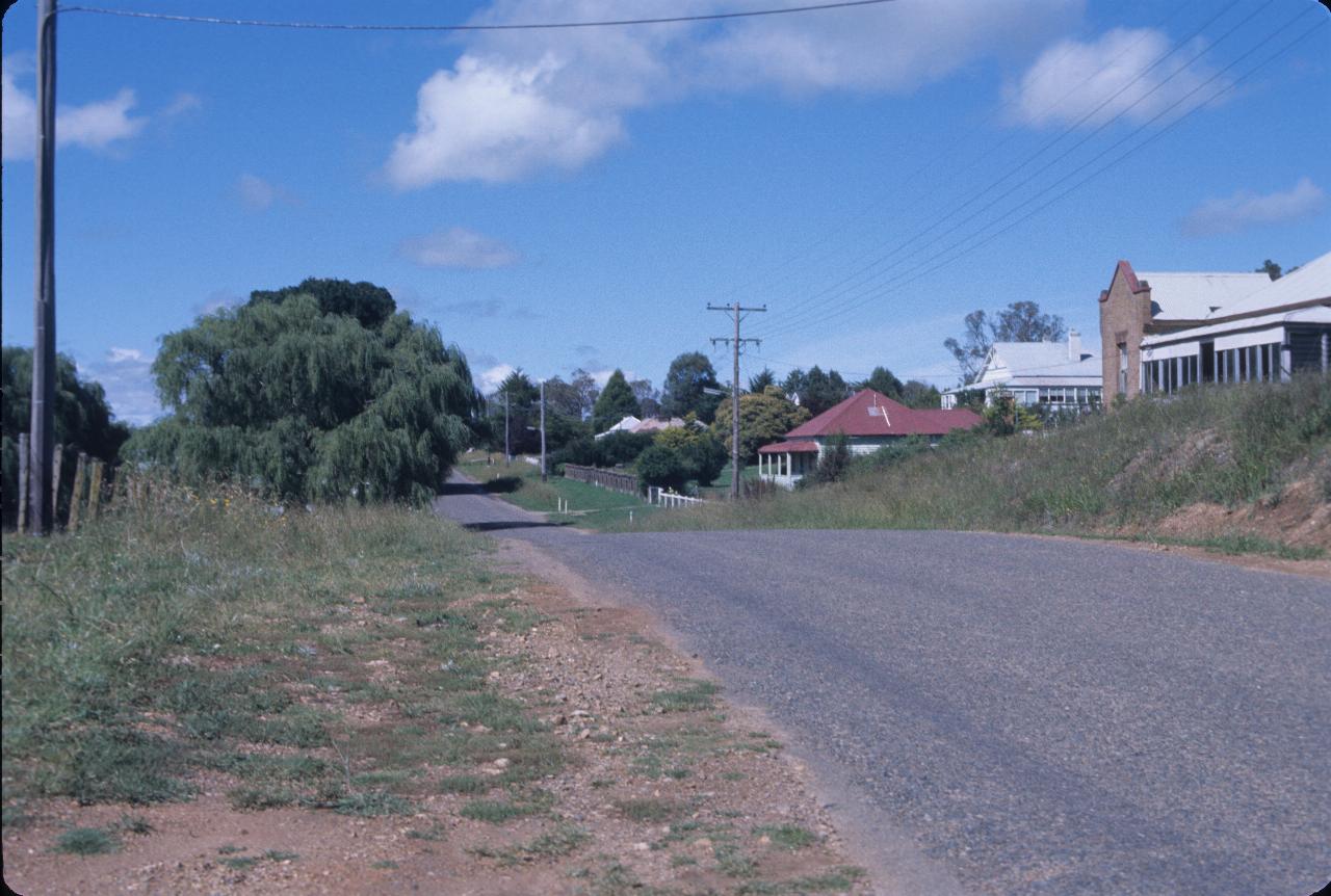
Another view of Walcha - more the residential section.
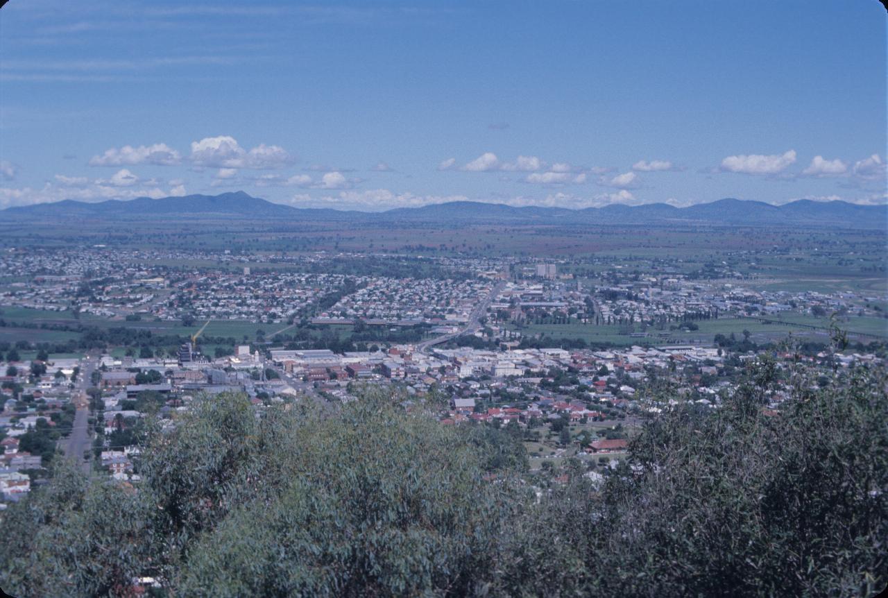
Tamworth is a major city in north western NSW. It's also become the country music capital of Australia, featuring a big name and awards festival in late January. It was also the first city in Australia to use electricity for street lighting! This view is from Oxley Lookout, and is looking towards the west. The green swath through the middle is the Peel River, which floods from time to time.
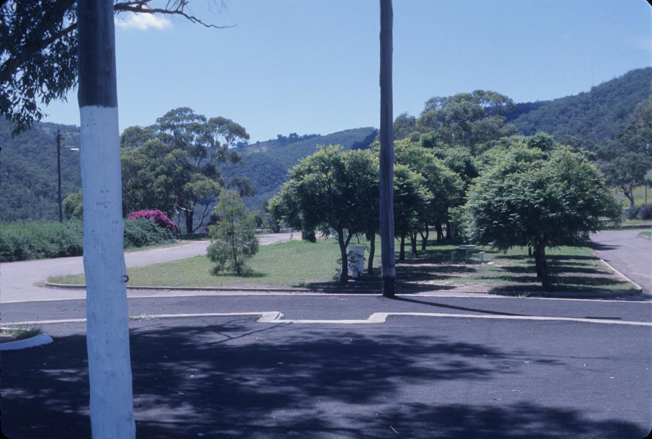
The same location as above, but looking east instead of west. I don't really know why I took this photograph. But for historical completeness, here it is.
From here it was back home to Sydney.