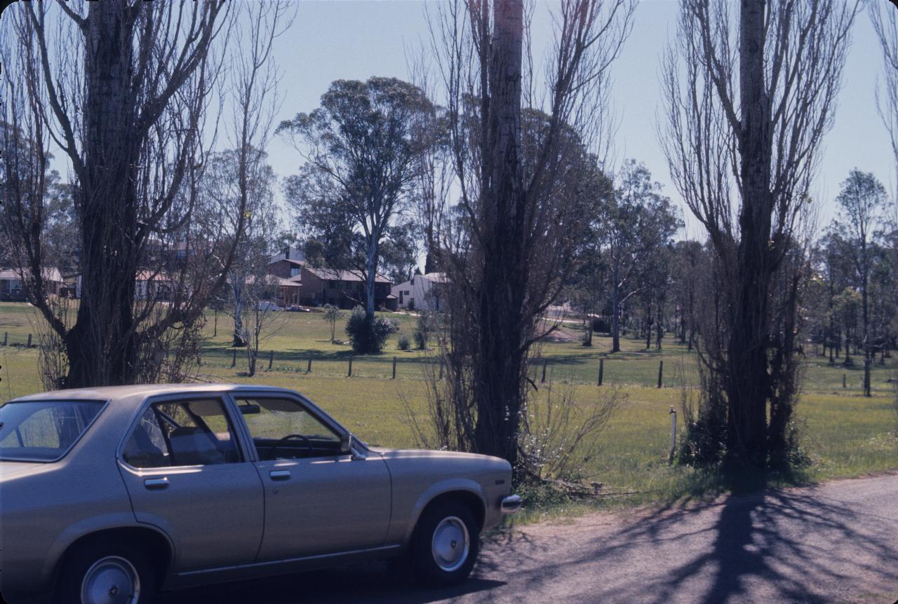
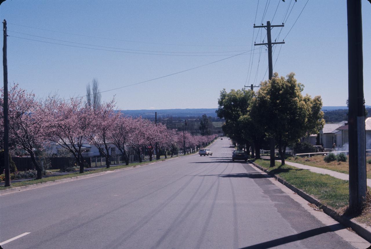
Camden (at the time of this photo) was a small town far past the edge of Greater Sydney. By 2011, it was no longer remote from suburban Sydney. I think this was about the time Dad bought the car seen below, so I presume we decided to go for a drive "in the country" and have a picnic.

The caption on this photo says Camden picnic area. I see nothing obvious for a picnic, though perhaps the facilities were off to the left. Or perhaps we just used a rug and sat on the ground. That's Dad's car, which he thought would be his last, and that turned out to be the case - it outlived him.
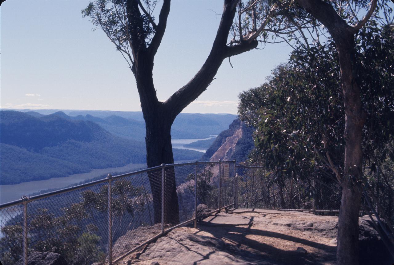
After Camden we headed through The Oaks and then Oakdale to Nattai, where is situated a lookout over the Burragorang Valley. Formerly a farming area and recreational area for Sydney, it became a coal mining area before being flooded in the 1950s and 60s following the construction of Warragamba Dam to supply drinking water to Sydney, and perhaps reduce flooding on the Nepean and Hawkesbury Rivers.
This is the lookout, overlooking Lake Burragorang, and somewhere down there is the former town of Burragorang. Of interest in this photo is the land slip, appearing as the light coloured section of cliff face about mid image.
The very distant mountains are part of the Blue Mountains. The rugged cliffs across the water are typical of that area.
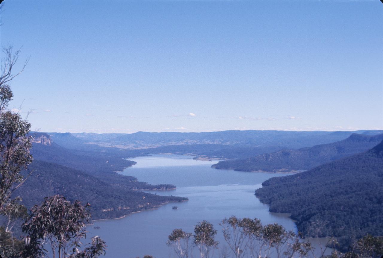
The view looking towards the end of Lake Burragorang, that is roughly looking south. Not the high water level - I think 1974 was one of those wet years which filled the dam. It was last full about 2000.
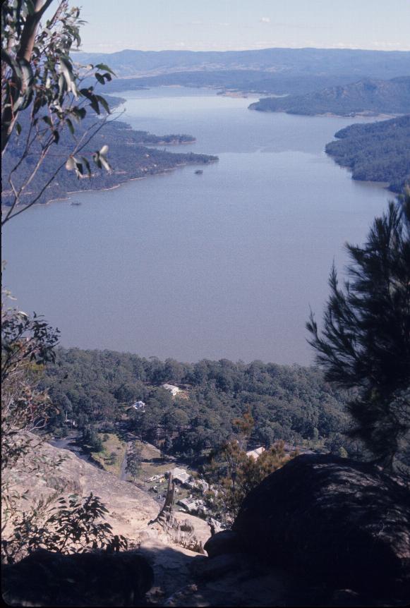
Much the same area, but this also shows some of the mine activity then still in operation. It has since been closed, and all the buildings and equipment removed.
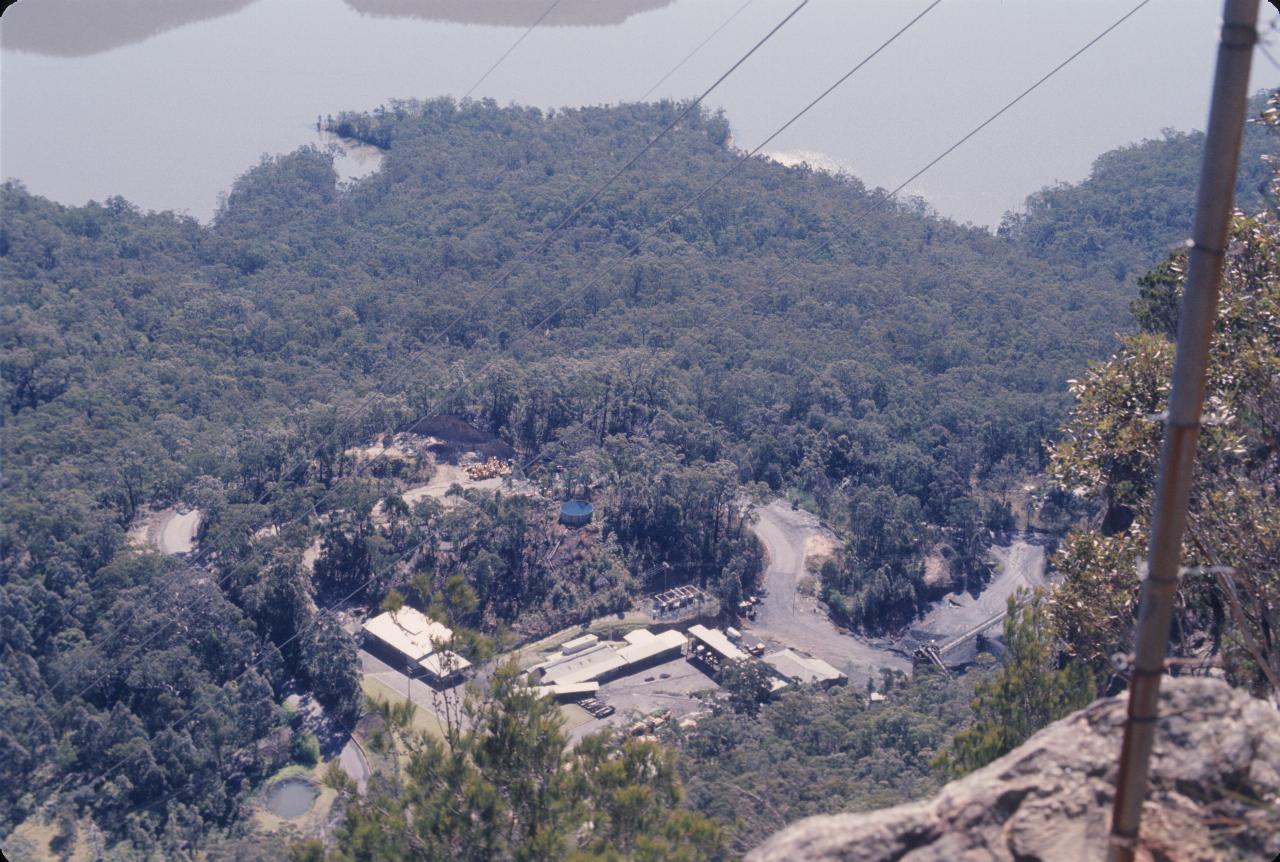
A better view of the mine operations in the Burragorang Valley. Looking down from the lookout in 2011 shows no signs of the buildings shown here.
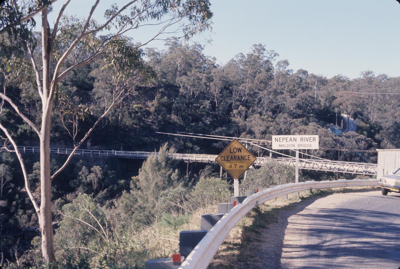
From the lookout we must have headed over towards the coast before returning along the Princes Highway. One route for this involves crossing the Nepean River at Maldon, which has a quaint, single lane, wooden suspension bridge. And this is that bridge - well, it shows part of the bridge. Apart from the building, and the pair of signs. The patch on the "Low Clearance" sign is the result of the recent change to metric units for road signs. That's Dad's car just on the right.
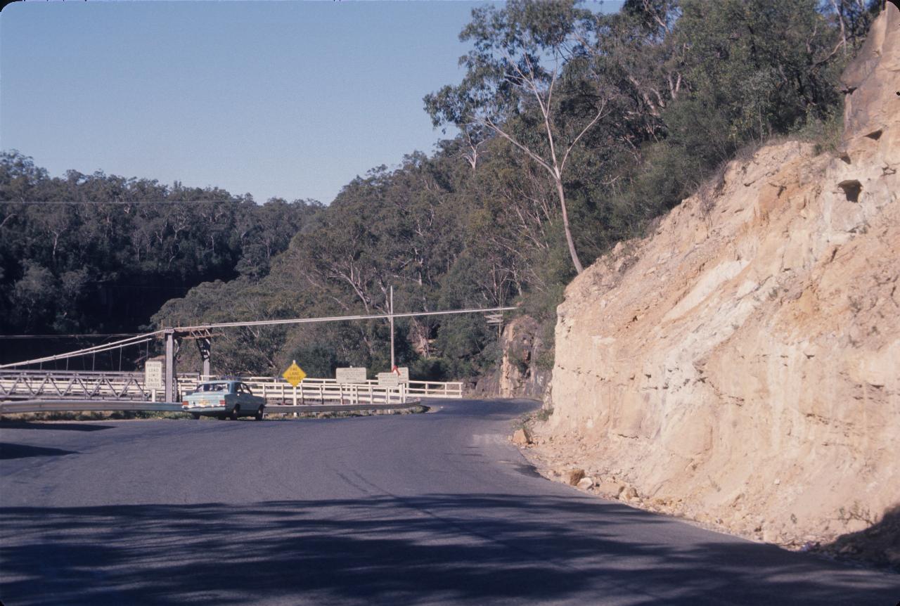
The other end of the bridge, showing the cables heading into the rock (sandstone). It is a single lane bridge, but that blue car is not waiting for oncoming traffic. Perhaps the same idea we had - look at the bridge.
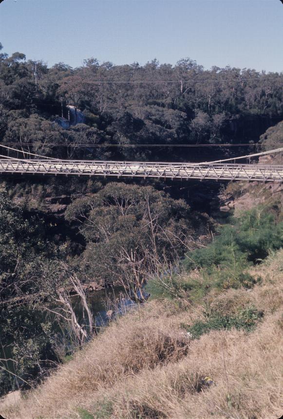
The bridge in portrait mode showing the river below.
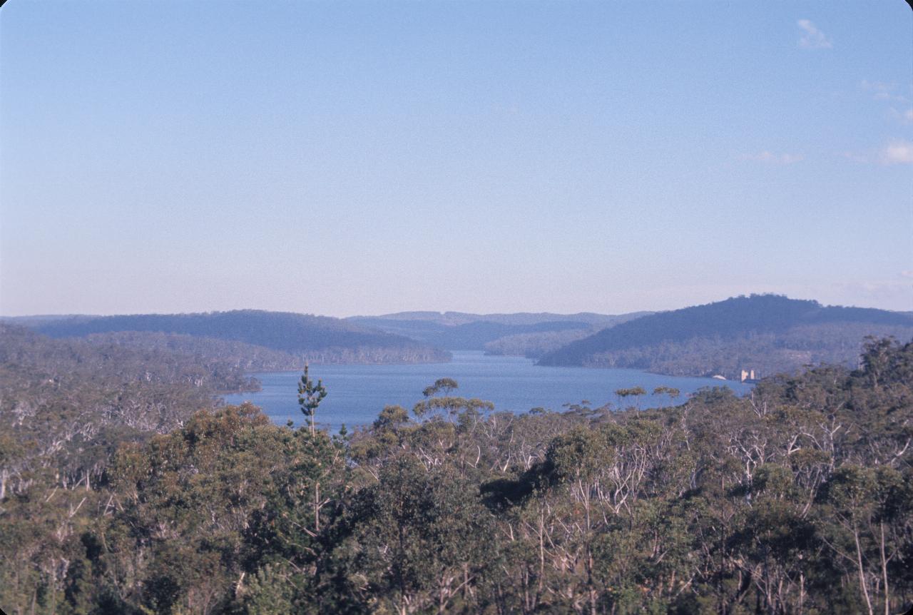
This is the Cordeaux Dam, located off the road from Picton to Bulli Pass. This was one of the early Sydney water supply dams, as the area was relatively easy to dam and the water could be fed down the river to be pumped out downstream from a common collection point serving several dams.
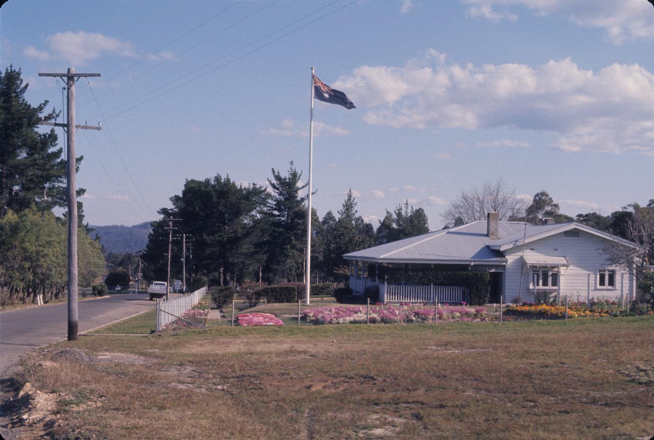
The caption says this is the headquarters for Cordeaux Dam. Like many such instrumentalities of the time, it is nicely maintained.