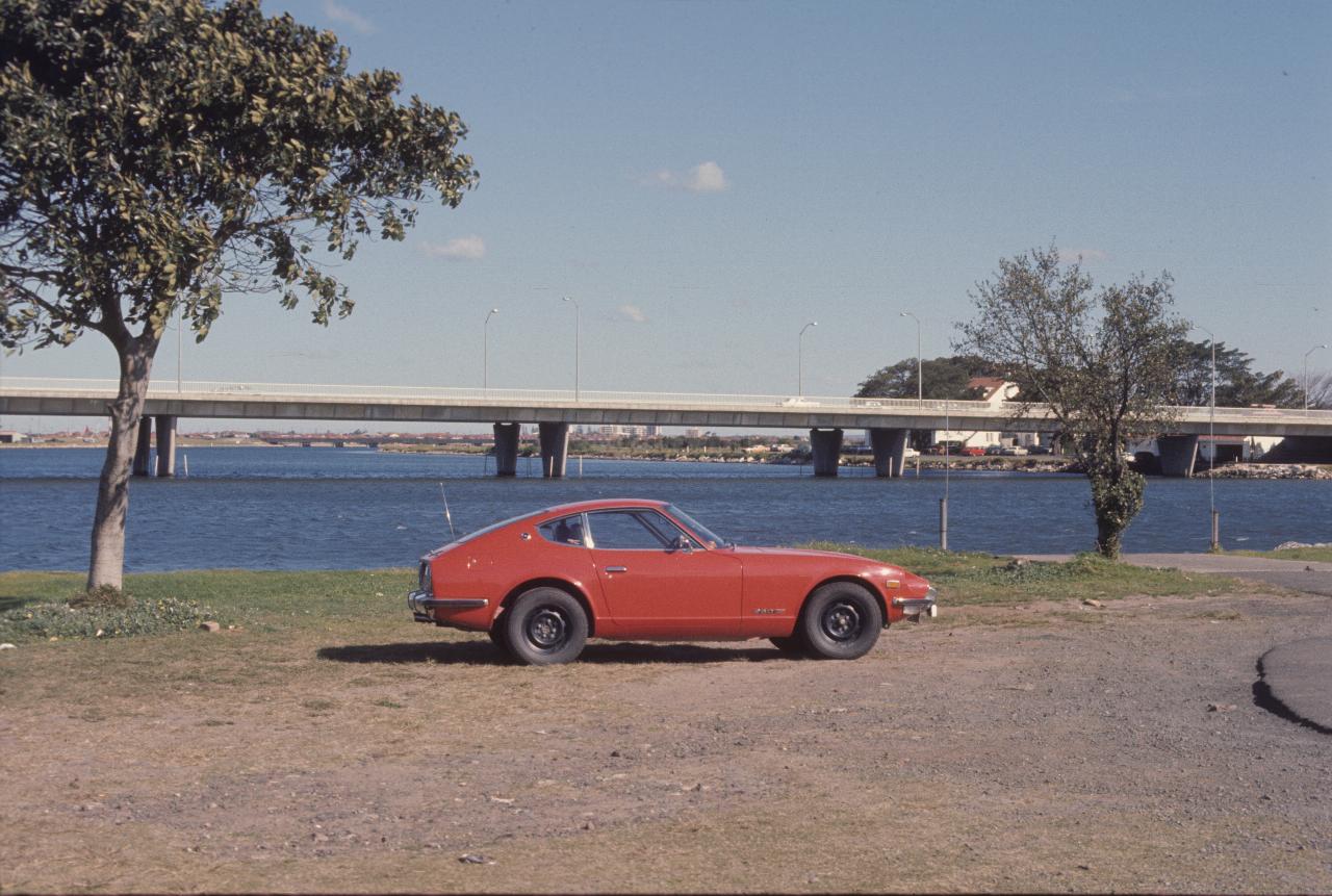
These are scenes around Mascot Airport. Note that the photos really needed a long/telephoto lens to make an interesting view. That's probably why I bought one!

My Datsun 260Z at the Tempe Recreation Reserve. The bridge provides access to the International Terminal (off to the left). Cooks River flows in from the right and flows under the bridge; the Alexandra Canal is on the left.
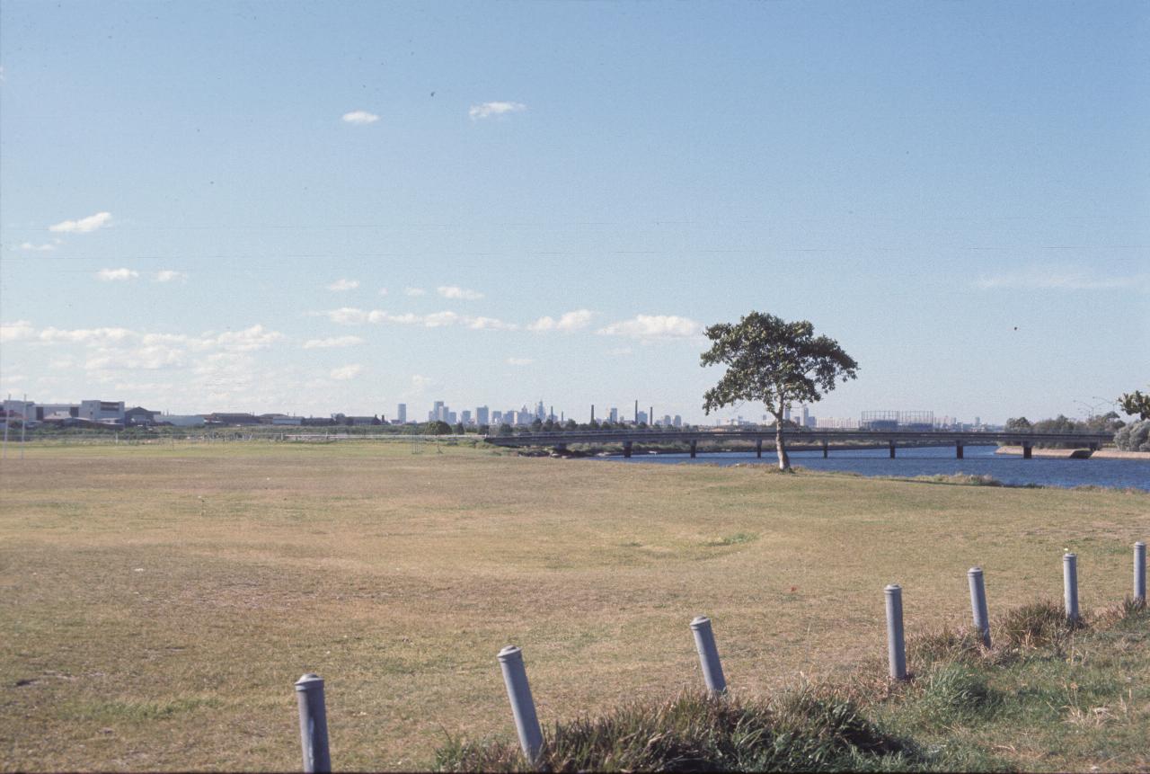
From the same location as the above photo, looking towards the city. The International Terminal is off to the right, and the body of water is Alexandra Canal. The bridge is a road bridge which I have a sneaking suspicion was built to provide access to the International Terminal during construction. It was never opened to the public.
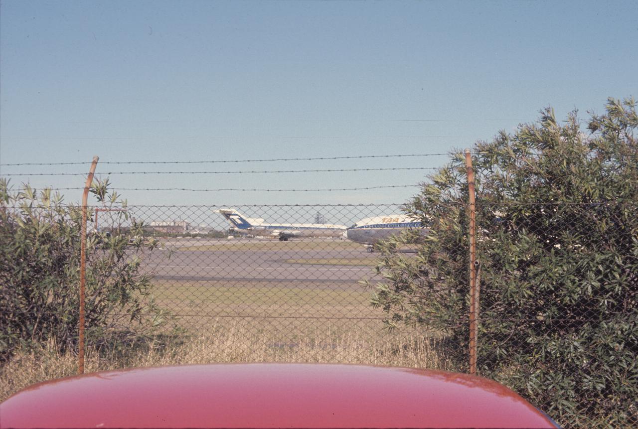
A pair of TAA (Trans Australian Airlines, government owned, which was transformed into Australian Airlines, which then merged into Qantas (domestic)). Note the high level of security - in those old times.
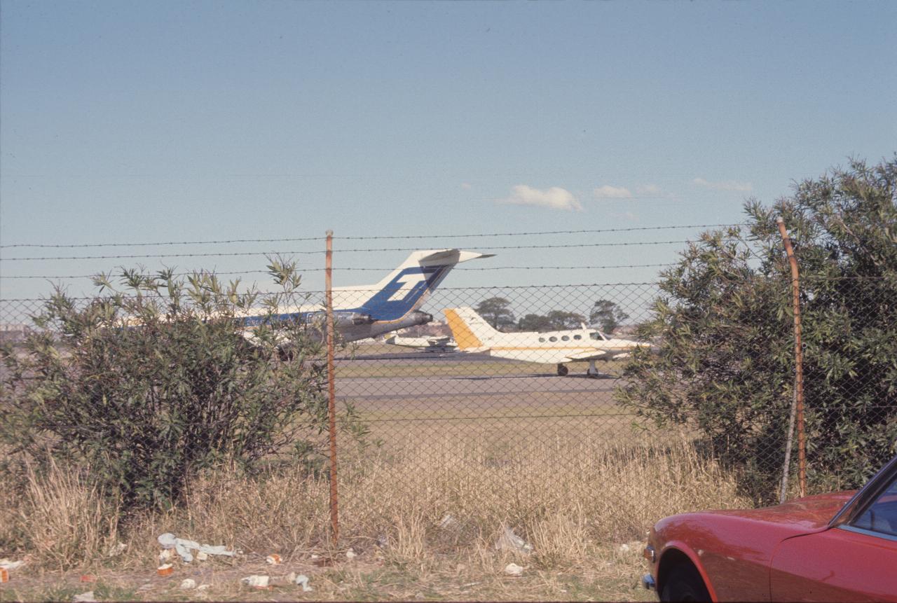
At the same location as above, but showing some of the other types of aircraft in use then. These would have been for regional use, rather than the interstate use of the 727s. Note the rubbish - I don't think we litter quite as badly as that any more.
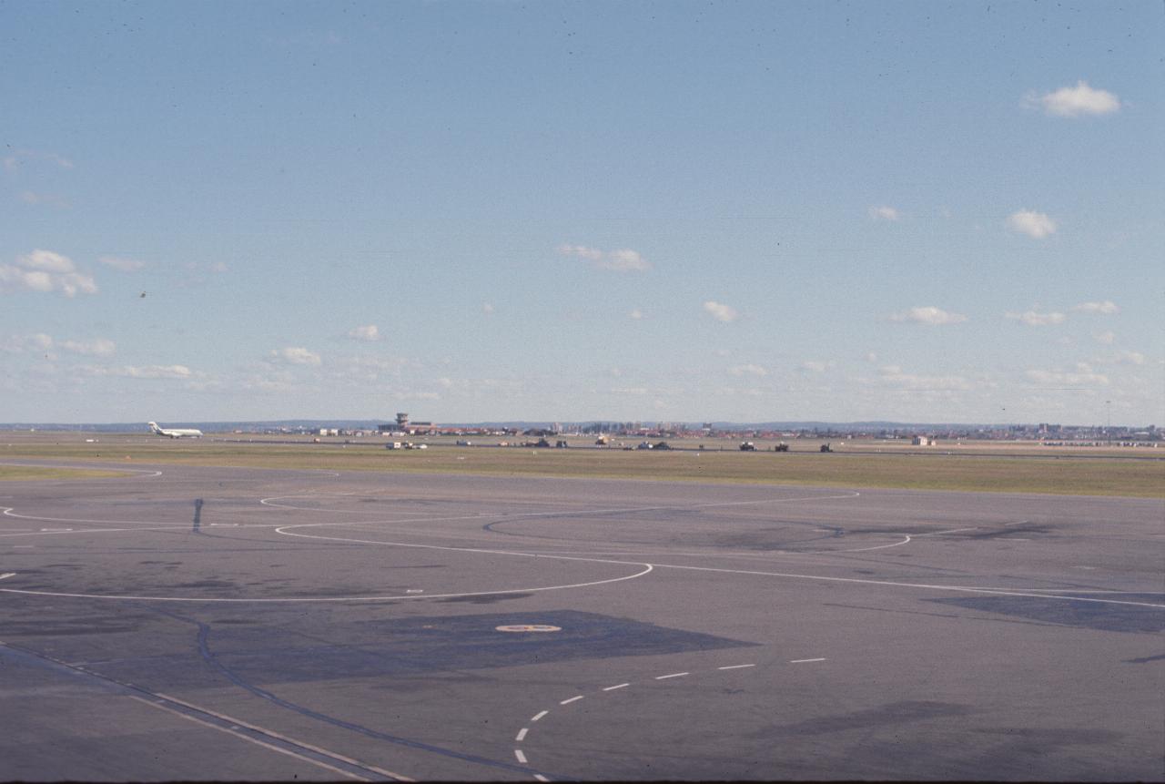
The scene from the top of the TAA terminal at Mascot. That looks like one of their DC-9s landing or taking off on the East-West runway; the North-South runway appears to be under renovation. The building in the left middle of the picture was the (then new) air traffic control centre.
Note that the TAA terminal here is no longer at Sydney Airport. It used to be located midway between Terminals 2 and 3. The current Qantas domestic terminal (T3) was the old International Terminal, and when that moved to the other side of the airport, the old one was demolished, and Qantas built a new terminal in its place.
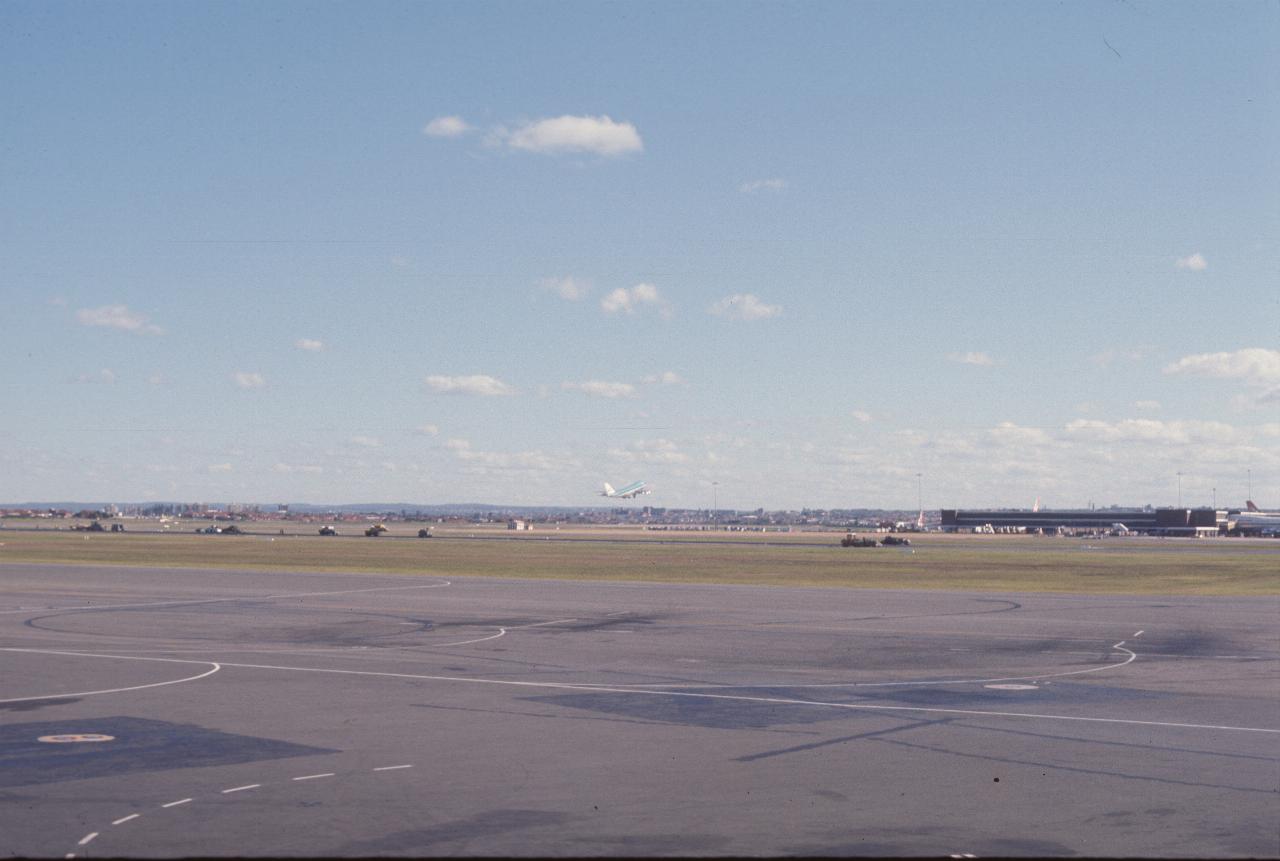
The (just visible) plane taking off is a KLM 747. The building on the right is part of the (then rather new) International Terminal. It is now considerably bigger.
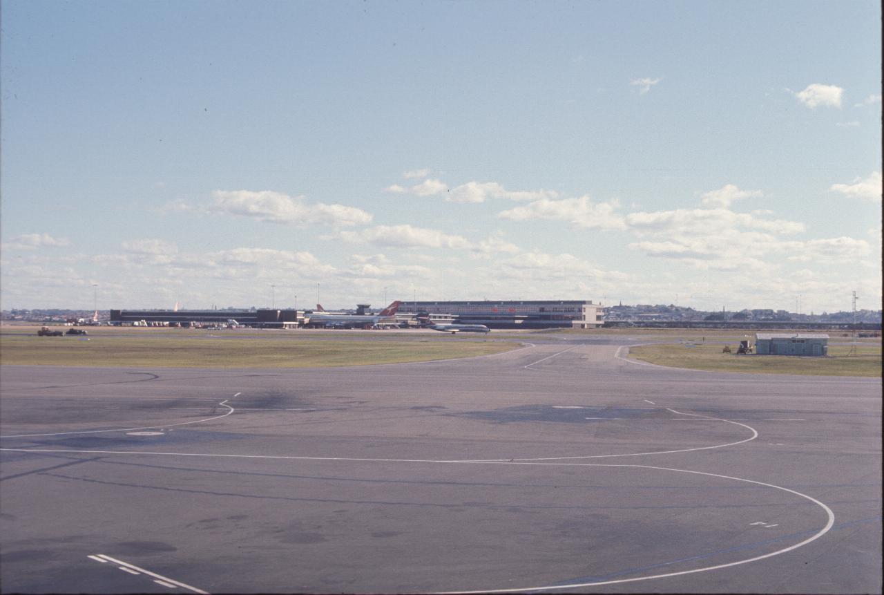
The International Terminal, with a couple of Qantas Boeing 747s at the gates. Also an Ansett (since defunct) DC-9 on a taxiway.
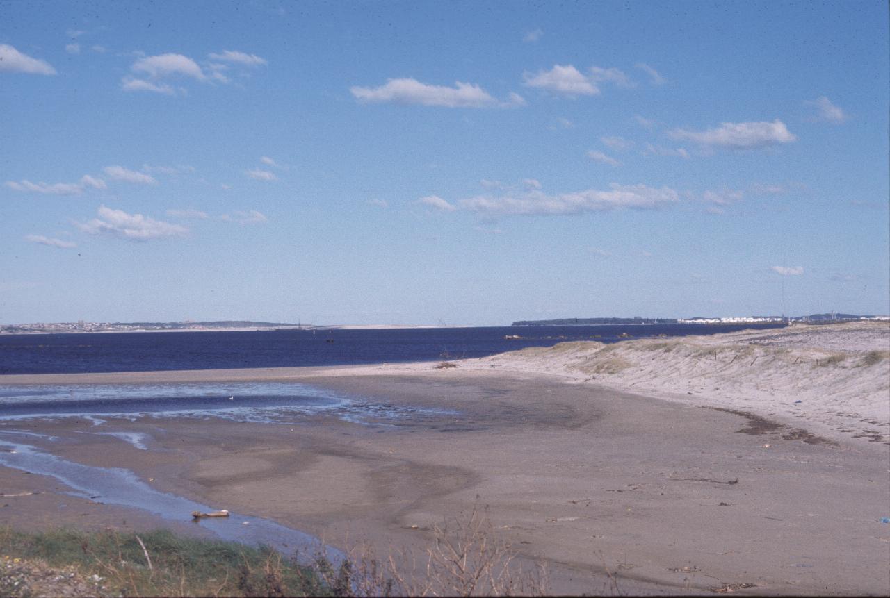
This is likely somewhere near the first runway extension into Botany Bay. I don't know if the runway existed at this time. Obviously low tide, with the Kurnell refinery on the right, and Bunnerong/Malabar on the left. Also on the left it looks like dredging for Port Botany is underway. The caption on this slide says it was near the Hydraulic Model building - before dredging and reshaping of the bay, a scale model was built to model and analyse the changes in the bay by dredging and building operations. That building has since gone too. It was somewhere near where the Port Botany road intersects General Holmes Drive, I think.
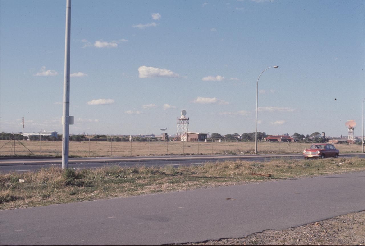
There's a DC-9 coming in to land, just to the left of the radar tower in the middle of the photo. The red car on General Holmes Drive is an Austin 1800, a very roomy car, and the first full size, front wheel drive car on the Australian market, I believe. This photo was taken from the same location as the previous one.