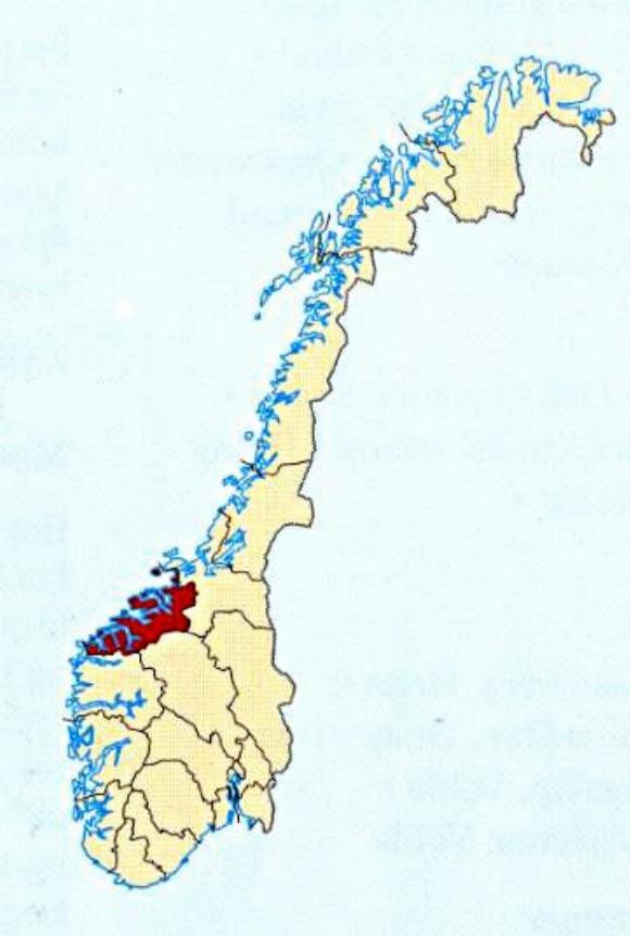
This is a map of Norway, with land being the yellow colour. The darker blue represents the coastal parts of the country, while the right hand edge represents the land border with Sweden, and for the very upper part, Finland and Russia. The red shading shows the area of the next map, although it is only a small portion of that area. I believe the North Sea is the water to the left.
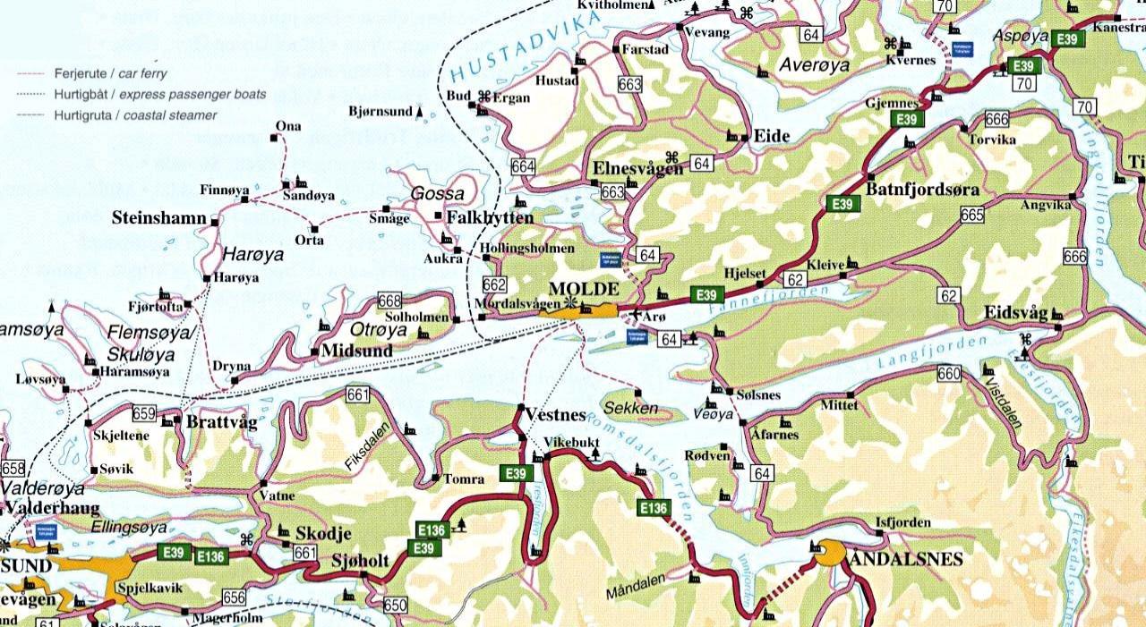
This map shows the fjords around Molde, including the shipping routes. This map is a section of a larger map which covers the red area in the map of Norway above.