The park is named after Montmorency Falls (shown later, and just a little further north east along the St. Lawrence River), which in turn was named in 1603 (or 1630) after the Duc de Montmorency, viceroy of New France. Actually one web page had both dates, but it appears that 1630 might be the correct one, as Montmorency was not viceroy until 1620.
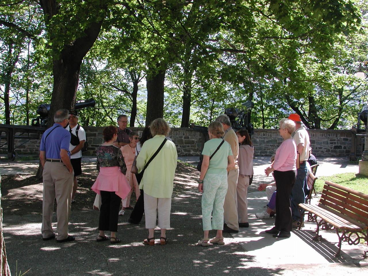
The group assembles at Montmorency Park. From left, Don, Ron, Bev, Peter, Barbara, (just visible) Silvia, Karen, Carol, Paul, Signe, Ann, Greg, and the others sitting down.
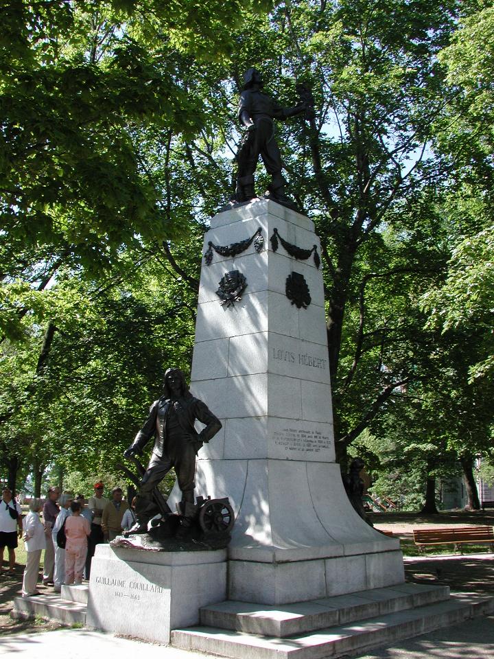
We assembled at the base of this monument to Louis Hebert, who being one of the first settlers, arrived in Canada in 1617, and is remembered as the first farmer in Canada. The park also contains a monument to Sir Georges Etienne Cartier, one of the fathers of Canadian Confederation. (We didn't actually look at that monument!)
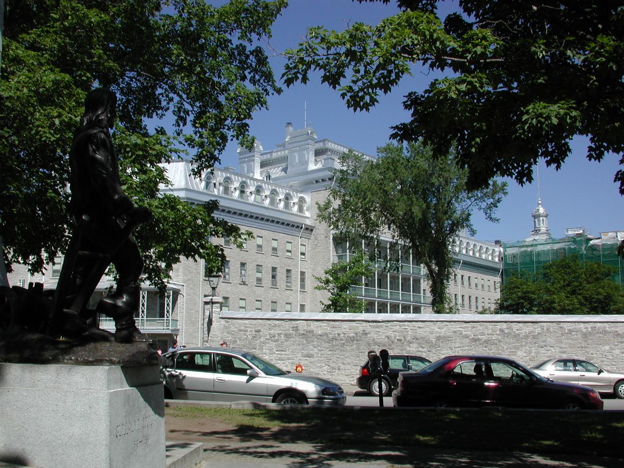
The above statue is just across the street from Laval University's School of Architecture. Note the distinctive style of buildings, typical of old Quebec City.
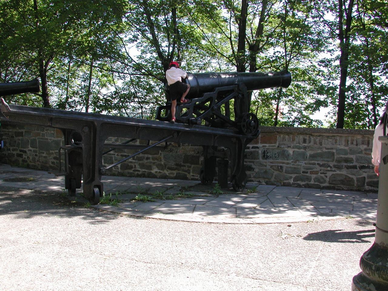
Being on a cliff overlooking the river, this area was, naturally, well suited to placement of artillery. Note that the mechanism is pivoted at the end near the wall, and can thus be swung around, allowing aiming along quite a long stretch of the St. Lawrence River below. The wall on the far side of the cannon is part of old city walls.
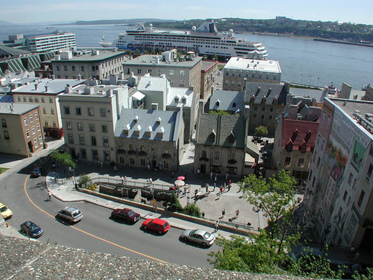
Just a little further along the wall, looking roughly east, across the St. Lawrence River, the main arm of which turns right near the top passing Ile d'Orleans. The road at the bottom is Cote de la Montagne, one of the few roads linking the lower and upper Old Town sections. Note also the building on the right hand side - it's covered with a mural. There's a better view of another such building a bit later.
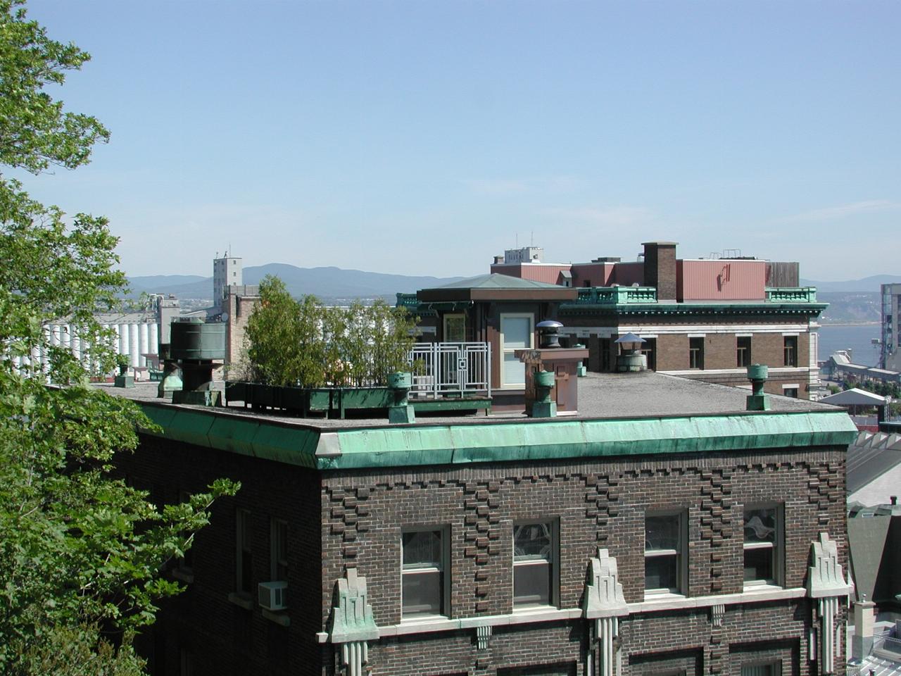
Roof gardens are common in this part of town - IF you have a flat roof, which is not all that common. And since this one is at the same level as Montmorency Park, then a little privacy (in the form of bushes) is nice!
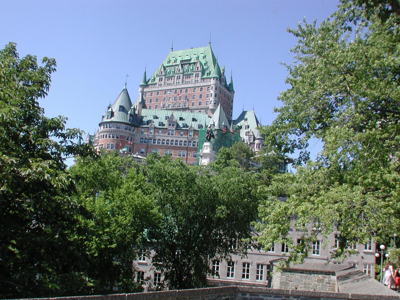
Also visible from Montmorency Park (and much of Old Town) is the Chateau Frontenac which was our home for this part of the tour. You'll be seeing more of it! It was built by the Canadian Pacific Railway, one of a series of luxury, chateau style hotels across Canada (as far as The Empress on Vancouver Island!). Designed by Bruce Price, it was built in 1893. The 17 storey medieval tower was added in 1917. The hotel is named after the French Governor who challenged invading Americans with "I'll answer with the mouths of my cannons and the shots of my firearms!"
During World War II, Canadian Prime Minister McKenzie King hosted Winston Churchill and Franklin Roosevelt in the hotel, and it was also where the United Nations Food and Agriculture Organisation (FAO) was created. All of which is commemorated with plaques on the front of the hotel.