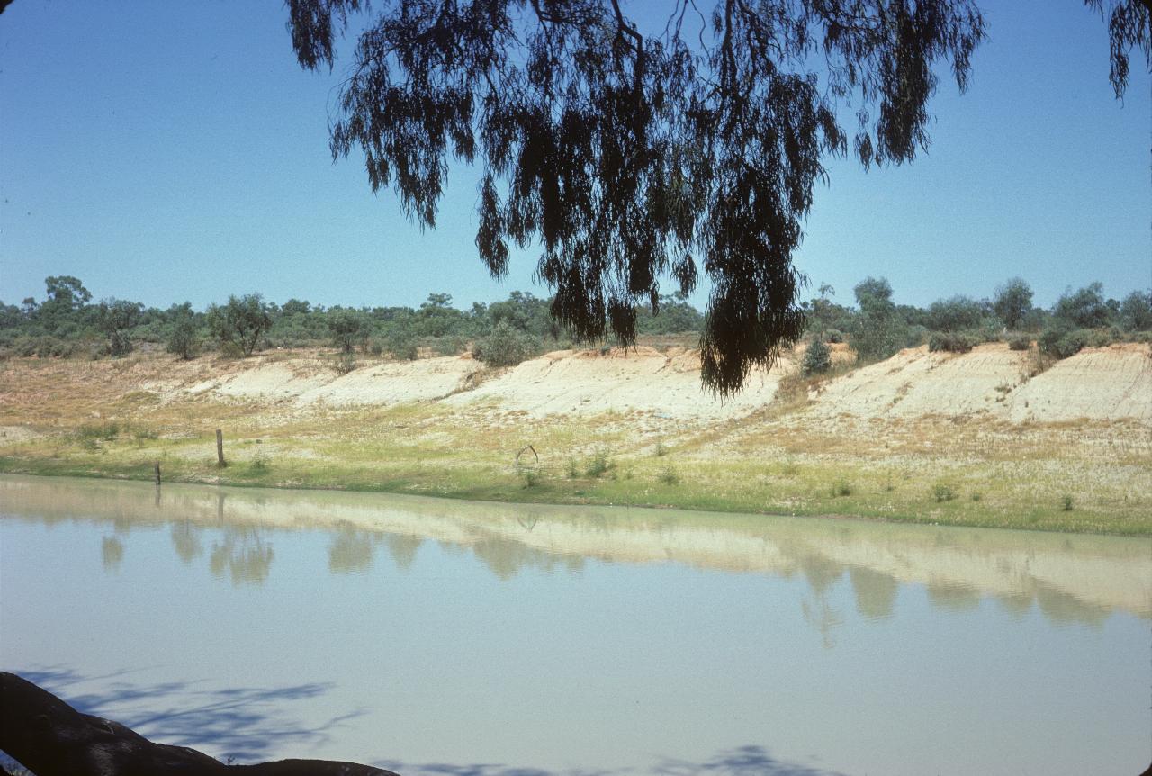
The Darling River at Menindee - the town, that is. Being the main means of transport, towns were built close to the river. Menindee is no exception.
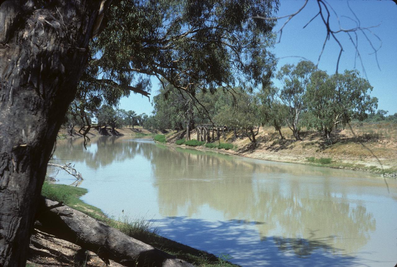
A more vegetated section of the Darling River at Menindee.
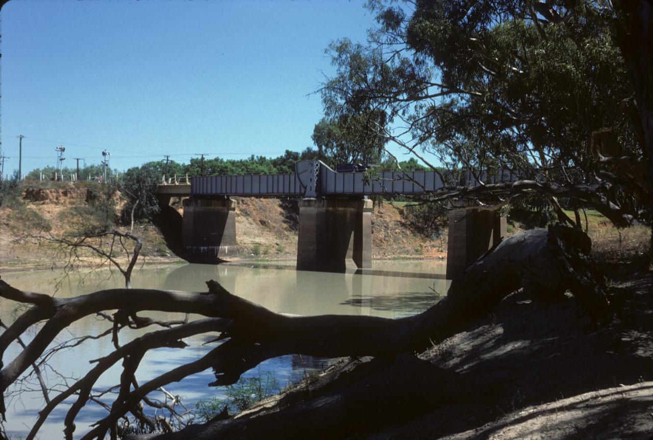
Newer means of transport require to cross the Darling River.
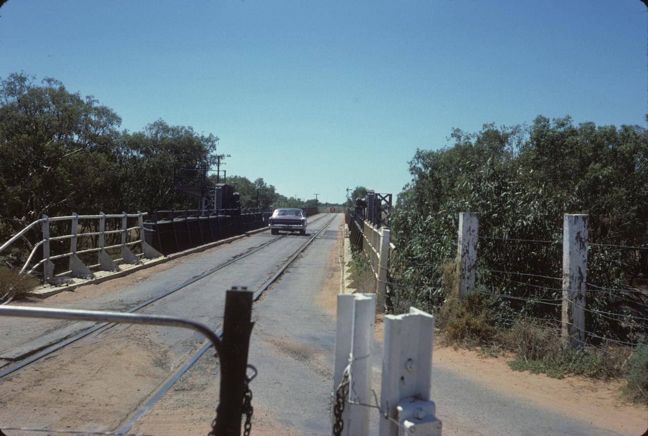
Shared road/rail bridges are not all that common, but there is one at Menindee. Even more unusual when this is the main rail line from Sydney to Perth! Currently (2011) satellite photos show the bridge is still in use for both purposes. Menindee is behind and this is a dirt road leading to farms. There is a road only bridge across the Darling River in Menindee; that leads to a road that heads to Wilcannia in one direction, and Pooncarie which is downstream on the Darling, about half way to Mildura and the Murray.
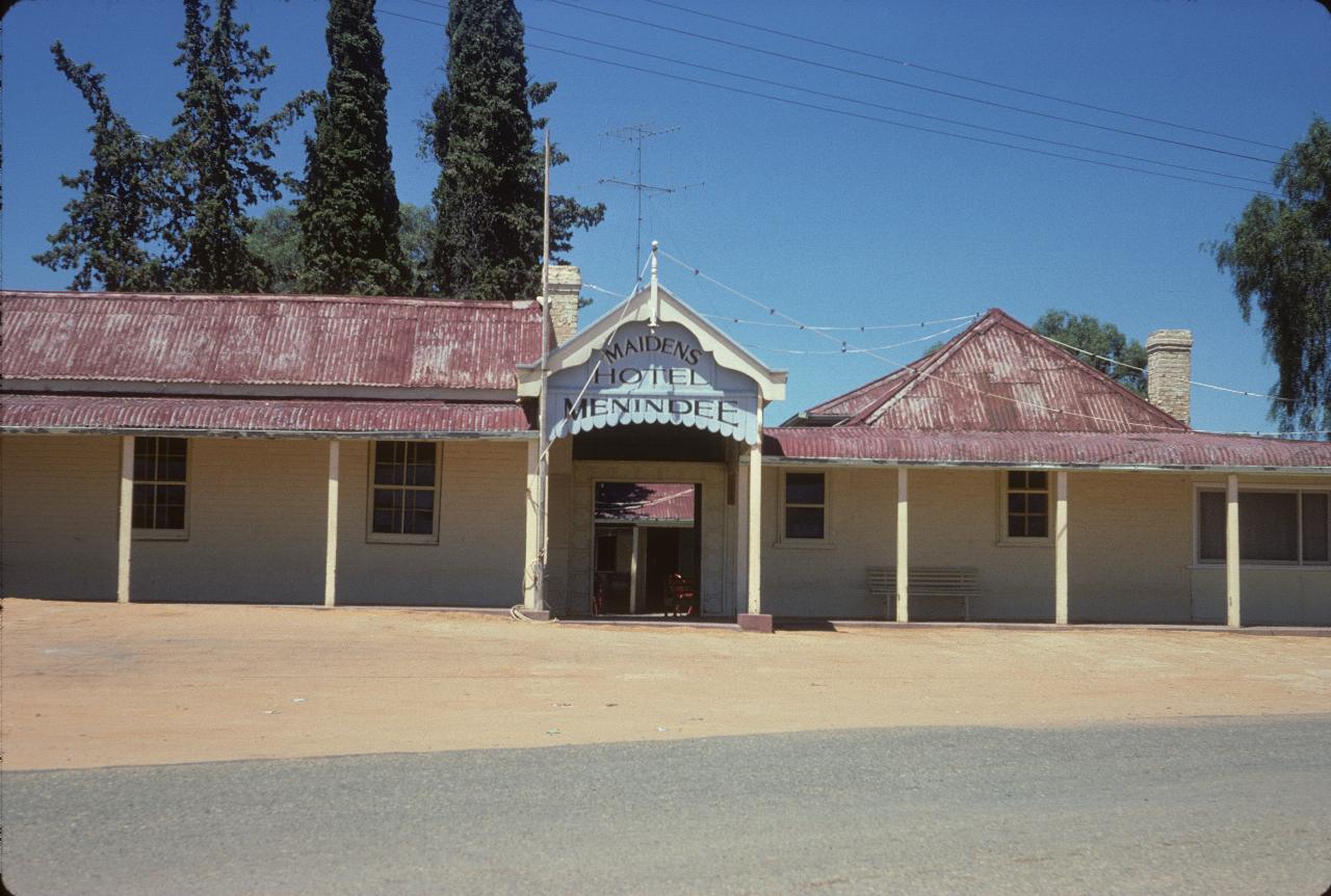
The famous Maidens Hotel in Menindee. Famous because the ill-fated Burke and Wills Expedition stayed here for 10 weeks starting October 1860. Sadly, this building is no longer here, after a fire on 23rd April, 1999. Rebuilding resulted in the bar opening on 1st July 2000.
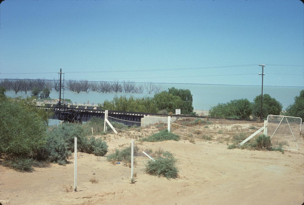
Where the rail line to the west crosses through the Menindee Lakes Scheme.
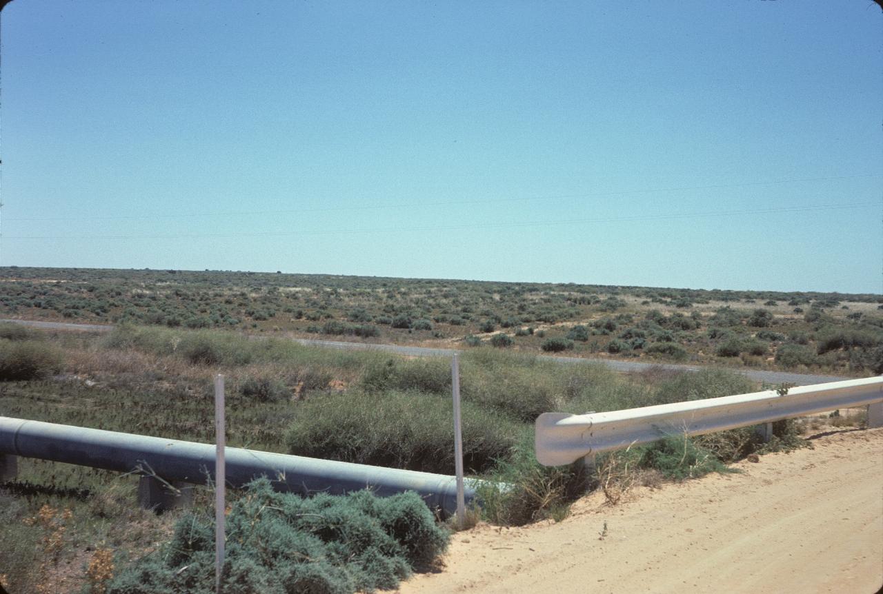
Not exactly prime agricultural land, but typical of the country in this area. The pipeline is the one feeding water to Broken Hill.
The main reason for why there is a Broken Hill and being located where it is: mining. Silver, lead and zinc mines. There are 3 mines in a line over the ore body. So, naturally, it seemed that I should go on a mine tour. The middle mine is mostly mined out, I think, but opened up for tourists about this time.
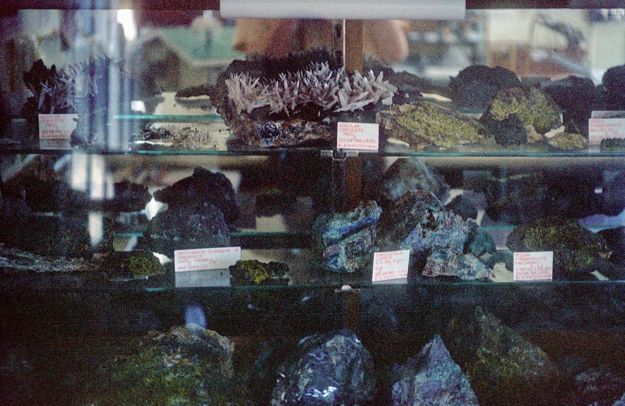
This photo is a collection minerals/crystals from around the area, and is in the waiting room at the beginning of the tour. The tour is over the MMM Mine - Mining, Minerals and Metallurgy is the name I remember for MMM.
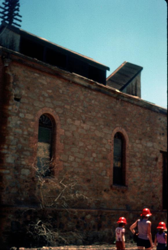
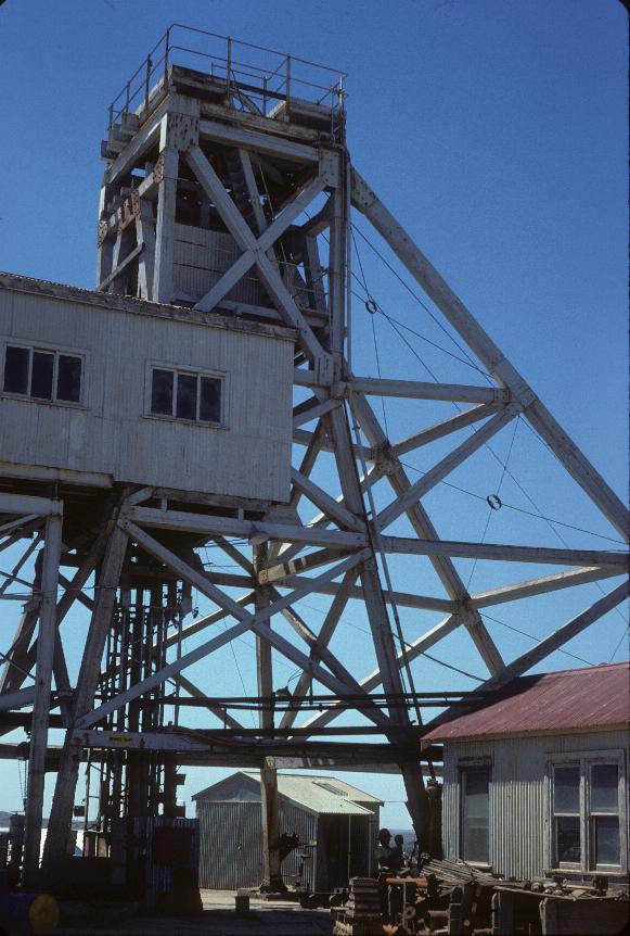
As the mines opened in the late 1800s, there was no opportunity for an open cut operation, so they were all underground mines. Thus requiring winding houses to hoist miners into and out of the mine, and ore out. This is an early winding house. But of very permanent construction.
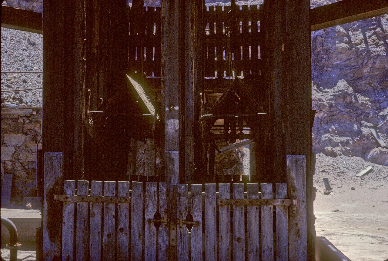
The business end of the winding house - the elevators used to haul ore out, and take miners to and from the working level of the mine.
The side on view of the shaft. The above photo was taken on the left of this picture.
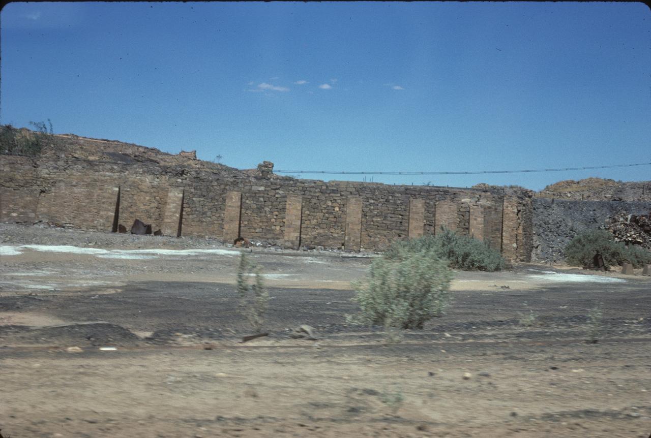
These are the foundations of an old smelter building at the MMM mine. There are cracks in the foundations at the right hand side; the tour guide says these were from subsidence, which is hardly surprising.
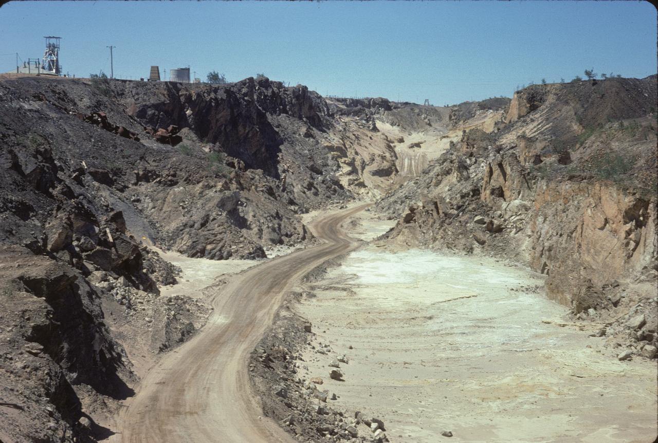
Come the advent of serious digging machinery, the mine was partly turned into an open cut one. This is that section.
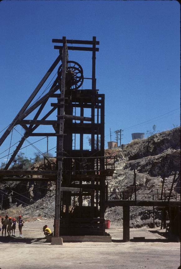
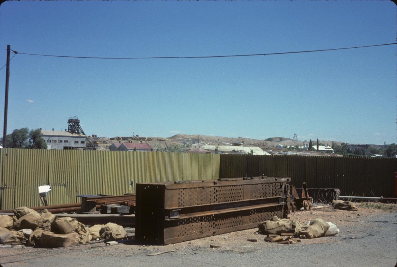
A more modern winding tower, with probably a much higher lifting capacity than the old one above.
The caption on the slide says "Looking south to MMM major site". I guess that's where the action is now (or was then).
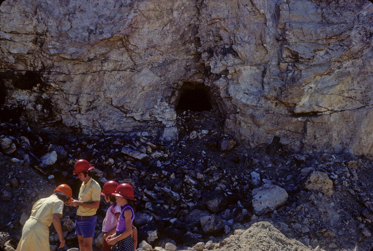
Ah, the colours and fashions of the 1970s! I presume this was in the open cut area, and exposed an old mine shaft. It's a bit difficult to determine the height of the shaft, as it appears to have been partly filled during the open cut operation.
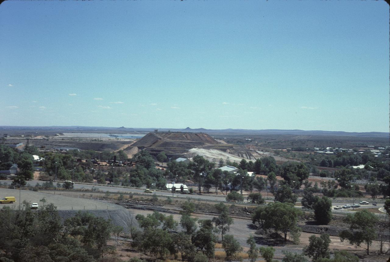
The view south from the MMM site to the Zinc Corporation operations. On the distant horizon are The Pinnacles. Note the relatively abundant trees. Broken Hill used to suffer from horrendous dust storms. They were greatly diminished by the trees and other vegetation. And I would expect that having a regular water supply would make it easier to keep the ground covered.