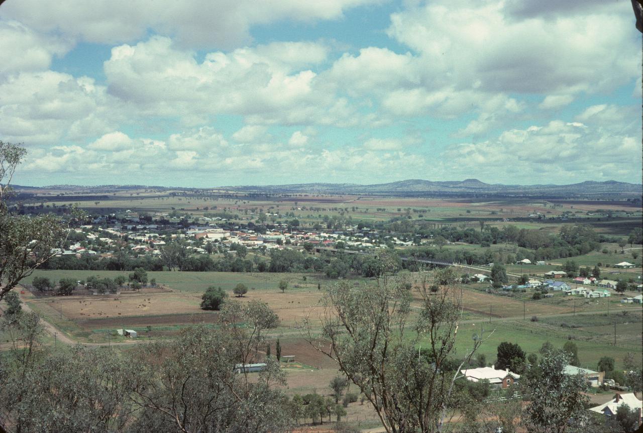
The view from the Red Chief Motel in Gunnedah.
Manilla, but not the one in the Philippines. It's also spelt differently. This Manilla is north of Tamworth.
Near Woodsreef in northern NSW. This area is perhaps best known for something they would rather not have - the Woosreef asbestos mine; now abandoned, but still with asbestos tailings.
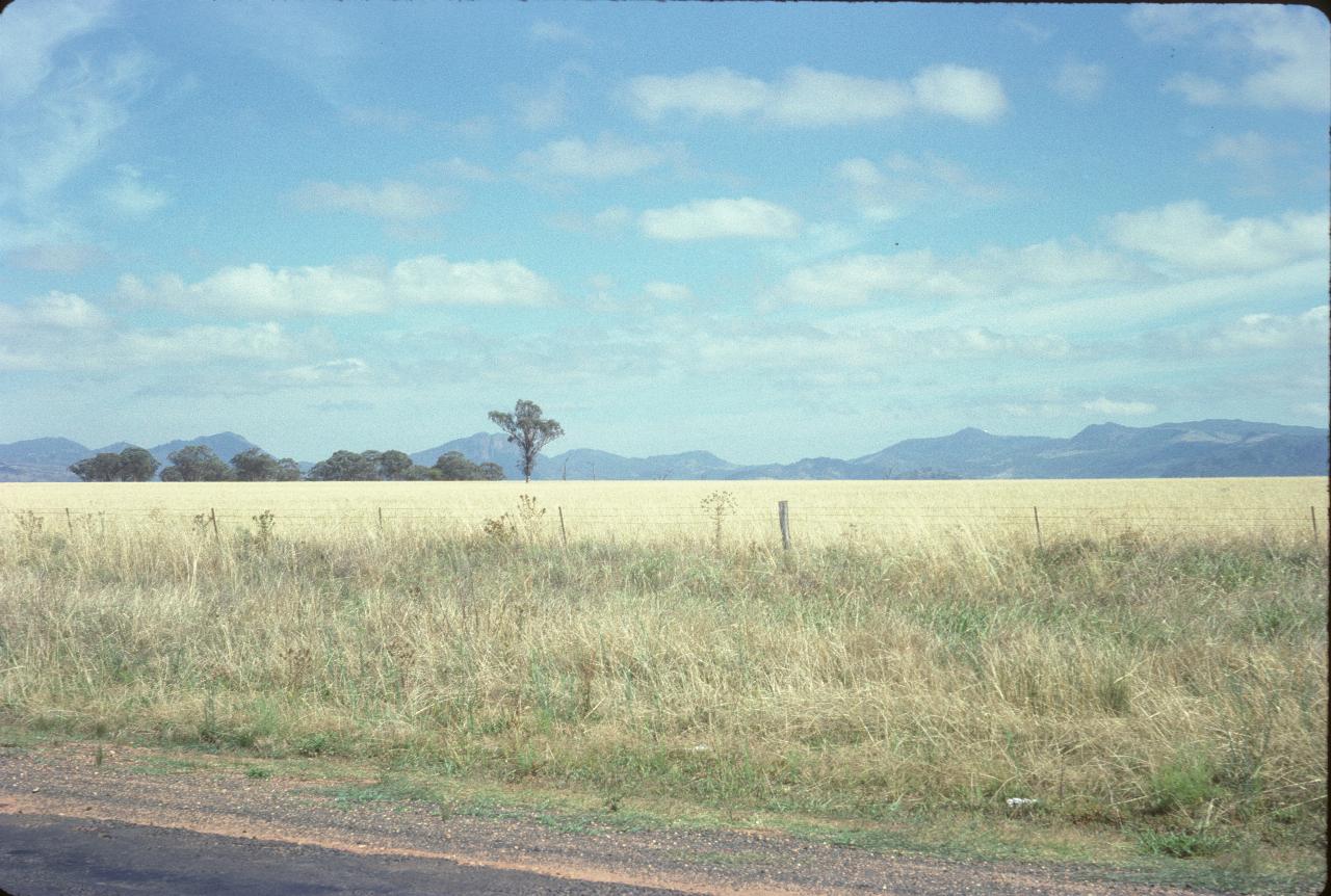
The Warrumbungle Ranges from the Newell Highway, south of Coonabarabran. This is part of the Liverpool Plains, one of the most productive agricultural areas of Australia.
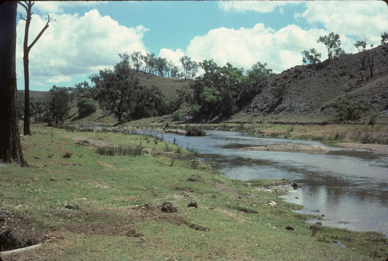
The Castlereagh River at Gilgandra. The Castlereagh runs into the Darling River.
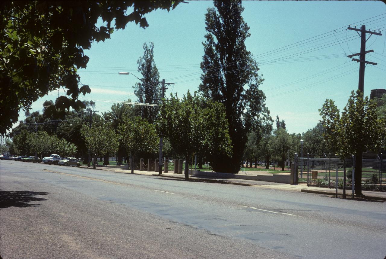
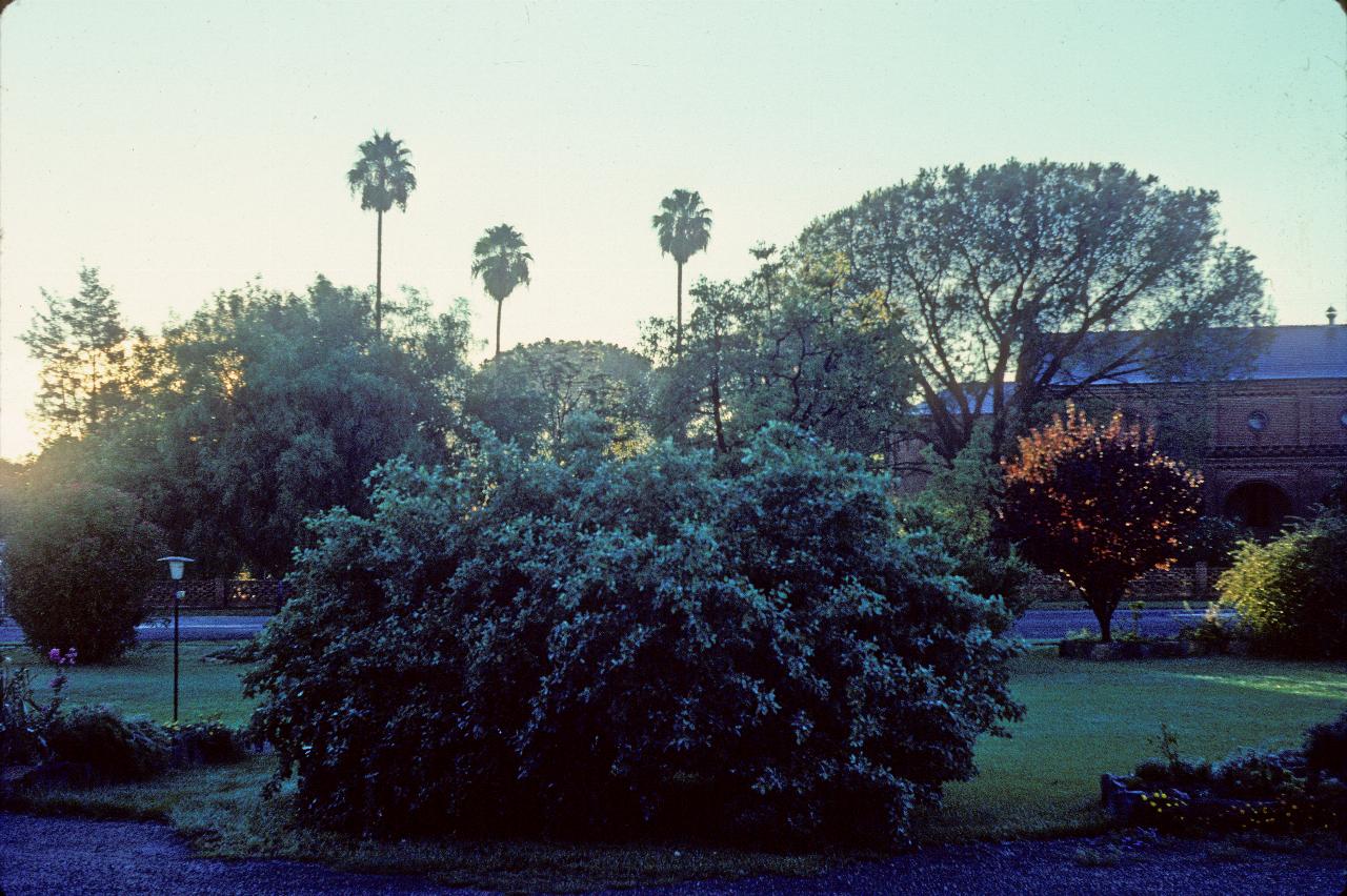
This park is in Dubbo.
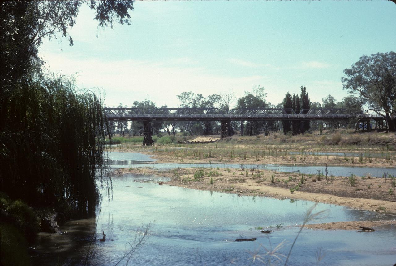
The banks of the Macquarie River at Dubbo. The river is off to the right, and the bridge carries the Mitchell Highway west towards Nyngan and Bourke. The Barrier Highway starts in Nyngan and leads to Broken Hill.
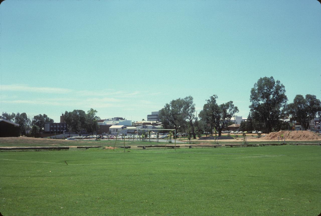
Dubbo's central business district. I think this photo was taken from the same location as the above photo.
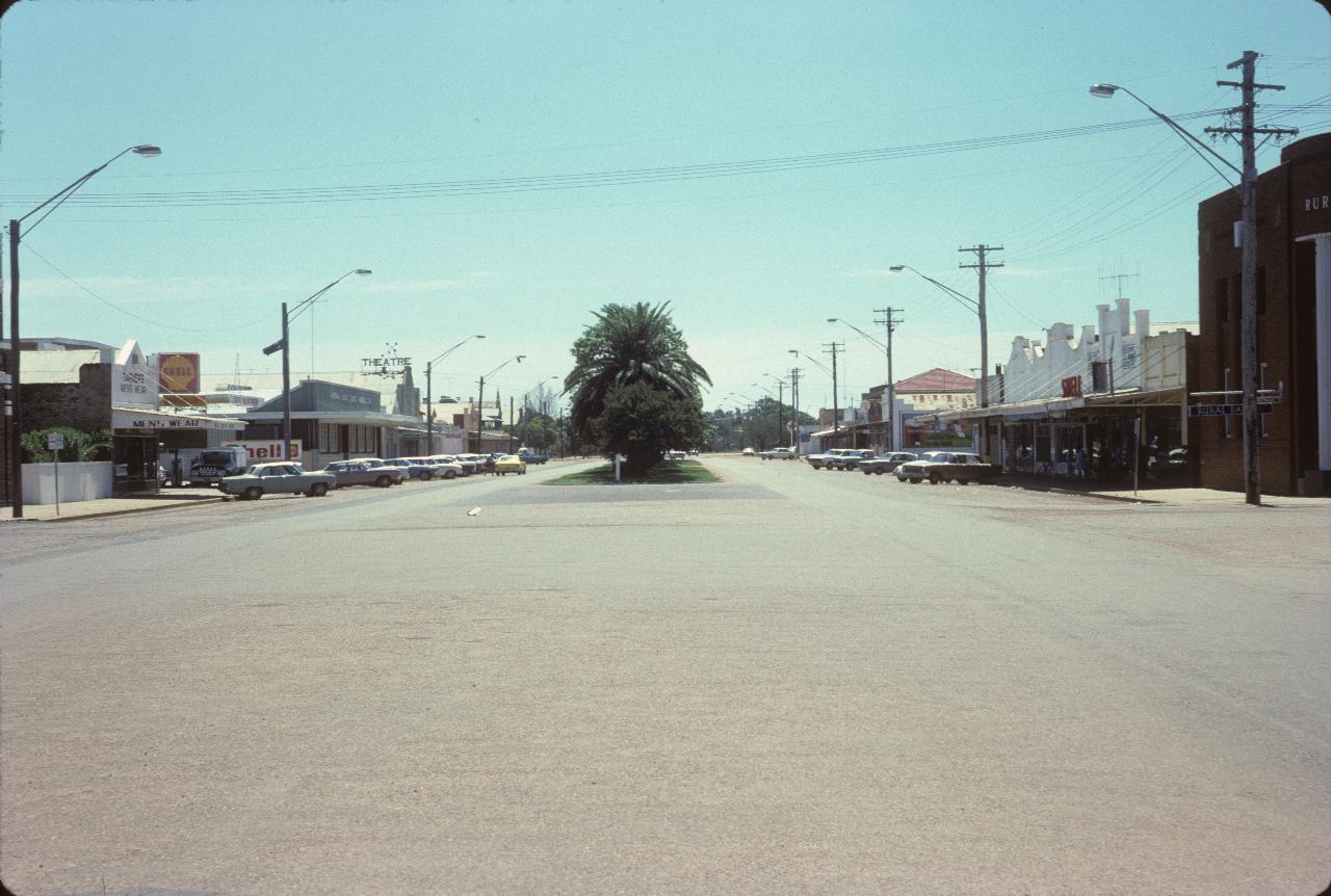
The main street of Narromine in central NSW. Note the large building on the right hand is the no-longer Rural Bank which was transformed into a modern bank, renamed State Bank and then disappeared while I was overseas. These were the days when banks had respectability!
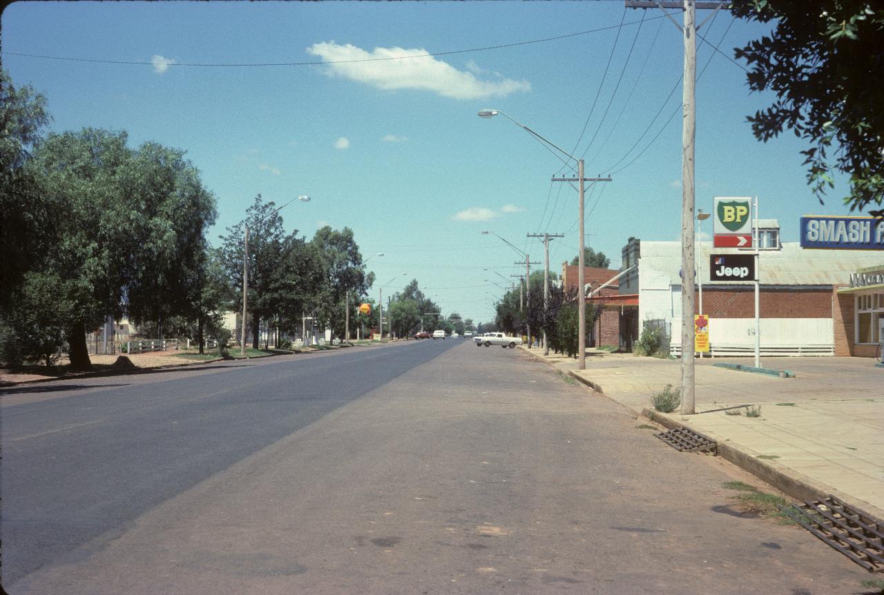
Nyngan, central New South Wales. This is the town where the Mitchell Highway continues to Bourke, while the Barrier Highway begins and leads to Broken Hill and on towards South Australia.
Cobar is the last town for 262km to Wilcannia on the Darling River. The area developed with pastoralists in the mid 1860s, but really took off with the discovery of copper in 1870. The mining industry waxes and wanes with world metals prices, but is still a major employer. Wikipedia has more details on the town and district.
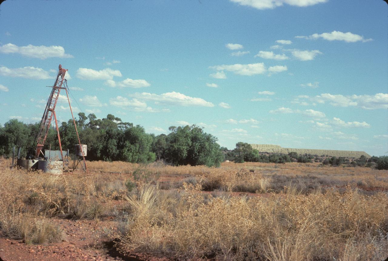
This shows some old mining (drilling) equipment, and in the distance, tailings from mining. Current mining is open cut; I don't know what was operating in the 1970s. This is south of the town, as are all the photos in this section.
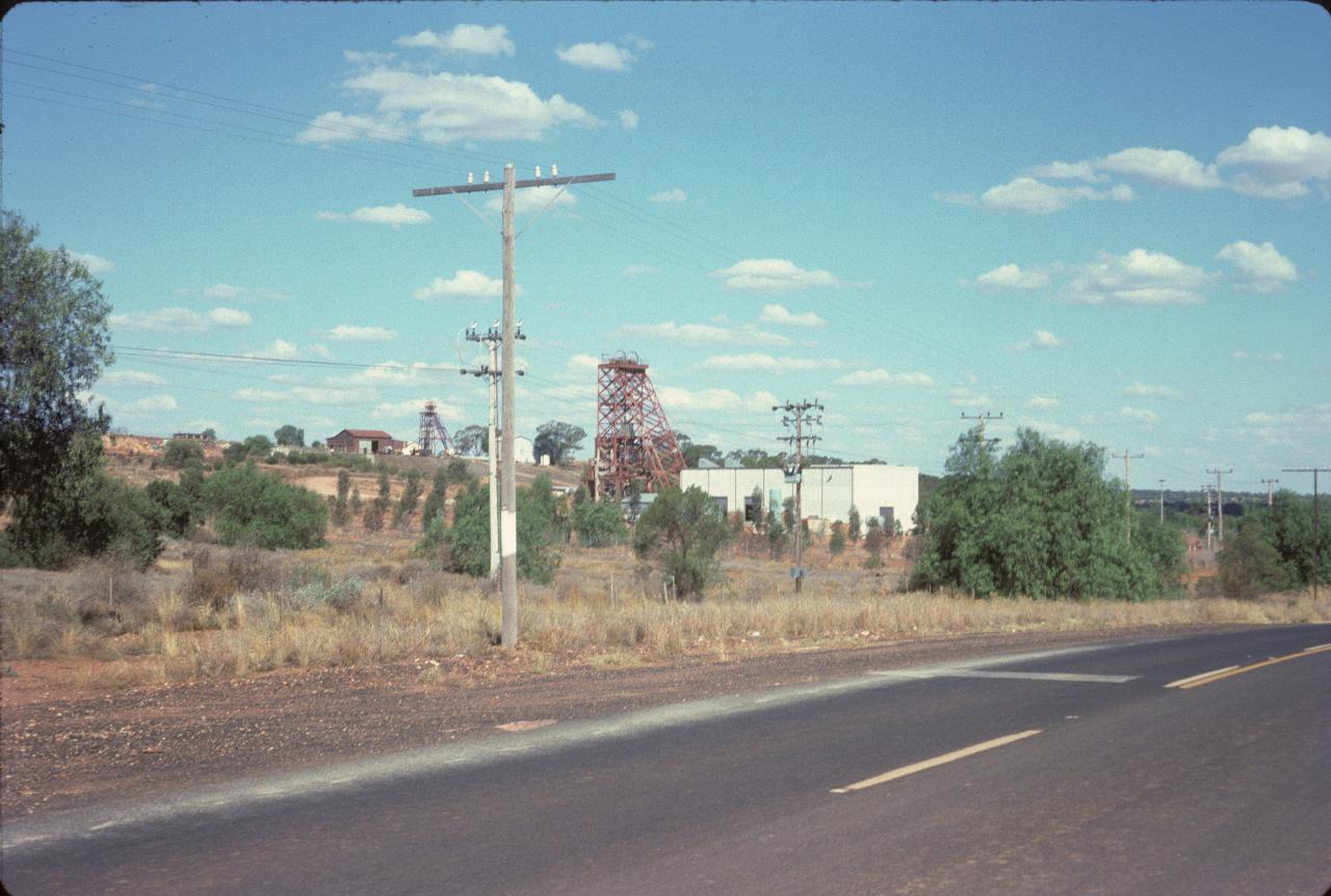
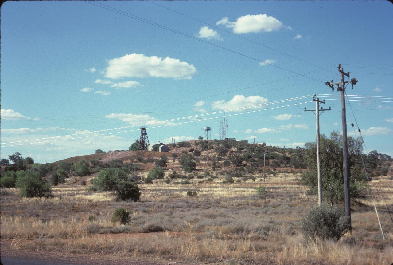
Well, these winding towers indicate underground mines. These look to be active mines, not mothballed or abandoned.
Still south of town, this may be Fort Bourke Hill, although I have it tagged as Cobar Hill. Whether that was a made up name, or was on a sign, I cannot state this far from the visit.
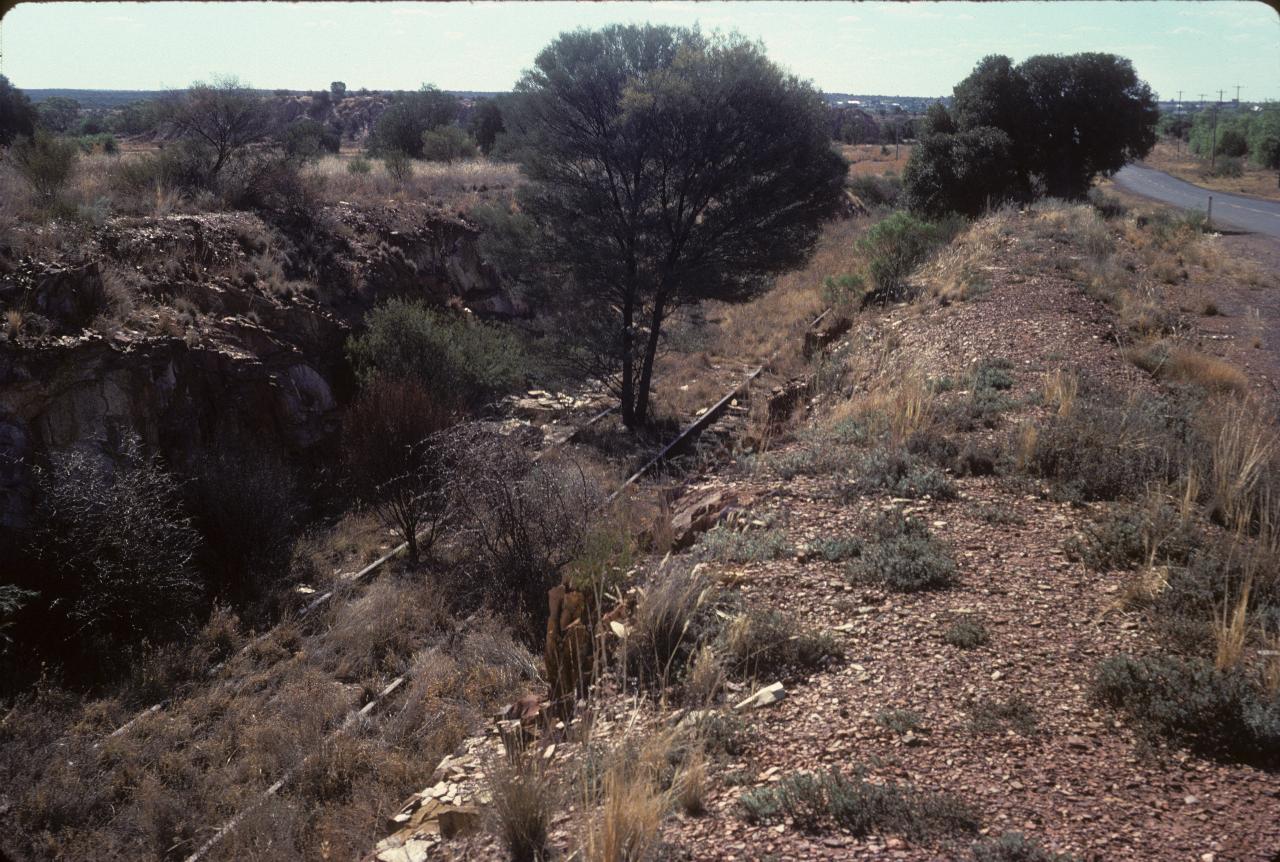
The next train along here will have a hard time. It appears this line has not been used for many a year. The mines operated a number of railways for moving ore, timber and other supplies around the district.
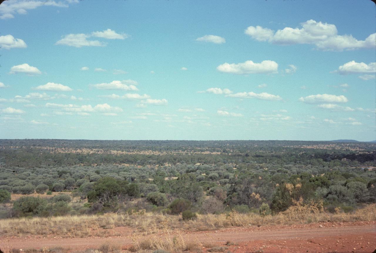
Looking east from Cobar Hill. Not much sign of human habitation there!
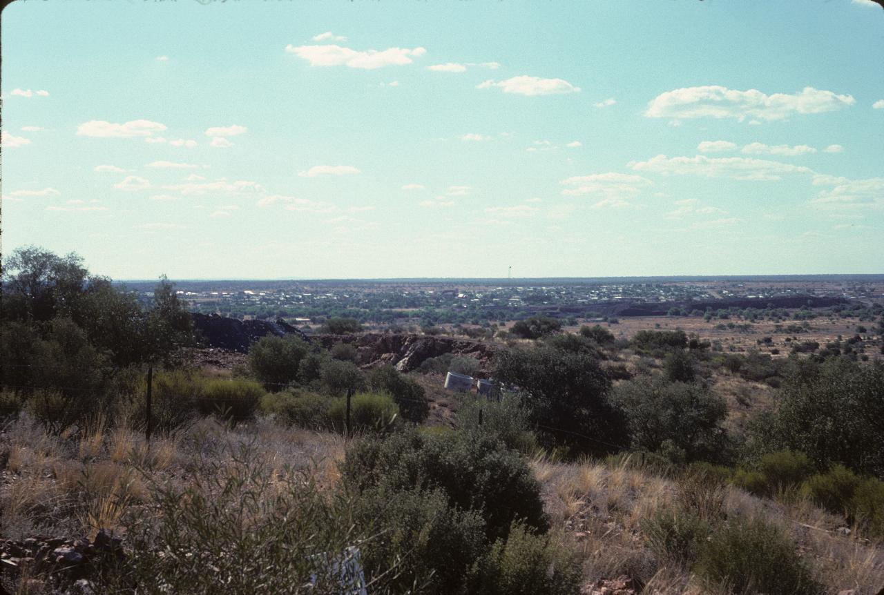
The town of Cobar, as seen from the same location as the previous photo. Just a little to the right of the middle of the picture is a very tall microwave tower. You may need to use the larger photo to see it. When checking into the motel, I was amused to see a telex machine sitting next to a hand cranked telephone! Yes, Cobar still had a manual telephone exchange in 1975, but also had telex. Less than 40 years later, both have passed from the communications world.