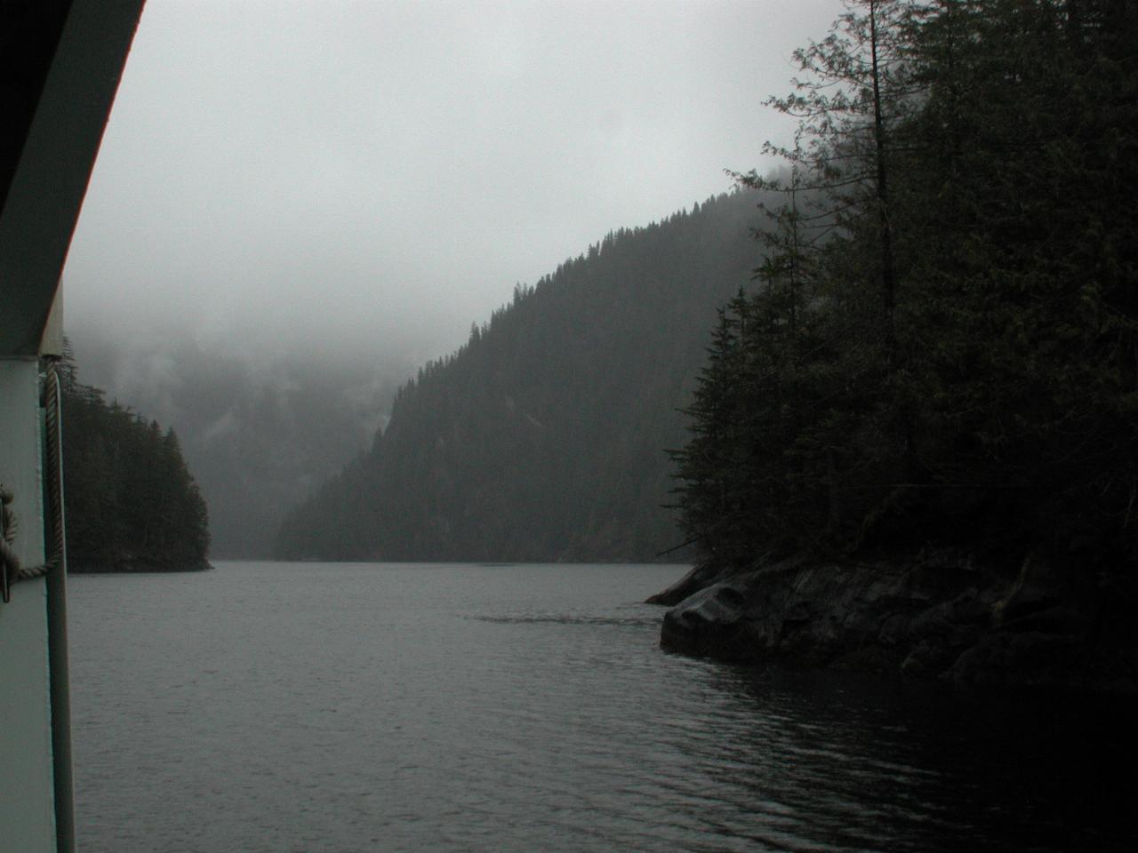
We reached the navigable end of Behm Canal then sailed around in circles while having lunch. And what a divine view!
Nearing the end of the navigable waters.
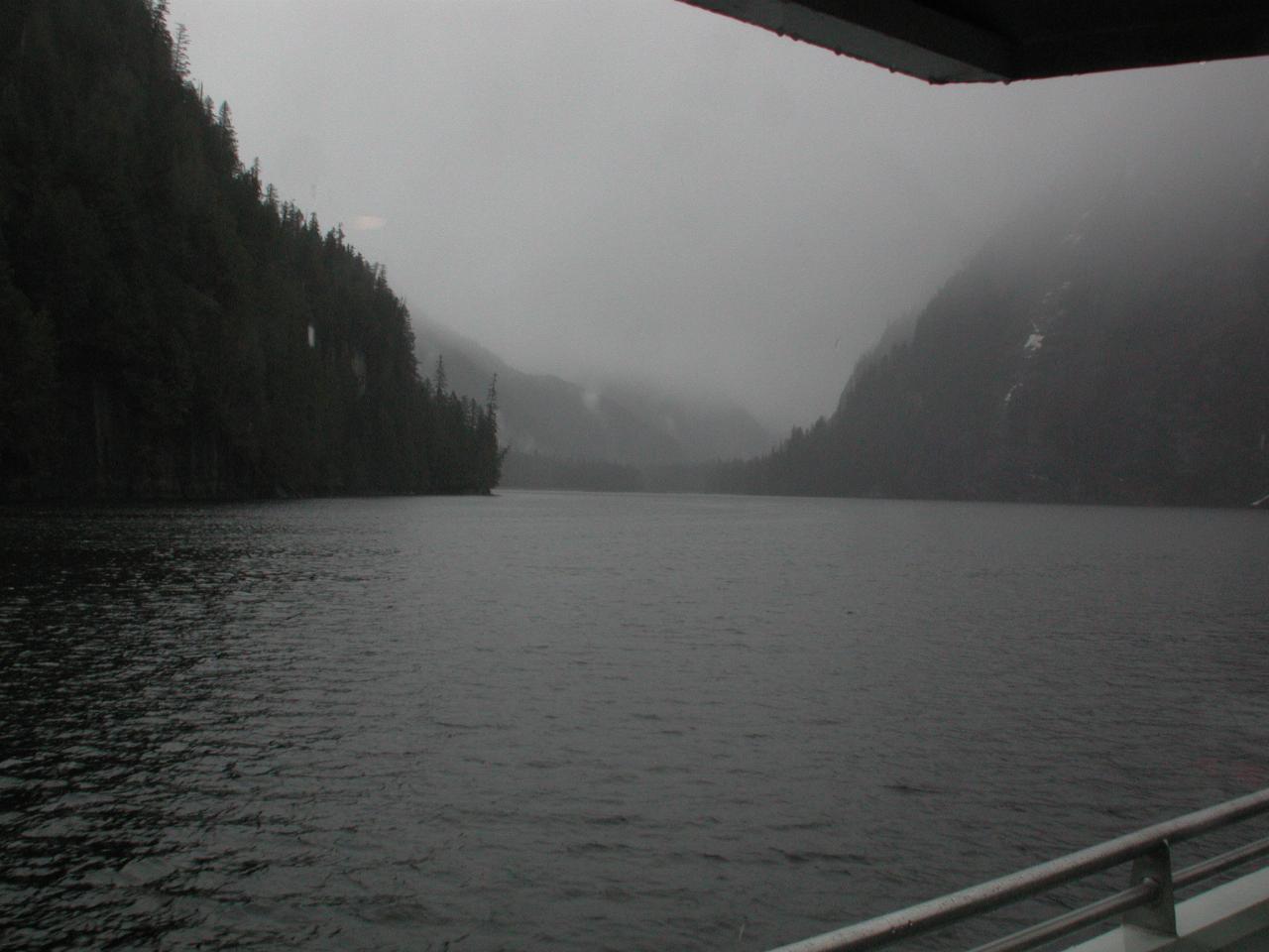
The end of the channel forms a sort of tee shape. I believe we took the eastern side, which ends about here. The western end does head off to Ketchikan, but is apparently not usable by us.
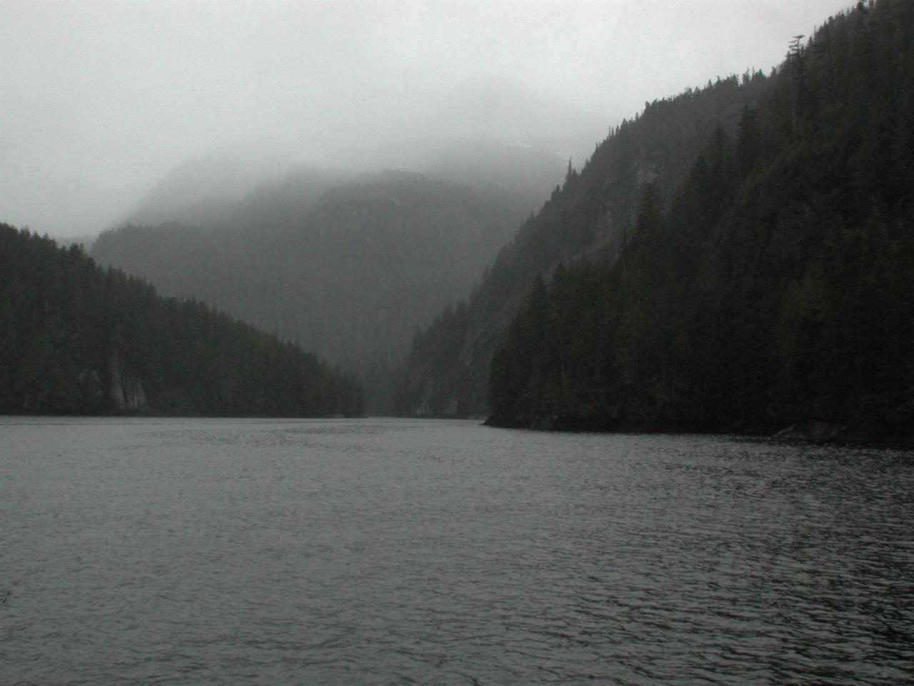
The other end of the smaller (and second) tee shaped area where we circled during lunch.
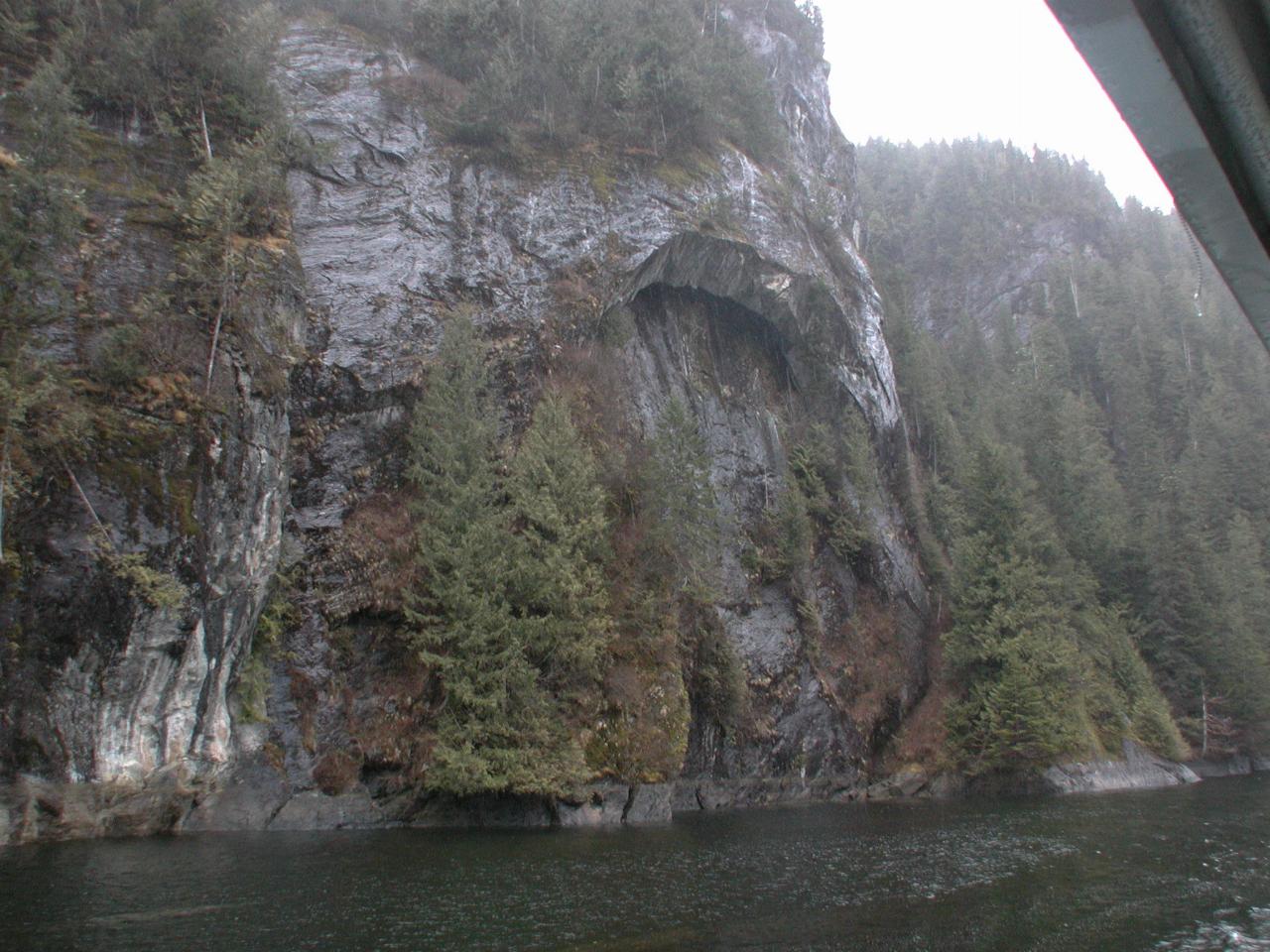
An interesting rock formation. One of the nice things about retracing steps is seeing the other side of the Canal on the way back, and thus not missing anything as it goes past the window!
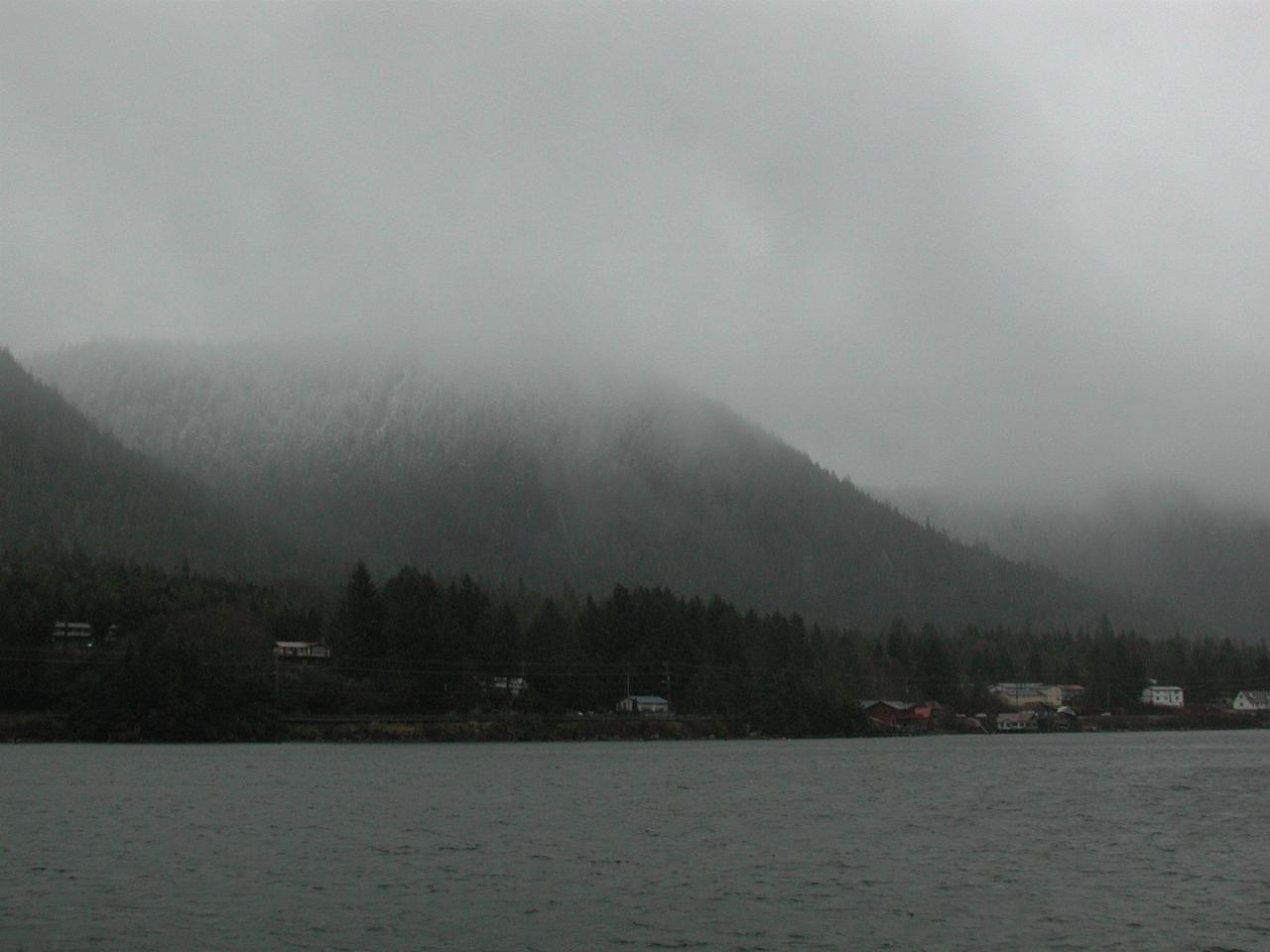
The southern end of Ketchikan, which claims to be the wettest community in North America, with an annual rainfall of between 156 and 162 inches (about 4 metres!) per year. Seattle seems like a desert by comparison!
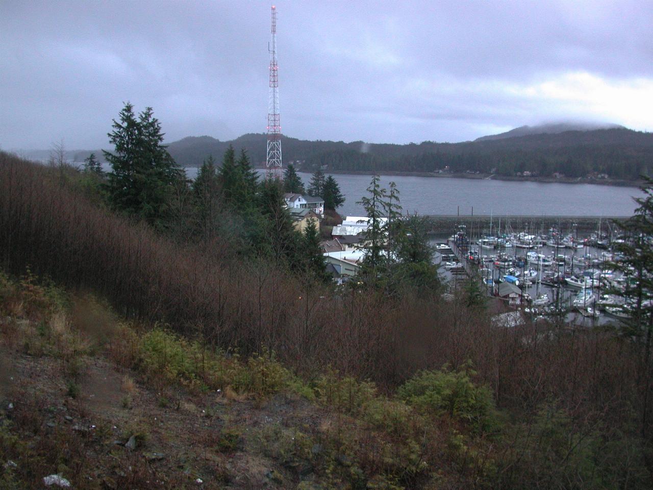
Part of Ketchikan, as seen from my hotel room above the town.
And so, we settled in for a nice meal at the hotel restaurant. The hotel has an inclinator to take guests to and from the downtown area. Kelly went down, but as it was cold and wet, did not stay long. I didn't even think of it!