These photos were taken during the May school holidays on a trip from Sydney to Adelaide along the Murray River and thence back along the Victorian coast through Melbourne and on to Canberra. While the location of the photographs was recorded at the time (I did it!), that documentation has been lost. Thus, some of the locations are unknown, and possibly were even at the time, given some of the photos. Google Images helped to locate some locations.
I think our journey took us to Cann River then the Monaro Highway to Canberra via Cooma.
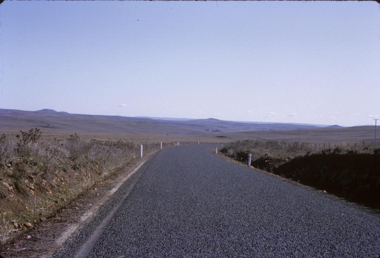
Somewhere along the road to Canberra. This is most likely on the high plains, which could be in Victoria or New South Wales.
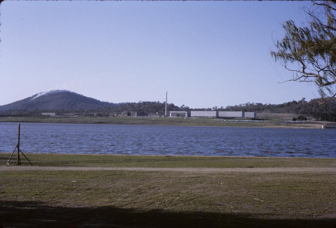
View across Lake Burley Griffin to Mt. Ainsley, and including the Defence Department Buildings in the suburb of Russell, as well as the US Eagle on top of the obelisk.
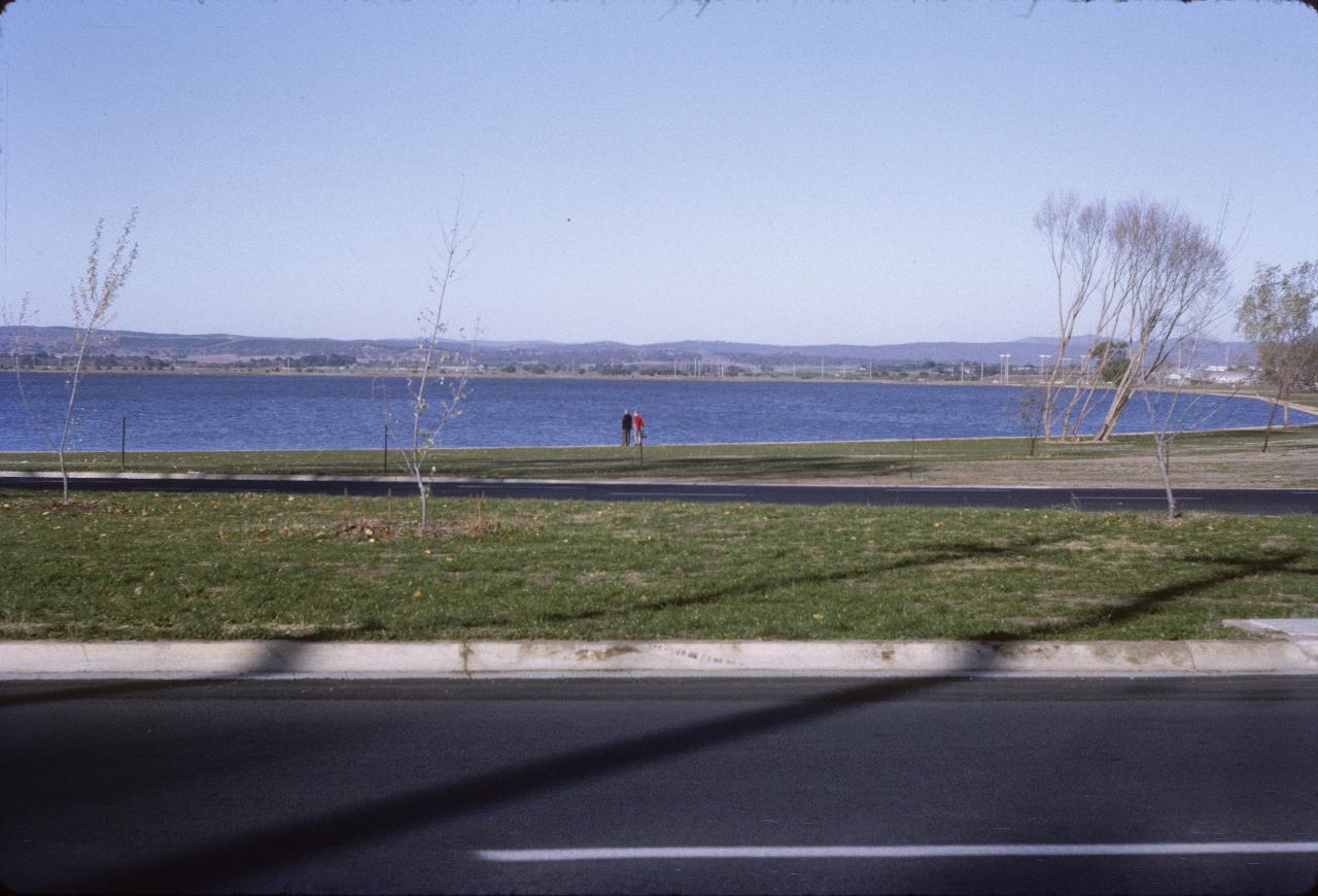
Clarice and Lindsay on the shores of Lake Burley Griffin, not longer after it was filled. This is seen across Bowen Drive (that's the 2011 name) just east of the Kings Avenue Bridge. This is the eastern end of the lake, with the Molonglo River entering somewhere about the far left side of this photo.
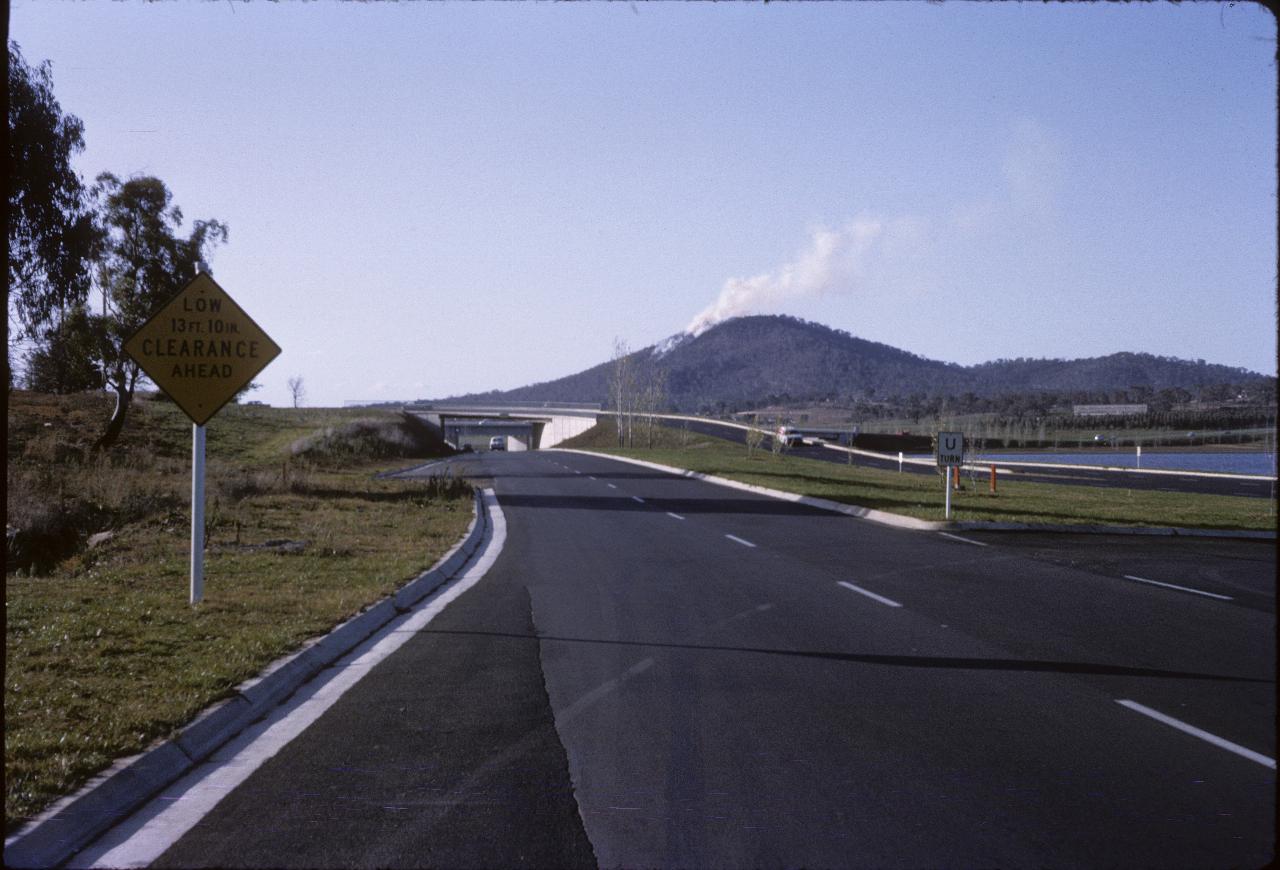
Mt. Ainslie seems to be on fire! Being May, likely a controlled burn off to reduce fuel load. The bridge over the lake (not easily visible) is the Kings Avenue Bridge. The over-road bridges here are an intechange with Kings Avenue Bridge, Kings Avenue and Bowen Drive (from where the photo was taken).
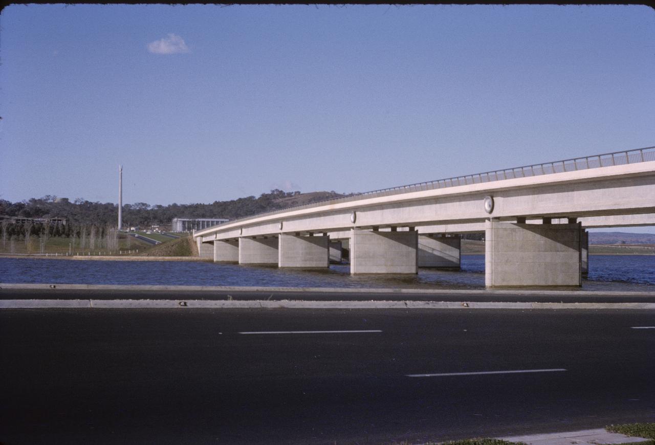
The Kings Avenue Bridge, which crosses to the Defence Department. And the obelisk with the eagle (a gift from the USA) is there too.
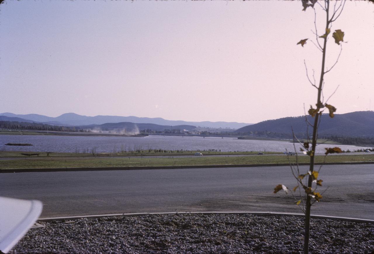
The view from Russell (the Defence Department area) looking west over Lake Burley Griffin; the Commonwealth Avenue Bridges are just visible. The very distant mountains are probably the Brindabella Ranges, and immediately in front is probably Mt. Stromlo, where the ANU astronomical observatory is located. The area of dust is likely construction at the National Library site.
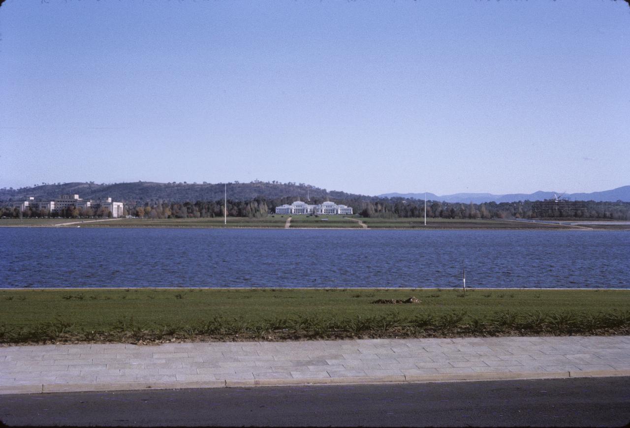
That white building is the old Parliament House. At this time it was the only Parliament House. Later it was extended - by making it wider. And the hill just behind it (not the one furthest back) became the location of the new Parliament House - Capital Hill. The buildings on the left are, I believe, Treasury.
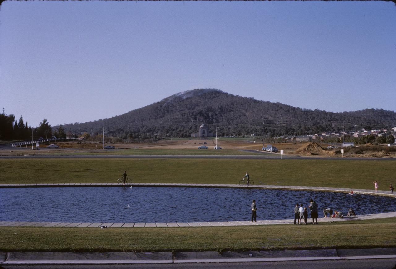
This pond is at the lake end of Anzac Avenue, which appears to be somewhat still under construction in this view. Anzac Avenue leads to the Australian War Memorial, the building with the domed roof, immediately below Mt. Ainslie. Note that Mt. Ainslie is not smoking as much as earlier! This photo likely taken from exactly the same place as the one above, just looking in the opposite direction.
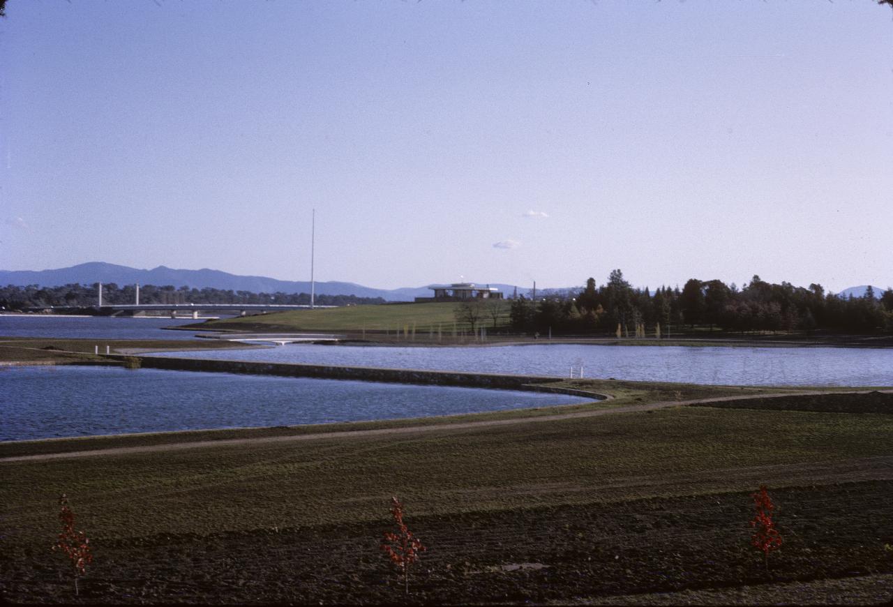
The Nerang Pool on the northern side of Lake Burley Griffin, with the twin Commonwealth Avenue Bridges in the distance. That area is now part of Commonwealth Park.
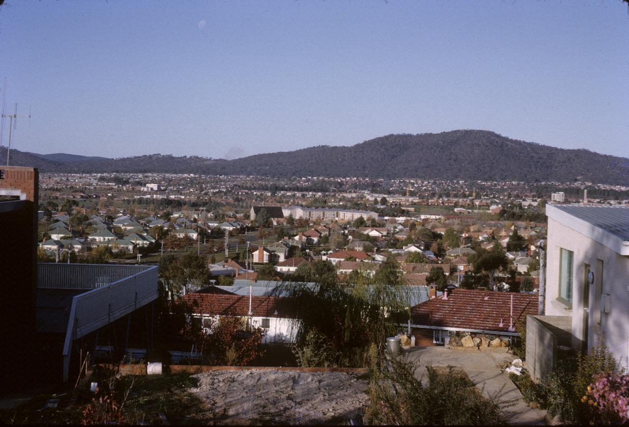
Somewhere in suburban Canberra. Unfortunately the Historical Society was unable to recognise this location (hardly surprising!), but said they would pose it as a challenge to their members!
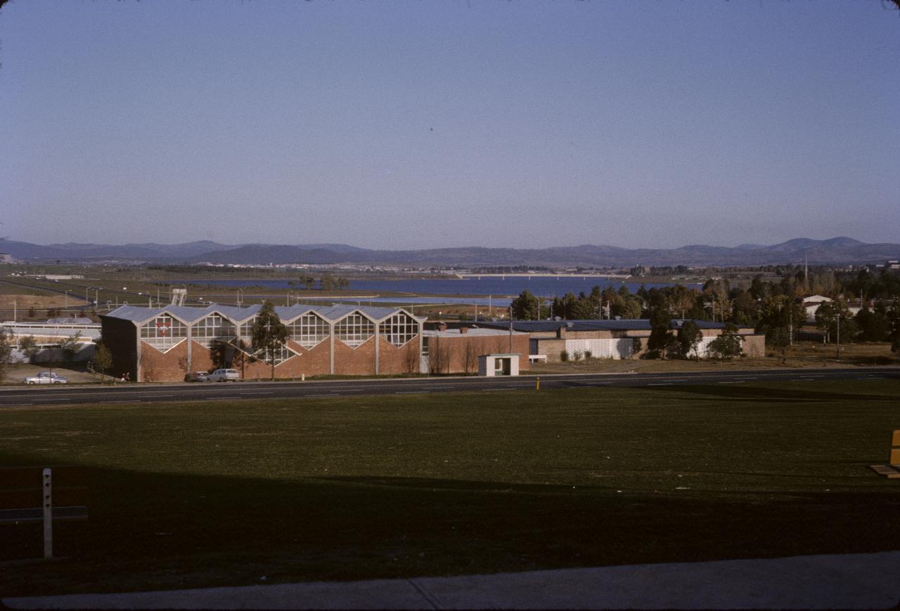
The Historical Society resolved this one. Unable to recognise the building, which has a YMCA sign, nonetheless the gentleman I spoke with was able to identify the diving tower of the swimming pool behind it. Then Google's maps and satellites pictures showed the exact location. The building has gone, but the YMCA is still there - now in the Amdahl Centre. The pool is still there too! And the road in front is London Circuit. The Nerang Pool is visible (smooth water, as opposed to the choppy surface of the lake) and the Kings Avenue Bridge is visible.
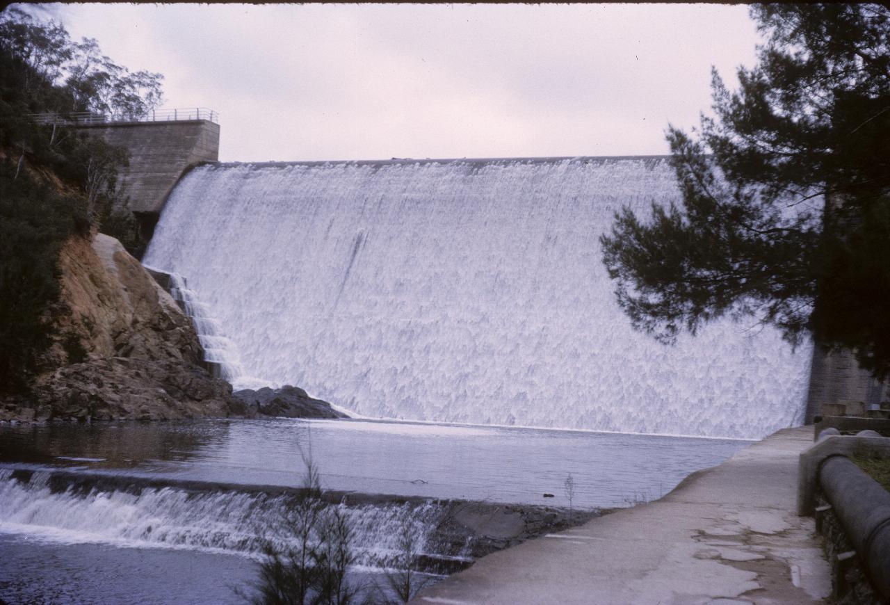
This is the Cotter Dam, source of drinking water for Canberra. As it's overflowing, there presumably had been plenty of rain recently. This wall is now underwater, as a larger dam is being built slightly downstream from this location.`
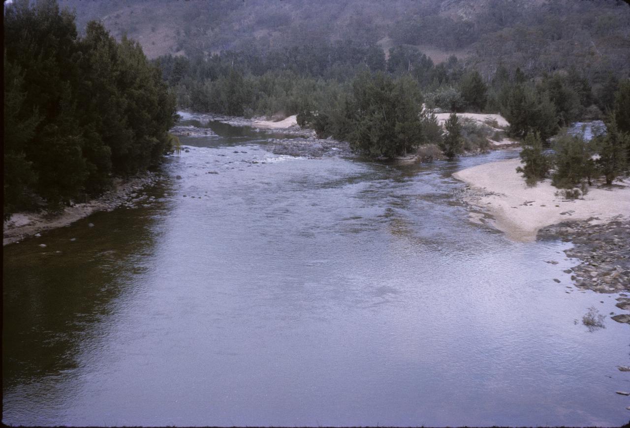
The junction of the Murrumbidgee (left) and Cotter Rivers, downstream from the Cotter Dam, obviously.
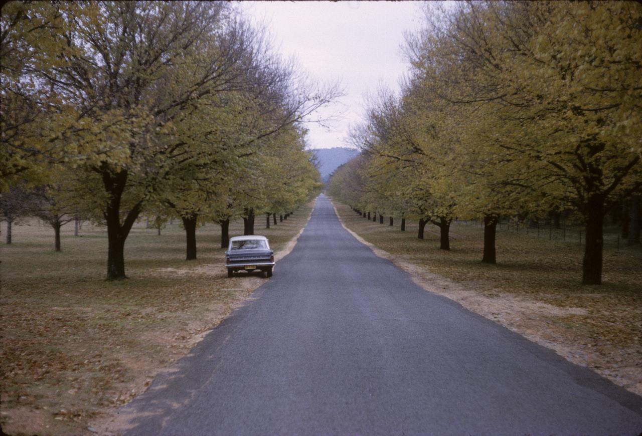
Dad's car admiring the autumn colours of Dunrossil Drive, Yarralumla. This road leads to the Governor General's official residence, Government House.
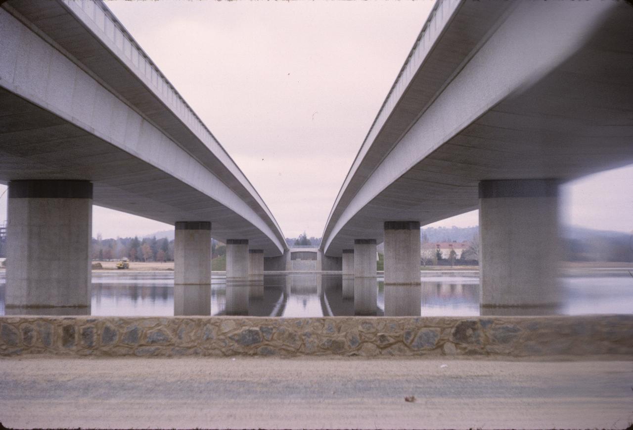
The view from between the Commonwealth Avenue bridges. Since the new Parliament House was built, the view has changed a little, as the large flag pole atop that building is visible between the two bridges at the far end.
And so, with a not so quick trip up the Hume Highway, our trip ended.