These photos were taken during the May school holidays on a trip from Sydney to Adelaide along the Murray River and thence back along the Victorian coast through Melbourne and on to Canberra. While the location of the photographs was recorded at the time (I did it!), that documentation has been lost. Thus, some of the locations are unknown, and possibly were even at the time, given some of the photos. Google Images helped to locate some locations.
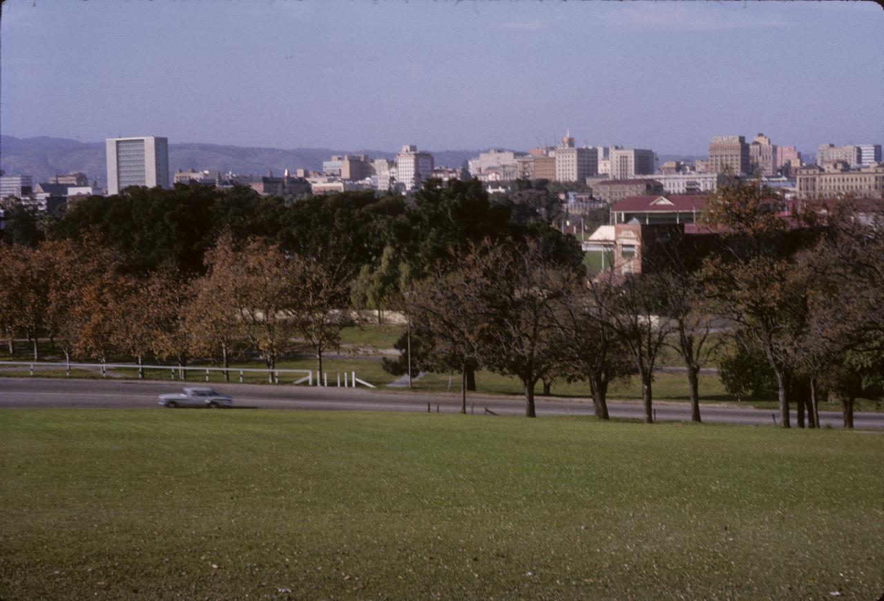
Adelaide, the South Australian capital city, as it appeared in 1964 from Montefiore Hill. Current aerial views, and maps, do not quite match this, as it seems Montefiore Road (the one running across this view) was partially relocated. This photo may have been taken from Light's Vision as it then was; it would appear a little different now, and that's not specifically referring to the city skyline, which is probably very different.
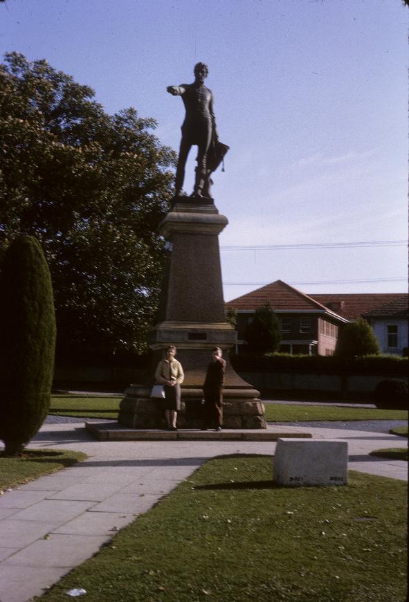
Light's Vision represents Colonel Light pointing to the location of the city he planned - Adelaide. He is pointing in roughly the direction of the photo above. Lindsay is doing the "pointing thing" while Clarice looks on. The road behind is Montefiore Hill Road; Montefiore Road is (now) to the left, after reconstruction of Montefiore Hill Road during 1964/65 - obviously after we left.
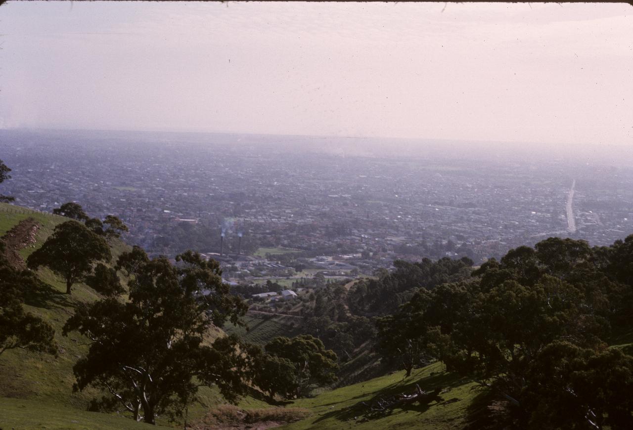
Adelaide, from near Mt. Osmond in the Adelaide Hills to the city's east. Likely taken in late afternoon, making the haze appear worse than it is.
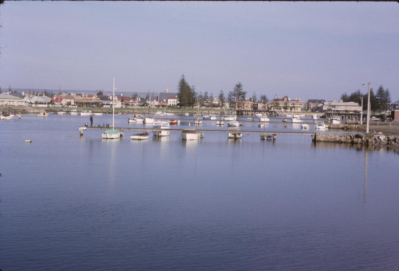
Boats on the Sturt River, Glenelg, a beachside suburb of Adelaide.
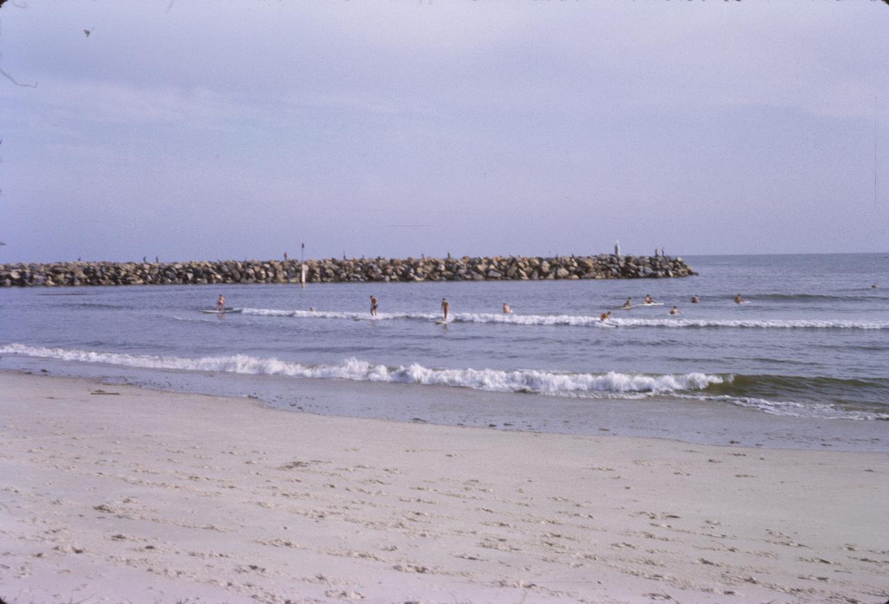
Glenelg Beach, which is on St. Vincent's Gulf on the western limits of the Adelaide metropolitan area.
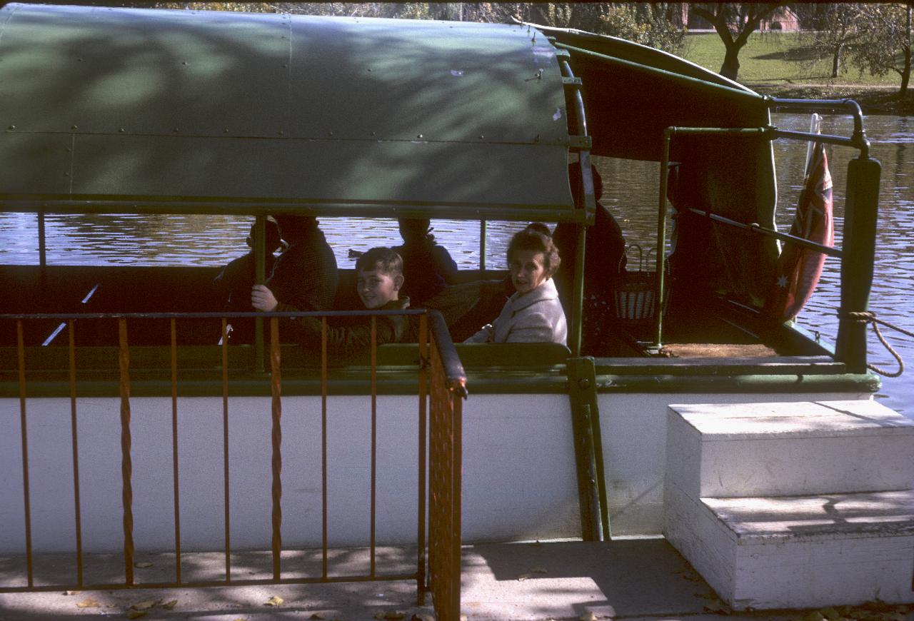
Lindsay and Clarice on the tour boat M. V. Popeye III on the Torrens River in Adelaide. It appears to be called Lake Torrens, as there is a weir to maintain the water level.
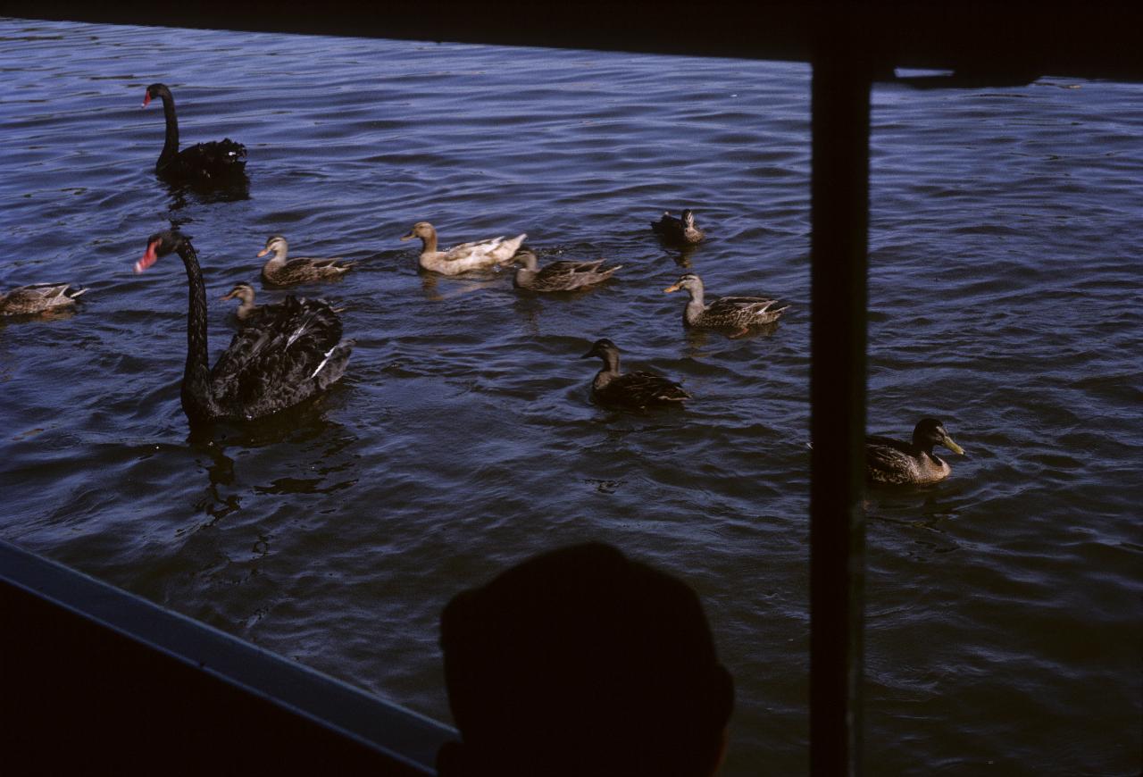
The local wildlife - Black Swans and ducks - seem to know that tourists will feed them, so why not approach the boat and beg. I would guess that the boat was still at the wharf.
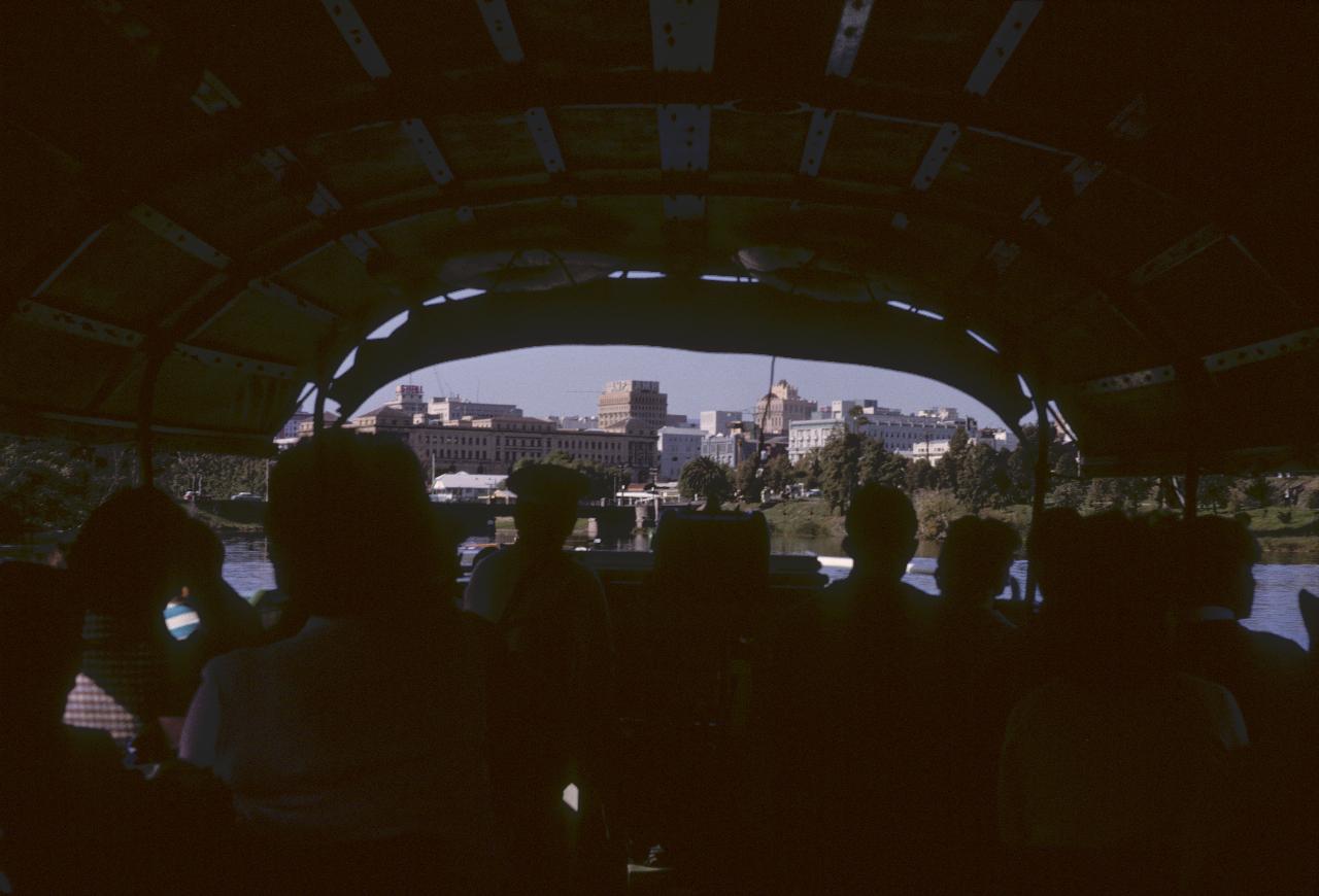
The Torrens River meanders along one side of the city of Adelaide, and this view shows some of that city.
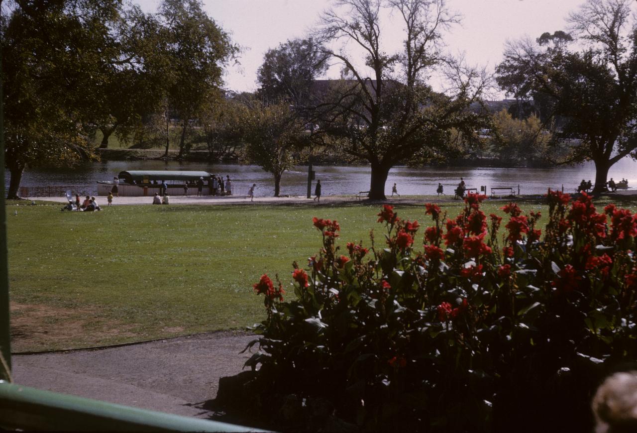
After the tour it looks like we opted for lunch in a tea room within Elder Park, surrounding Lake Torrens. And it looks like there is another boat tour about to begin.
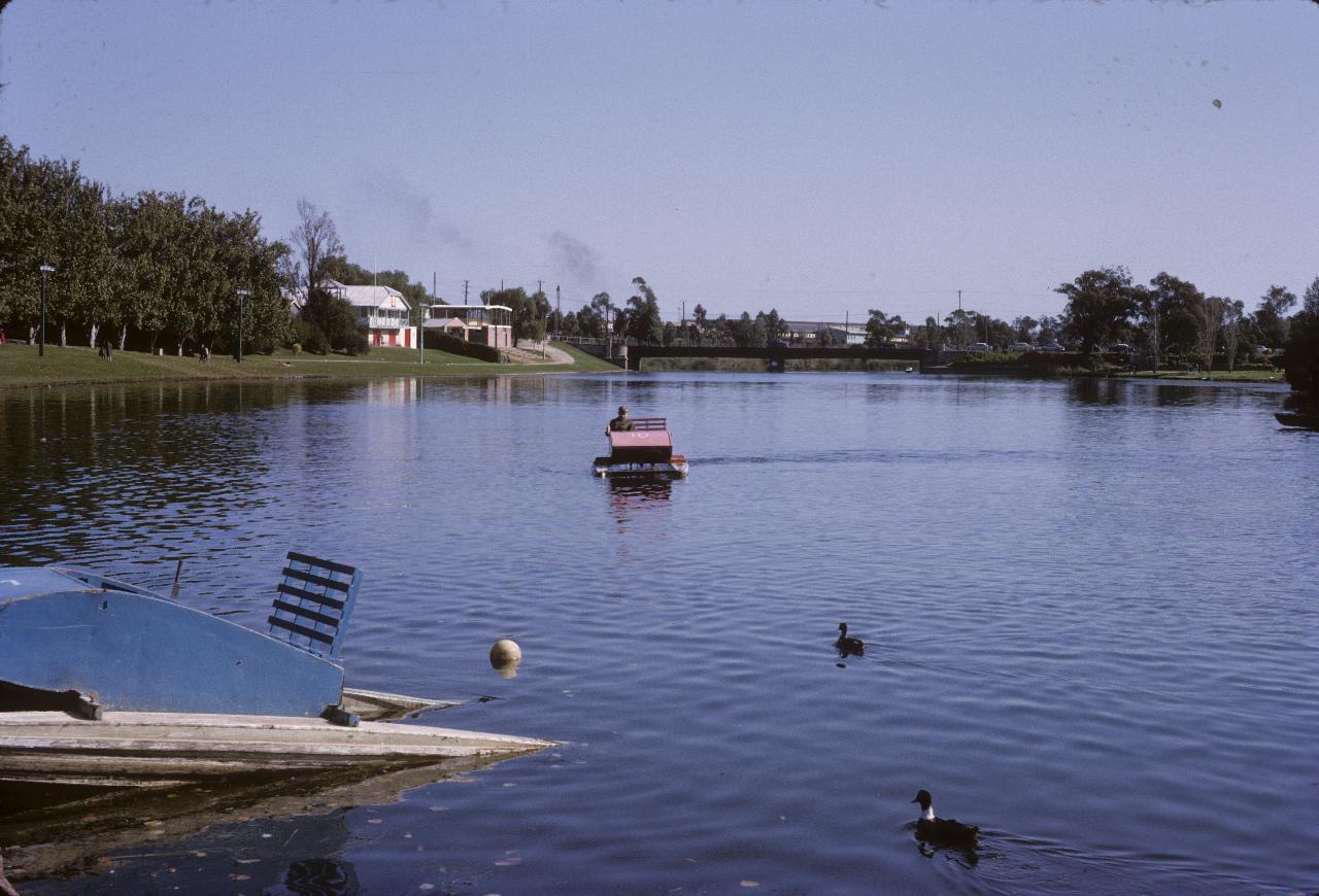
Captain Lindsay does his navigating again on Lake Torrens. Fortunately it's hard to become lost just here!
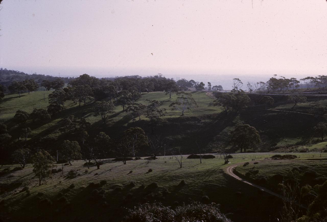
Somewhere in the Adelaide Hills, possibly looking back towards Adelaide. Just 9km from the Adealaide GPO!
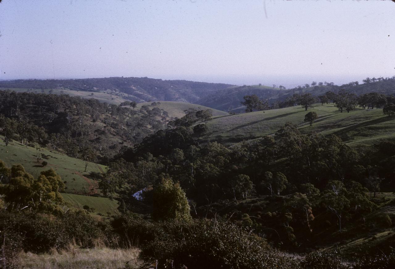
The Sturt River in the Adelaide Hills.
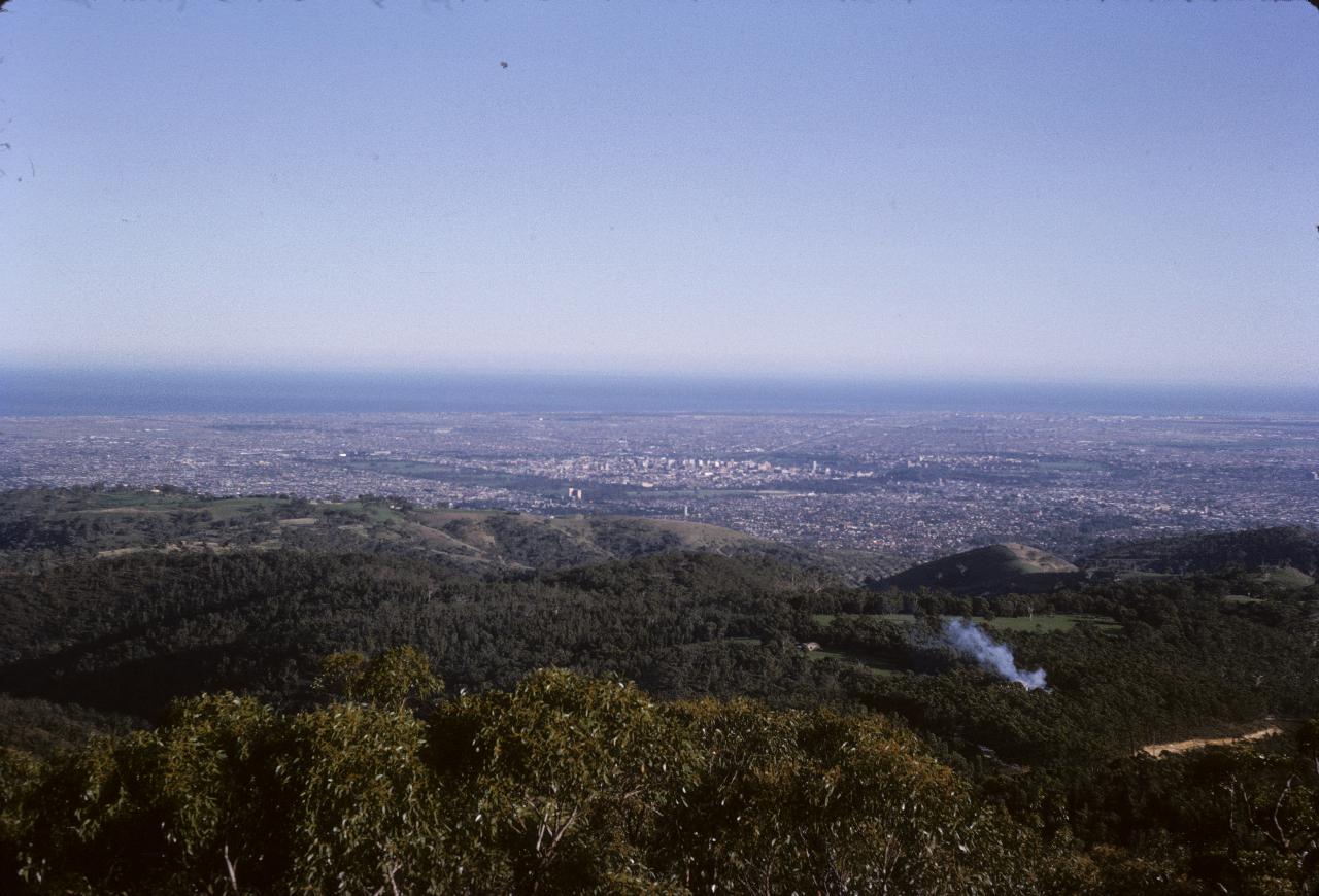
This is a morning view of Adelaide, from Mt. Lofty (710m, 2334 feet) being the highest point I believe. The square in the centre is the central business district of Adelaide, as laid out by Colonel Light when he founded the city. The inner square is then surrounded by an area of parkland on all sides, also visible in the photo.