Today's destination is Adelaide. But first some photos in the immediate area - at Wentworth, Mildura and a certain bridge.
Route planning for the day suggested starting in Wentworth, then returning to Mildura as the road to Adelaide is located there! And with two routes most of the way to Wentworth, it would be possible to visit more territory along the way.
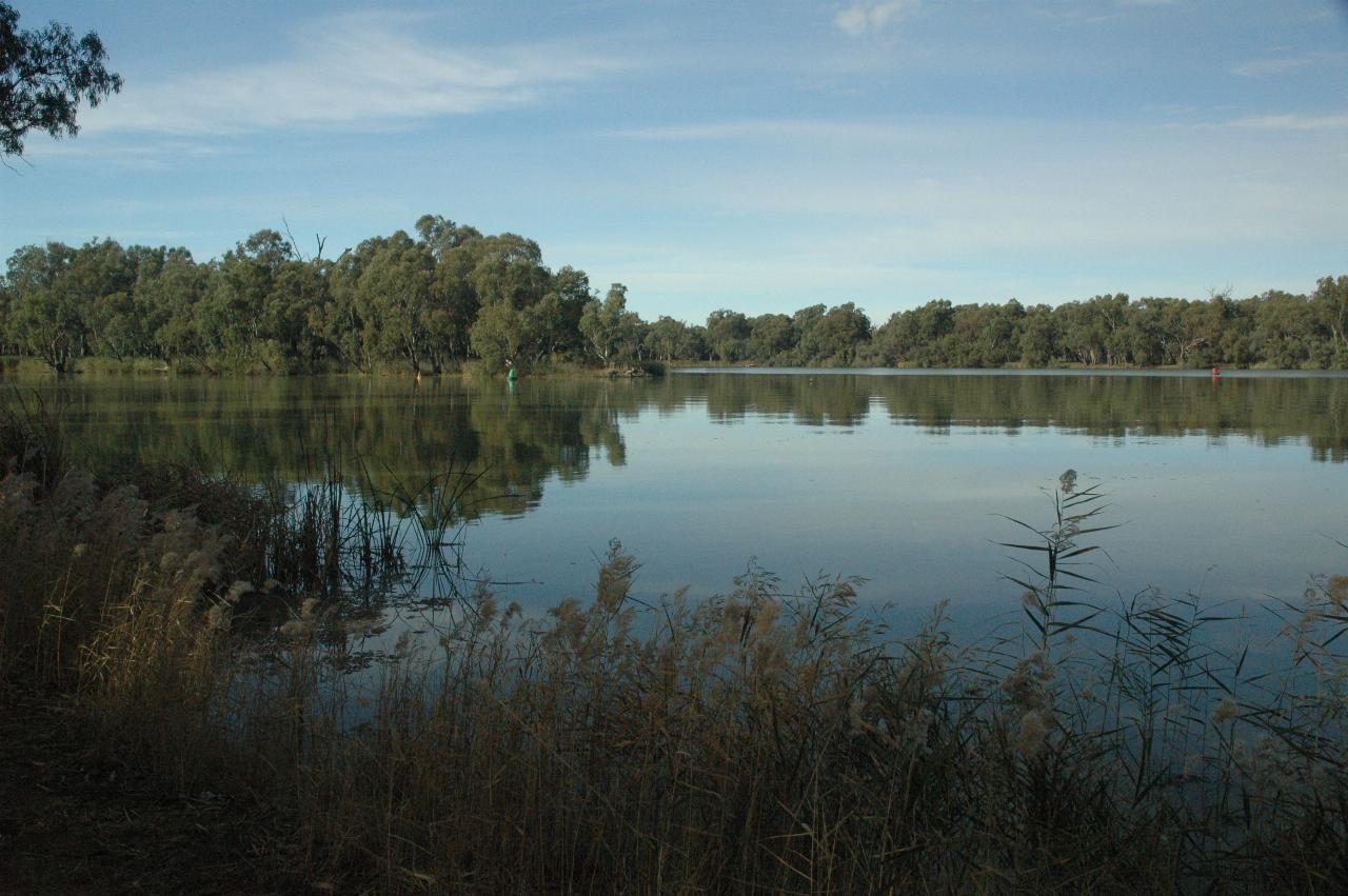
The junction of the Darling - flowing in from the left - and the Murray,
which flows left to right. This is looking roughly south east.
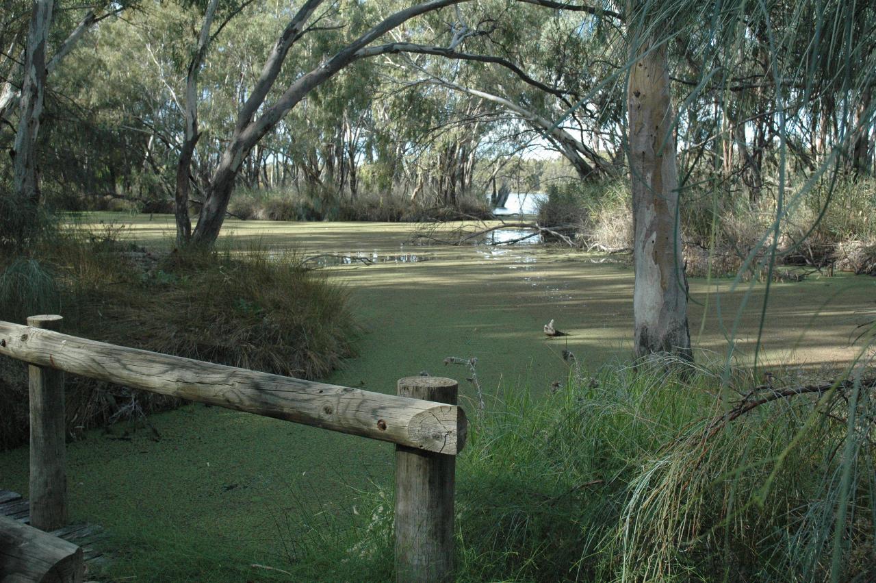
A small inlet off the Murray River, covered with something green, which may be some sort of aquatic plant. This is an area near the junction, mostly natural bushland with a walking path. This is the water inlet area for the Thegoa Lagoon, a site of Aboriginal heritage. The last major corroboree, with over 500 people, was held in the 1860s.
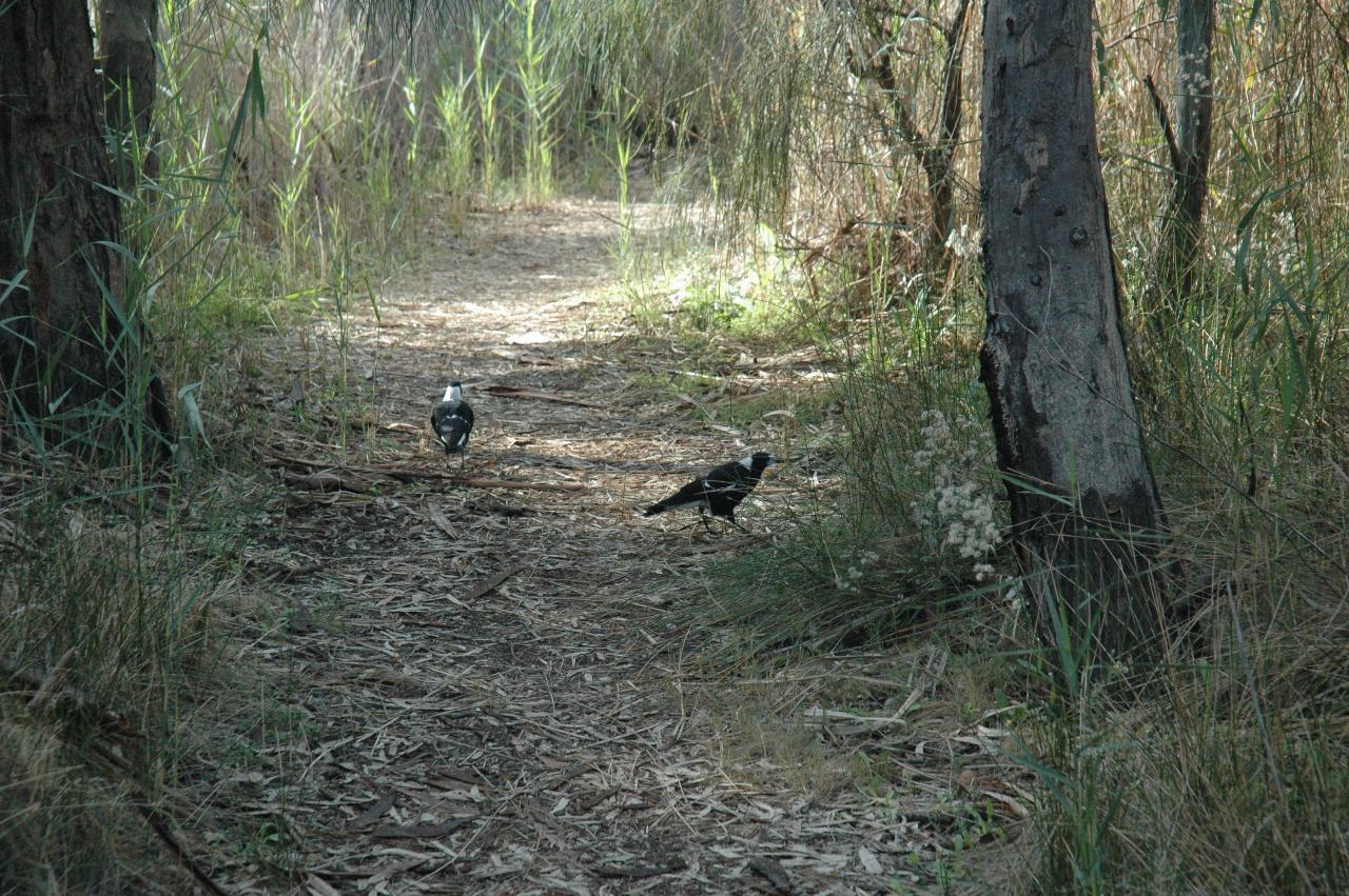
These two magpies were out scavenging for something to eat along the path through the bushland area near the river junction.
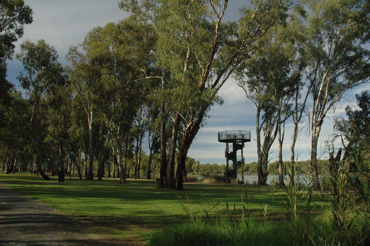
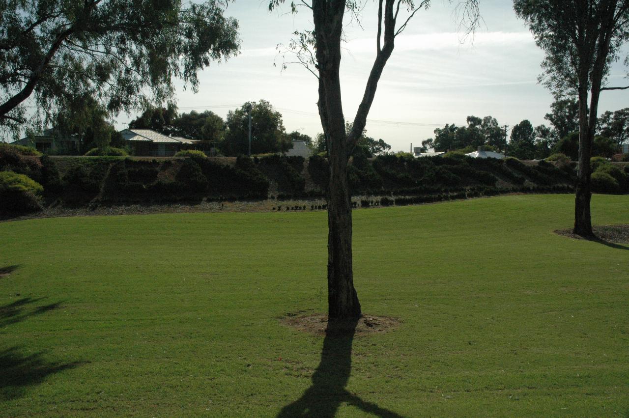
The observation tower provides a better view of the river junction, and is situated in this well maintained area at Wentworth, with visitor facilities and plenty of parking.
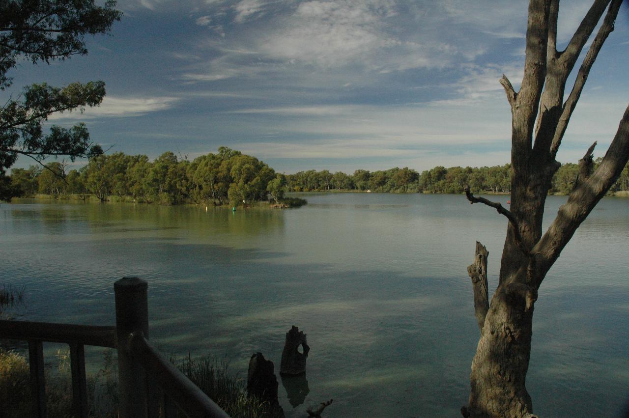
The view from the above observation tower, looking in about the same location as the first photo in this section - the Darling flowing in from the left, and the Murray flowing out to the right.
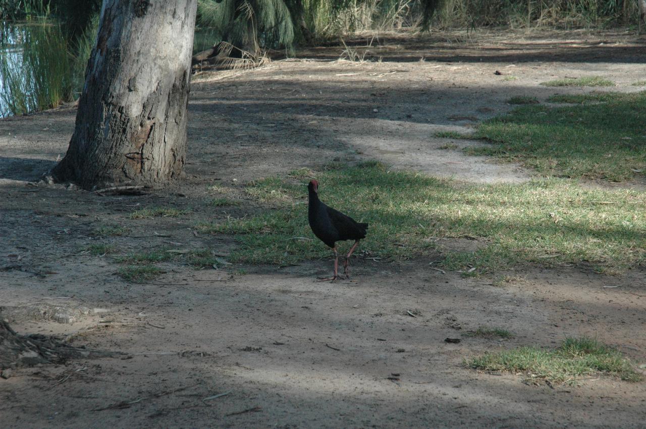
A Purple Swamphen came around while descending the tower. It appeared well adjusted to the presence of humans.
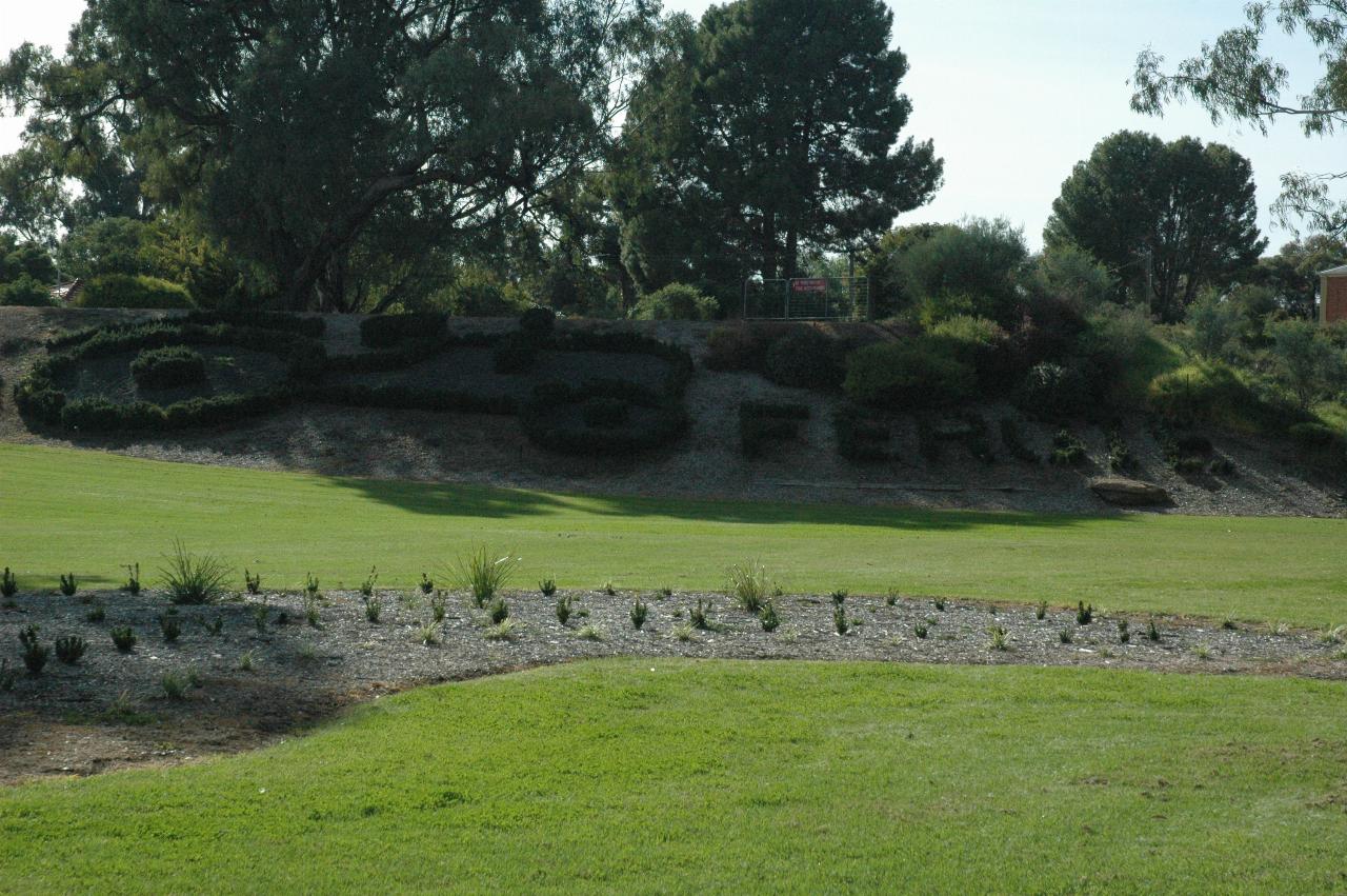
This decorative border to the tourist area at the river junction honours an
event from 1956. To quote the words of the dedication:-
This special plantation pays tribute to the humble grey Ferguson tractor, the unlikely here of the 1956 battle against the floods that threatened to engulf Wentworth when Australia's two largest rivers - the Murray and the Darling - rose to their highest recorded levels. The Ferguson was the backbone of the Herculean effort by the townspeople to save their homes and businesses. The tractors and their drivers toiled tirelessly to build levees around the township and it is commonly acknowledged that without the little grey Fergie Wentworth would have been washed away.
The embankment with the tractor also has the town's name spelt with shrubs. Alas, there is no way to view the name without those trees in the way.
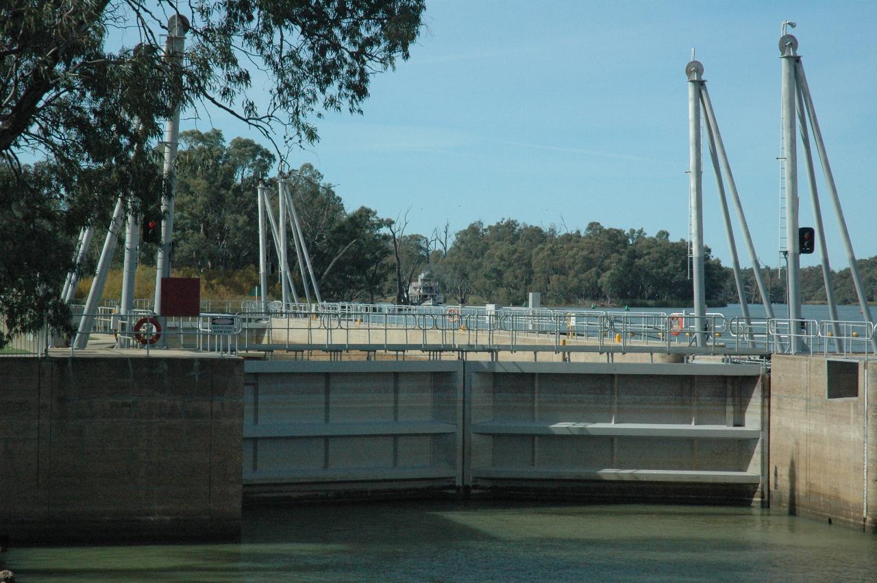
This lock has undergone extensive refurbishment since 1964. The wooden lock
gates replaced with metal ones, and those poles installed, though their purpose
was far from obvious. And safety fencing to stop people falling into the water.
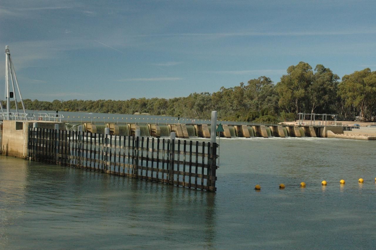
The associated weir for this lock. In 1964 (at least) people were able to walk across the river along the top of the weir. During typical summer flows, the upstream level is 3.4m higher than downstream. And a fish ladder (or fishway) has been added to the southern (distant) river bank.
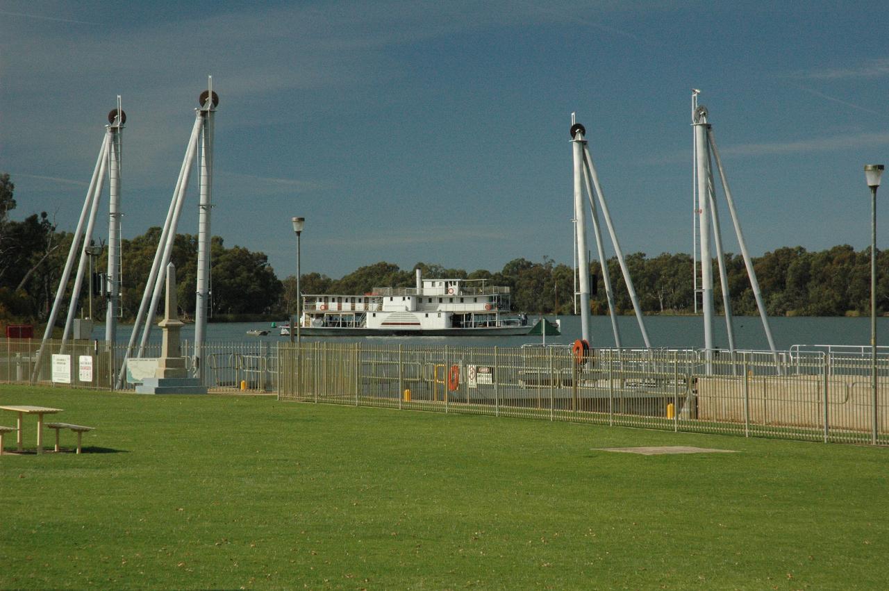
This paddlewheeler, presumably from Mildura, had earlier come down the Murray and headed up the Darling while I was at the junction area. Now it is returning, coming a little downstream and then turning to head back to Mildura.
The entrance to Lock 11 at Mildura. This is "the mainland", with the lock
and island in the distance
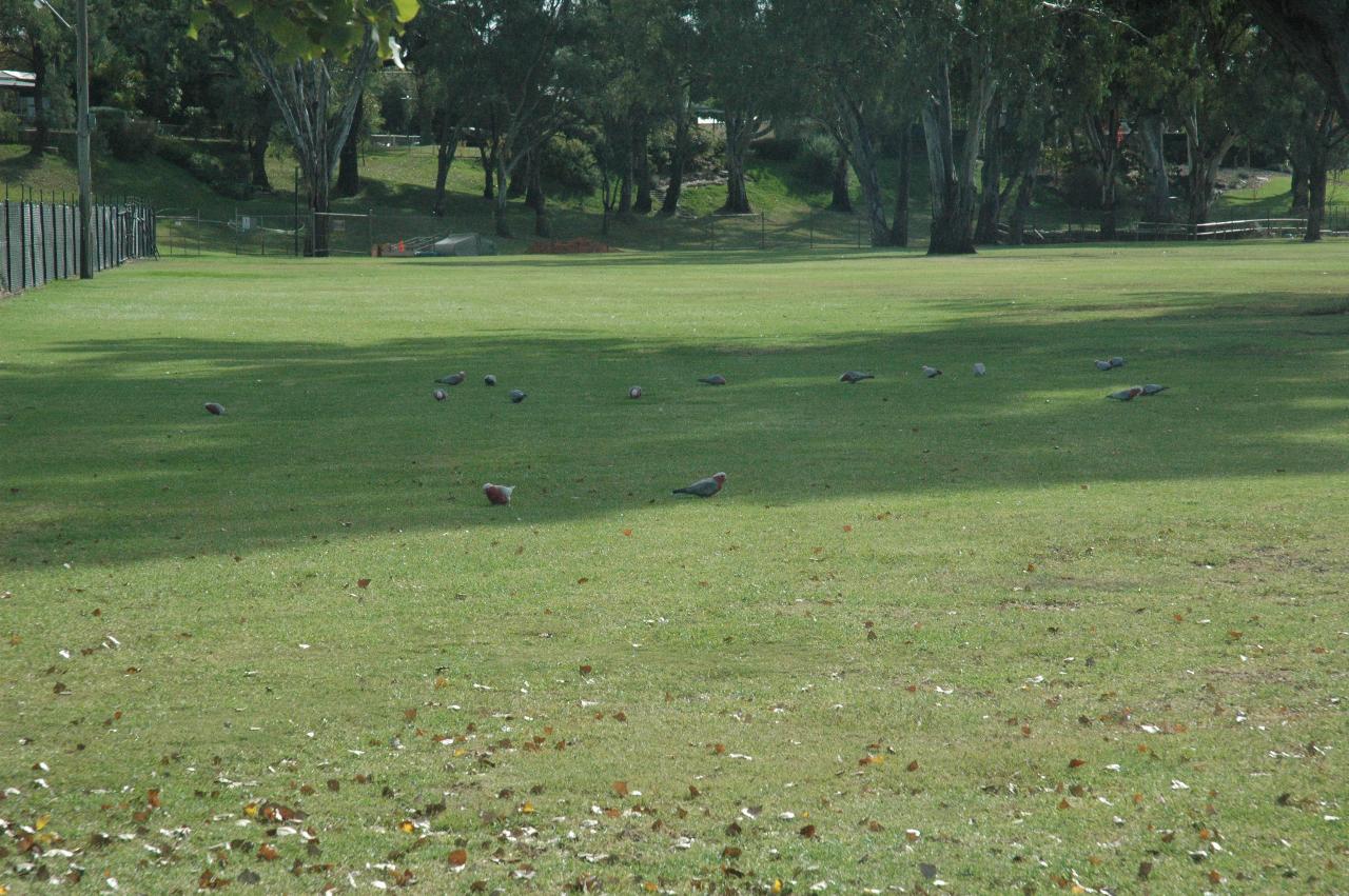
The grounds around the lock are well maintained, and appear to be a good place for these galahs to have a feast.
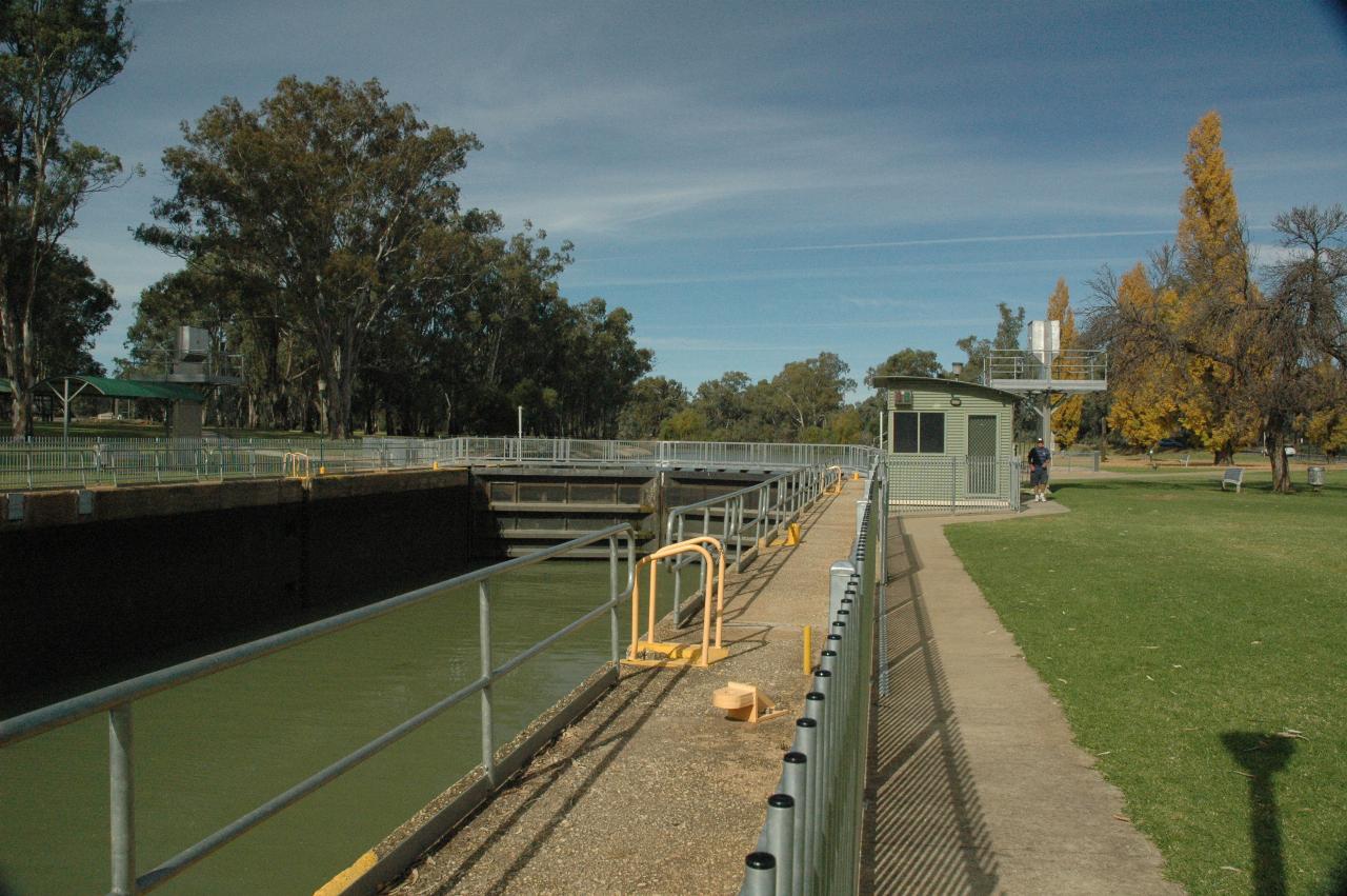
Lock 11 is expecting a tourist boat coming upstream, with the water
at the downstream level. As with Lock 10 above, there has been considerable
upgrading of this lock, including the safety fences to stop people falling in!
New steel lock gates and
a control cabin for the operator. Presumably much nicer when there is
inclement weather.
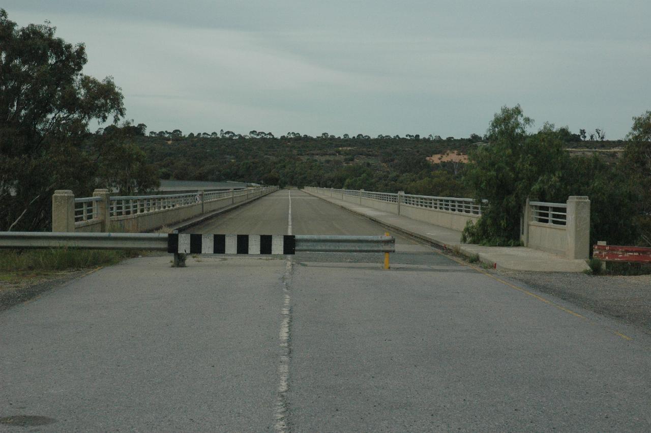
The photo of a blocked off bridge is not very interesting, except that this bridge
was opened on the 24th of April, 1964, less than a month before the 1964 trip.
So it was surprising to see it blocked,
as it appeared in good condition, if perhaps a little narrow. It appears the bridge
was considered inadequate for B-double trucks. I presume weight was the problem,
but width might also have been an issue - it did seem narrow when I walked part
way across.
To the right is a cairn with some plaques with details of the construction and
the opening ceremony. The bridge details are thus:
The bridge of 12 spans is 1450 ft. long between abutment bearings, has a 26 ft. wide carriageway, and is on a uniform grade of 2½ percent. The concrete piers are founded on precast prestressed concrete piles of maximum length 61 ft.
The prestressed concrete girders were precast segmentally in Adelaide, brought by road to the site where the segments were assembled, jointed, stressed and launched into position, the weight of the heaviest girder being 50 tons.
The total cost of the bridge, excluding approach roadways constructed departmentally, was ₤510,000.
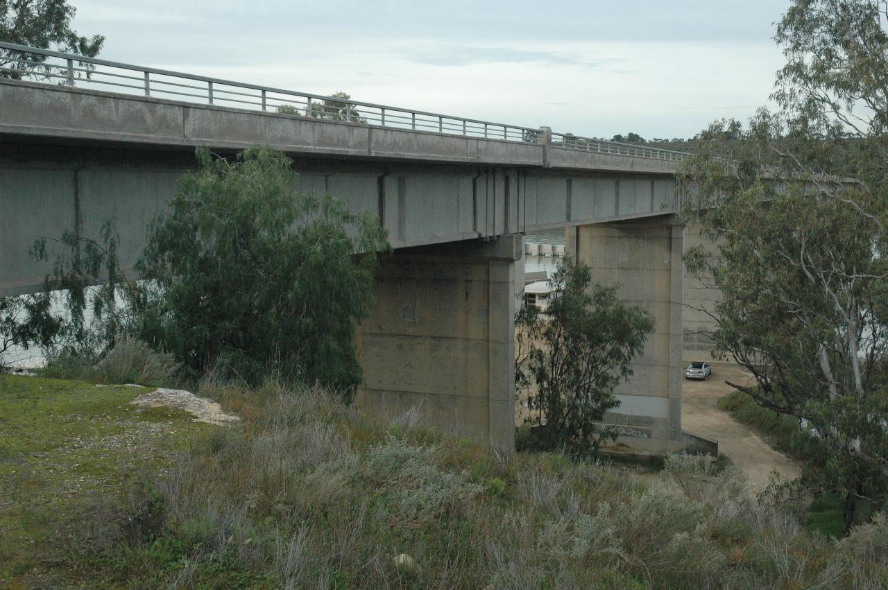
This bridge looks to be in good condition. The first lock and weir on the Murray River, just visible between the piers, is located here at Blanchetown.
The bridge was opened by the then Premier of South Australia, Sir Thomas Playford.
Blanchetown is also the location of weir and lock number 1 on the Murray River. It is 274 km from the river mouth, 3.3 m above sea level, with a typical head height of 2.5 m at full summer flow.
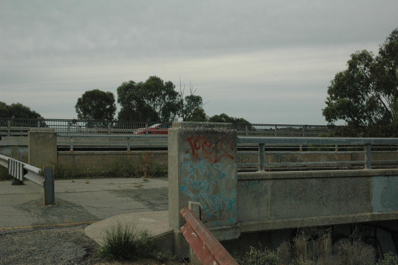
The new bridge with a car, the old one not having seen a car for quite some time.